Cuniger Rock

Island in Fife

Scotland

Cuniger Rock

The North Carr Lightship in Anstruther harbour In 1989, the lightship was part of the Scottish Fisheries Museum.  She is in Dundee's Victoria Dock - see <span class="nowrap"><a title="http://www.northcarr-lightship.org/" rel="nofollow ugc noopener" href="http://www.northcarr-lightship.org/">Link</a><img style="margin-left:2px;" alt="External link" title="External link - shift click to open in new window" src="https://s1.geograph.org.uk/img/external.png" width="10" height="10"/></span>.  

On 8 December 1959, the lifeboat "Mona" was launched from Broughty Ferry to assist the North Carr Lightship which was reported adrift in St Andrews Bay.  Later that day, the Mona was found capsized on Buddon Sands. Her crew of eight were all drowned. The Lightship's crew of six were able to drop their spare anchor and were all rescued alive and well by a helicopter the next morning.
The North Carr Lightship in Anstruther harbour Credit: Elliott Simpson

Cuniger Rock, also known as the Cuniger Isle or Cuniger Island, is a small rocky outcrop located off the coast of Fife in Scotland. Situated in the Firth of Forth, approximately 1.5 miles northeast of the town of Crail, Cuniger Rock is a fascinating natural formation with a rich history.

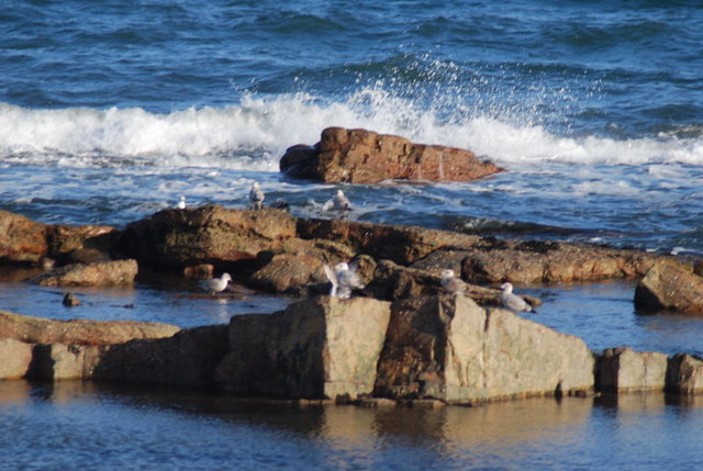
The island, composed mainly of sandstone, measures around 150 meters in length and 60 meters in width, with a maximum elevation of about 14 meters. Due to its exposed position, Cuniger Rock is subject to the powerful waves and tides of the North Sea, giving it a rugged and weathered appearance.

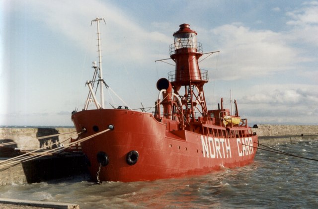
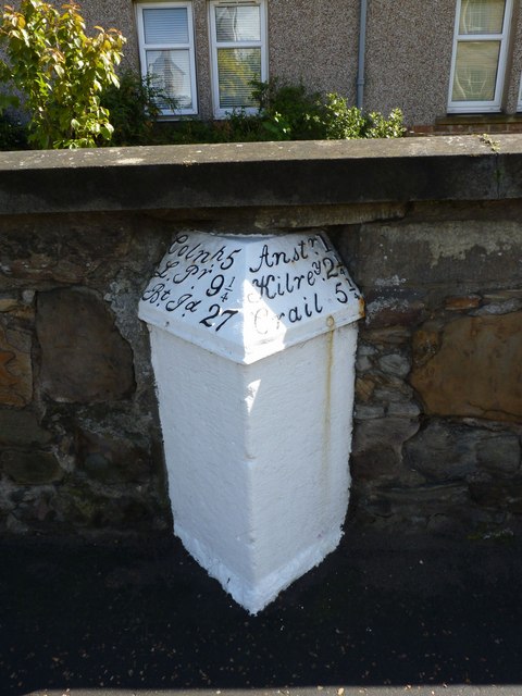
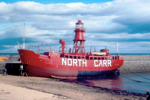
Historically, Cuniger Rock served as a navigational landmark for sailors entering the Firth of Forth, often referred to as the "Isle of May's lighthouse." Despite its relatively small size, the rock was home to a lighthouse from 1821 to 1844, guiding ships safely through the treacherous waters.

Today, Cuniger Rock remains uninhabited and inaccessible to the public. However, it continues to play a role in marine conservation efforts, providing a habitat for various seabirds, including guillemots, puffins, and gulls. The surrounding waters are also home to seals, dolphins, and a diverse range of marine life.

Cuniger Rock stands as a testament to the power of nature and the rich maritime heritage of the region. While it may be a small and remote island, its historical significance and ecological importance make it an intriguing feature of the Fife coastline.

If you have any feedback on the listing, please let us know in the comments section below.
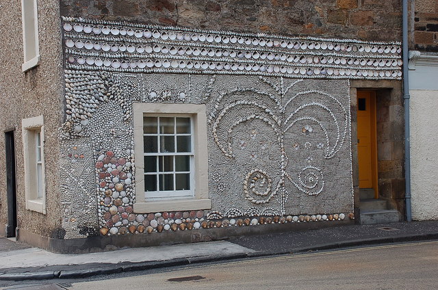
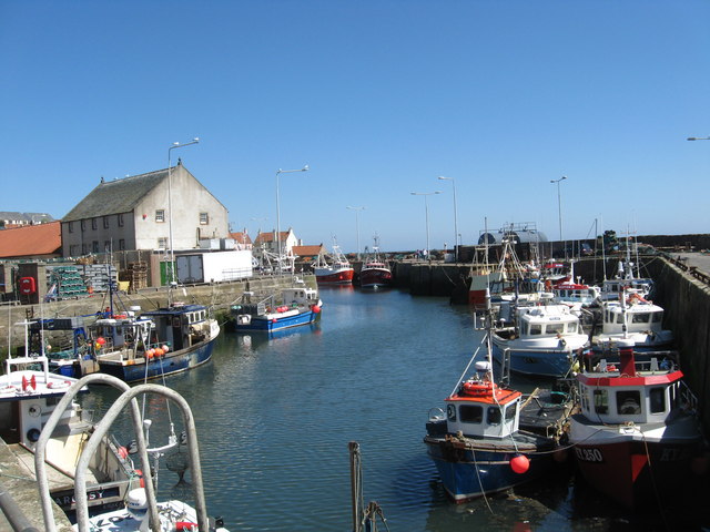
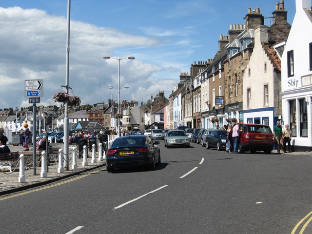
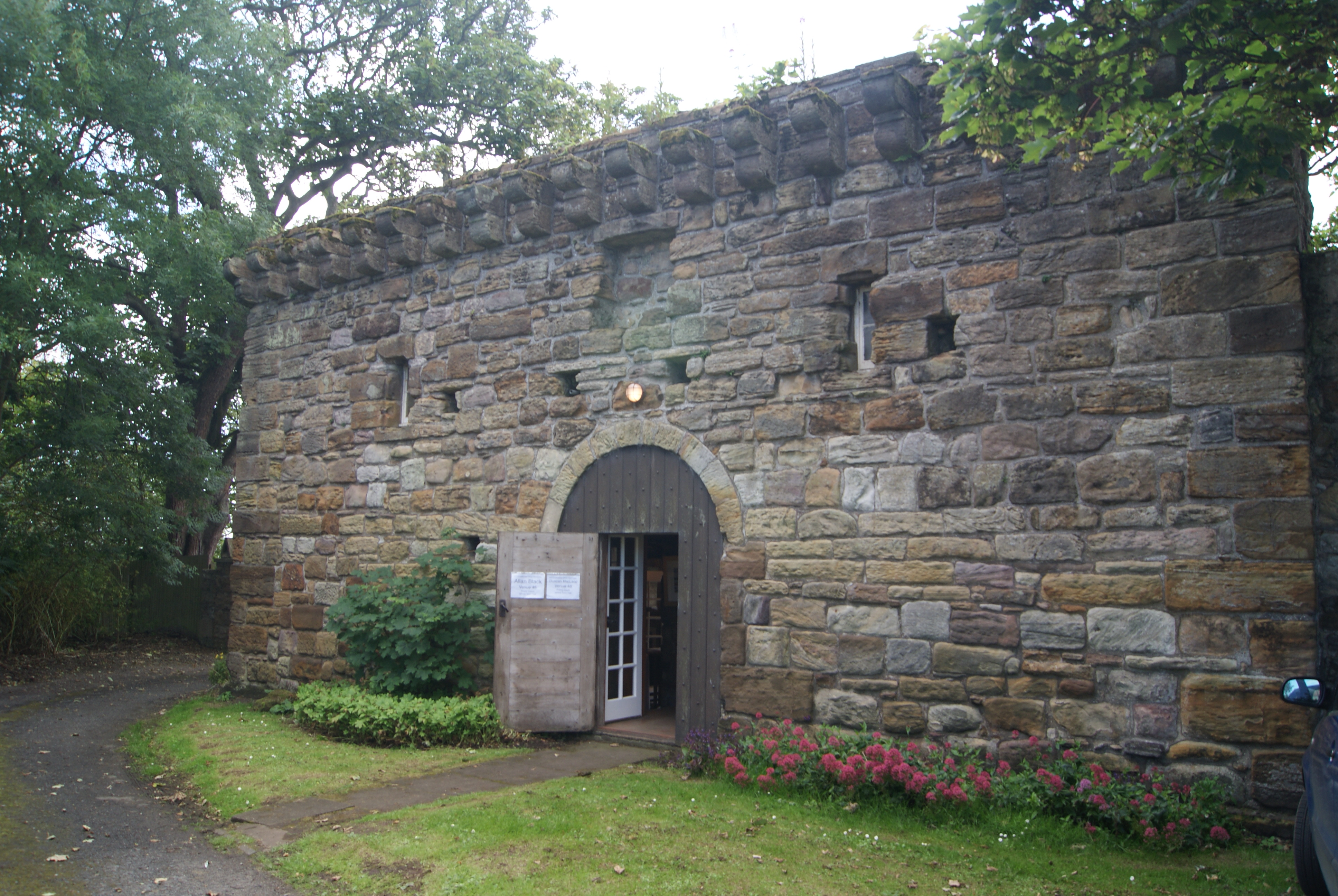
Cuniger Rock Images

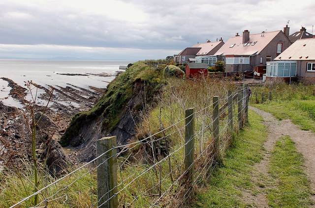
Images are sourced within 2km of 56.214679/-2.7172284 or Grid Reference NO5502. Thanks to Geograph Open Source API. All images are credited.

The North Carr Lightship in Anstruther harbour In 1989, the lightship was part of the Scottish Fisheries Museum.  She is in Dundee's Victoria Dock - see <span class="nowrap"><a title="http://www.northcarr-lightship.org/" rel="nofollow ugc noopener" href="http://www.northcarr-lightship.org/">Link</a><img style="margin-left:2px;" alt="External link" title="External link - shift click to open in new window" src="https://s1.geograph.org.uk/img/external.png" width="10" height="10"/></span>.  

On 8 December 1959, the lifeboat "Mona" was launched from Broughty Ferry to assist the North Carr Lightship which was reported adrift in St Andrews Bay.  Later that day, the Mona was found capsized on Buddon Sands. Her crew of eight were all drowned. The Lightship's crew of six were able to drop their spare anchor and were all rescued alive and well by a helicopter the next morning.
The North Carr Lightship in Anstruther harbour
In 1989, the lightship was part of the Scottish Fisheries Museum. She is in Dundee's Victoria Dock - see LinkExternal link. On 8 December 1959, the lifeboat "Mona" was launched from Broughty Ferry to assist the North Carr Lightship which was reported adrift in St Andrews Bay. Later that day, the Mona was found capsized on Buddon Sands. Her crew of eight were all drowned. The Lightship's crew of six were able to drop their spare anchor and were all rescued alive and well by a helicopter the next morning.
Anstruther Baptist Church
Heading for Madeira Neat beech hedges line the road from Inch Farm towards a property named 'Madeira'.
Heading for Madeira
Neat beech hedges line the road from Inch Farm towards a property named 'Madeira'.
Bridge near Crawhill A substantial stone bridge carrying a farm track across a wee burn.
Bridge near Crawhill
A substantial stone bridge carrying a farm track across a wee burn.
Over the Harbour Wall Looking down on the seaward side of Anstruther's harbour wall there is a rocky shore which is enjoyed by the bird life.
Over the Harbour Wall
Looking down on the seaward side of Anstruther's harbour wall there is a rocky shore which is enjoyed by the bird life.
Milestone, Pittenweem I think you have to know the area pretty well to understand this milestone!
Milestone, Pittenweem
I think you have to know the area pretty well to understand this milestone!
Pittenweem Harbour The late afternoon autumn sun catches the attractive harbour at Pittenweem, one of a series on this stretch of the Fife coast and one that still has an active fishing fleet.
Pittenweem Harbour
The late afternoon autumn sun catches the attractive harbour at Pittenweem, one of a series on this stretch of the Fife coast and one that still has an active fishing fleet.
Anstruther - 1987 North Carr Lightship moored at Anstruther harbour.
North Carr is the last remaining Scottish lightship.
Anstruther - 1987
North Carr Lightship moored at Anstruther harbour. North Carr is the last remaining Scottish lightship.
Anstruther - 1987 Anstruther, Fife, Scotland, East Shore (B9131)
Anstruther - 1987
Anstruther, Fife, Scotland, East Shore (B9131)
Anstruther - 1987 Anstruther, Fife, Scotland, East Shore (B9131)
Anstruther - 1987
Anstruther, Fife, Scotland, East Shore (B9131)
Houses by the harbour, Pittenweem Red tiled roofs and white walls make an attractive scene in this Fife coast village.
Houses by the harbour, Pittenweem
Red tiled roofs and white walls make an attractive scene in this Fife coast village.
West shore, Pittenweem The Fife Coast path takes the seafront road past the harbour on the way to Anstruther.
West shore, Pittenweem
The Fife Coast path takes the seafront road past the harbour on the way to Anstruther.
Clifftop path, Pittenweem These houses on the east side of Pittenweem are not far from the cliff edge. The path continues east to Anstruther.
Clifftop path, Pittenweem
These houses on the east side of Pittenweem are not far from the cliff edge. The path continues east to Anstruther.
Anstruther from the southwest Blue water and the red and white houses give a Mediterranean feel in this view of the town across the harbour.
Anstruther from the southwest
Blue water and the red and white houses give a Mediterranean feel in this view of the town across the harbour.
Decorated house wall, Anstruther Shells decorate the wall of this house on a corner of the main road.
Decorated house wall, Anstruther
Shells decorate the wall of this house on a corner of the main road.
High Street in Pittenweem The parish church, in the Fife fishing village, dominates the scene.
High Street in Pittenweem
The parish church, in the Fife fishing village, dominates the scene.
The inner harbour at Pittenweem One of the busiest fishing harbours in south-east Scotland.
The inner harbour at Pittenweem
One of the busiest fishing harbours in south-east Scotland.
The main street in Anstruther in Fife Overlooking the harbour.
The main street in Anstruther in Fife
Overlooking the harbour.
Show me another place!

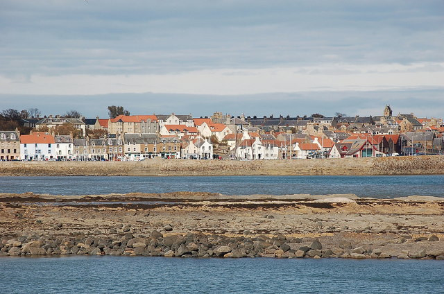
Cuniger Rock is located at Grid Ref: NO5502 (Lat: 56.214679, Lng: -2.7172284)

Unitary Authority: Fife

Police Authority: Fife

What 3 Words

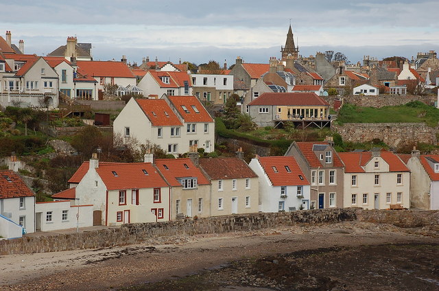
///extremely.home.excellent. Near Pittenweem, Fife

Nearby Locations

East Braes Cuniger Rock

Related Wikis

Pittenweem Priory

Pittenweem Priory was an Augustinian priory located in the village of Pittenweem, Fife, Scotland. == History == The 6th century religious recluse St Monan...

Pittenweem Parish Church and Tolbooth Steeple

Pittenweem Parish Church and Tolbooth Steeple is an ecclesiastical and municipal complex in the High Street, Pittenweem, Fife, Scotland. The structure...

Pittenweem

Pittenweem ( ) is a fishing village and civil parish in Fife, on the east coast of Scotland. At the 2001 census, it had a population of 1,747. == Etymology... ==

Kellie Lodge

Kellie Lodge is a building in Pittenweem, Fife, Scotland. Located at 23 High Street, it is Category A listed.Some of the three-storey building dates to...

Nearby Amenities

Located within 500m of 56.214679,-2.7172284
Bus Stop
Bench: no
Bin: yes
Bus: yes
Public Transport: platform
Shelter: yes
Tactile Paving: no
Lat/Long: 56.2152011/-2.7250518
Bus Stop
Pittenwee Milton Road
Bench: no
Bin: yes
Bus: yes
Lit: no
Public Transport: platform
Shelter: yes
Tactile Paving: no
Lat/Long: 56.2153273/-2.72484
Access: yes
Leisure: playground
Lat/Long: 56.213766/-2.7238157
Generator Method: photovoltaic
Generator Output Electricity: yes
Generator Source: solar
Generator Type: solar_photovoltaic_panel
Power: generator
Lat/Long: 56.2150632/-2.7216817
Generator Method: photovoltaic
Generator Output Electricity: yes
Generator Source: solar
Generator Type: solar_photovoltaic_panel
Power: generator
Lat/Long: 56.2165552/-2.7236875
Generator Method: photovoltaic
Generator Output Electricity: yes
Generator Source: solar
Generator Type: solar_photovoltaic_panel
Power: generator
Lat/Long: 56.2165844/-2.7236233
Post Box
Brand: Royal Mail
Brand Wikidata: Q638098
Brand Wikipedia: en:Royal Mail
Collection Times: Mo-Fr 09:00; Sa 07:00
Operator: Royal Mail
Operator Wikidata: Q638098
Post Box Type: wall
Ref: KY10 218D
Royal Cypher: GR
Royal Cypher Wikidata: Q33102273
Lat/Long: 56.2152734/-2.7251489
Material: wood
Power: pole
Lat/Long: 56.2181616/-2.7130598
Material: wood
Power: pole
Lat/Long: 56.2185685/-2.7137418
Bench
Backrest: yes
Material: plastic
Lat/Long: 56.2145735/-2.7210843
Waste Basket
Lat/Long: 56.2146102/-2.7211429
Bench
Backrest: yes
Material: plastic
Lat/Long: 56.2152209/-2.7176973
The data included in this document is from www.openstreetmap.org. The data is made available under ODbL.

Have you been to Cuniger Rock?

Leave your review of Cuniger Rock below (or comments, questions and feedback).