Boiling Caldron
Island in Fife
Scotland
Boiling Caldron
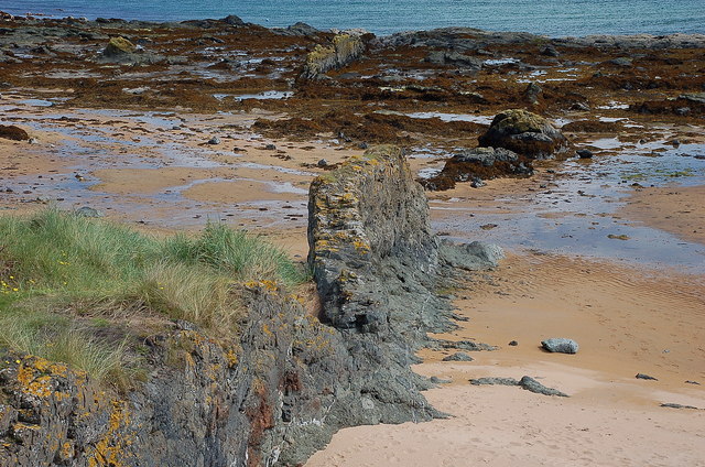
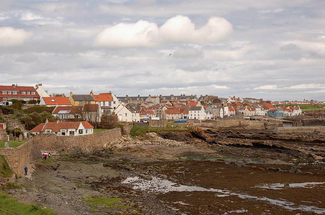
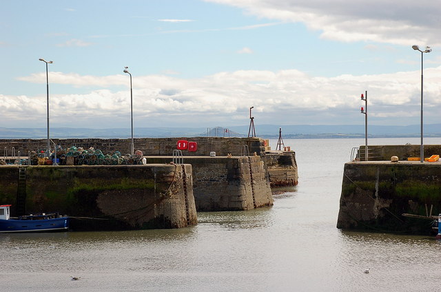
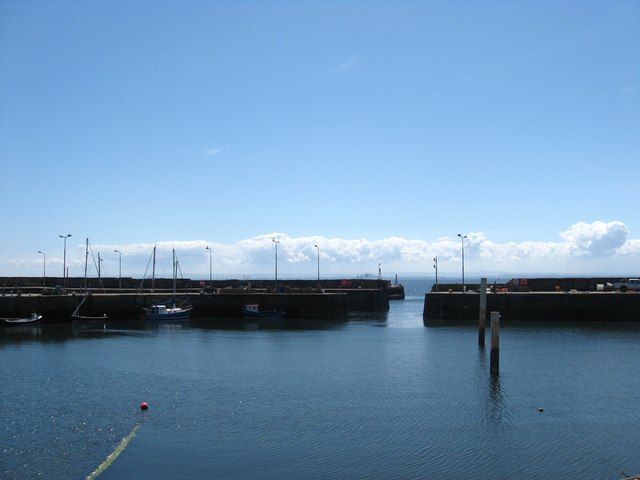
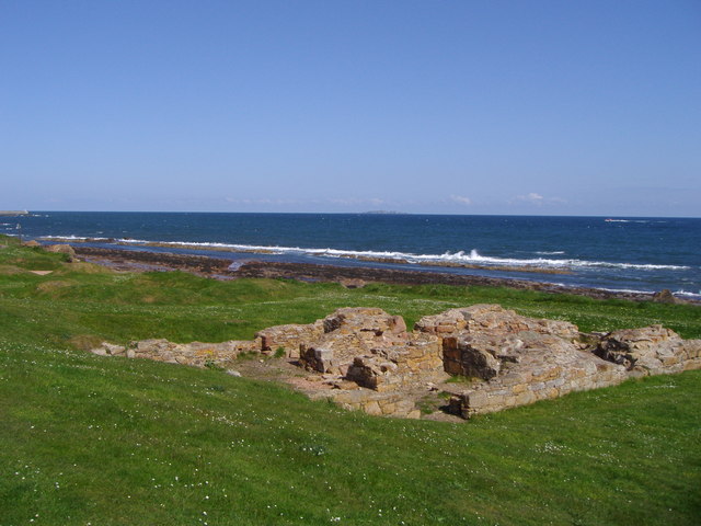
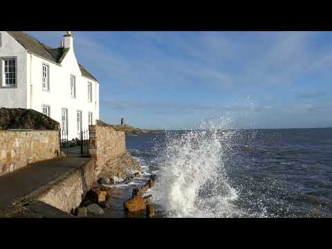
Boiling Caldron is a small island located off the coast of Fife, Scotland. It gets its name from a natural phenomenon that occurs in a specific area of the island, where a large cauldron-shaped rock formation creates a boiling effect during high tide. This unique attraction has become a popular tourist spot, drawing visitors from all over the world.
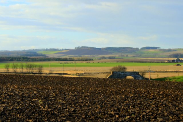
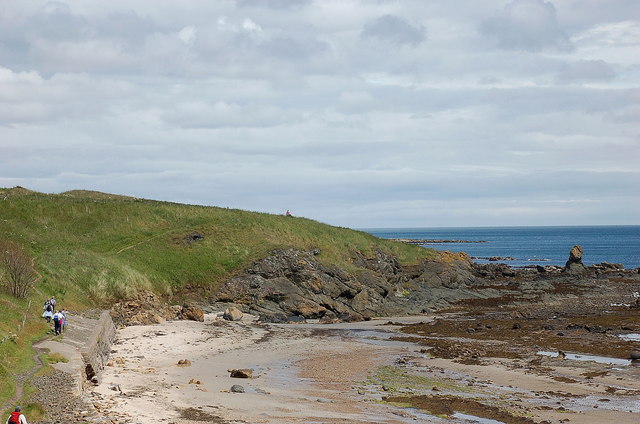
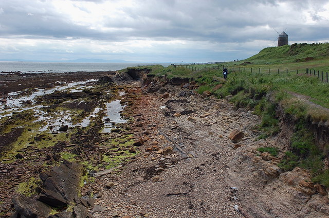
The island itself is relatively small, spanning only around 1 square kilometer in size. It is mostly covered in lush green vegetation, with some rocky cliffs along the coastline. Boiling Caldron is home to a diverse range of wildlife, including various species of birds, seals, and occasionally dolphins.
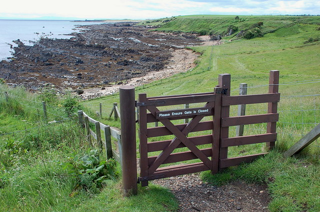
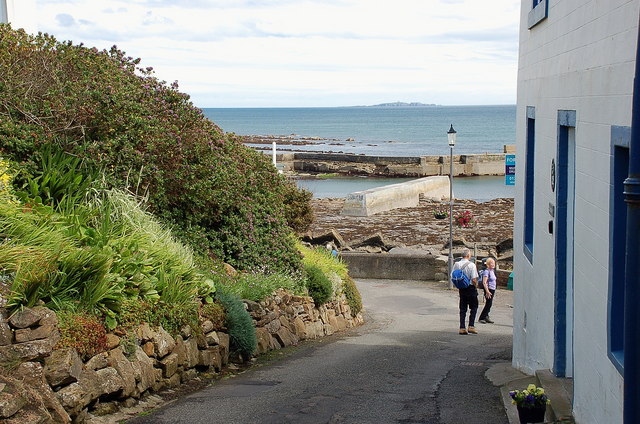
Access to the island is limited due to its small size and delicate ecosystem. Visitors can reach Boiling Caldron by boat, typically departing from nearby coastal towns. The journey offers stunning views of the surrounding coastline and the opportunity to spot marine life.
Once on the island, visitors can explore the trails that wind through the vegetation, providing opportunities for hiking and birdwatching. The highlight, of course, is witnessing the boiling cauldron phenomenon. As the tide rises, water rushes into the cauldron-shaped rock formation, creating a bubbling effect that resembles boiling water.
To preserve the island's natural beauty and protect its wildlife, visitors are encouraged to follow designated paths, avoid disturbing the wildlife, and adhere to any conservation guidelines. Boiling Caldron offers a unique and captivating experience for nature enthusiasts and those seeking a tranquil escape in the midst of Scotland's stunning coastal landscapes.
If you have any feedback on the listing, please let us know in the comments section below.
Boiling Caldron Images
Images are sourced within 2km of 56.201589/-2.7710114 or Grid Reference NO5201. Thanks to Geograph Open Source API. All images are credited.
Boiling Caldron is located at Grid Ref: NO5201 (Lat: 56.201589, Lng: -2.7710114)
Unitary Authority: Fife
Police Authority: Fife
What 3 Words
///bake.booklets.showcase. Near St Monans, Fife
Nearby Locations
Related Wikis
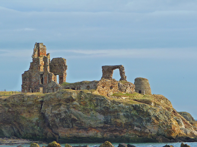
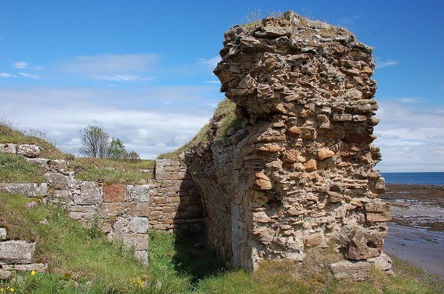
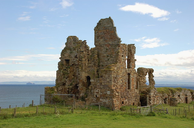
Newark Castle, Fife
Newark Castle is a ruin located just west of St Monans, on the east coast of Fife, Scotland. The building, built in the 15th century, stands in a dramatic...

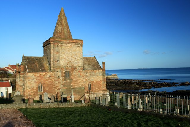
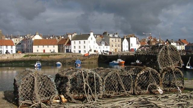
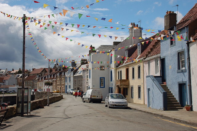
St Monans
St Monans ( , locally ), sometimes spelt St Monance, is a village and parish in the East Neuk of Fife and is named after the legendary Saint Monan. Situated...

St. Monance railway station
St. Monance railway station served the village of St Monans, Fife, Scotland from 1863 to 1965 on the Fife Coast Railway. == History == The station was...

Ardross Castle, Fife
Ardross Castle was a c.14th century castle that was located in Elie and Earlsferry, Fife, Scotland, near the sea. == History == The Dishington family built...

Abercrombie, Fife
Abercrombie (Gaelic: Obar Chrombaidh) is a village in Fife , Scotland. Abercrombie, recorded in 1157-60 as Abercrumbin, means 'mouth of the river Crombie...
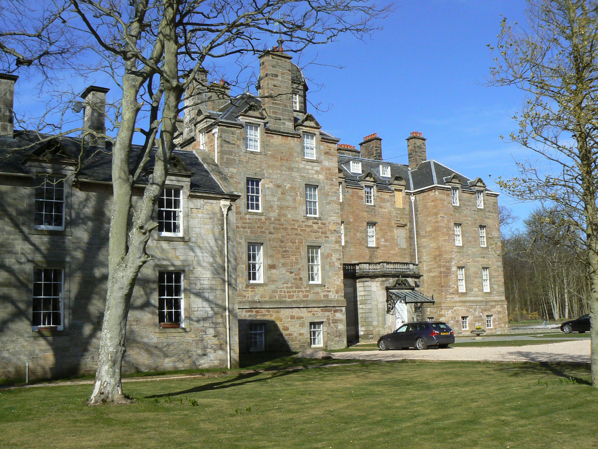
Elie House
Elie House is a country house in Elie, Fife, Scotland. It is a Category A listed building.The house, built in 1697 and incorporating an earlier structure...

Kilconquhar
Kilconquhar ( ki-NYUKH-ər or ; Scots: also Kinneuchar, from the Scottish Gaelic: Cill Dhúnchadha or Scottish Gaelic: Cill Chonchaidh, Church of (St)...

Elie railway station
Elie railway station served the town of Elie and Earlsferry, Fife, Scotland, from 1863 to 1965 on the Fife Coast Railway. == History == The station was...
Related Videos

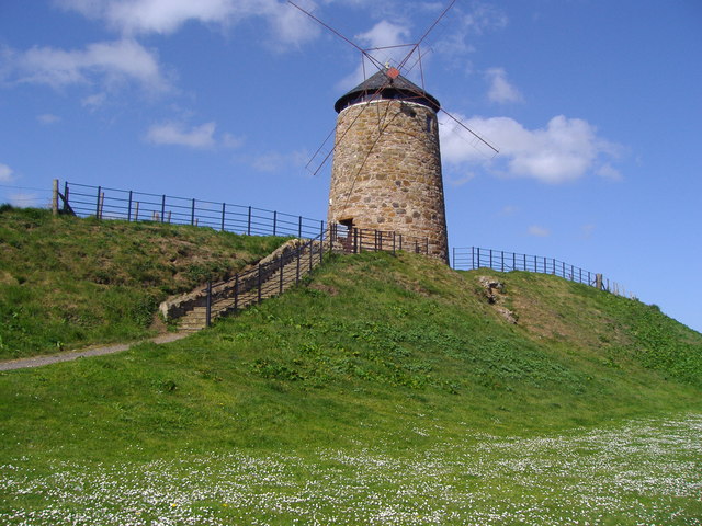
St Monans drone video, St Monans Kirk, St Monans Holiday Park, St Monans Windmill, Fife.
Robert Wilson retraces his footsteps on a visit to St Monans, 60 years after holidaying in the East Neuk of Fife village as a child.

Spring Easter Holiday Weekend On History Visit To St Monans East Neuk Of Fife Scotland
Tour Scotland 4K Spring Easter Holiday Weekend travel video video of houses and the harbour and coast on ancestry, genealogy ...
House By Coastal Walking Path On History Visit To St Monans East Neuk Of Fife Scotland
Tour Scotland 4K sunny Winter travel video of a house by the coastal walking path on ancestry, genealogy, family history visit to St ...
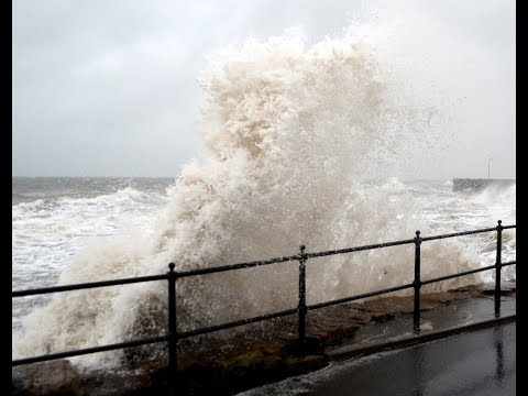
Winter Waves By Coastal Walking Path On Visit To St Monans East Neuk Of Fife Scotland
Tour Scotland Winter travel video of waves by the coastal walking path on visit to St Monans, East Neuk Of Fife. Located just over ...
Nearby Amenities
Located within 500m of 56.201589,-2.7710114Have you been to Boiling Caldron?
Leave your review of Boiling Caldron below (or comments, questions and feedback).