The Shoals
Island in Caithness
Scotland
The Shoals

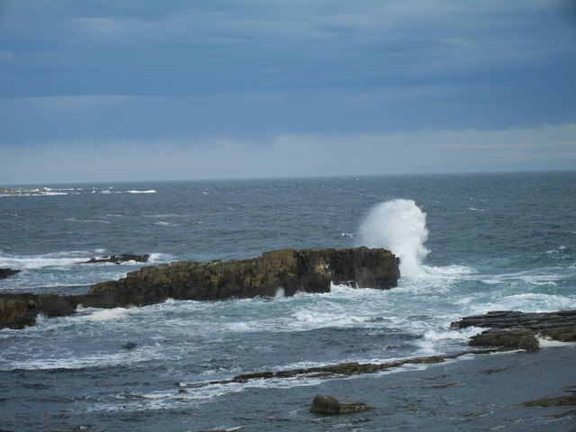
The Shoals is a small island located off the coast of Caithness in the northern part of Scotland. It is situated in the North Sea, approximately three miles northeast of the mainland. The island is part of the Pentland Firth, which is known for its strong tidal currents and treacherous waters.
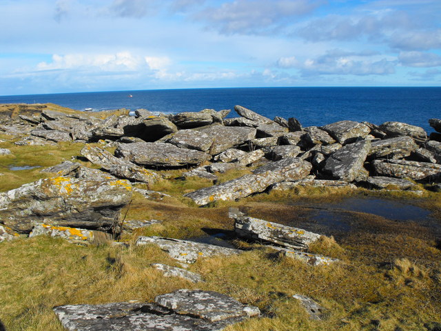
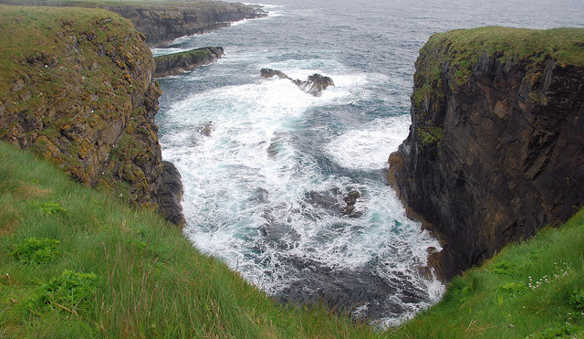
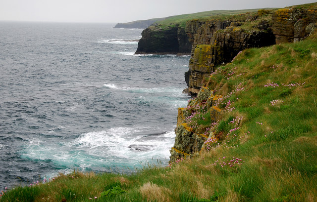
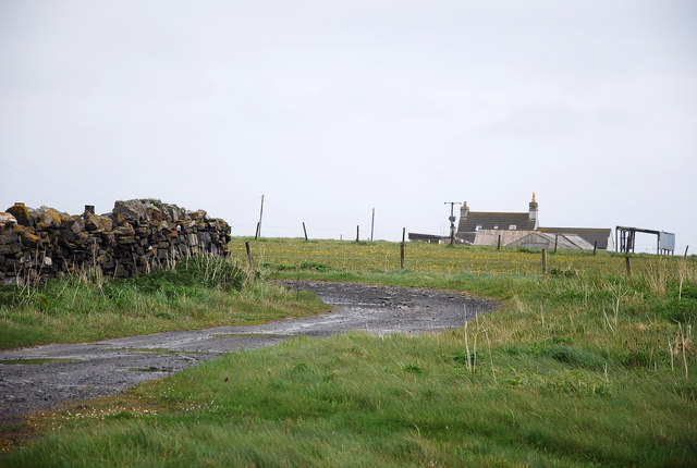
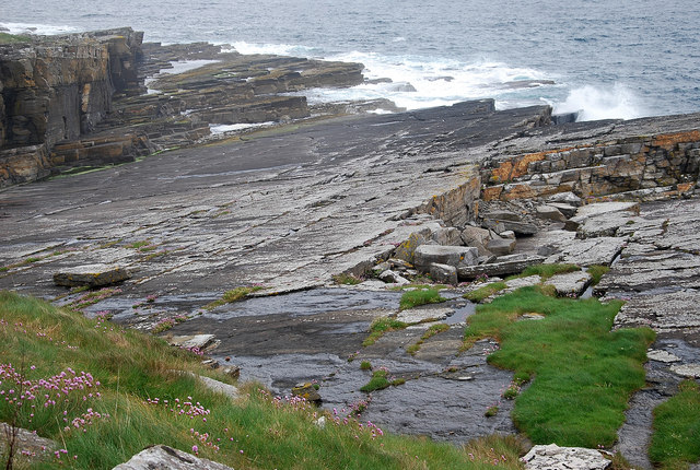
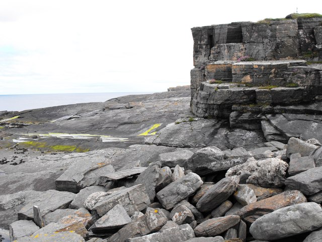
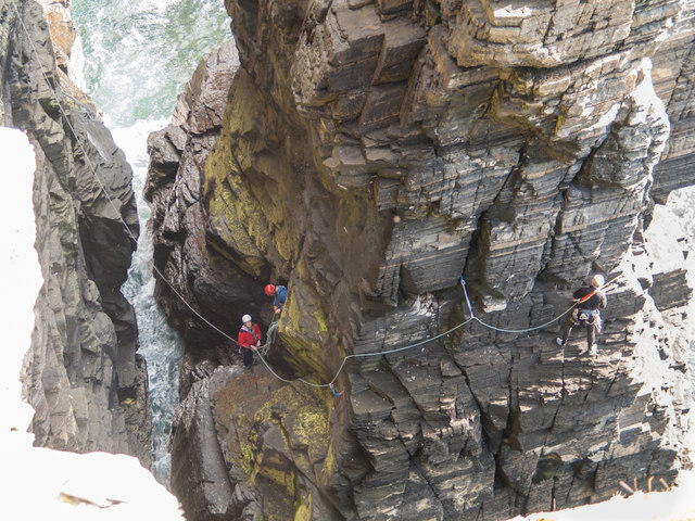
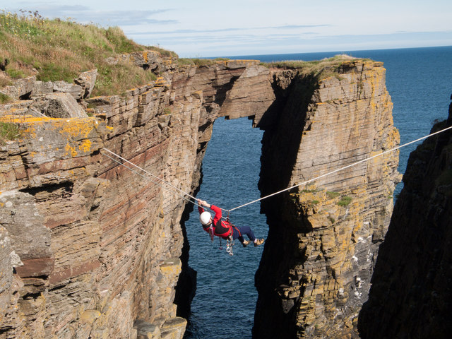
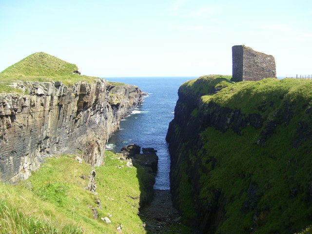
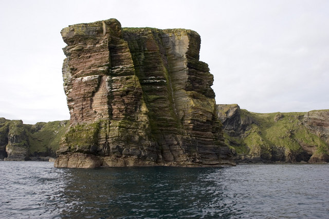
The Shoals is a rocky and barren island, with no permanent human population. It is primarily composed of sandstone and shale, with a rugged coastline characterized by towering cliffs and hidden caves. The island is uninhabited due to its remote location and challenging maritime conditions, making it inaccessible and inhospitable for human settlement.
However, The Shoals serves as an important breeding ground for a variety of seabirds, including puffins, guillemots, and razorbills. The surrounding waters are rich in marine life, attracting seals, dolphins, and occasional sightings of whales.
The island's isolation and natural beauty make it a popular destination for bird enthusiasts and wildlife photographers. Access to The Shoals is limited to boat trips, with visitors advised to exercise caution due to the turbulent waters and unpredictable weather conditions.
Despite its small size and lack of human presence, The Shoals stands as a testament to the raw power of nature, offering a glimpse into the untamed beauty of the Scottish coastline.
If you have any feedback on the listing, please let us know in the comments section below.
The Shoals Images
Images are sourced within 2km of 58.424135/-3.0786812 or Grid Reference ND3748. Thanks to Geograph Open Source API. All images are credited.


The Shoals is located at Grid Ref: ND3748 (Lat: 58.424135, Lng: -3.0786812)
Unitary Authority: Highland
Police Authority: Highlands and Islands
What 3 Words
///mime.backswing.decisive. Near Wick, Highland
Nearby Locations
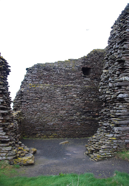
Related Wikis
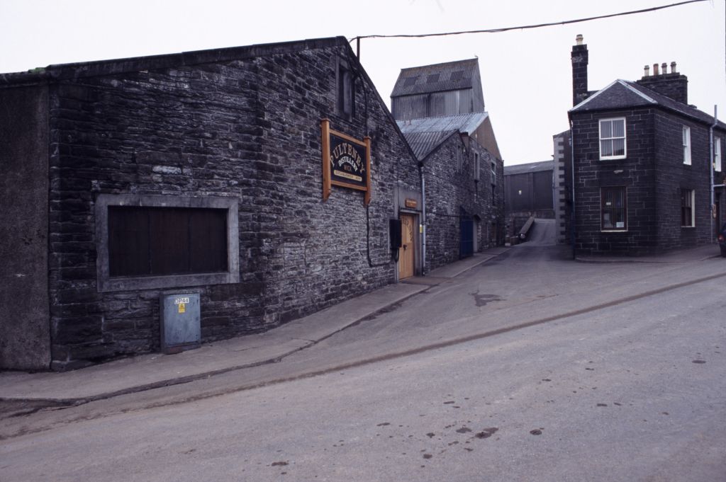
Old Pulteney distillery
Old Pulteney distillery is a malt whisky production and aging facility in the Pulteneytown area of Wick, Caithness, in the Highland area of Scotland. The...
Whiterow
Whiterow is a small coastal hamlet, on the east coast of Caithness, lying 1 mile southeast of Wick, Scottish Highlands. It is in the Scottish council area...

Harmsworth Park
Harmsworth Park is a football ground in Wick in the Scottish Highlands of Scotland, which is the home ground of Highland Football League side Wick Academy...

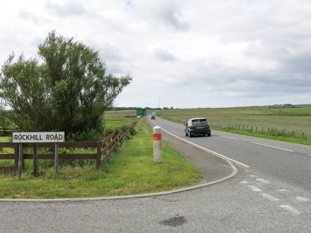
A99 road
The A99 road is entirely within the former county of Caithness in the Highland of Scotland. It runs generally north/northeast from the A9 at Latheron to...

Wick Town and County Hospital
Wick Town and County Hospital is a health facility in Seaforth Avenue, Wick, Scotland. It is managed by NHS Highland. == History == The facility, which...
Pulteneytown Parish Church
Pulteneytown Parish Church is located in Argyle Square, Pulteneytown, Wick, Caithness, Scotland. It is a congregation in the Church of Scotland. The church...

Pulteneytown Central Church
Pulteneytown Central Church was founded in 1806 in the Pulteneytown area of Wick in Caithness in the far north of Scotland. As years went by, it was renamed...
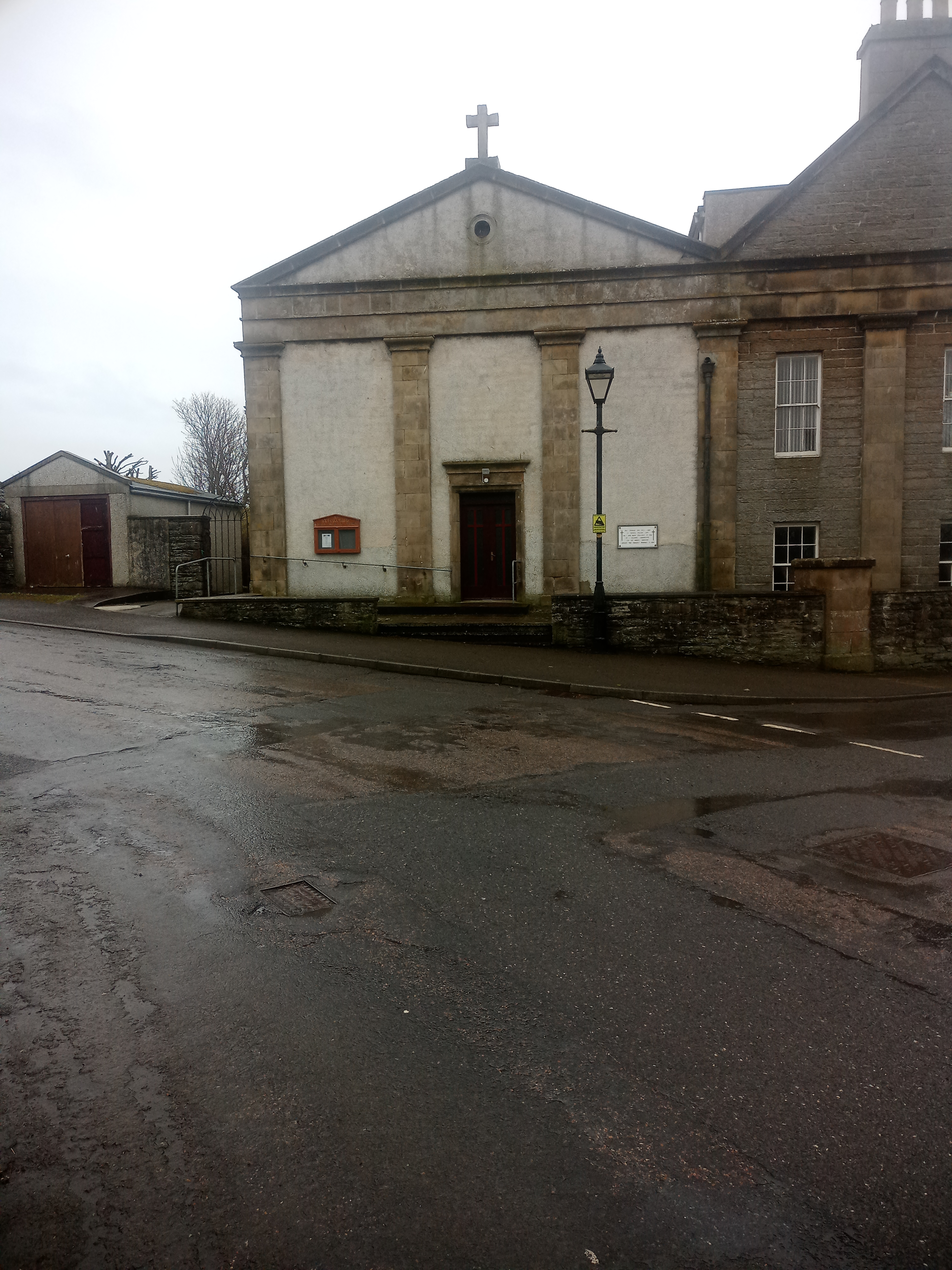
St Joachim's Church, Wick
St Joachim's Church is a Category B listed Roman Catholic church in Wick, Scotland. == History == There was no significant Catholic congregation in Wick...
Nearby Amenities
Located within 500m of 58.424135,-3.0786812Have you been to The Shoals?
Leave your review of The Shoals below (or comments, questions and feedback).