Abden Rocks
Island in Fife
Scotland
Abden Rocks
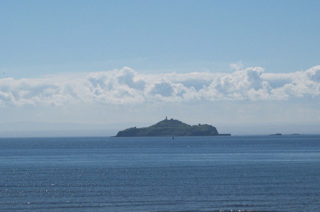
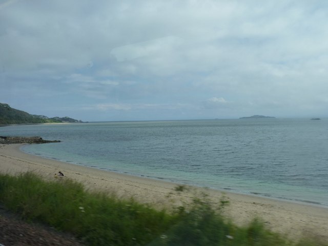
Abden Rocks is a small island located off the coast of Fife, Scotland. It is situated approximately 5 kilometers northeast of the town of Anstruther. The island is part of the Firth of Forth and lies within the boundaries of the Firth of Forth Special Protection Area due to its significant bird population.
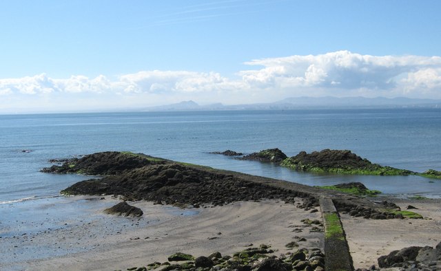
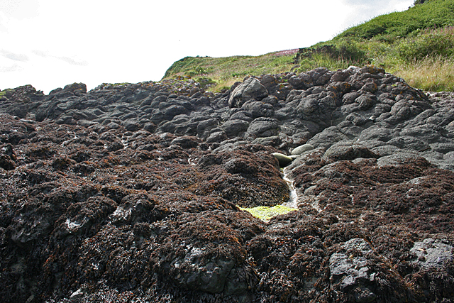
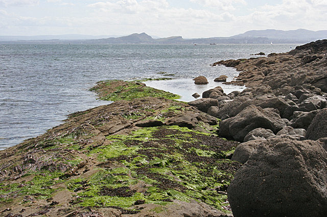
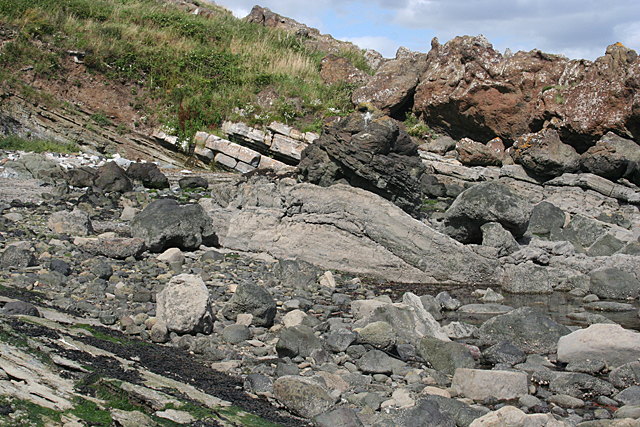
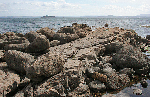
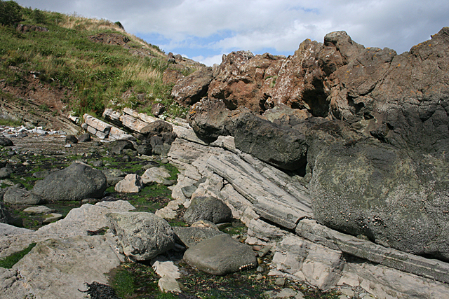
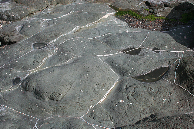
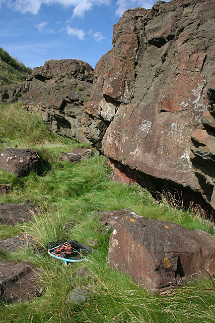
Abden Rocks measures about 500 meters in length and has a maximum width of around 300 meters. The island is composed mainly of rugged cliffs, with the highest point reaching about 20 meters above sea level. The cliffs provide nesting sites for a variety of seabirds, including gulls, puffins, razorbills, and guillemots.
Access to Abden Rocks is restricted due to its status as a protected area. It is primarily visited by researchers and wildlife enthusiasts who are interested in studying or observing the rich avian life found on the island. Due to its remote location and lack of human habitation, Abden Rocks offer a tranquil and undisturbed environment for the birds.
The island's isolation and rocky terrain make it unsuitable for any kind of permanent human settlement. However, it is often used as a navigational landmark for sailors and fishermen in the area. The surrounding waters are known for their diverse marine life, attracting divers who are interested in exploring the underwater ecosystem.
In conclusion, Abden Rocks is a small, uninhabited island off the coast of Fife, Scotland. It serves as an important nesting site for various seabird species and is protected under the Firth of Forth Special Protection Area. Access to the island is restricted, but it remains a significant destination for researchers and wildlife enthusiasts interested in studying the diverse avian population.
If you have any feedback on the listing, please let us know in the comments section below.
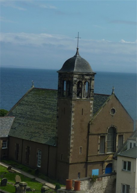
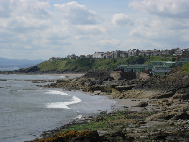
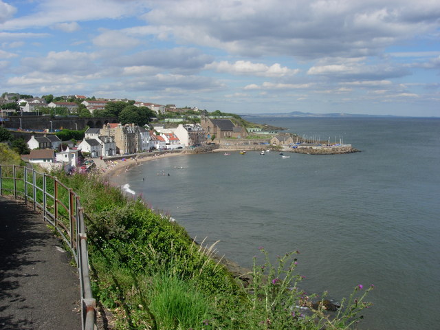
Abden Rocks Images
Images are sourced within 2km of 56.070074/-3.1693413 or Grid Reference NT2786. Thanks to Geograph Open Source API. All images are credited.
Abden Rocks is located at Grid Ref: NT2786 (Lat: 56.070074, Lng: -3.1693413)
Unitary Authority: Fife
Police Authority: Fife
What 3 Words
///poses.action.stung. Near Kinghorn, Fife
Nearby Locations
Related Wikis

Kinghorn
Kinghorn ( ; Scottish Gaelic: Ceann Gronna) is a town and parish in Fife, Scotland. A seaside resort with two beaches, Kinghorn Beach and Pettycur Bay...
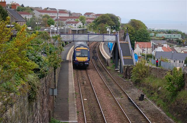
Kinghorn railway station
Kinghorn railway station is a railway station in the town of Kinghorn, Fife, Scotland. The station is managed by ScotRail and is on the Fife Circle Line...

Kinghorn Lifeboat Station
Kinghorn Lifeboat Station is a RNLI station located in the town of Kinghorn in Fife, Scotland. The station is currently equipped with an Atlantic 85 inshore...

Newburgh Town House
Newburgh Town House is a municipal building in the High Street in Newburgh, Fife, Scotland. The structure, which is used as a series of artists' studios...

Kinghorn Town Hall
Kinghorn Town Hall is a municipal building in St Leonard's Place, Kinghorn, Fife, Scotland. The structure, which is used as holiday accommodation for tourists...
Seafield Colliery
Seafield Colliery was in Kirkcaldy, Fife, Scotland. Work on the colliery was started on 12 May 1954 and production began in 1966. On 10 May 1973, five...

Binnend
Binnend, also known as Binnend Village and The Binn, is an abandoned industrial village located two miles north of Burntisland in Fife. It was established...

Stark's Park
Stark's Park is a football stadium in Kirkcaldy, Scotland. It is the home ground of Raith Rovers, who have played there since 1891. The ground has an all...
Related Videos
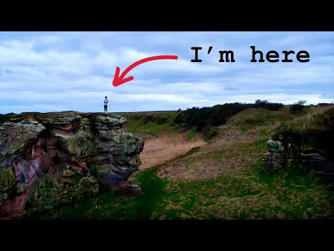
Solo hiking in St. Andrews
Went on a hike along the coast of Fife. What I found was unreal... music: ELo-Fi Fashion Chill Hip Hop | Vlog by Alex-Productions ...
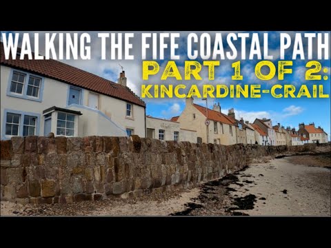
Scotland's Other Long Distance Trail - The 116 Mile Fife Coastal Path. Part 1: Kincardine to Crail.
This one's been on the list for a while, but we've never had the time. To be honest, we still didn't, but gave it a go anyway.

Will we make it to the end? Welcome to Part 2 of our Fife Coastal Path adventure: Crail - Newburgh??
Welcome to the 2nd half of our epic Fife Coastal Path adventure. This covers days 4-6 of our attempt at this 116 mile trail. Energy ...
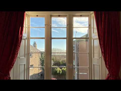
Kinghorn Town Hall, self-catering holiday accommodation in Fife
A selection of photographs and videos of Kinghorn Town Hall, one of our restoration projects. For full information on the project ...
Nearby Amenities
Located within 500m of 56.070074,-3.1693413Have you been to Abden Rocks?
Leave your review of Abden Rocks below (or comments, questions and feedback).