Skerry Eel
Island in Caithness
Scotland
Skerry Eel
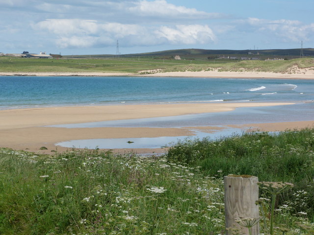
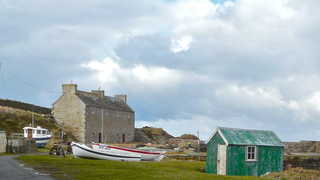
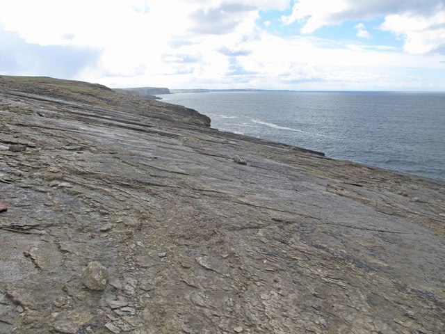
Skerry Eel, Caithness, is an uninhabited island located off the northeast coast of Scotland. The island is part of the Pentland Firth, which separates the mainland from the Orkney Islands. Skerry Eel is a small and rocky island, with its highest point reaching just 33 feet above sea level.
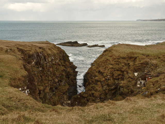
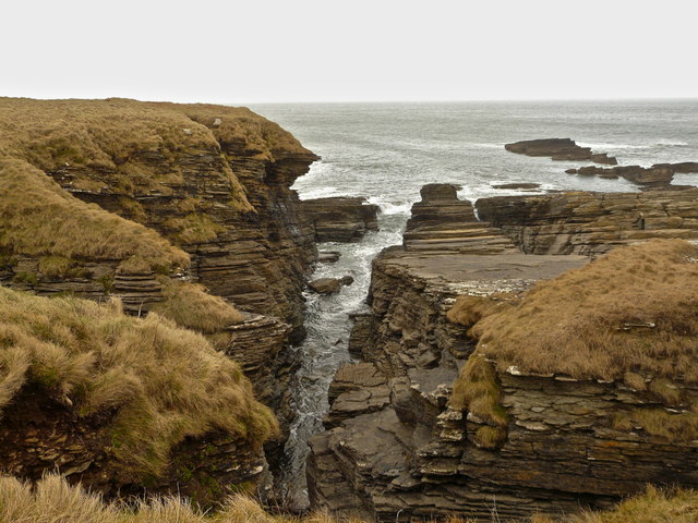
Covered in lush vegetation, the island is home to a variety of seabirds and marine life. The surrounding waters are teeming with fish, making it a popular spot for anglers. The island is also known for its stunning cliffs and sea stacks, providing breathtaking views for visitors.
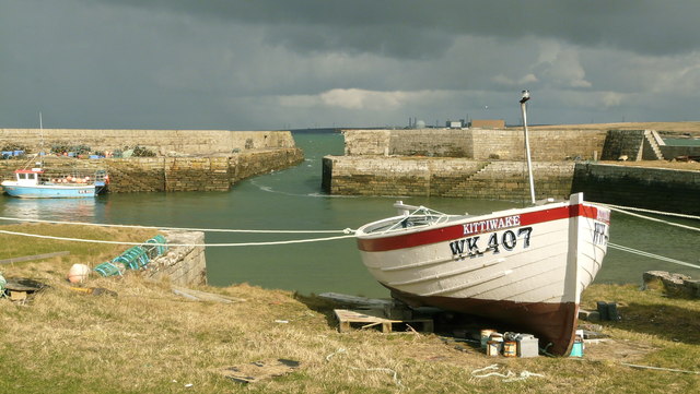
Access to Skerry Eel is limited, and it is not easily accessible by boat due to the challenging sea conditions in the Pentland Firth. However, for those brave enough to venture to the island, it offers a unique and remote experience.
Skerry Eel has a rich history, with evidence of human activity dating back thousands of years. Archaeological remains, including stone structures and burial mounds, suggest that the island was once inhabited. Today, these remnants serve as a reminder of the island's past.
Due to its natural beauty and historical significance, Skerry Eel is protected as a nature reserve. It is a designated Site of Special Scientific Interest (SSSI) for its unique flora and fauna, as well as its geological features. The island provides an important habitat for breeding seabirds and is monitored by conservation organizations.
Overall, Skerry Eel, Caithness, is a remote and rugged island that offers visitors a glimpse into Scotland's natural and historical heritage.
If you have any feedback on the listing, please let us know in the comments section below.
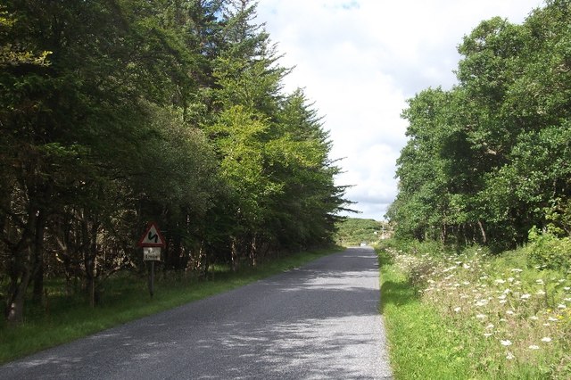
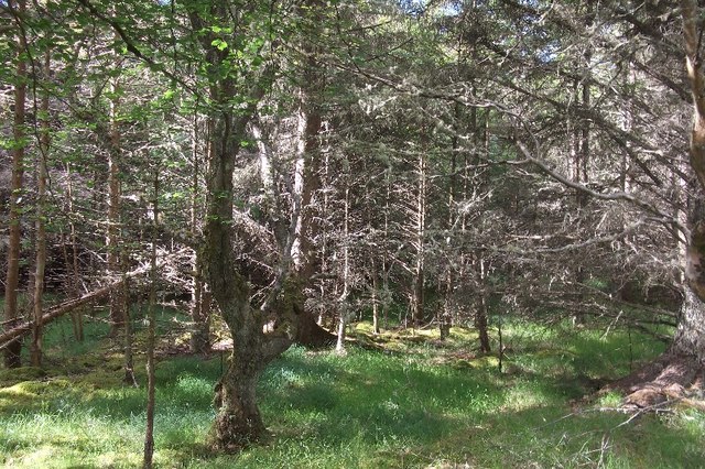
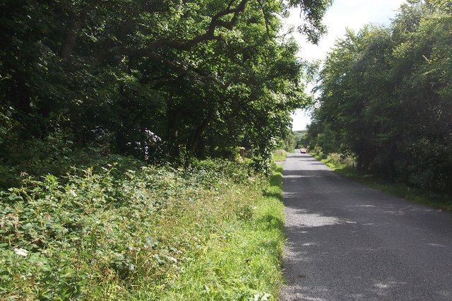
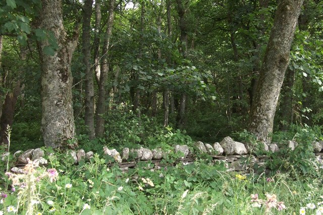
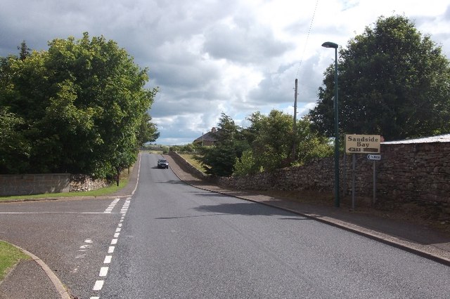
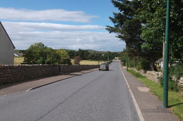
Skerry Eel Images
Images are sourced within 2km of 58.570895/-3.8093619 or Grid Reference NC9466. Thanks to Geograph Open Source API. All images are credited.
Skerry Eel is located at Grid Ref: NC9466 (Lat: 58.570895, Lng: -3.8093619)
Unitary Authority: Highland
Police Authority: Highlands and Islands
What 3 Words
///pinches.carver.mentioned. Near Reay, Highland
Nearby Locations
Related Wikis

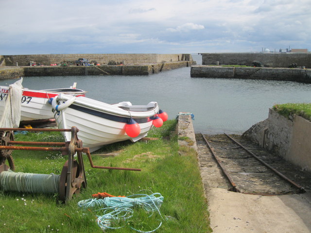
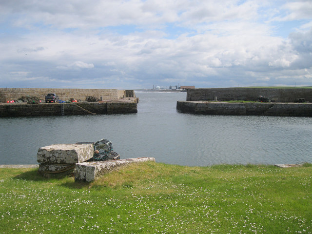
Fresgoe
Fresgoe is the main harbour for the village of Reay, overlooking Sandside Bay in Caithness in the Scottish highlands. It was built in the early 1830s,...

Sandside Chase
The Sandside Chase (The Chase of Sandside, The Chase of Sansett; in Gaelic, Ruoig-Hansett, Ruaig Handside or Ruaig-Shansaid) was a Scottish clan battle...

Reay
Reay (Scottish Gaelic: Ràth) is a village which has grown around Sandside Bay on the north coast of the Highland council area of Scotland. It is within...

Reay Parish Church
Reay Parish Church is a Church of Scotland parish church serving Reay, Caithness. It is one of the most northerly communities on the Scottish mainland...
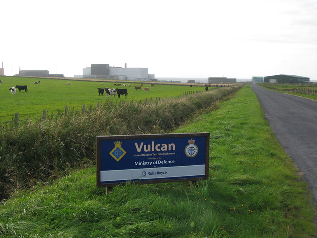
Vulcan Naval Reactor Test Establishment
Vulcan Naval Reactor Test Establishment (NRTE), formerly HMS Vulcan, is a UK Ministry of Defence (MoD) establishment in Scotland, operated by Rolls-Royce...

Dounreay Castle
Dounreay Castle is a ruined 16th-century L-plan castle, about 8 miles (13 km) west of Thurso, Highland (council area), Scotland, within the grounds of...

Dounreay
Dounreay (; Scottish Gaelic: Dùnrath) is a small settlement and the site of two large nuclear establishments on the north coast of Caithness in the Highland...

Achvarasdal
Achvarasdal (from the Norse placename meaning "Barr's valley", with the later, post 13th century addition of the Gaelic Ach-/Achadh- meaning "field") is...
Related Videos

WELCOME TO SANDSIDE REAY -BEAUTIFUL DAY -VLOG
I went to SandSide Reay Caithness Highlands It was a very lovely place to visit we both enjoyed it very much we then went ...
Nearby Amenities
Located within 500m of 58.570895,-3.8093619Have you been to Skerry Eel?
Leave your review of Skerry Eel below (or comments, questions and feedback).