A' chlèit

Island in Sutherland

Scotland

A' chlèit

Just North of Rubha Ruadh It would have been a bit of a walk here in ordinary conditions, but thankfully it was dry underfoot.
Just North of Rubha Ruadh Credit: Kevin Philpott

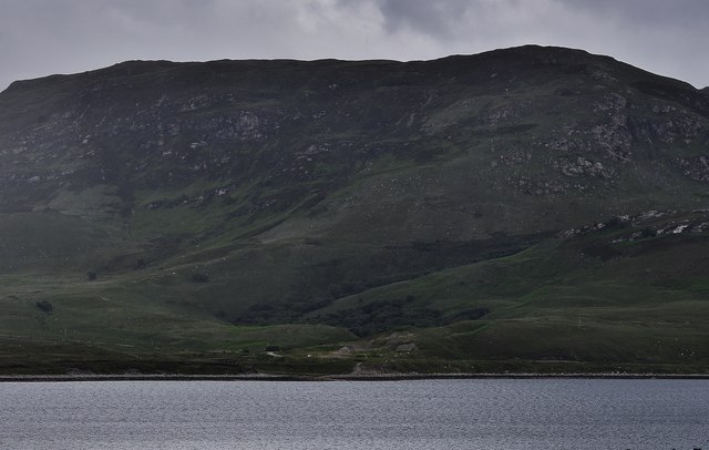
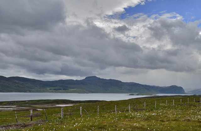
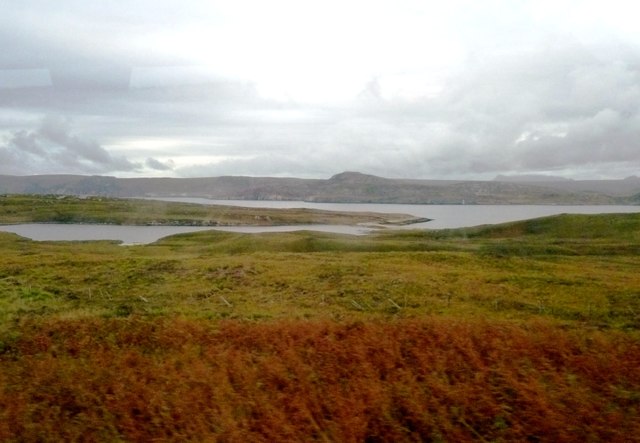
A' chlèit, also known as Island, is a small settlement located in the county of Sutherland, in the northernmost part of Scotland. Situated in the region known as the Highlands, A' chlèit is nestled on the picturesque northwestern coast of the country. The village is renowned for its stunning natural beauty and tranquility, making it a popular destination for nature lovers and those seeking a peaceful retreat.

The settlement of A' chlèit is home to a small population, with a close-knit community that cherishes its traditional way of life. The village boasts a charming blend of traditional Scottish architecture and modern amenities, ensuring that residents and visitors alike can enjoy comfortable living conditions.

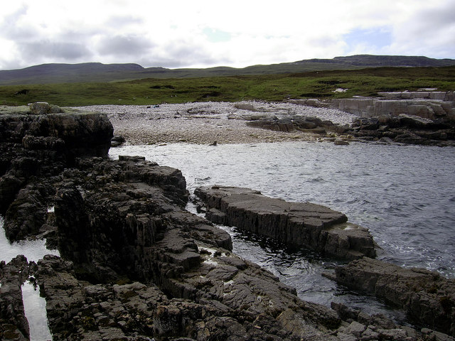
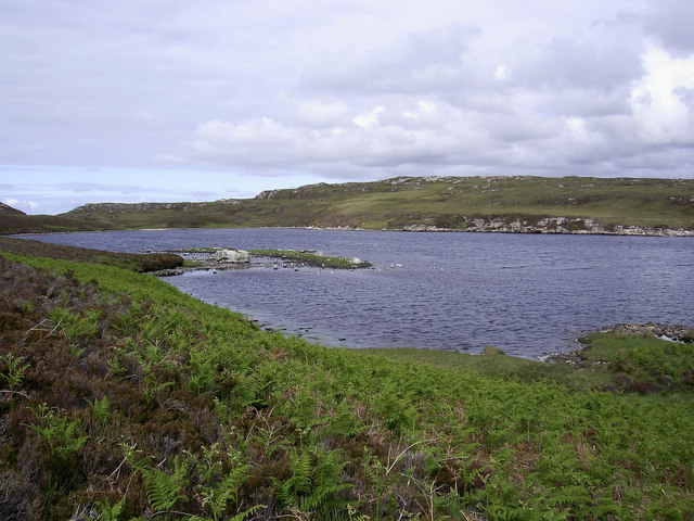
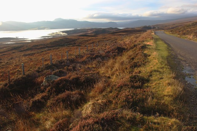
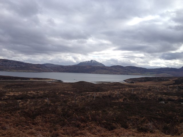
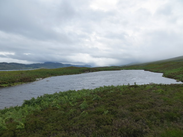
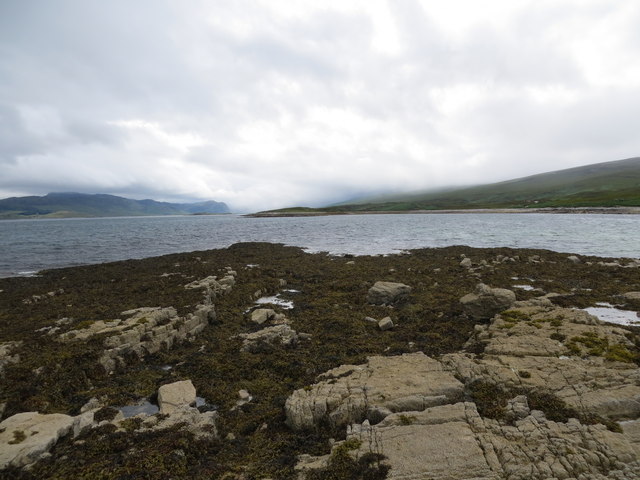
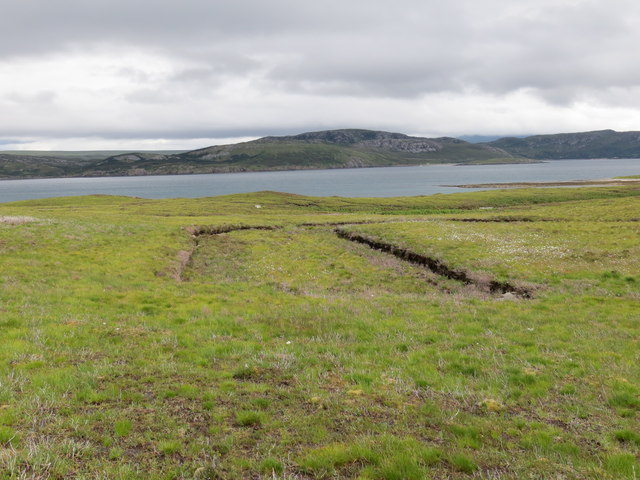
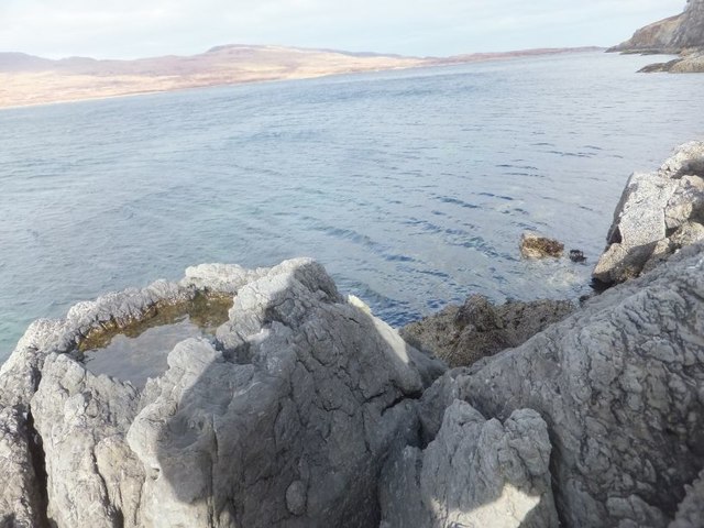
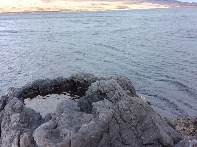
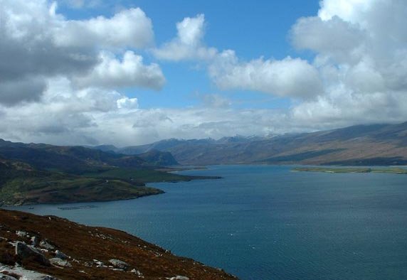
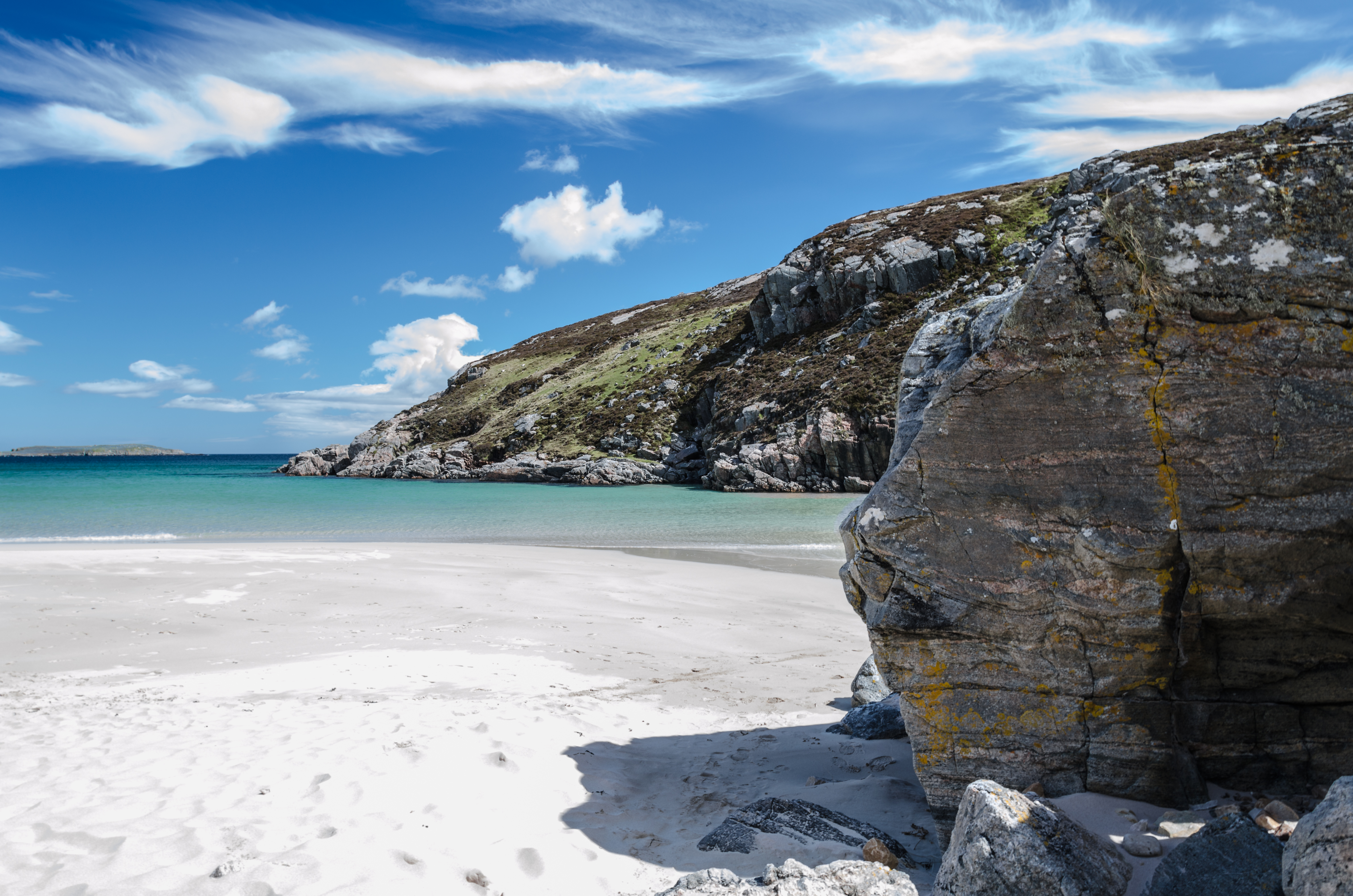
The surrounding area of A' chlèit is characterized by its rugged coastline, with majestic cliffs and pristine sandy beaches that stretch for miles. The village offers breathtaking views of the Atlantic Ocean, making it a paradise for photographers and artists seeking inspiration from nature.

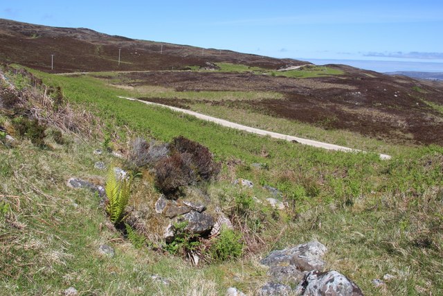
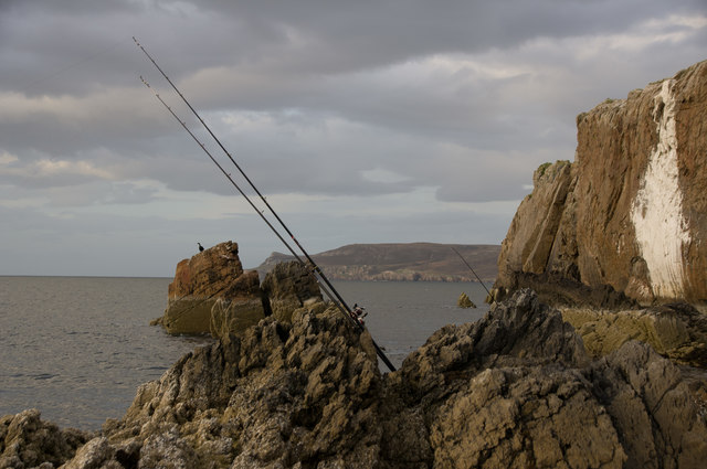
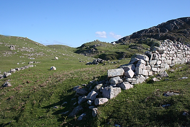
In addition to its natural beauty, A' chlèit offers various outdoor activities for visitors to enjoy. The area is perfect for hiking enthusiasts, with numerous trails that wind through the scenic countryside and provide opportunities to spot local wildlife. Fishing is also a popular pastime, with the village's proximity to the sea offering excellent opportunities to catch a variety of fish.

For those seeking a peaceful escape from the hustle and bustle of city life, A' chlèit offers a serene and idyllic setting. With its breathtaking landscapes, friendly community, and a range of outdoor activities, this small settlement in Sutherland is a hidden gem in the Scottish Highlands.

If you have any feedback on the listing, please let us know in the comments section below.

A' chlèit Images

Images are sourced within 2km of 58.5185/-4.6746843 or Grid Reference NC4462. Thanks to Geograph Open Source API. All images are credited.

Just North of Rubha Ruadh It would have been a bit of a walk here in ordinary conditions, but thankfully it was dry underfoot.
Just North of Rubha Ruadh
It would have been a bit of a walk here in ordinary conditions, but thankfully it was dry underfoot.
View up the Loch Looking up Loch Eriboll from the headland above Rubha Ruadh. The fine views were given added value by the grievous weather being visited on more southerly parts at the time!
View up the Loch
Looking up Loch Eriboll from the headland above Rubha Ruadh. The fine views were given added value by the grievous weather being visited on more southerly parts at the time!
An Island in Loch Shian So insignificant that not even the Explorer map names it.
An Island in Loch Shian
So insignificant that not even the Explorer map names it.
The road down to Port Chamuill cuts through emerging bracken
Loch Ach' an Lochaidh
A838 above Loch Eriboll
View from A838
View from A838
Lochan Clachaidh above Loch Eriboll
Southern end of the tidal island of A' chlèit in Loch Eriboll
Area of old peat cuttings on the moor above Loch Eriboll
Loch Eriboll
Loch Eriboll
Loch Eriboll and Eilean Choraidh
Wreck of the trawler "Sark" The steam trawler Sark fouled her propeller with her own nets and was eventually blown ashore in Loch Eriboll. Two of the crew were drowned. The wrecking occurred in 1920 but much ironwork and two boilers remain, with a winch near the bow visible on the shoreline.
Wreck of the trawler "Sark"
The steam trawler Sark fouled her propeller with her own nets and was eventually blown ashore in Loch Eriboll. Two of the crew were drowned. The wrecking occurred in 1920 but much ironwork and two boilers remain, with a winch near the bow visible on the shoreline.
Seashore at Loch Eriboll Lighthouse The seashore just in front of the minor light on Loch Eriboll. The large white streak to the right is immediately below the lighthouse itself, and is carbide residue from an older light which was simply tipped over the side of the cliff. Intentionally or not, this white line on the rocks is visible from many miles away.
Seashore at Loch Eriboll Lighthouse
The seashore just in front of the minor light on Loch Eriboll. The large white streak to the right is immediately below the lighthouse itself, and is carbide residue from an older light which was simply tipped over the side of the cliff. Intentionally or not, this white line on the rocks is visible from many miles away.
Loch Slan Loch Slan is the smaller loch to left, connected to the much larger Loch Eriboll. Vieweed from the A838.
Loch Slan
Loch Slan is the smaller loch to left, connected to the much larger Loch Eriboll. Vieweed from the A838.
Rock pool near Geodh' an Sgadain View across Loch Eriboll from the East side. This was about the only dry land we could find on this square.
Rock pool near Geodh' an Sgadain
View across Loch Eriboll from the East side. This was about the only dry land we could find on this square.
Rock pool near Geodh' an Sgadain View across Loch Eriboll from the East side. This was about the only dry land we could find in this grid square
Rock pool near Geodh' an Sgadain
View across Loch Eriboll from the East side. This was about the only dry land we could find in this grid square
Loch na Cathrach Duibhe and Loch Eriboll From the top of an escarpment west of Ben Heilam.
Loch na Cathrach Duibhe and Loch Eriboll
From the top of an escarpment west of Ben Heilam.
Show me another place!

A' chlèit is located at Grid Ref: NC4462 (Lat: 58.5185, Lng: -4.6746843)

Unitary Authority: Highland

Police Authority: Highlands and Islands

What 3 Words

///bonfires.coats.kindest. Near Oldshoremore, Highland

Nearby Locations

A' chlèit Bàgh Loch Sian

Related Wikis

Loch Eriboll

Loch Eriboll (Scottish Gaelic: "Loch Euraboil") is a 16 km (9.9 mi) long sea loch on the north coast of Scotland, which has been used for centuries as...

Portnancon

Portnacon is a small remote crofting township, and former fishing station, on the west shore of Loch Eriboll in Sutherland, Scottish Highlands in the...

Ceannabeinne

Ceannabeinne (gaelic for the end of the mountains) is a ruined village within the parish of Durness, in the county of Sutherland, in the far north of the...

Leirinmore

Leirinmore (Scottish Gaelic: An Leithrinn Mhòr) is a crofting township in the parish of Durness on the northern coastline of Scotland, in Sutherland, Scottish...

Related Videos

#allah #muslim #quran #islamicquotes #muslimah #scotland #nature #visitscotland #highlands #travel

Loch Eriboll, Highland-Scotland & There is one lime kilns, which is called Ard Neakie Lime Kilns, and it was once the site of an ...

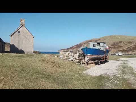
ard neakie lime kilns

run on the Honda Shadow 125 west coast of Scotland Sutherland Highlands 27/03/2022.

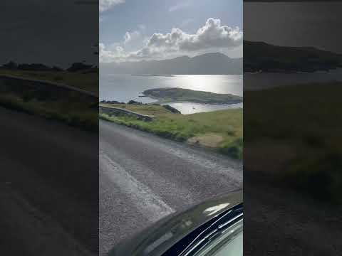
Highland NC500 Forever and More by Jaguar San Loch Eriboll 2022 part 2

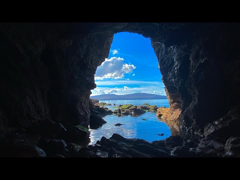
Take a trip on a little blue boat and discover Scotland's treasured secrets. Please share! Questions? Get in touch by emailing ...

Nearby Amenities

Located within 500m of 58.5185,-4.6746843
Source: PGS
Lat/Long: 58.516312/-4.6821369
Created By: almien_coastlines
Source: PGS
Lat/Long: 58.516746/-4.681511
Created By: almien_coastlines
Source: PGS
Lat/Long: 58.516877/-4.681272
Source: PGS
Lat/Long: 58.5171917/-4.6806433
Created By: almien_coastlines
Source: PGS
Lat/Long: 58.517533/-4.680081
Created By: almien_coastlines
Source: PGS
Lat/Long: 58.517663/-4.679842
Created By: almien_coastlines
Source: PGS
Lat/Long: 58.517795/-4.679604
Created By: almien_coastlines
Source: PGS
Lat/Long: 58.517926/-4.679365
Source: PGS
Lat/Long: 58.5180178/-4.6790583
Source: PGS
Lat/Long: 58.5181264/-4.6787807
Source: PGS
Lat/Long: 58.5184007/-4.6783138
Source: PGS
Lat/Long: 58.5193411/-4.6784565
Source: PGS
Lat/Long: 58.5199301/-4.6779276
Source: PGS
Lat/Long: 58.5202337/-4.6774525
Source: PGS
Lat/Long: 58.5204302/-4.6771931
Source: PGS
Lat/Long: 58.5205191/-4.6769863
Source: PGS
Lat/Long: 58.5208737/-4.6759593
Source: PGS
Lat/Long: 58.5209888/-4.6757367
Source: PGS
Lat/Long: 58.5211762/-4.675652
Source: PGS
Lat/Long: 58.5213496/-4.6753773
Source: PGS
Lat/Long: 58.5218387/-4.674879
Source: PGS
Lat/Long: 58.5221603/-4.6745877
Source: PGS
Lat/Long: 58.5226607/-4.6740449
Source: PGS
Lat/Long: 58.5228796/-4.6740299
The data included in this document is from www.openstreetmap.org. The data is made available under ODbL.

Have you been to A' chlèit?

Leave your review of A' chlèit below (or comments, questions and feedback).