Rock of the Harbour

Island in Ayrshire

Scotland

Rock of the Harbour

All that remains of Montfode Castle See also <a title="https://www.geograph.org.uk/photo/5969420" href="https://www.geograph.org.uk/photo/5969420">Link</a>
All that remains of Montfode Castle Credit: Gordon Brown

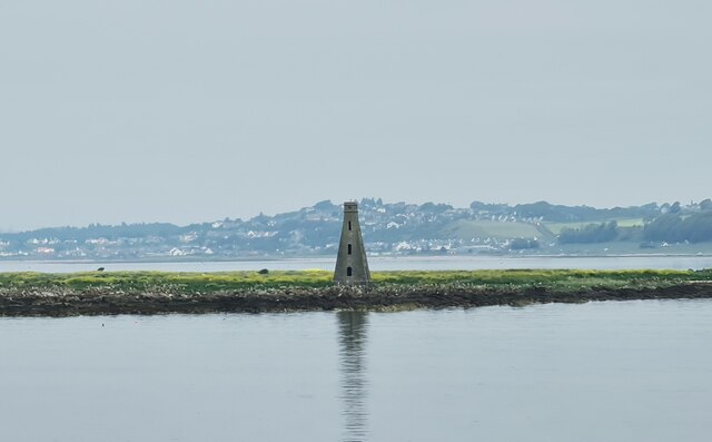
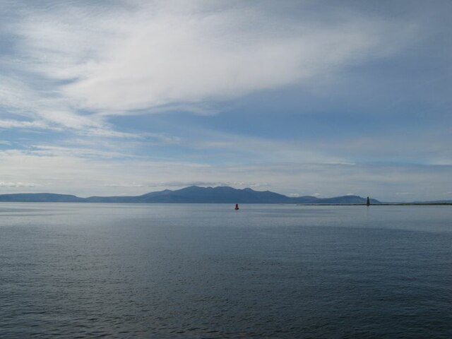
Rock of the Harbour is a small island located off the coast of Ayrshire in southwestern Scotland. It is situated in the Firth of Clyde, approximately 3 kilometers from the town of Troon. The island is known for its distinctive rock formation that rises dramatically from the surrounding sea, giving it its name.

Measuring around 150 meters in length and 100 meters in width, Rock of the Harbour is a rocky outcrop with steep cliffs on all sides. The island is uninhabited and is mostly visited by tourists and nature enthusiasts. Its rugged and picturesque landscape makes it a popular spot for photographers, hikers, and birdwatchers.

The island is home to a variety of bird species, including guillemots, razorbills, and kittiwakes, which nest on the cliffs. Visitors can often observe these birds from a boat or from the mainland during breeding season. The surrounding waters are also teeming with marine life, making it a great spot for diving and snorkeling.

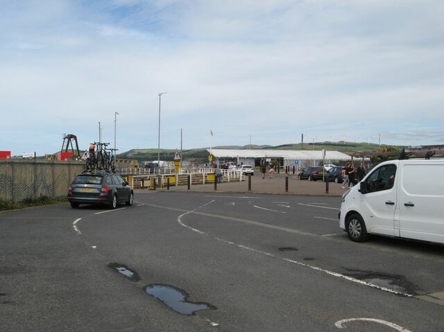
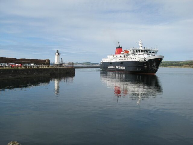
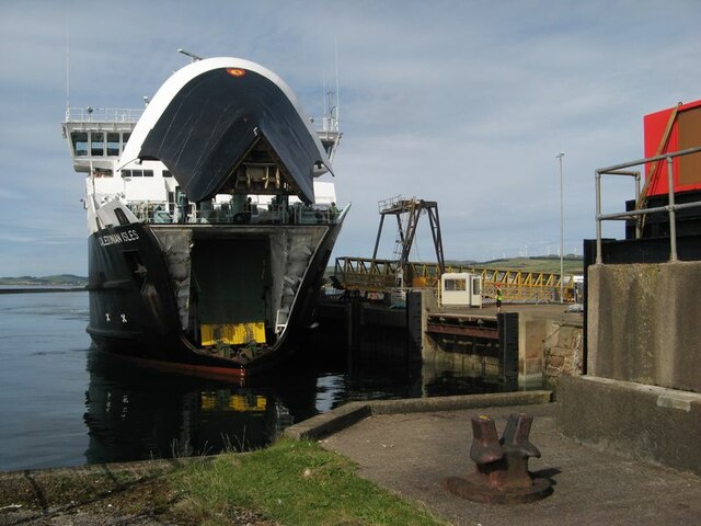
Access to Rock of the Harbour is limited and can only be reached by boat or kayak. It is important to note that the island does not have any facilities or amenities, so visitors are advised to bring their own supplies and take necessary precautions for their safety.

Overall, Rock of the Harbour is a captivating island that offers a unique experience for nature lovers and outdoor enthusiasts seeking to explore the rugged beauty of Ayrshire's coast.

If you have any feedback on the listing, please let us know in the comments section below.

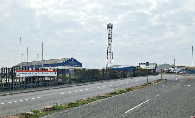
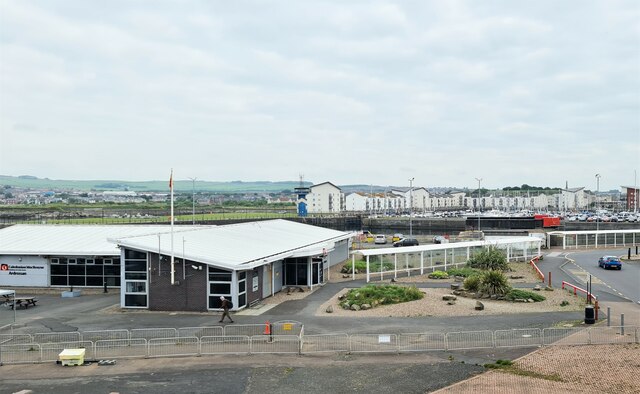
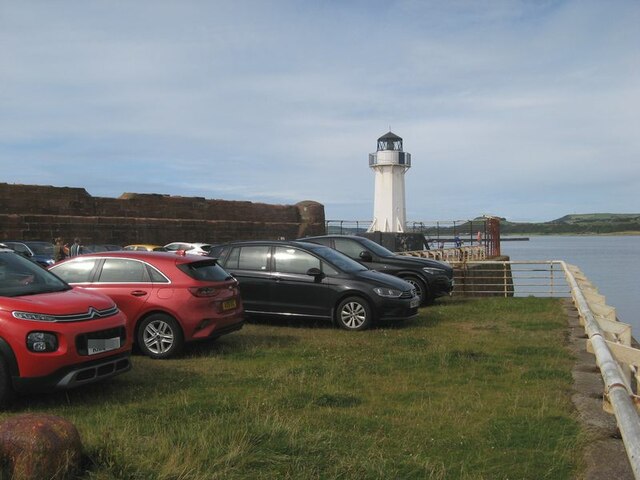
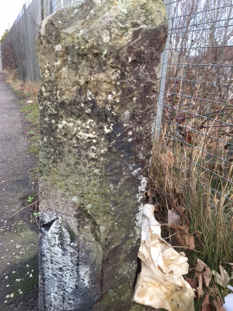
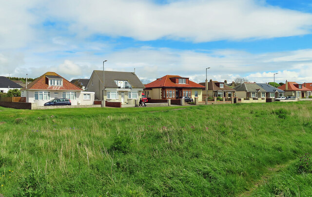
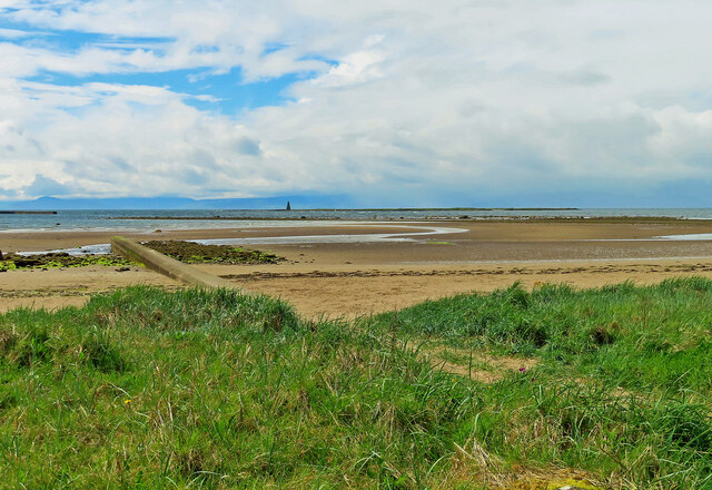
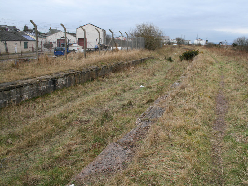
Rock of the Harbour Images

Images are sourced within 2km of 55.647187/-4.8421743 or Grid Reference NS2142. Thanks to Geograph Open Source API. All images are credited.

All that remains of Montfode Castle See also <a title="https://www.geograph.org.uk/photo/5969420" href="https://www.geograph.org.uk/photo/5969420">Link</a>
All that remains of Montfode Castle
See also Link
Boydstone Shore The Firth of Clyde to the left and the busy A78 to the right.  This pavement is here part of the Ayrshire Coastal Path - and well walked.
Boydstone Shore
The Firth of Clyde to the left and the busy A78 to the right. This pavement is here part of the Ayrshire Coastal Path - and well walked.
Boat yard
Boat yard
Harbour entrance
Harbour entrance
Seagull on Outflow
Seagull on Outflow
Entrance for Arran Ferry at Ardrossan
Caledonian MacBrayne's Ardossan terminal
Beacon on Horse Isle
Lighthouse and long-stay parking A view of the harbour wall and parking area. The condition of the sea wall is a matter of concern, and is expected to form part of the works on upgrading the harbour facilities in readiness for the new vessel.
Lighthouse and long-stay parking
A view of the harbour wall and parking area. The condition of the sea wall is a matter of concern, and is expected to form part of the works on upgrading the harbour facilities in readiness for the new vessel.
Vehicle lanes and ferry terminal building Ferry facilities at Ardrossan harbour. This area is expected to be re-modelled for extra capacity and speed of loading when the new ferry takes up the service.
Vehicle lanes and ferry terminal building
Ferry facilities at Ardrossan harbour. This area is expected to be re-modelled for extra capacity and speed of loading when the new ferry takes up the service.
MV Caledonian Isles The ferry from Brodick on Arran enters the harbour at Ardrossan.
MV Caledonian Isles
The ferry from Brodick on Arran enters the harbour at Ardrossan.
MV Caledonian Isles docking The ferry on approach to the linkspan with bow-visor raised.
MV Caledonian Isles docking
The ferry on approach to the linkspan with bow-visor raised.
Arran view An atmospheric, afternoon view of Arran from the harbour lighthouse. Navigation markers and the Horse Isle Shelves can be seen near to the shore.
Arran view
An atmospheric, afternoon view of Arran from the harbour lighthouse. Navigation markers and the Horse Isle Shelves can be seen near to the shore.
Old milestone On North Bay on Montgomerie Road near the junction of Caledonia Road is this very eroded toll road milestone.   Until 2008 it was sited at the Shell Bridge.   After roadworks it was reset at its current position.   This right-hand face has a very eroded Largs 11/Greenock 25 although the bench mark is clear.   The left face has Irvine/9½/Kilwinning/5½/Saltcoats/2.
Old milestone
On North Bay on Montgomerie Road near the junction of Caledonia Road is this very eroded toll road milestone. Until 2008 it was sited at the Shell Bridge. After roadworks it was reset at its current position. This right-hand face has a very eroded Largs 11/Greenock 25 although the bench mark is clear. The left face has Irvine/9½/Kilwinning/5½/Saltcoats/2.
North Crescent Road Shoreline bungalows on the outskirts of Ardrossan.
North Crescent Road
Shoreline bungalows on the outskirts of Ardrossan.
Towards Horse Island Looking out across Ardrossan's North Bay towards Horse Isle and its Martello Tower.
Towards Horse Island
Looking out across Ardrossan's North Bay towards Horse Isle and its Martello Tower.
Pipe outflow, North Bay, Ardrossan
Beachside sign, North Bay, Ardrossan
Show me another place!

Rock of the Harbour is located at Grid Ref: NS2142 (Lat: 55.647187, Lng: -4.8421743)

Unitary Authority: North Ayrshire

Police Authority: Ayrshire

What 3 Words

///giraffes.poorly.torch. Near Ardrossan, North Ayrshire

Related Wikis

Horse Isle

Horse Isle (Scottish Gaelic: Eilean nan Each) is an uninhabited island located in the Firth of Clyde, Scotland near the seaside town of Ardrossan. It is...

Ardrossan Winton Pier railway station

Ardrossan Winton Pier railway station served the town of Ardrossan and its harbour, North Ayrshire, Scotland. The station allowed train passengers to link...

Ardrossan Montgomerie Pier railway station

Ardrossan Montgomerie Pier railway station was a railway station serving the town of Ardrossan, North Ayrshire, Scotland as part of the Lanarkshire and...

Ardrossan Harbour railway station

Ardrossan Harbour railway station is one of three remaining railway stations in the town of Ardrossan, North Ayrshire, Scotland. The station is managed...

Ardrossan North railway station

Ardrossan North railway station was a railway station serving the town of Ardrossan, North Ayrshire, Scotland as part of the Lanarkshire and Ayrshire Railway...
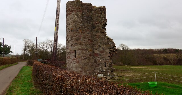
Montfode Castle

The remains of the old castle of Montfode or Monfode lie to the north-west of the town of Ardrossan and 1.5 miles (2.4 km) south-west of West Kilbride...

Ardrossan Civic Centre

Ardrossan Civic Centre is a municipal building in Glasgow Street, Ardrossan, North Ayrshire, Scotland. The building, which is largely used as a community...

Ardrossan Town railway station

Ardrossan Town railway station is one of three remaining in the town of Ardrossan, North Ayrshire, Scotland. It is one of the oldest operational railway...

Have you been to Rock of the Harbour?

Leave your review of Rock of the Harbour below (or comments, questions and feedback).