Black Rock
Island in Ayrshire
Scotland
Black Rock
Black Rock is a small island located off the coast of Ayrshire, Scotland. Situated in the Firth of Clyde, it lies approximately 2 miles southwest of the town of Ardrossan. The island is known for its distinctive black basalt rock formations, which give it its name.
With a total area of around 6 hectares, Black Rock is relatively small in size. It has a rugged and rocky terrain, covered in a sparse vegetation of grasses and low-lying shrubs. The island is uninhabited and lacks any permanent structures or facilities.
Black Rock is a popular destination for wildlife enthusiasts and birdwatchers. It is home to a variety of seabirds, including common guillemots, razorbills, and puffins. The surrounding waters are also teeming with marine life, making it an ideal spot for snorkeling and diving.
Access to Black Rock is limited, and visitors usually need to arrange transportation by boat or kayak. There are no designated landing areas, and caution must be exercised due to the treacherous nature of the rough seas and strong currents in the area.
Overall, Black Rock offers a unique and picturesque natural setting for those seeking solitude and a chance to observe Scotland's diverse coastal wildlife. Its striking black rocks and abundant birdlife make it a fascinating destination for nature lovers and outdoor enthusiasts.
If you have any feedback on the listing, please let us know in the comments section below.
Black Rock Images
Images are sourced within 2km of 55.739216/-4.8712512 or Grid Reference NS1953. Thanks to Geograph Open Source API. All images are credited.


Black Rock is located at Grid Ref: NS1953 (Lat: 55.739216, Lng: -4.8712512)
Unitary Authority: North Ayrshire
Police Authority: Ayrshire
What 3 Words
///ideals.robot.contacts. Near Fairlie, North Ayrshire
Nearby Locations
Related Wikis
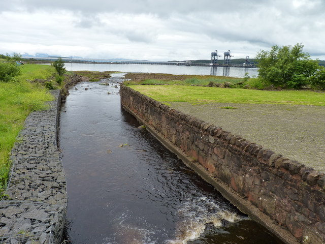
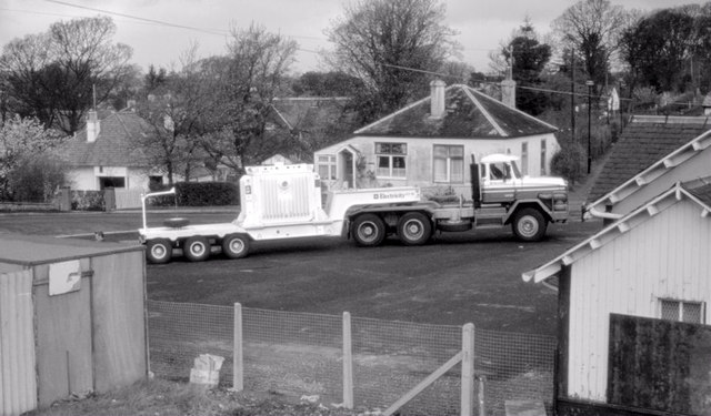
Hunterston Terminal
Hunterston Terminal, in North Ayrshire, Scotland, was an iron ore and coal-handling port located at Fairlie on the Firth of Clyde, operated by Clydeport...

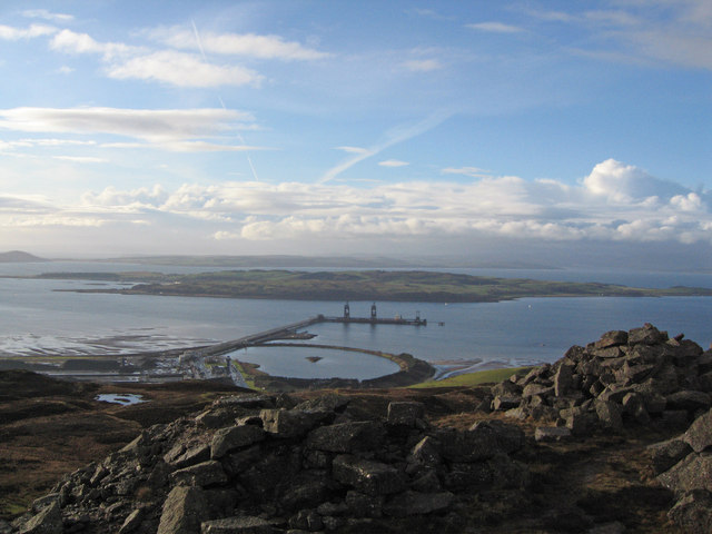
Hunterston
Hunterston, by the Firth of Clyde, is a coastal area in Ayrshire, Scotland. It is the seat and estate of the Hunter family. As an area of flat land adjacent...

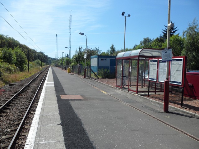
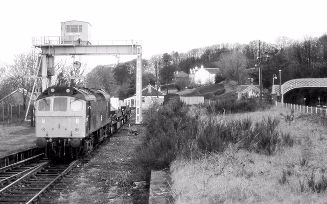
Fairlie railway station
Fairlie railway station serves the village of Fairlie, North Ayrshire, Scotland. The station is managed by ScotRail and is on the Ayrshire Coast Line....
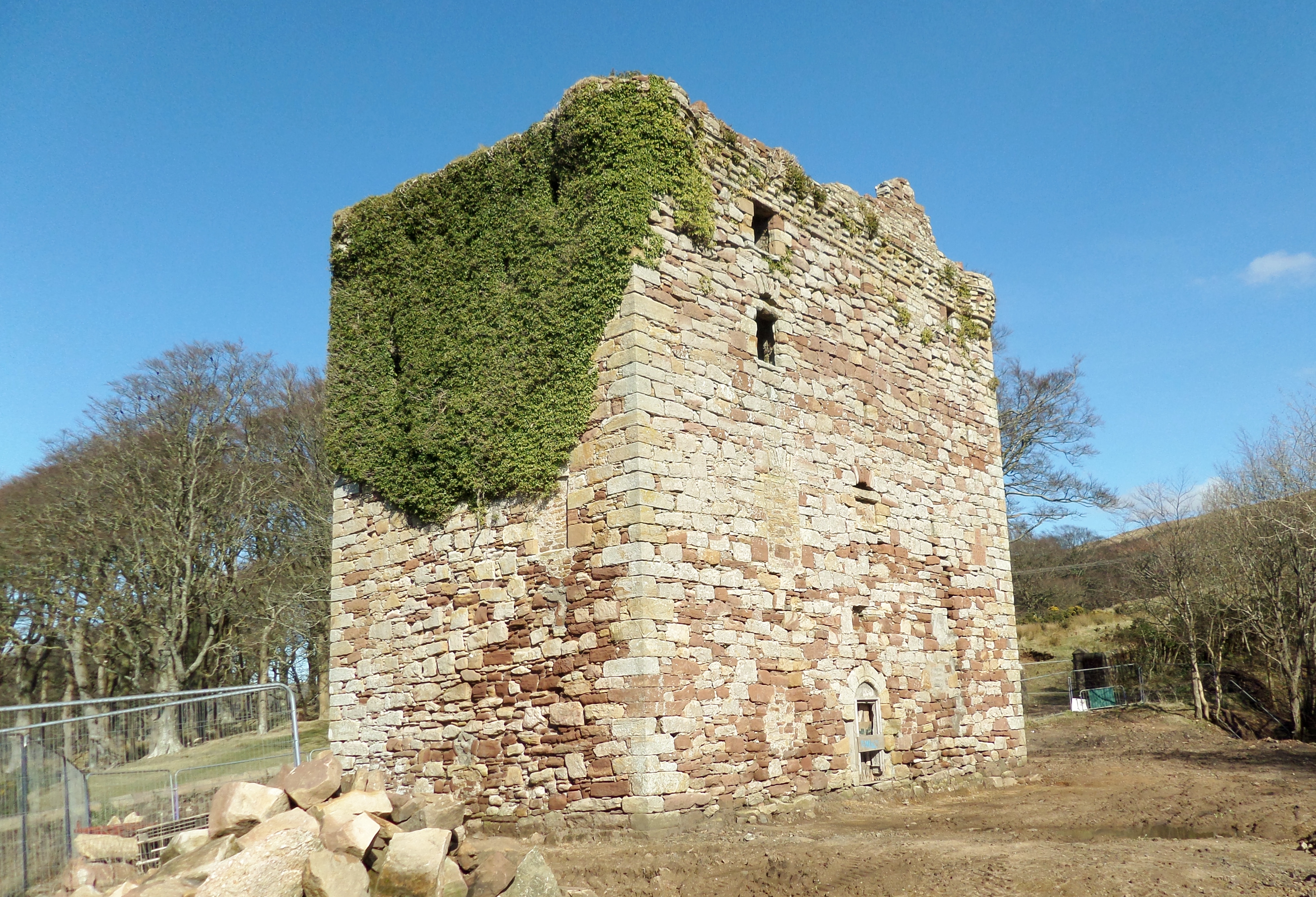
Fairlie Castle
Fairlie Castle is a restored oblong tower castle located on a natural rounded knoll situated above a precipitous section of the Fairlie Glen near the town...
Have you been to Black Rock?
Leave your review of Black Rock below (or comments, questions and feedback).