Bedlam Street

Settlement in Sussex Mid Sussex

England

Bedlam Street

Lamb House, Cuckfield Road
Lamb House, Cuckfield Road Credit: Peter Jeffery

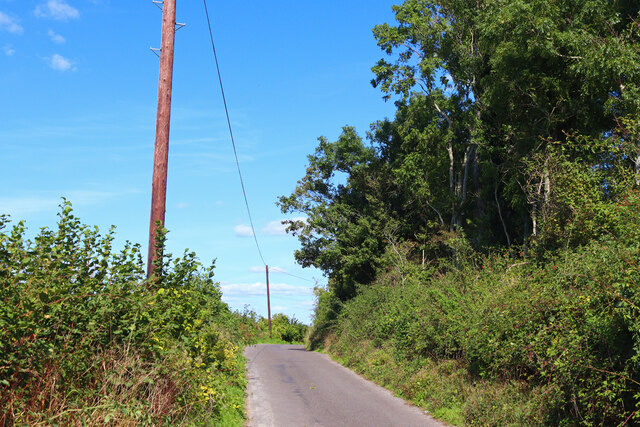
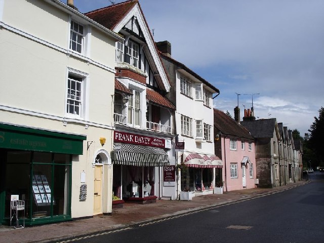
Bedlam Street is a quaint and picturesque village located in Sussex, England. Nestled amidst rolling green hills and dotted with charming cottages, it is a place that exudes a sense of tranquility and idyllic beauty. The village is known for its rich history, which dates back several centuries, and is steeped in folklore and local legends.

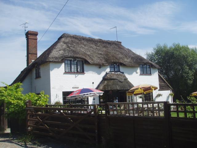
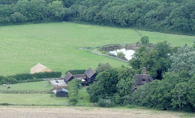
The architecture in Bedlam Street is predominantly traditional, with many houses boasting thatched roofs and exposed timber beams. The village center is adorned with a small square, where a traditional market is held every weekend, offering a variety of local produce and handmade crafts. The streets are lined with vibrant flower gardens, adding to the overall charm and appeal of the village.

One of the notable landmarks in Bedlam Street is the ancient parish church, St. Mary's, which stands proudly at the heart of the village. This historic church showcases stunning stained-glass windows and intricate stone carvings, attracting visitors from near and far.

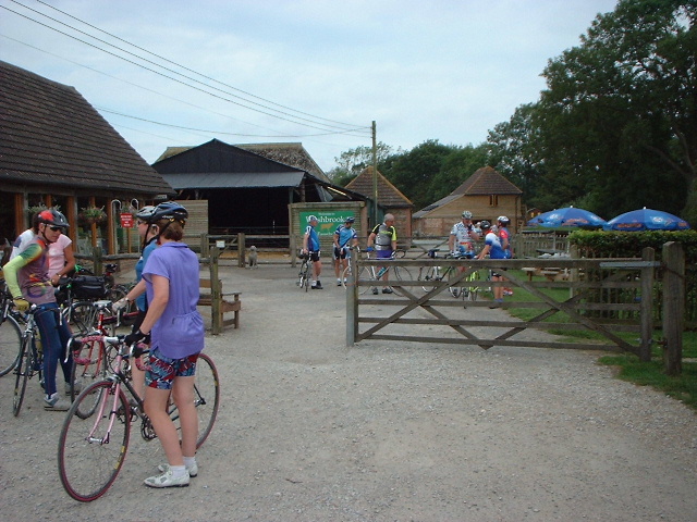
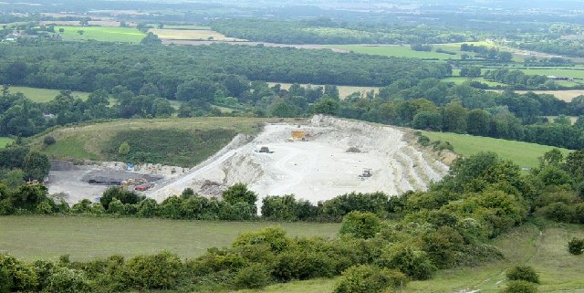
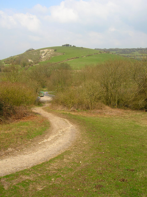
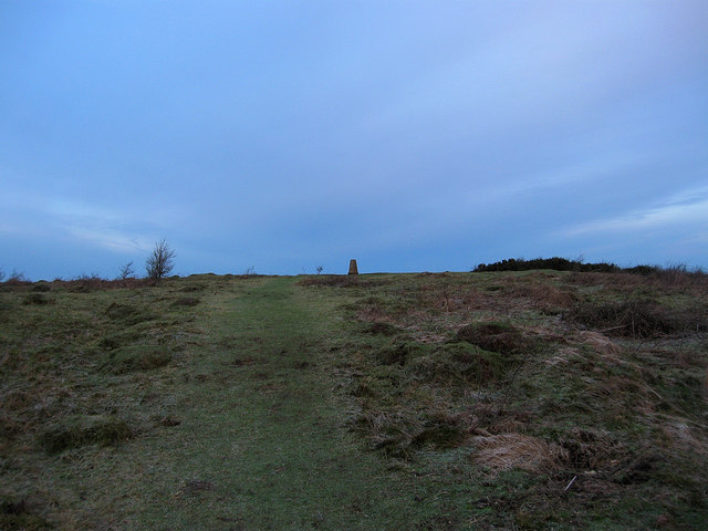
Surrounding the village are vast expanses of lush countryside, providing ample opportunities for outdoor activities such as hiking, cycling, and horseback riding. The rolling hills offer breathtaking panoramic views, making it a popular destination for nature enthusiasts and photographers.

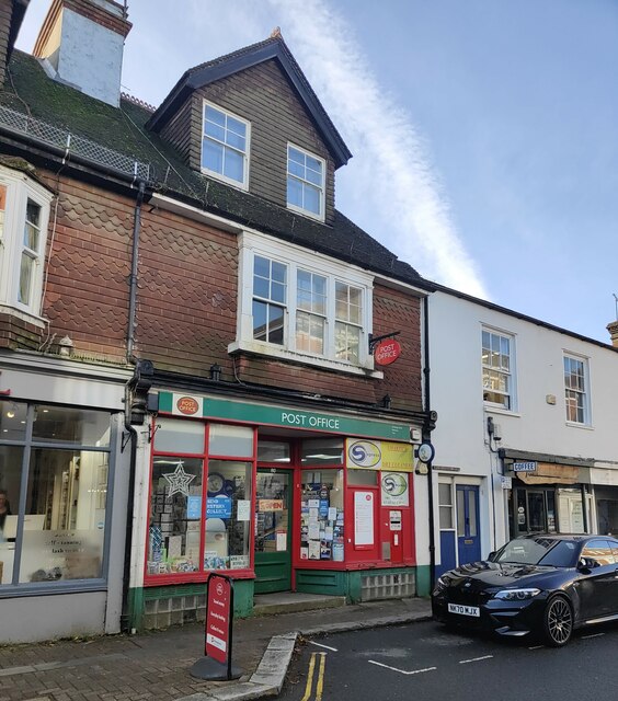
Bedlam Street is also home to a range of quaint tea rooms, cozy pubs, and boutique shops. These establishments provide visitors with an opportunity to relax and indulge in the local cuisine, including traditional British fare and regional specialties.

Overall, Bedlam Street is a charming and picturesque village that offers a perfect escape from the hustle and bustle of modern life. With its rich history, stunning landscapes, and warm hospitality, this Sussex gem is a must-visit destination for those seeking solace and a taste of English countryside charm.

If you have any feedback on the listing, please let us know in the comments section below.

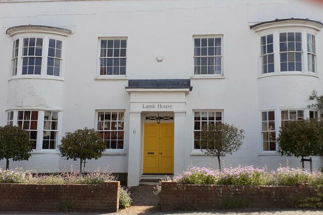
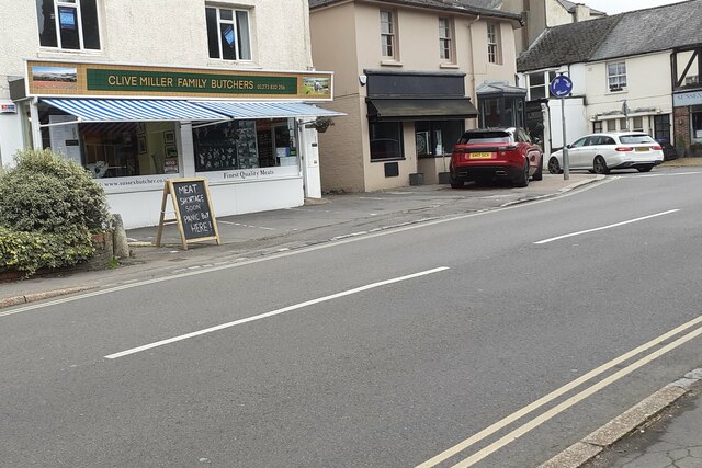
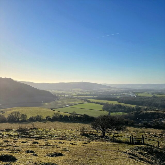
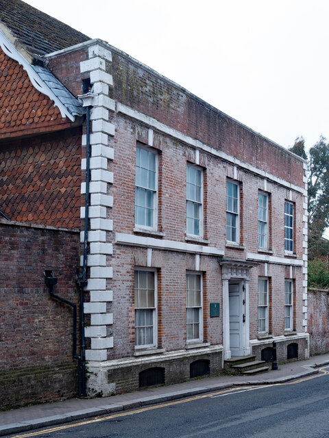
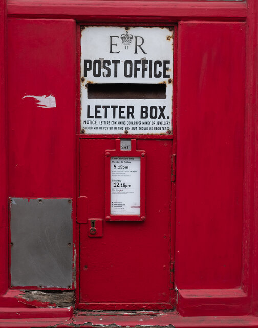
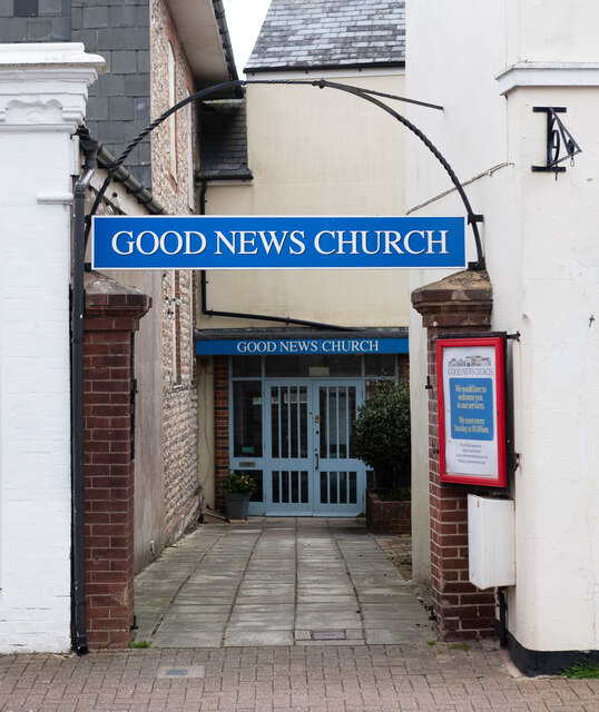
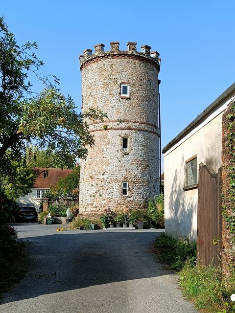
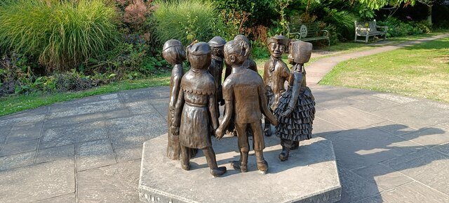
Bedlam Street Images

Images are sourced within 2km of 50.920492/-0.1945488 or Grid Reference TQ2715. Thanks to Geograph Open Source API. All images are credited.

Lamb House, Cuckfield Road
Clive Miller Family Butcher Cuckfield Road.
Clive Miller Family Butcher
Cuckfield Road.
View WSW along the South Downs from Wolstonbury Hill
Hurstpierpoint : Mansion House Find out more about this Grade II* listed building at this <span class="nowrap"><a title="https://en.wikipedia.org/wiki/Mansion_House,_Hurstpierpoint" rel="nofollow ugc noopener" href="https://en.wikipedia.org/wiki/Mansion_House,_Hurstpierpoint">Link</a><img style="margin-left:2px;" alt="External link" title="External link - shift click to open in new window" src="https://s1.geograph.org.uk/img/external.png" width="10" height="10"/></span>.
Hurstpierpoint : Mansion House
Find out more about this Grade II* listed building at this LinkExternal link.
Hurstpierpoint : Post Office letter box
Hurstpierpoint : Good News Church Evangelical church
Hurstpierpoint : Good News Church
Evangelical church
Tower in garden of 74 High Street
Children of the Fair
Wolstonbury Hill Trig point on Wolstonbury Hill.
Wolstonbury Hill
Trig point on Wolstonbury Hill.
Chalk Pit Aggregate extraction near Poynings.
Chalk Pit
Aggregate extraction near Poynings.
St John's Church Church near the village of Poynings.
St John's Church
Church near the village of Poynings.
Minor Road Road near Poynings.
Minor Road
Road near Poynings.
Hurstpierpoint Post Office The Post Office dates way back to 1660 when it was established by Charles II. The next year the postmark was first used. The first purpose-built mail facility was opened at St Martin Le Grande London in 1829. The invention of the adhesive postage stamp by Sir Rowland Hill followed in 1837.
Hurstpierpoint Post Office
The Post Office dates way back to 1660 when it was established by Charles II. The next year the postmark was first used. The first purpose-built mail facility was opened at St Martin Le Grande London in 1829. The invention of the adhesive postage stamp by Sir Rowland Hill followed in 1837.
Washbrook Farm The cafe is a popular meeting place for cyclists.
Washbrook Farm
The cafe is a popular meeting place for cyclists.
Shaves Thatch Inn On the junction of B2117 and A281 is this Inn serving real ale and good food.
Shaves Thatch Inn
On the junction of B2117 and A281 is this Inn serving real ale and good food.
Chalk Quarry This chalk quarry is still in use. Looking WSW.
Chalk Quarry
This chalk quarry is still in use. Looking WSW.
Foxhole Cottages Looking NW
Foxhole Cottages
Looking NW
Danny House and Little Danny Farm A house has existed on this site since the 13th century although Danny House in its present form was built in 1595. It is now used as holiday rental apartments and retirement flats.
Danny House and Little Danny Farm
A house has existed on this site since the 13th century although Danny House in its present form was built in 1595. It is now used as holiday rental apartments and retirement flats.
Show me another place!

Bedlam Street is located at Grid Ref: TQ2715 (Lat: 50.920492, Lng: -0.1945488)

Administrative County: West Sussex

District: Mid Sussex

Police Authority: Sussex

What 3 Words

///herbs.signified.thrillers. Near Hurstpierpoint, West Sussex

Related Wikis

Newtimber

Newtimber is a small village and civil parish in the Mid Sussex District of West Sussex, England. It is located north-west of Brighton. The parish also...

Newtimber Place

Newtimber Place is a Grade I listed building in the Mid Sussex district of West Sussex, England. The house sits on a D-shaped island in a moat. The oldest...
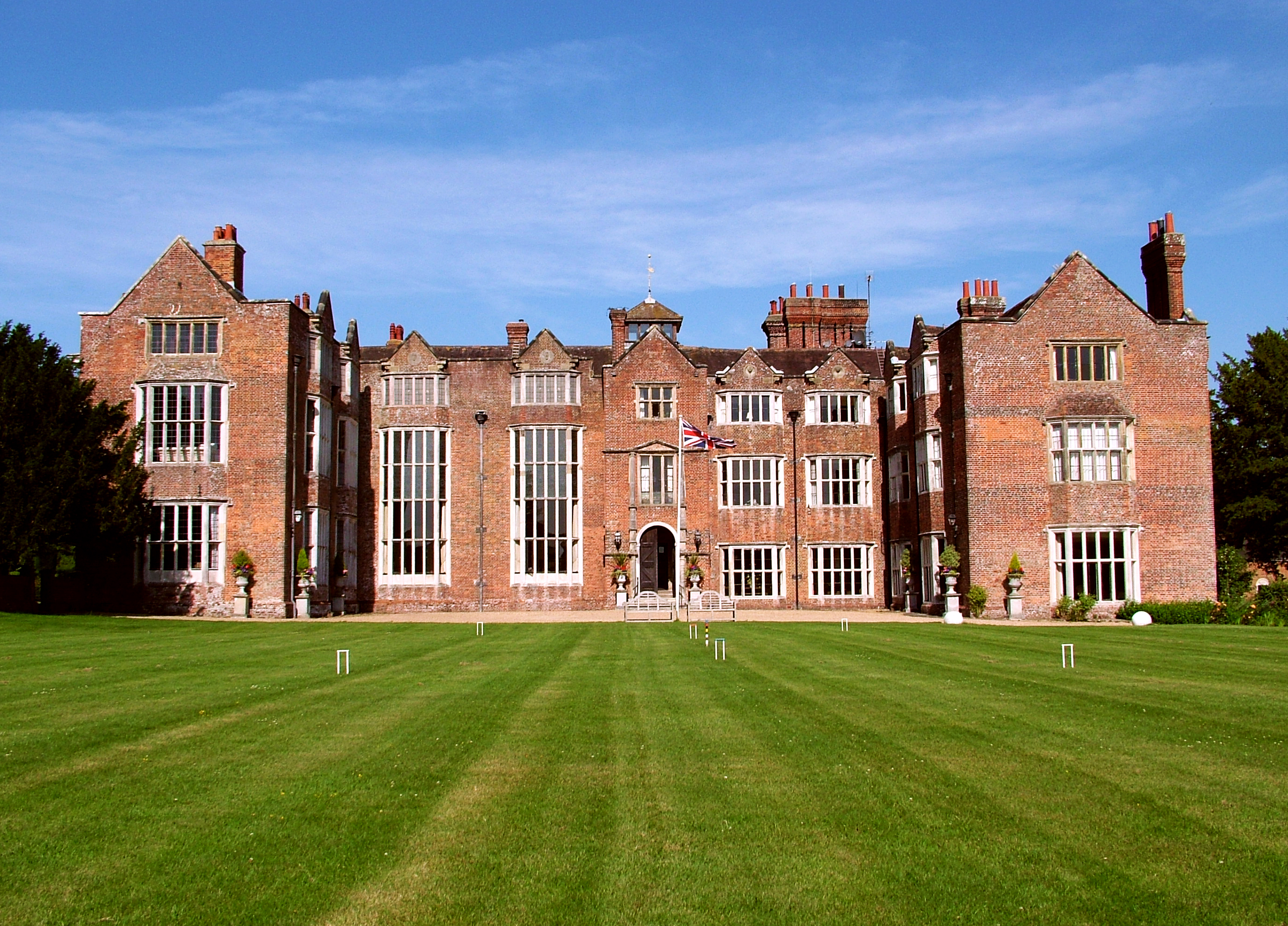
Danny House

Danny House is a Grade I listed Elizabethan red brick mansion near Hurstpierpoint in West Sussex, England. It lies at the northern foot of Wolstonbury...

Mansion House, Hurstpierpoint

Mansion House is a prominent and historically significant Grade II* listed Georgian village property in Hurstpierpoint, West Sussex, England. The substantial...

Hurstpierpoint

Hurstpierpoint is a village in West Sussex, England, 4 miles (6.4 km) southwest of Burgess Hill, and 1.5 miles (2.4 km) west of Hassocks railway station...

Albourne

Albourne is a village and civil parish in the Mid Sussex district of West Sussex, England. It lies just off the A23 road three miles (4.8 km) east of Henfield...

Wolstonbury Hill

Wolstonbury Hill is a 58.9-hectare (146-acre) biological Site of Special Scientific Interest south-west of in West Sussex. It is owned by the National...

Hurst Wickham

Hurst Wickham is a village in the Mid Sussex District of West Sussex, England. It lies just off the B2116 road, 2.1 miles (3.4 km) southeast of Burgess...

Nearby Amenities

Located within 500m of 50.920492,-0.1945488
Motorway Junction
Hustpierpoint
Lat/Long: 50.9172795/-0.1918521
Bus Stop
Brighton Road
Bus: yes
Naptan AtcoCode: 4400MS0221
Naptan Bearing: N
Naptan CommonName: Brighton Road
Naptan Indicator: opp Muddleswood Cottage
Naptan Landmark: Brighton Road
Naptan NaptanCode: wsxdmdta
Naptan Street: B2118
Naptan Verified: no
Public Transport: platform
Source: naptan_import
Lat/Long: 50.9205909/-0.1963527
Bus Stop
Muddleswood Crossroads
Bus: yes
Naptan AtcoCode: 4400MS0269
Naptan Bearing: W
Naptan BusStopType: CUS
Naptan CommonName: Muddleswood Crossroads
Naptan Indicator: opp B2118
Naptan Landmark: B2118
Naptan NaptanCode: wsxdmgpt
Naptan Street: Brighton Road
Naptan Verified: no
Public Transport: platform
Source: naptan_import
Lat/Long: 50.9192486/-0.1962054
Bus Stop
Muddleswood Crossroads
Bus: yes
Naptan AtcoCode: 4400MS0270
Naptan Bearing: E
Naptan BusStopType: CUS
Naptan CommonName: Muddleswood Crossroads
Naptan Indicator: adj B2118
Naptan Landmark: B2118
Naptan NaptanCode: wsxdmgpw
Naptan Street: Brighton Road
Naptan Verified: no
Public Transport: platform
Source: naptan_import
Lat/Long: 50.9193836/-0.1962144
Barrier: stile
Foot: yes
Stile: stepover
Lat/Long: 50.9202668/-0.1918416
Barrier: stile
Foot: yes
Lat/Long: 50.9226479/-0.1932296
Post Box
Post Box Type: lamp
Ref: BN6 422
Royal Cypher: EIIR
Royal Cypher Wikidata: Q33102113
Lat/Long: 50.9197959/-0.195871
Stop
Direction: forward
Stop: minor
Lat/Long: 50.9199603/-0.1930038
Barrier: stile
Foot: yes
Stile: stepover
Lat/Long: 50.9203674/-0.1918872
Parking
Lat/Long: 50.9246147/-0.1942483
Traffic Sign: yes
Lat/Long: 50.9203617/-0.1960517
Traffic Sign: yes
Lat/Long: 50.9193461/-0.197589
Traffic Sign: yes
Lat/Long: 50.919254/-0.195926
Traffic Sign: yes
Lat/Long: 50.9195448/-0.1946358
Traffic Sign: yes
Lat/Long: 50.9208485/-0.190744
Traffic Sign: yes
Lat/Long: 50.9203995/-0.1918437
Traffic Sign: yes
Lat/Long: 50.920055/-0.1930574
Traffic Sign: yes
Lat/Long: 50.9193546/-0.1927409
Traffic Sign: yes
Lat/Long: 50.9163734/-0.1919308
Muddleswood
Place: locality
Lat/Long: 50.9200786/-0.195316
The data included in this document is from www.openstreetmap.org. The data is made available under ODbL.

Have you been to Bedlam Street?

Leave your review of Bedlam Street below (or comments, questions and feedback).