Speat

Island in Wigtownshire

Scotland

Speat

Arched Rock bed at Portdown bay
Arched Rock bed at Portdown bay Credit: Tony Page

Speat is a small, picturesque island located in Wigtownshire, off the southwestern coast of Scotland. It is part of the larger archipelago known as the Southern Hebrides. The island is approximately 2 miles long and 1.5 miles wide, with a total land area of about 3 square miles.

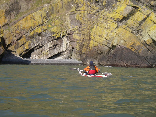
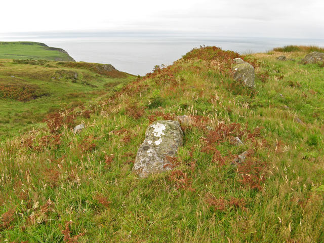
Speat is characterized by its rugged coastline, consisting of sheer cliffs and rocky coves, which provide habitat for a diverse range of seabirds, including puffins, guillemots, and razorbills. The island's interior is hilly and covered with a mix of grassland, heath, and scattered shrubs.

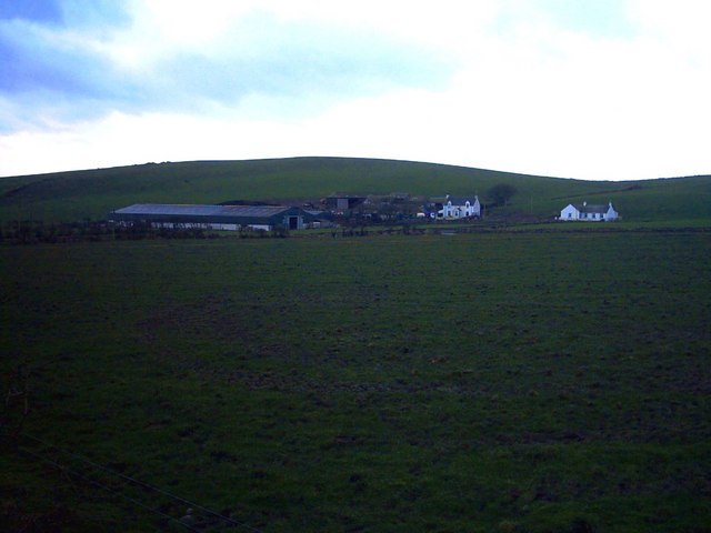
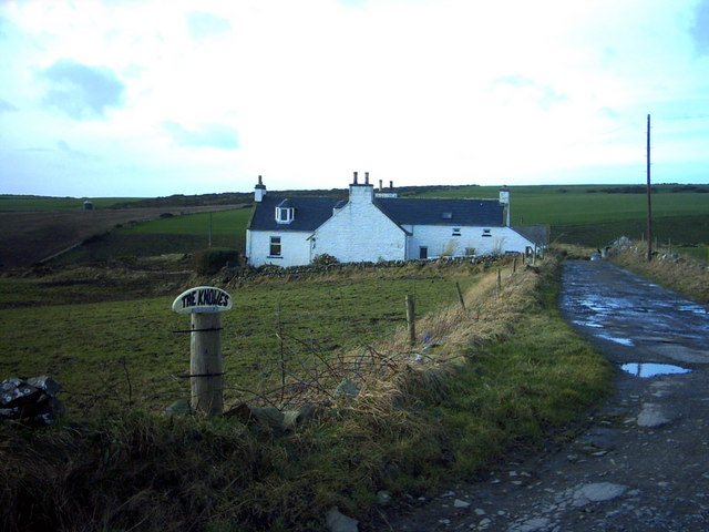
The island has a rich history, with evidence of human habitation dating back thousands of years. Ruins of ancient settlements and burial sites can be found, indicating a long history of occupation. In more recent times, Speat was used for farming, primarily for sheep grazing, although the population declined significantly in the 20th century.

Today, Speat remains uninhabited, with no permanent residents. However, it attracts visitors who are drawn to its untouched natural beauty and tranquility. The island provides opportunities for hiking, birdwatching, and exploring its geological features. Access to Speat is mainly by boat, with several local boat tours offering trips to the island. However, it is important to note that the island does not have any amenities or services, so visitors must come prepared with supplies and take care to leave no trace.

Overall, Speat is a remote and unspoiled island, offering visitors a glimpse into Scotland's rugged coastal landscapes and a chance to experience the peace and solitude of nature.

If you have any feedback on the listing, please let us know in the comments section below.
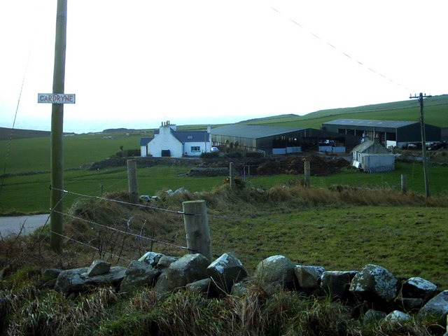
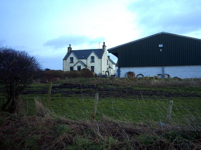
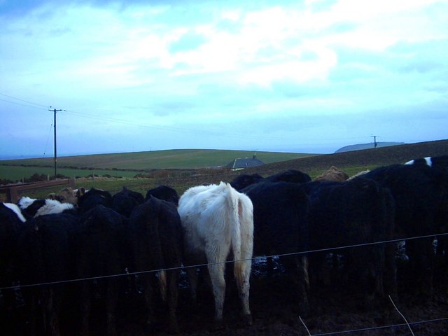
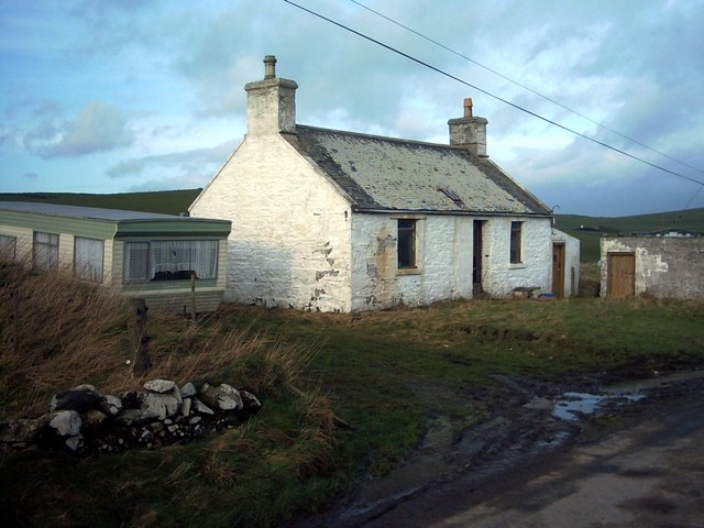
Speat Images

Images are sourced within 2km of 54.648227/-4.9329227 or Grid Reference NX1032. Thanks to Geograph Open Source API. All images are credited.

Arched Rock bed at Portdown bay
Dunman fort It proved impossible to find a viewpoint that does justice to this fine piece of fortification on the aptly named hill of Dunman, since it is the highest point around. Quite a lot of rock protrudes from the southern rampart which follows a distinct cleft in the hill. The fort commands a fine view of the North Channel as it is situated above formidable cliffs.
Dunman fort
It proved impossible to find a viewpoint that does justice to this fine piece of fortification on the aptly named hill of Dunman, since it is the highest point around. Quite a lot of rock protrudes from the southern rampart which follows a distinct cleft in the hill. The fort commands a fine view of the North Channel as it is situated above formidable cliffs.
Portdown Bay A vertiginous drop down a gully from the sheep path at the edge of the cliffs leads to the optimistically-named Portdown Bay.
Portdown Bay
A vertiginous drop down a gully from the sheep path at the edge of the cliffs leads to the optimistically-named Portdown Bay.
Mid Muntloch Farm The farm has surely one of the longest barns in existence?  The hill behind the farm is Slewhabble.
Mid Muntloch Farm
The farm has surely one of the longest barns in existence? The hill behind the farm is Slewhabble.
Knowes Farm The Knowes translates as 'the knolls' in the ancient Scottish language.  There is certainly a surfeit of grassy knolls in the area.
Knowes Farm
The Knowes translates as 'the knolls' in the ancient Scottish language. There is certainly a surfeit of grassy knolls in the area.
Cardryne Farm Owing to the decline in profitability of dairy farming Cardryne, like many other local dairy farms, is currently for sale.
Cardryne Farm
Owing to the decline in profitability of dairy farming Cardryne, like many other local dairy farms, is currently for sale.
Knock Knowe 'Knock' is a Scottish variant of 'clock'.  A 'Knowe' is a knoll in the Scottish language.  I have no idea why this hill is so named.  It appears to be a completely featureless, muddy, ploughed object.
Knock Knowe
'Knock' is a Scottish variant of 'clock'. A 'Knowe' is a knoll in the Scottish language. I have no idea why this hill is so named. It appears to be a completely featureless, muddy, ploughed object.
East Muntloch Farm East Muntloch is one of the farms locally to have diversified into offering holiday and B&B accommodation.
East Muntloch Farm
East Muntloch is one of the farms locally to have diversified into offering holiday and B&B accommodation.
Pulinkum Farm and Slewmag Just the roof of buildings on Pulinkum Farm can be seen.  The hill behind is Slewmag, and the Mull of Galloway can be seen in the distance on the right of the picture.
Pulinkum Farm and Slewmag
Just the roof of buildings on Pulinkum Farm can be seen. The hill behind is Slewmag, and the Mull of Galloway can be seen in the distance on the right of the picture.
Knowes Cottage One of many local farm cottages awaiting sympathetic restoration.
Knowes Cottage
One of many local farm cottages awaiting sympathetic restoration.
Port Kemin
Port Kemin
Rocky Coastline, on the Rhins of Galloway
Rain curtain View of the road as it approaches the bend after passing East Muntloch farm. It was dry where I was standing, but a heavy squall was in progress at the end of the road as can be seen from the misty curtain running alongside the hedge in the distance.
Rain curtain
View of the road as it approaches the bend after passing East Muntloch farm. It was dry where I was standing, but a heavy squall was in progress at the end of the road as can be seen from the misty curtain running alongside the hedge in the distance.
Summit Cairn A small cairn, rather overgrown, at the summit of Auchneight Moor. To the right is the slope of High Slock Fell.
Summit Cairn
A small cairn, rather overgrown, at the summit of Auchneight Moor. To the right is the slope of High Slock Fell.
Cattle sheds at Cardryne At this time of year only the calves are living in the big sheds. A farm road towards the shore runs between the farm buildings.
Cattle sheds at Cardryne
At this time of year only the calves are living in the big sheds. A farm road towards the shore runs between the farm buildings.
Beef herd at Cardryne Inquisitive, young beef cattle beside the farm track.
Beef herd at Cardryne
Inquisitive, young beef cattle beside the farm track.
Cliff edge with Man Flower-rich turf atop the cliffs to the south of Knock Knowe. In the distance, the Isle of Man is clearly visible, with a line of cumulus clouds marking the high ground.
Cliff edge with Man
Flower-rich turf atop the cliffs to the south of Knock Knowe. In the distance, the Isle of Man is clearly visible, with a line of cumulus clouds marking the high ground.
Cliffs by Wallace Hole Far from ideal lighting for this view of the impressive cliffs that run almost uninterrupted for many kilometres to the northwest.
Cliffs by Wallace Hole
Far from ideal lighting for this view of the impressive cliffs that run almost uninterrupted for many kilometres to the northwest.
Show me another place!

Speat is located at Grid Ref: NX1032 (Lat: 54.648227, Lng: -4.9329227)

Unitary Authority: Dumfries and Galloway

Police Authority: Dumfries and Galloway

What 3 Words

///paddock.paler.strength. Near Drummore, Dumfries & Galloway

Related Wikis

Cairngaan

Cairngaan, Wigtownshire, is the southmost settlement in Scotland. The hamlet of Cairngaan lies just north of the Mull of Galloway (which contains Scotland...

Kirkmaiden (village)

Kirkmaiden (sometimes Maidenkirk; Scottish Gaelic: Cill M'Eudan) is a small settlement in Galloway, Scotland, located approximately 17 miles (27 km) south...

Mull of Galloway

The Mull of Galloway (Scottish Gaelic: Maol nan Gall, pronounced [mɯːlˠ̪ nəŋ ˈkaulˠ̪]; grid reference NX158303) is the southernmost point of Scotland....

Kirkmaiden

Kirkmaiden is a parish in the Rhins of Galloway, the most southerly in Scotland; the present Church of Scotland parish has the same name as and is approximately...

Nearby Amenities

Located within 500m of 54.648227,-4.9329227
Source: PGS
Lat/Long: 54.651457/-4.9381409
Source: PGS
Lat/Long: 54.6515369/-4.9376842
Source: PGS
Lat/Long: 54.6512999/-4.9371653
Source: PGS
Lat/Long: 54.6510337/-4.93673
Source: PGS
Lat/Long: 54.6507418/-4.936007
Source: PGS
Lat/Long: 54.6500493/-4.9355352
Source: PGS
Lat/Long: 54.6495064/-4.9354985
Source: PGS
Lat/Long: 54.6496447/-4.9350191
Source: PGS
Lat/Long: 54.6491367/-4.934185
Source: PGS
Lat/Long: 54.6489722/-4.9340198
Source: PGS
Lat/Long: 54.6488727/-4.9338231
Source: PGS
Lat/Long: 54.6487194/-4.9335691
Source: PGS
Lat/Long: 54.6485578/-4.9333886
Source: PGS
Lat/Long: 54.648367/-4.9327694
Source: PGS
Lat/Long: 54.6481658/-4.9317996
Source: PGS
Lat/Long: 54.6481032/-4.9313033
Source: PGS
Lat/Long: 54.6480541/-4.9307127
Source: PGS
Lat/Long: 54.6475629/-4.9296873
Source: PGS
Lat/Long: 54.6470242/-4.9296705
Source: PGS
Lat/Long: 54.6473672/-4.9291711
Source: PGS
Lat/Long: 54.6469842/-4.9289627
Source: PGS
Lat/Long: 54.6469127/-4.928334
Source: PGS
Lat/Long: 54.6463622/-4.9278557
Source: PGS
Lat/Long: 54.6461328/-4.9275213
Source: PGS
Lat/Long: 54.6460125/-4.9273366
Source: PGS
Lat/Long: 54.6456787/-4.9274399
Source: PGS
Lat/Long: 54.6459506/-4.9266345
The data included in this document is from www.openstreetmap.org. The data is made available under ODbL.

Have you been to Speat?

Leave your review of Speat below (or comments, questions and feedback).