An Caol

Island in Argyllshire

Scotland

An Caol

West End car park, Fort William
West End car park, Fort William Credit: Steven Brown

An Caol is a small island located in Argyllshire, Scotland. It is situated off the west coast of Scotland, in the Inner Hebrides. The island is known for its natural beauty and tranquil atmosphere, making it a popular destination for nature enthusiasts and those seeking a peaceful getaway.

Covering an area of approximately 10 square miles, An Caol is home to a diverse range of flora and fauna. The island boasts stunning landscapes, with rugged cliffs, sandy beaches, and rolling hills. Its coastline is dotted with picturesque bays and inlets, providing breathtaking views of the surrounding sea and nearby islands.

The island has a small population, with only a handful of residents. The main settlement, also named An Caol, is a quaint village with traditional stone houses. The community is close-knit and welcoming, and visitors can experience the warm hospitality of the locals.

An Caol offers numerous outdoor activities for visitors to enjoy. Hiking and walking trails span across the island, allowing visitors to explore its natural wonders. Wildlife enthusiasts can spot a variety of seabirds, seals, and even dolphins along the coast. Fishing and boating are also popular activities in the surrounding waters.

The island has limited amenities, with a small shop and a pub providing basic necessities and refreshments. Accommodation options include self-catering cottages and bed and breakfast establishments, offering visitors a comfortable stay amidst the island's tranquility.

Overall, An Caol is a hidden gem in Argyllshire, offering a peaceful retreat for those seeking a break from the hustle and bustle of everyday life. Its natural beauty, welcoming community, and range of outdoor activities make it a perfect destination for nature lovers and relaxation seekers.

If you have any feedback on the listing, please let us know in the comments section below.
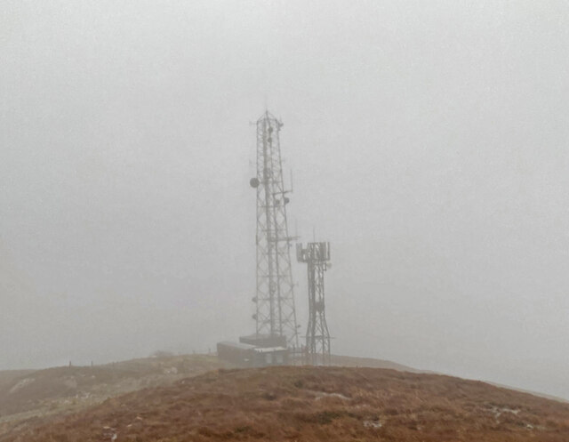
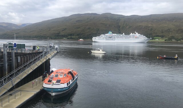
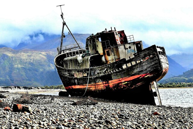
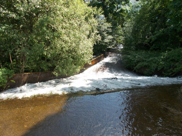
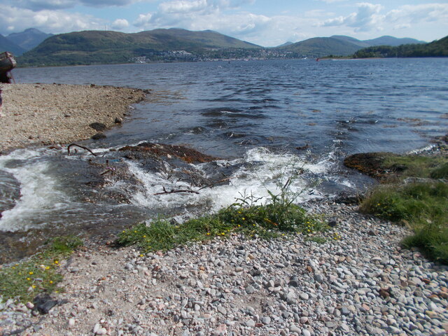
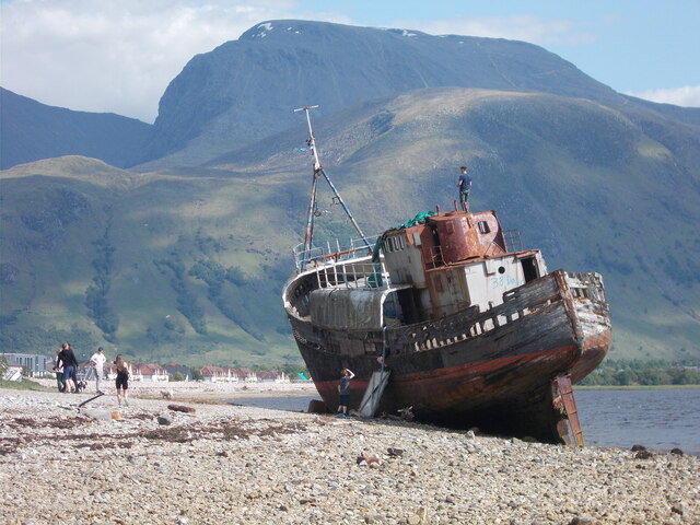
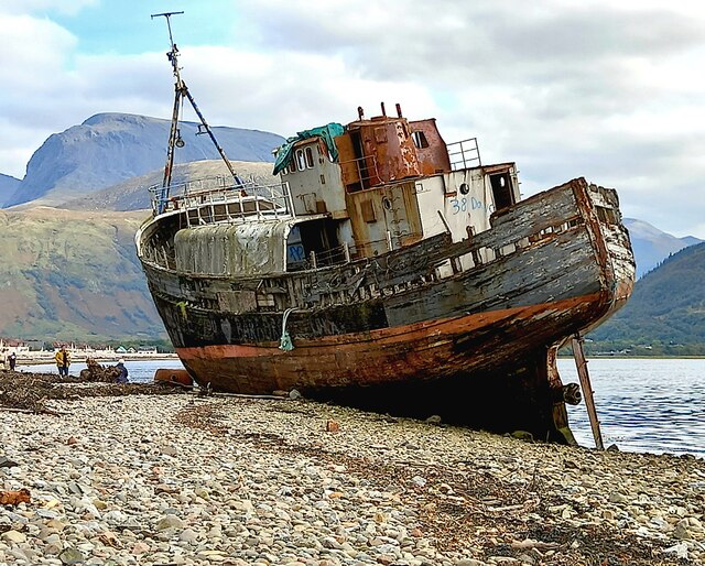
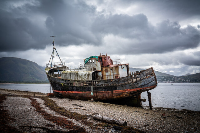
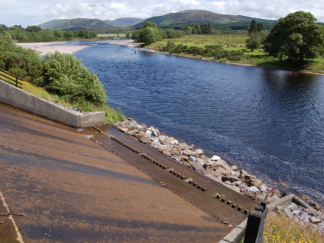
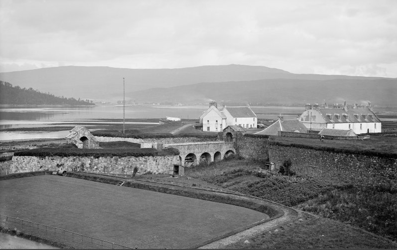
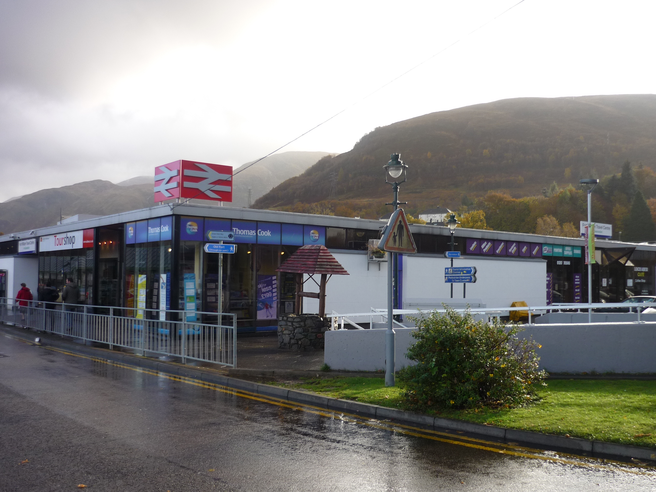
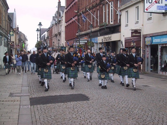
An Caol Images

Images are sourced within 2km of 56.827203/-5.1068344 or Grid Reference NN1074. Thanks to Geograph Open Source API. All images are credited.

West End car park, Fort William
Masts at Camusnagaul
Sea lock at Corpach Vessels waiting for lock gate to be repaired to pass up Caledonian Canal.
Sea lock at Corpach
Vessels waiting for lock gate to be repaired to pass up Caledonian Canal.
Corpach Lock
Corpach Lock
Cruise ship at Fort William The 29,000 tonne cruise ship 'Amadea' is seen here anchored in Loch Linnhe off Fort William. The orange vessel at the jetty is one of her tenders ferrying passengers to and from the ship.
Cruise ship at Fort William
The 29,000 tonne cruise ship 'Amadea' is seen here anchored in Loch Linnhe off Fort William. The orange vessel at the jetty is one of her tenders ferrying passengers to and from the ship.
MV Dayspring - 'The Corpach Wreck' The MV Dayspring has sat on the Kilmallie shoreline since it was washed ashore in a storm in December 2011.

The story of MV Dayspring <span class="nowrap"><a title="https://www.obantimes.co.uk/2019/06/07/one-man-and-a-boat-the-story-of-mv-dayspring/" rel="nofollow ugc noopener" href="https://www.obantimes.co.uk/2019/06/07/one-man-and-a-boat-the-story-of-mv-dayspring/">Link</a><img style="margin-left:2px;" alt="External link" title="External link - shift click to open in new window" src="https://s1.geograph.org.uk/img/external.png" width="10" height="10"/></span>
MV Dayspring - 'The Corpach Wreck'
The MV Dayspring has sat on the Kilmallie shoreline since it was washed ashore in a storm in December 2011. The story of MV Dayspring LinkExternal link
Ducks beside the Caledonian Canal at Corpach
Sheet piling on the waterfront at Fort William Upholding the A82 road.
Sheet piling on the waterfront at Fort William
Upholding the A82 road.
Lighthouse and landing stage at the entrance to the Caledonian Canal
MV Dayspring - 'The Corpach Wreck' The MV Dayspring has sat on the Kilmallie shoreline since it was washed ashore in a storm in December 2011.

The story of MV Dayspring <span class="nowrap"><a title="https://www.obantimes.co.uk/2019/06/07/one-man-and-a-boat-the-story-of-mv-dayspring/" rel="nofollow ugc noopener" href="https://www.obantimes.co.uk/2019/06/07/one-man-and-a-boat-the-story-of-mv-dayspring/">Link</a><img style="margin-left:2px;" alt="External link" title="External link - shift click to open in new window" src="https://s1.geograph.org.uk/img/external.png" width="10" height="10"/></span>
MV Dayspring - 'The Corpach Wreck'
The MV Dayspring has sat on the Kilmallie shoreline since it was washed ashore in a storm in December 2011. The story of MV Dayspring LinkExternal link
Looking down the weir
Loch Linnhe shoreline A point where the stream issuing from the weir enters the loch.
Loch Linnhe shoreline
A point where the stream issuing from the weir enters the loch.
The Corpach Shipwreck This is the rusting hulk of a fishing vessel that has been here since 2011 after being stranded by a huge storm.
The Corpach Shipwreck
This is the rusting hulk of a fishing vessel that has been here since 2011 after being stranded by a huge storm.
MV Dayspring - 'The Corpach Shipwreck' The MV Dayspring has sat on the Kilmallie shoreline since it was washed ashore in a storm in December 2011.
MV Dayspring - 'The Corpach Shipwreck'
The MV Dayspring has sat on the Kilmallie shoreline since it was washed ashore in a storm in December 2011.
Scenic Eclipse II at Fort William Scenic Eclipse II is a 168 metre “ice-strengthened expedition mega-yacht” that was built in Rijeka, Croatia. This ship can house 228 guests and 176 crew across an impressive 10 decks.
Scenic Eclipse II at Fort William
Scenic Eclipse II is a 168 metre “ice-strengthened expedition mega-yacht” that was built in Rijeka, Croatia. This ship can house 228 guests and 176 crew across an impressive 10 decks.
Lighthouse, entrance to the Caledonian Canal
Corpach Shipwreck "MV Dayspring", Caol Built in 1975 and has been sat on the shoreline since a storm in December 2011.
Corpach Shipwreck "MV Dayspring", Caol
Built in 1975 and has been sat on the shoreline since a storm in December 2011.
Souters Lass Seen here at Corpach Basin the 'Souters Lass' was  previously used as a tourist boat offering trips up and down the Caledonian Canal from Banavie and before that as a 'whale watching' tourist boat on Loch Linnhe. She is looking a bit sad and in need of some TLC.
Souters Lass
Seen here at Corpach Basin the 'Souters Lass' was previously used as a tourist boat offering trips up and down the Caledonian Canal from Banavie and before that as a 'whale watching' tourist boat on Loch Linnhe. She is looking a bit sad and in need of some TLC.
Show me another place!

An Caol is located at Grid Ref: NN1074 (Lat: 56.827203, Lng: -5.1068344)

Unitary Authority: Highland

Police Authority: Highlands and Islands

What 3 Words

///smelter.mammoths.elevates. Near Fort William, Highland

Related Wikis

River Lochy

The River Lochy flows southwest along the Great Glen from Loch Lochy to Loch Linnhe at Fort William in the West Highlands of Scotland. Its two major tributaries...

River Nevis

The River Nevis flows from the mountains east of Ben Nevis to its mouth near the town of Fort William in Scotland. == Overview == The river rises in the...

An Aird

An Aird is both an area of Fort William, Scotland, and also the largest dedicated shinty park in the town and is situated on the east bank of Loch Linnhe...

Siege of Fort William

The siege of Fort William took place in the Scottish Highlands during the 1745 Jacobite Rising, from 20 March to 3 April 1746.On 1 February 1746, the Jacobites...

Fort William railway station

Fort William railway station serves the town of Fort William, in the Highland region of Scotland. It is on the West Highland line, between Spean Bridge...

Inverlochy, Highland

Inverlochy (Scottish Gaelic: Inbhir Lochaidh, IPA:[ˈinivɪɾʲˈɫ̪ɔxɪ]) is a village north of Fort William, Highland, Scotland. Inverlochy is part of the Great...

Fort William, Scotland

Fort William is a town in Lochaber in the Scottish Highlands, located on the eastern shore of Loch Linnhe. At the 2011 census, Fort William had a population...

Belford Hospital

Belford Hospital, locally known as The Belford, is a rural general hospital in Fort William, Lochaber, Scotland. It is managed by NHS Highland. == History... ==

Related Videos

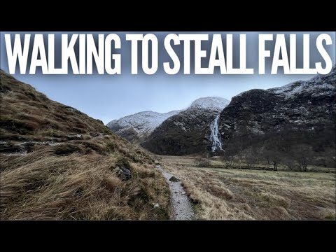
A Fort William Adventure: Part One - Walking to Steall Falls in Glen Nevis.

Join me on a short (but wild!) walk through stunning Glen Nevis to the 2nd highest waterfall in Scotland. The weather wasn't ...

Gorge Walking with Active Highs

Gorge walking and gorge scrambling in the Scottish Highlands near Fort William and Fort Augustus. Fantastic family fun!

3 Day Scotland Highlands Road Trip! Inc. Fort William, Glencoe, Loch Ness

Over 3 days we road trip around the scenic Scottish Highlands, visiting iconic places like Loch Ness, Fort William and the ...

Scotland's Most Scenic Train - A TRIP ACROSS THE HIGHLANDS

The West Highland Line is claimed to be Scotland's Most Scenic Train Route, by rolling from the lowlands to the Highlands ...

Nearby Amenities

Located within 500m of 56.827203,-5.1068344
Source: PGS
Lat/Long: 56.8266883/-5.100922
Source: PGS
Lat/Long: 56.8261372/-5.0990896
Source: PGS
Lat/Long: 56.8257966/-5.0994547
Source: PGS
Lat/Long: 56.8254524/-5.0998093
Source: PGS
Lat/Long: 56.8251755/-5.1003915
Source: PGS
Lat/Long: 56.8249166/-5.1010051
Source: PGS
Lat/Long: 56.8248028/-5.1011767
Source: PGS
Lat/Long: 56.8245491/-5.1019412
Source: PGS
Lat/Long: 56.8243878/-5.1026179
Source: PGS
Lat/Long: 56.8239989/-5.1059812
Source: PGS
Lat/Long: 56.8238274/-5.1065704
Source: PGS
Lat/Long: 56.823708/-5.1070907
Source: PGS
Lat/Long: 56.8235602/-5.1072274
Source: PGS
Lat/Long: 56.8231494/-5.108409
Archive
Lochaber Archive
Contact Facebook: https://www.facebook.com/LochaberArchiveCentre
Fee: no
Tourism: museum
Website: https://www.highlifehighland.com/lochaber-archive-centre/
Lat/Long: 56.8228021/-5.1081317
Bicycle Parking
Bicycle Parking: stands
Capacity: 10
Covered: yes
Fee: no
Lat/Long: 56.8227368/-5.1070628
Source: PGS
Lat/Long: 56.8265922/-5.1013109
Source: PGS
Lat/Long: 56.8265745/-5.1020958
Source: PGS
Lat/Long: 56.8267635/-5.1025877
Source: PGS
Lat/Long: 56.8271523/-5.1031996
Source: PGS
Lat/Long: 56.8285273/-5.10364
Source: PGS
Lat/Long: 56.829949/-5.1026069
Source: PGS
Lat/Long: 56.8303753/-5.1023712
The data included in this document is from www.openstreetmap.org. The data is made available under ODbL.

Have you been to An Caol?

Leave your review of An Caol below (or comments, questions and feedback).