Abbot's Isle

Island in Argyllshire

Scotland

Abbot's Isle

View across Loch Etive Eilean Traighe in the distance
View across Loch Etive Credit: Eirian Evans

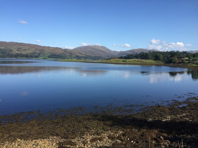
Abbot's Isle is a picturesque island located in the Argyllshire region of Scotland. Situated within the Inner Hebrides, this tiny island covers an area of around 6 acres and sits in the Sound of Iona, close to the larger island of Mull. The island gets its name from the ruins of a medieval abbey that once stood on its grounds.

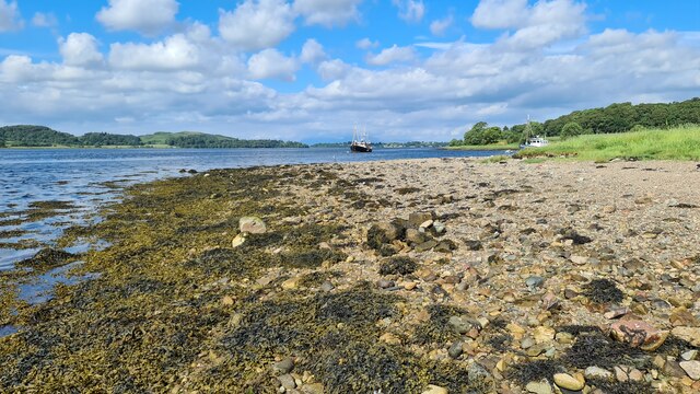
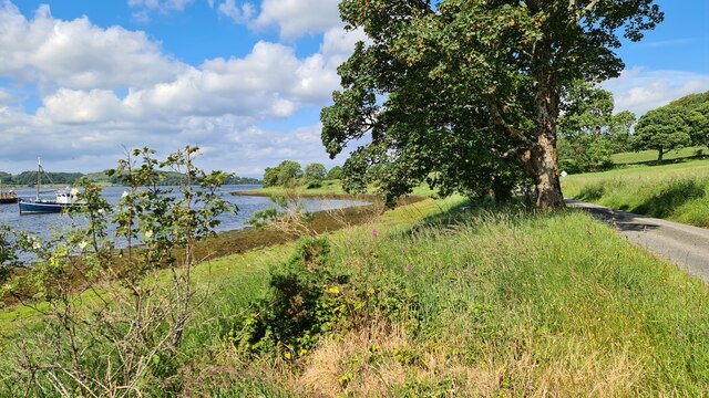
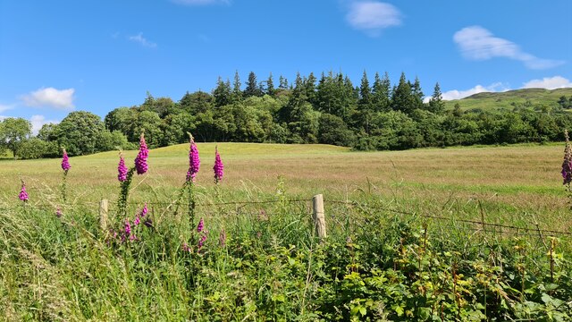
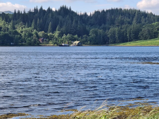
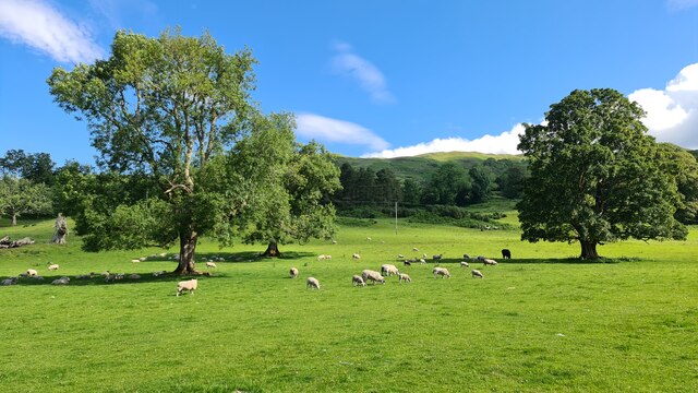
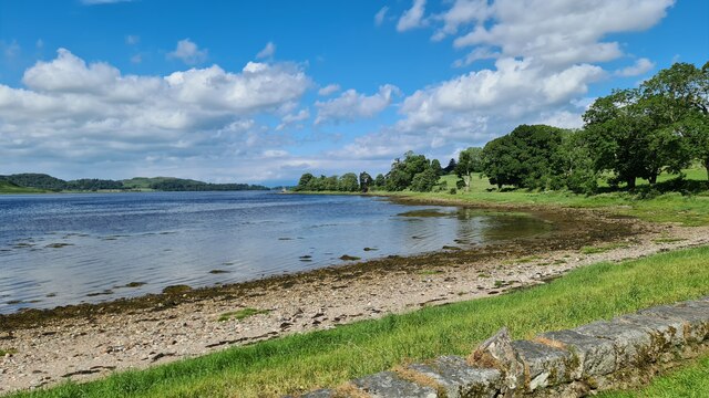
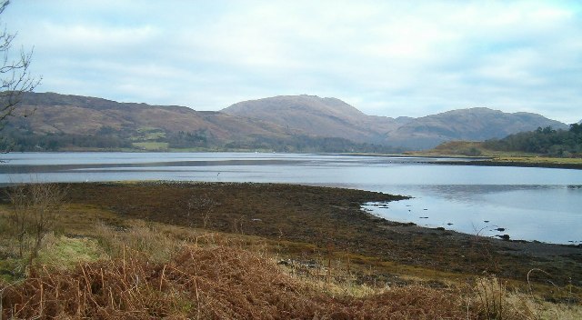
The landscape of Abbot's Isle is characterized by its rugged beauty. The island is mostly rocky, with some areas covered in grass and heather. It is surrounded by crystal-clear waters, offering breathtaking views of the surrounding sea and nearby islands.

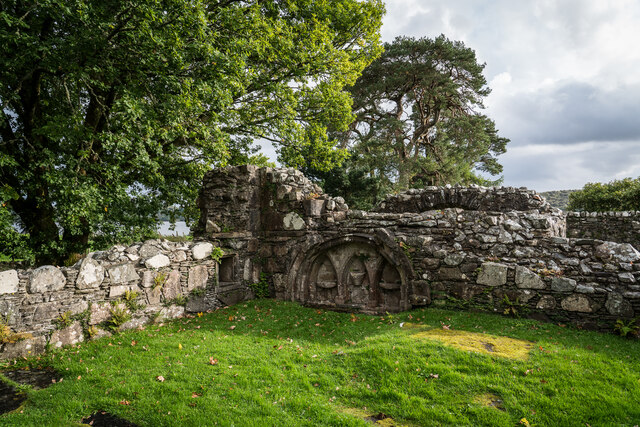
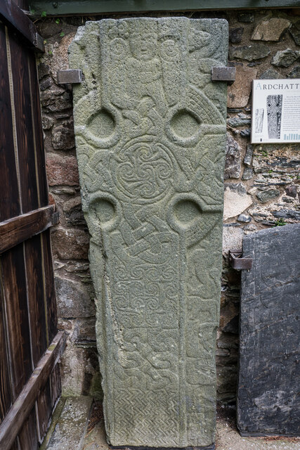
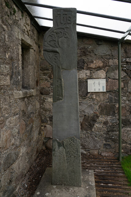
The ruins of the abbey, believed to have been built in the 13th century, are the main attraction on the island. Visitors can explore the remains of the church, the cloister, and the chapter house, gaining insight into the rich history of the area. The abbey was abandoned during the Reformation in the 16th century and fell into disrepair. Today, it stands as a reminder of the island's religious past.

Due to its small size and limited facilities, Abbot's Isle is not inhabited by permanent residents. However, it attracts tourists and history enthusiasts who come to admire its natural beauty, explore the ruins, and enjoy the tranquility of the surroundings. Access to the island is possible by boat, with tours and excursions available from nearby towns.

Overall, Abbot's Isle offers a unique glimpse into Scotland's past, combining stunning natural landscapes with historical significance. It is a must-visit destination for those seeking a peaceful retreat and an opportunity to delve into Scotland's rich cultural heritage.

If you have any feedback on the listing, please let us know in the comments section below.
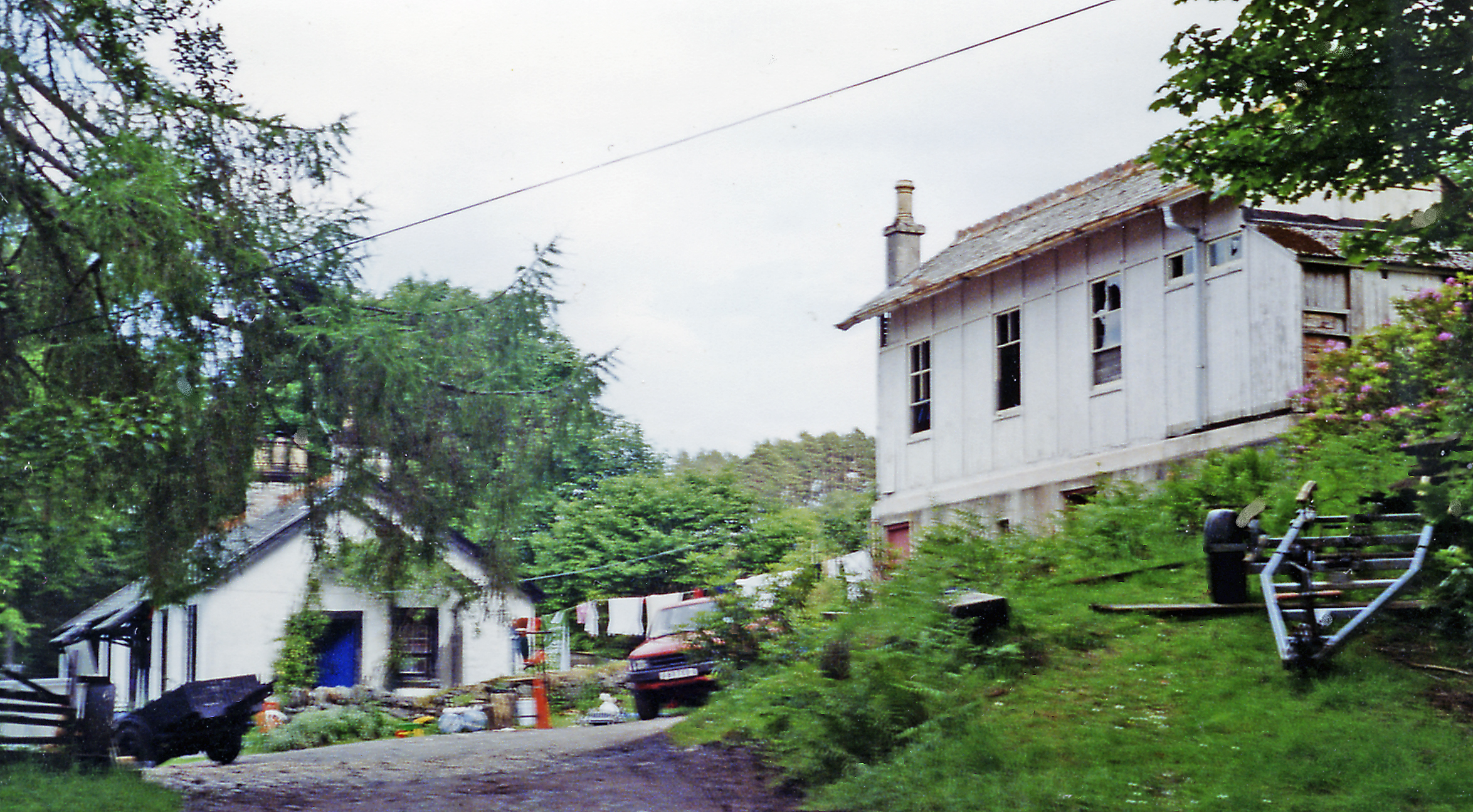
Abbot's Isle Images

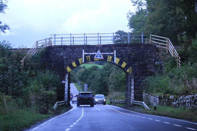
Images are sourced within 2km of 56.456701/-5.3230105 or Grid Reference NM9534. Thanks to Geograph Open Source API. All images are credited.

View across Loch Etive Eilean Traighe in the distance
View across Loch Etive
Eilean Traighe in the distance
Railway bridge at Stonefield The railway crosses the A85 at Stonefield.
Railway bridge at Stonefield
The railway crosses the A85 at Stonefield.
Ardchattan church
Ardchattan church
A85 east of Connel
A85 east of Connel
Minor road near Achnacloich
Loch Etive at Rubha Charsalich
Shored of Loch Etive by Rubha Charsalich
Foxgloves beside Loch Etive
Looking across Loch Etive from Rubha Charsalich
Hillside by Baile Mhaodain
Loch Etive shore towards Rubha Charsalich
Ardchattan Priory Piscina C15th Ardchattan Priory was established in 1230 or 1231 probably by Duncan MacDougall. Their monastic life came to an end here with the reformation of 1560.

From 1545 the priory was administered by a commendator, John Campbell, who passed it on to his son, Alexander, in 1580, and they have remained with Clan Campbell since.

<span class="nowrap"><a title="https://www.historicenvironment.scot/visit-a-place/places/ardchattan-priory/" rel="nofollow ugc noopener" href="https://www.historicenvironment.scot/visit-a-place/places/ardchattan-priory/">Link</a><img style="margin-left:2px;" alt="External link" title="External link - shift click to open in new window" src="https://s1.geograph.org.uk/img/external.png" width="10" height="10"/></span>

<span class="nowrap"><a title="https://en.wikipedia.org/wiki/Ardchattan_Priory" rel="nofollow ugc noopener" href="https://en.wikipedia.org/wiki/Ardchattan_Priory">Link</a><img style="margin-left:2px;" alt="External link" title="External link - shift click to open in new window" src="https://s1.geograph.org.uk/img/external.png" width="10" height="10"/></span>
Ardchattan Priory Piscina C15th
Ardchattan Priory was established in 1230 or 1231 probably by Duncan MacDougall. Their monastic life came to an end here with the reformation of 1560. From 1545 the priory was administered by a commendator, John Campbell, who passed it on to his son, Alexander, in 1580, and they have remained with Clan Campbell since. LinkExternal link LinkExternal link
Ardchattan Carved Grave Slabs C10th
The MacDougall Cross C16th The MacDougall Cross is among the grave markers and carved stones on display. It was commissioned by Prior Eugenius MacDougall in 1500, and carved by John Ó Brolchán, one of an Irish stone-carving family who also carried out work at Iona Abbey. It is one of the few examples of West Highland carving recording the sculptor’s name. The cross depicts:

A crucifixion scene
The Virgin and Child

<span class="nowrap"><a title="https://www.historicenvironment.scot/visit-a-place/places/ardchattan-priory/history/" rel="nofollow ugc noopener" href="https://www.historicenvironment.scot/visit-a-place/places/ardchattan-priory/history/">Link</a><img style="margin-left:2px;" alt="External link" title="External link - shift click to open in new window" src="https://s1.geograph.org.uk/img/external.png" width="10" height="10"/></span>
The MacDougall Cross C16th
The MacDougall Cross is among the grave markers and carved stones on display. It was commissioned by Prior Eugenius MacDougall in 1500, and carved by John Ó Brolchán, one of an Irish stone-carving family who also carried out work at Iona Abbey. It is one of the few examples of West Highland carving recording the sculptor’s name. The cross depicts: A crucifixion scene The Virgin and Child LinkExternal link
Ardchattan Church Built in 1836, the church is striking in appearance and comprises: Nave, east transept, west transept, vestry, hall, WC and gallery area above. The church is situated between Ardchattan and North Connel, in Argyll & Bute.
Ardchattan Church
Built in 1836, the church is striking in appearance and comprises: Nave, east transept, west transept, vestry, hall, WC and gallery area above. The church is situated between Ardchattan and North Connel, in Argyll & Bute.
Foreshore, Loch Etive
Arch Bridge, Stonefield
Rough Pasture near Stonefield
Show me another place!

Abbot's Isle is located at Grid Ref: NM9534 (Lat: 56.456701, Lng: -5.3230105)

Unitary Authority: Argyll and Bute

Police Authority: Argyll and West Dunbartonshire

What 3 Words

///sprinter.detect.hung. Near Oban, Argyll & Bute

Related Wikis

Ach-na-Cloich railway station

Ach-na-Cloich is a closed railway station located on the south shore of Loch Etive, in Argyll and Bute. Its site is located on the Oban route of the scenic...

Ardchattan and Muckairn

Ardchattan and Muckairn is a civil parish within Argyll and Bute in Scotland. It lies north of Oban, bordering Loch Etive and includes Glen Ure, Glen Creran...

Fearnoch

Fearnoch is a small village in Argyll and Bute, Scotland. It is located just off the A85 road, about 2 miles (3 km) west of the village of Taynuilt....

Connel Ferry railway station

Connel Ferry railway station is a railway station serving the village of Connel in western Scotland. This station is on the Oban branch of the West Highland...

Nearby Amenities

Located within 500m of 56.456701,-5.3230105
Source: PGS
Lat/Long: 56.4560509/-5.3194137
The data included in this document is from www.openstreetmap.org. The data is made available under ODbL.

Have you been to Abbot's Isle?

Leave your review of Abbot's Isle below (or comments, questions and feedback).