Ais-sgeir
Island in Ross-shire
Scotland
Ais-sgeir
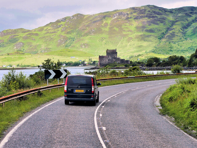
Ais-sgeir is a small, uninhabited island located off the coast of Ross-shire, in the Highland region of Scotland. Also known as Ailsa Craig, this rocky islet measures approximately 99 acres in size and is situated around 10 miles west of the mainland. It lies in the Firth of Clyde, near the mouth of the River Clyde.
The island boasts a rugged, volcanic landscape, characterized by steep cliffs that rise to a height of 338 meters (1,109 feet) at its highest point, making it a distinctive landmark in the area. Its geology is composed mainly of igneous rock, specifically microgranite, which was formed around 400 million years ago.
Due to its remote and challenging location, Ais-sgeir has remained uninhabited throughout history. However, it has been used for various purposes over the years, including seabird hunting and fishing. The island is particularly renowned for its abundant birdlife, hosting large colonies of seabirds, including guillemots, razorbills, and gulls. It also serves as an important breeding ground for puffins, with thousands of these colorful birds nesting in its cliffs during the breeding season.
The name Ais-sgeir is of Gaelic origin, meaning "rocky place of the fish." This name accurately reflects the island's rocky terrain and its significance as a fishing spot in the past. Today, Ais-sgeir is primarily a nature reserve, providing a protected habitat for its diverse bird population. It is also a popular destination for birdwatchers and wildlife enthusiasts, who can access the island via boat trips from the nearby mainland towns of Girvan and Ayr.
If you have any feedback on the listing, please let us know in the comments section below.
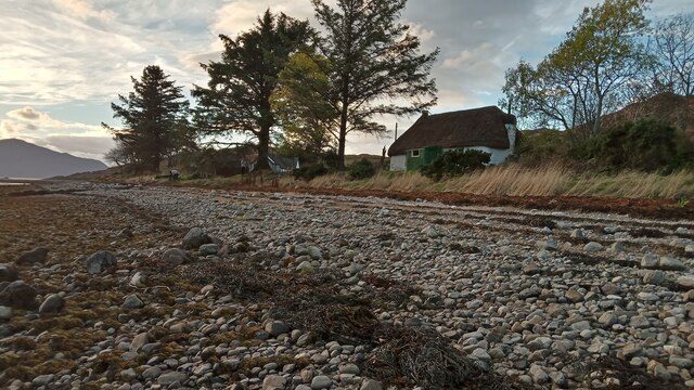
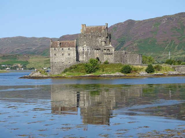
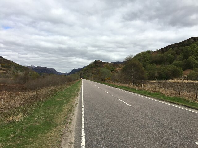
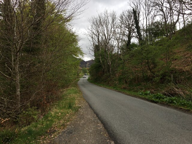
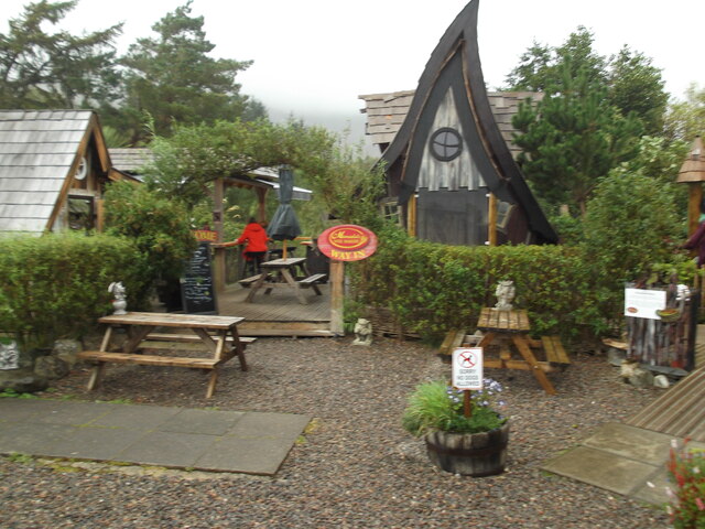
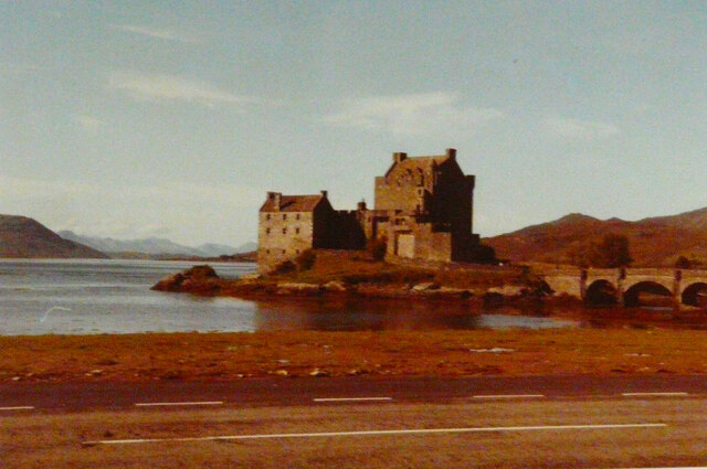
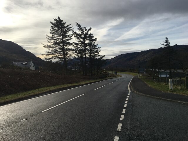
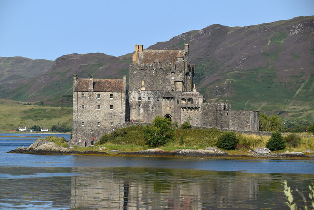
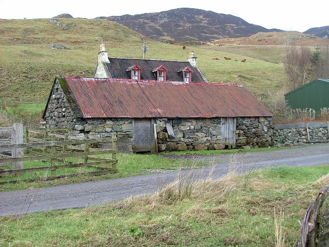
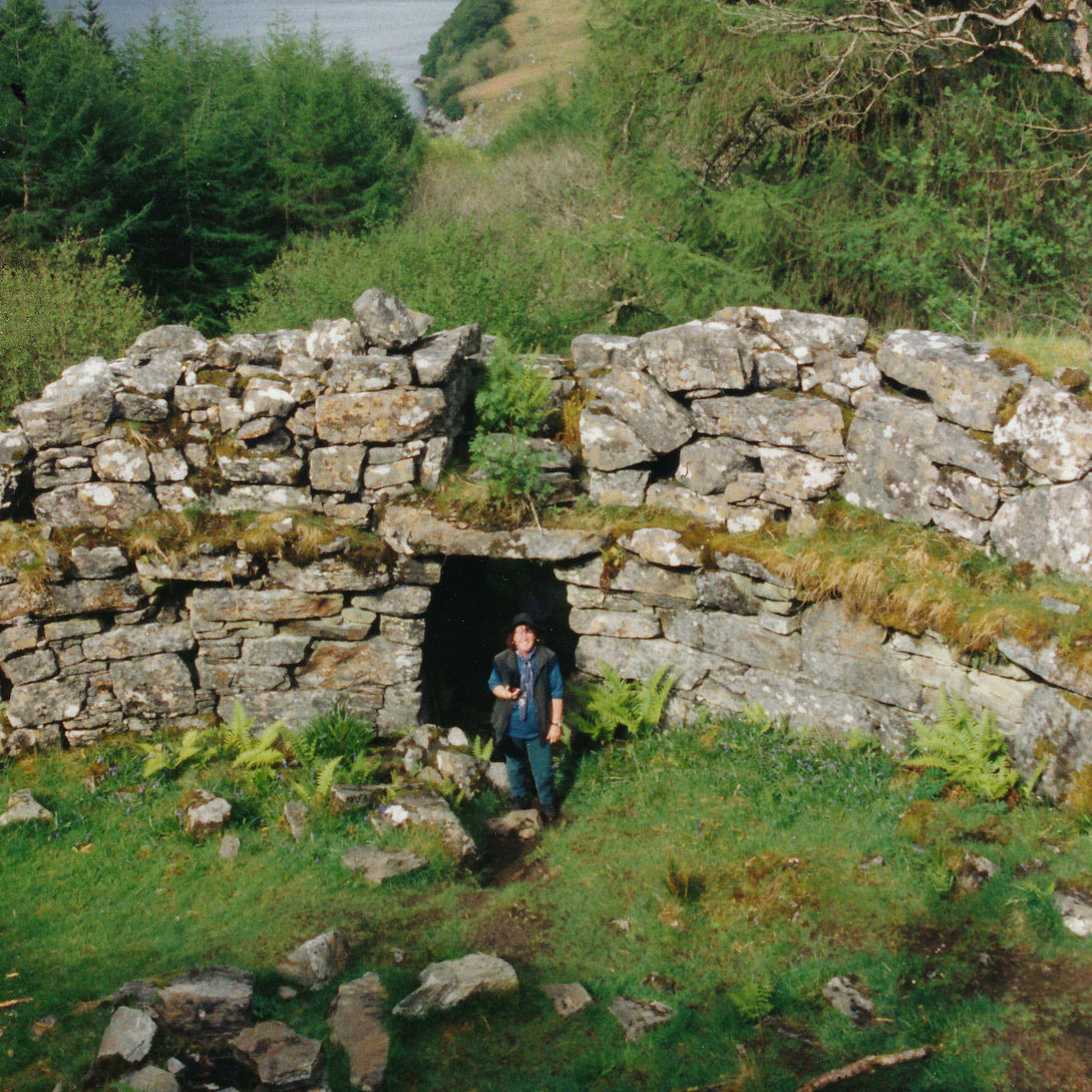
Ais-sgeir Images
Images are sourced within 2km of 57.276114/-5.5486767 or Grid Reference NG8626. Thanks to Geograph Open Source API. All images are credited.


Ais-sgeir is located at Grid Ref: NG8626 (Lat: 57.276114, Lng: -5.5486767)
Unitary Authority: Highland
Police Authority: Highlands and Islands
What 3 Words
///domestic.bagpipes.swift. Near Glenelg, Highland
Nearby Locations
Related Wikis
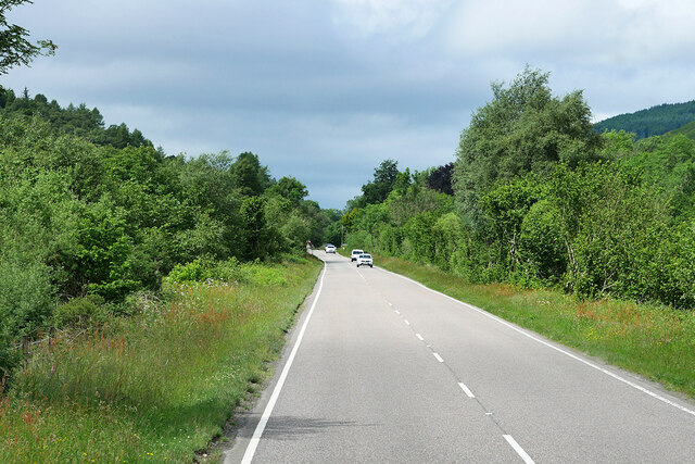
Ardelve
Ardelve (Scottish Gaelic: Àird Eilbh) is a village in Highland, Scotland, on Loch Alsh. It overlooks the Eilean Donan Castle, which is in Dornie, also...

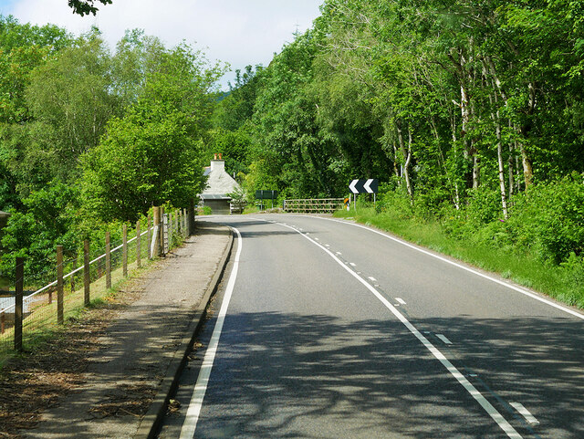
Nostie
Nostie (Scottish Gaelic: Ceann na Mòna) is a small remote hamlet, lying on Nostie Bay, an inlet at the northeastern end of the sea loch, Loch Alsh in the...
Caisteal Grugaig
Caisteal Grugaig (or Dun Totaig) is an Iron Age broch near the eastern end of Loch Alsh in the Scottish Highlands (grid reference NG86682508). == Location... ==

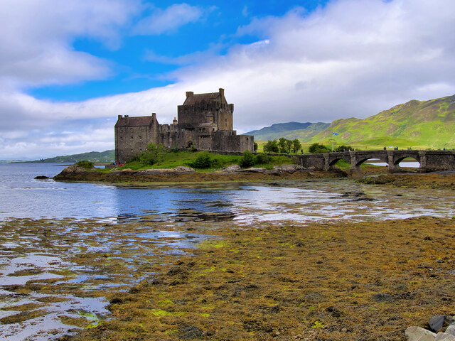
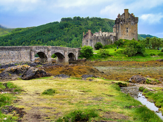
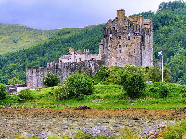
Eilean Donan
Eilean Donan (Scottish Gaelic: Eilean Donnain) is a small tidal island situated at the confluence of three sea lochs (Loch Duich, Loch Long and Loch Alsh...
Nearby Amenities
Located within 500m of 57.276114,-5.5486767Have you been to Ais-sgeir?
Leave your review of Ais-sgeir below (or comments, questions and feedback).