Bedlam
Settlement in Yorkshire Harrogate
England
Bedlam
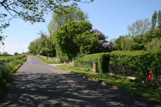
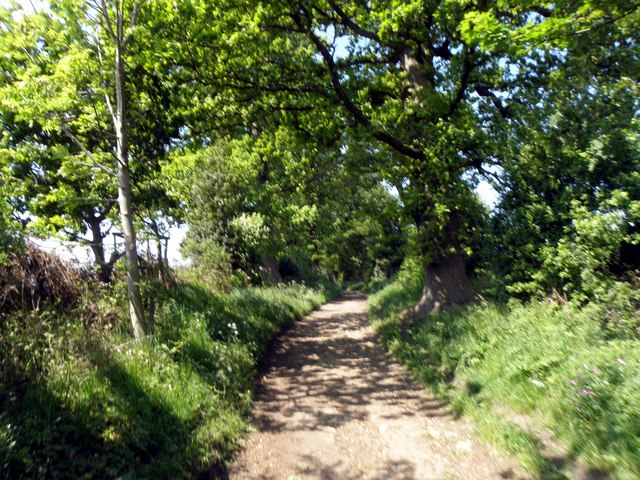
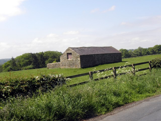
Bedlam is a small village located in the county of Yorkshire, England. Situated in the picturesque Yorkshire Dales, this quaint village is surrounded by rolling hills, lush green meadows, and charming stone cottages. It is part of the larger district of Craven and falls within the civil parish of Giggleswick.
The origins of Bedlam can be traced back to medieval times when it was primarily an agricultural settlement. Today, it remains a predominantly rural area with a population of around 500 residents. The village is known for its strong sense of community and friendly atmosphere.
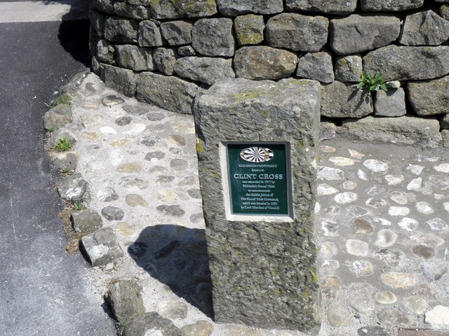
One of the notable landmarks in Bedlam is the St. Mary's Church, a beautiful medieval parish church that stands as a testament to the village's rich history. The church features stunning architectural details and is a popular destination for visitors interested in historical and cultural heritage.
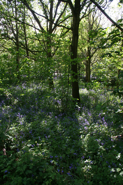
Nature enthusiasts are also drawn to Bedlam due to its close proximity to the Yorkshire Dales National Park. The park offers a range of outdoor activities, including hiking, cycling, and wildlife spotting, making it an ideal destination for those seeking an escape into nature.
While Bedlam may be small in size, it offers a peaceful and idyllic setting for residents and visitors alike. With its charming countryside views, historic buildings, and access to stunning natural landscapes, Bedlam truly encapsulates the beauty of rural Yorkshire.
If you have any feedback on the listing, please let us know in the comments section below.
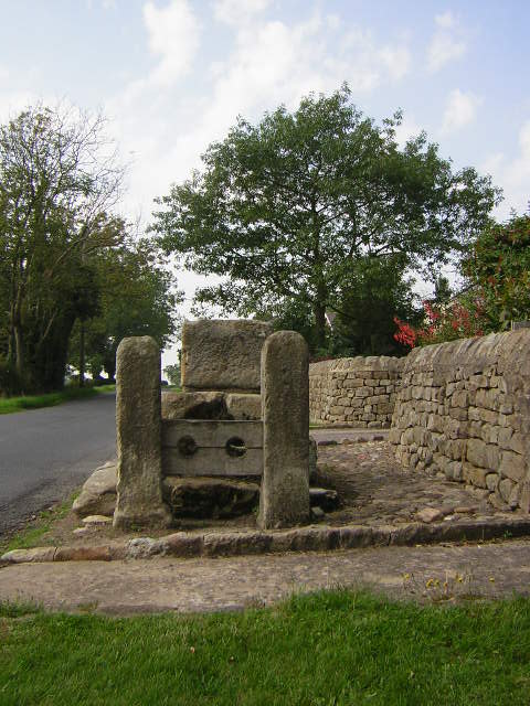
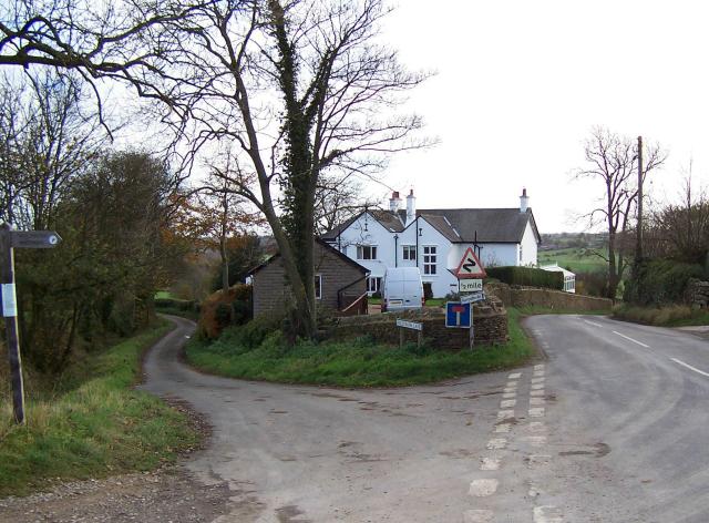
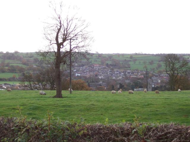
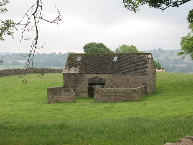
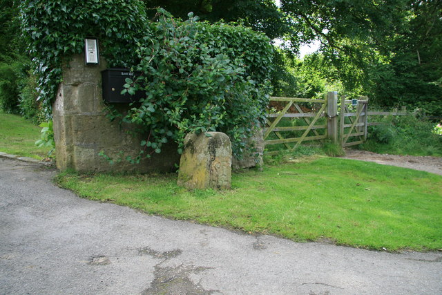
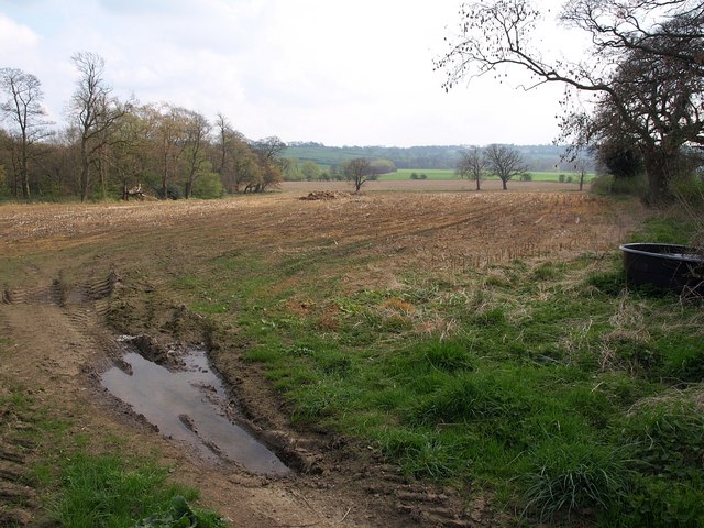
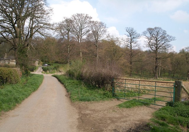
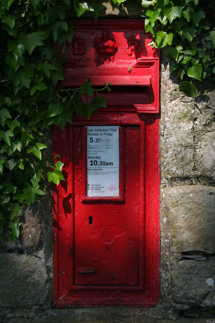
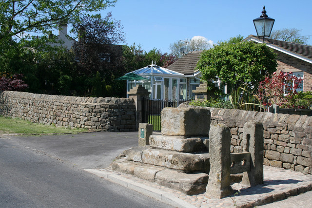
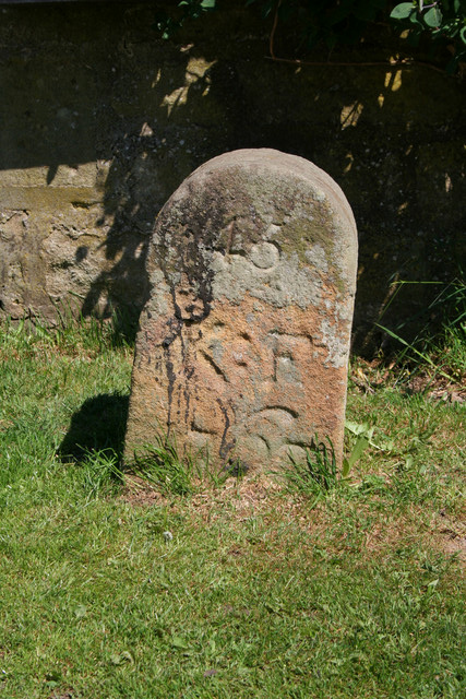
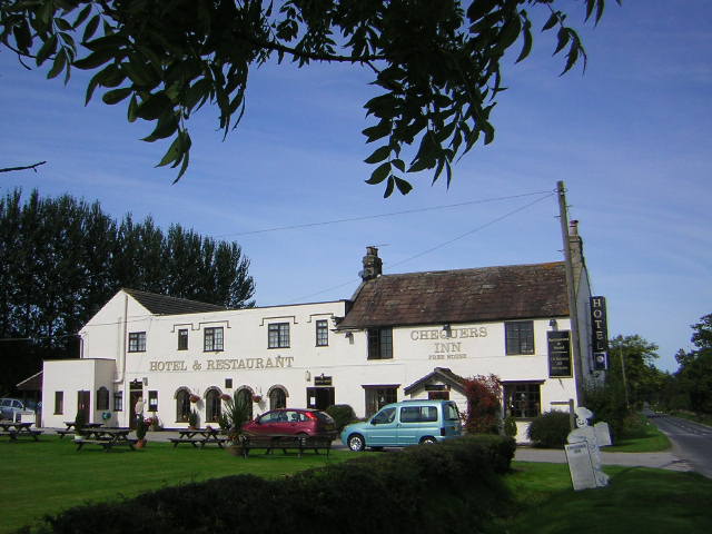
Bedlam Images
Images are sourced within 2km of 54.049315/-1.592314 or Grid Reference SE2661. Thanks to Geograph Open Source API. All images are credited.


Bedlam is located at Grid Ref: SE2661 (Lat: 54.049315, Lng: -1.592314)
Division: West Riding
Administrative County: North Yorkshire
District: Harrogate
Police Authority: North Yorkshire
What 3 Words
///defrost.stiff.alleyway. Near Harrogate, North Yorkshire
Nearby Locations
Related Wikis

Bedlam, North Yorkshire
Bedlam is a small village in the Harrogate district of North Yorkshire, England situated north of Harrogate.Its name most likely came from Old English...

Shaw Mills
Shaw Mills is a hamlet in the civil parish of Bishop Thornton, Shaw Mills and Warsill, in Nidderdale in the Harrogate district, North Yorkshire, England...

Burnt Yates
Burnt Yates is a village in the Borough of Harrogate in North Yorkshire, England. == Community == The village name possibly derived from 'Burnt Gates'...

Ripley, North Yorkshire
Ripley is a town and civil parish in North Yorkshire in England, a few miles north of Harrogate on the A61 road towards Ripon. The town name derives from...

Ripley Castle
Ripley Castle is a Grade I listed 14th-century country house in Ripley, North Yorkshire, England, 3 miles (4.8 km) north of Harrogate.The house is built...

Ripley Town Hall, North Yorkshire
Ripley Town Hall is a municipal building in Main Street, Ripley, North Yorkshire, England. The structure, which is used as an events venue and as a post...
Bishop Thornton
Bishop Thornton is a village in the civil parish of Bishop Thornton, Shaw Mills and Warsill, in the Harrogate district of North Yorkshire, England. According...
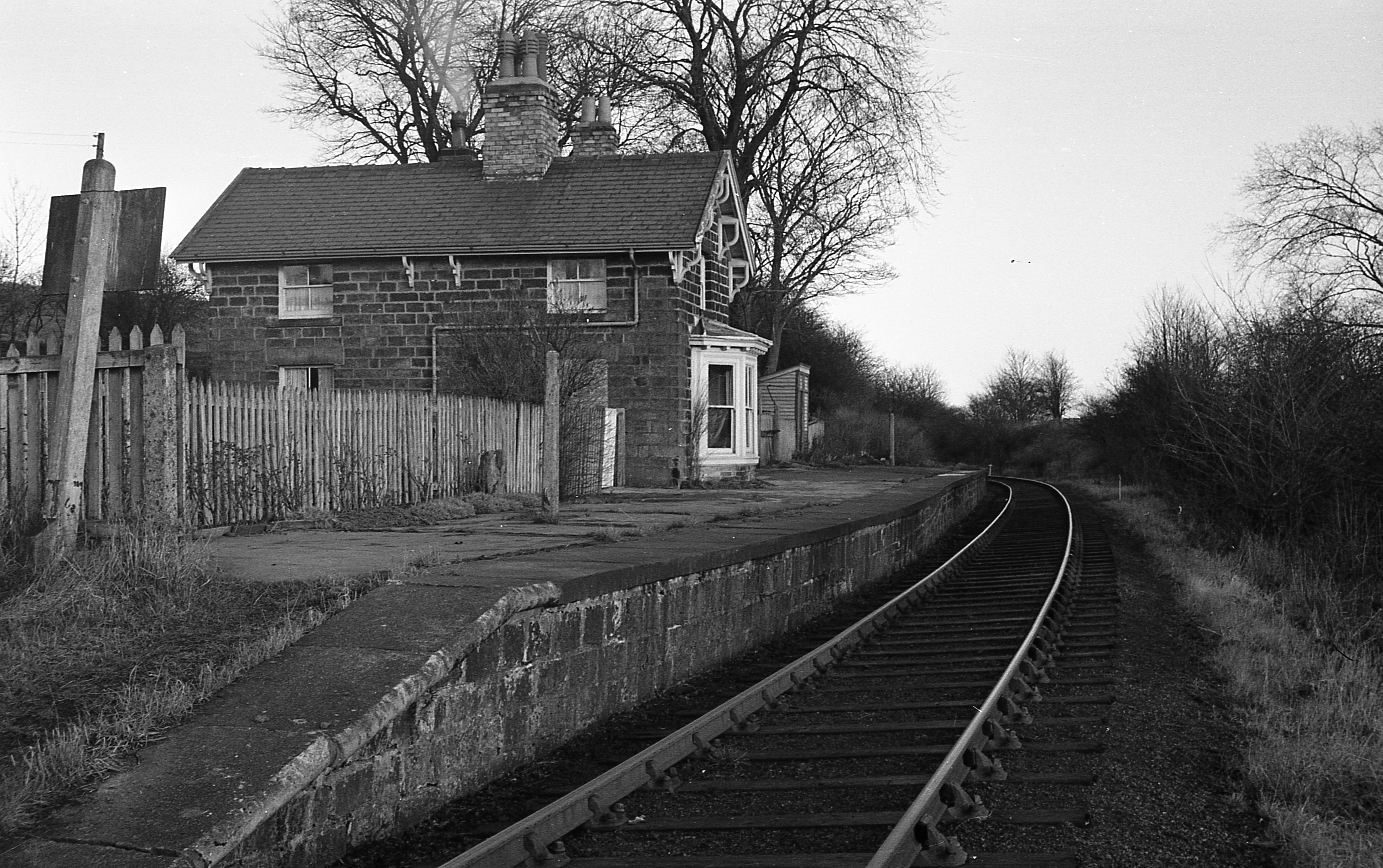
Hampsthwaite railway station
Hampsthwaite railway station served the village of Hampsthwaite, North Yorkshire, England from 1866 to 1950 on the Nidd Valley Railway. == History == The...
Nearby Amenities
Located within 500m of 54.049315,-1.592314Have you been to Bedlam?
Leave your review of Bedlam below (or comments, questions and feedback).