Nostie Islands

Island in Ross-shire

Scotland

Nostie Islands

A87 at Nostie Bridge
A87 at Nostie Bridge Credit: Steven Brown

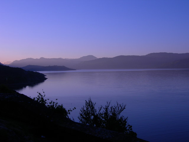
Nostie Islands, located in Ross-shire, Scotland, is a cluster of small islands situated off the western coast of the Scottish Highlands. This archipelago, consisting of three main islands - Nostie, Eilean Darach, and Eilean Dubh, is renowned for its stunning natural beauty and rich wildlife.

Nostie Island, the largest of the three, is a picturesque island that boasts rugged coastlines, sandy beaches, and rolling hills. It is home to a variety of bird species, including puffins, guillemots, and razorbills, making it a popular destination for birdwatching enthusiasts. The island is also abundant in flora, showcasing a vibrant display of wildflowers during the summer months.

Eilean Darach and Eilean Dubh, the smaller islands, offer their own unique charm. Eilean Darach, covered in dense woodland, provides a tranquil escape for nature lovers, with its rich biodiversity including red squirrels and various species of birds. Eilean Dubh, on the other hand, is a rocky island known for its dramatic cliffs and caves, which are frequently visited by seals and seabirds.

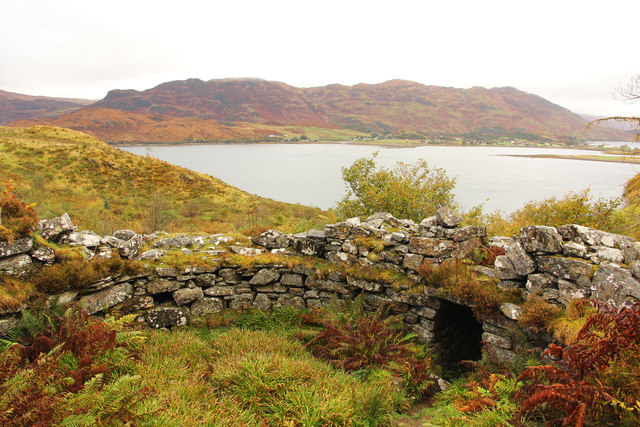
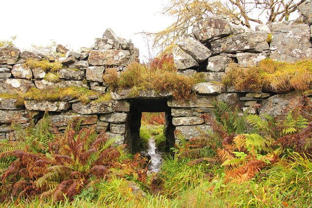
Access to Nostie Islands is primarily by boat, with tours and ferries available from nearby coastal towns such as Kyle of Lochalsh. The islands are a popular destination for outdoor activities such as hiking, kayaking, and wildlife spotting. Visitors can also explore the islands' rich history, with ancient ruins and archaeological sites scattered throughout.

In summary, Nostie Islands in Ross-shire are a captivating and unspoiled natural paradise, offering visitors an opportunity to immerse themselves in the beauty of the Scottish Highlands, discover diverse wildlife, and explore the rich history of the area.

If you have any feedback on the listing, please let us know in the comments section below.

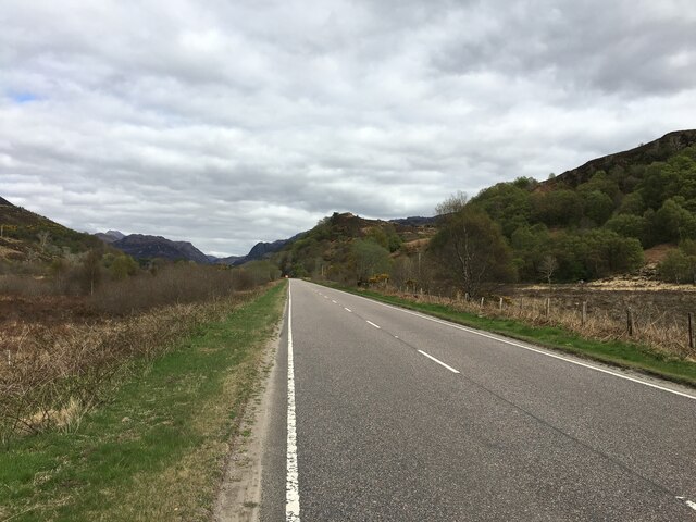
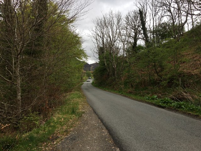
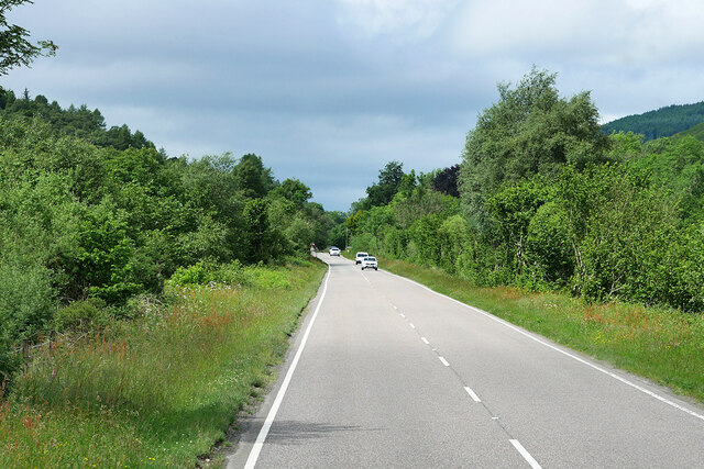
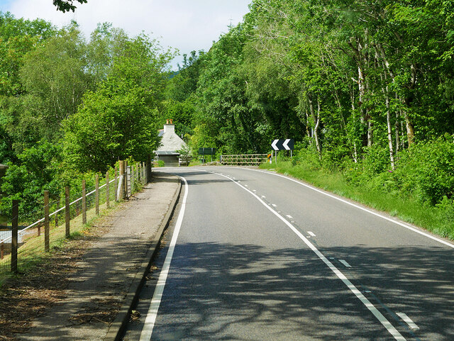
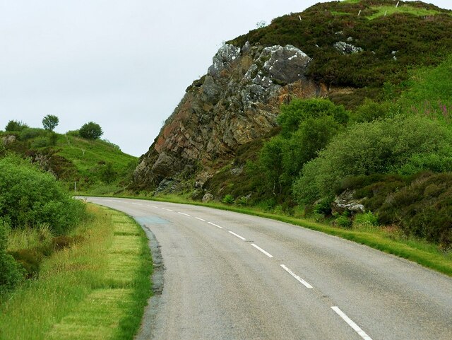
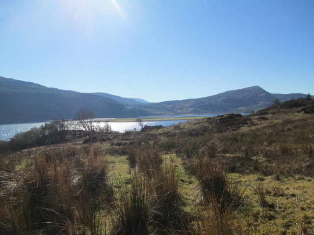
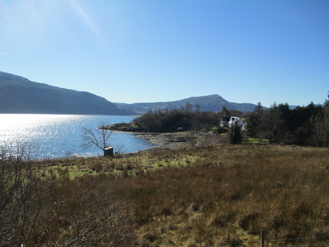
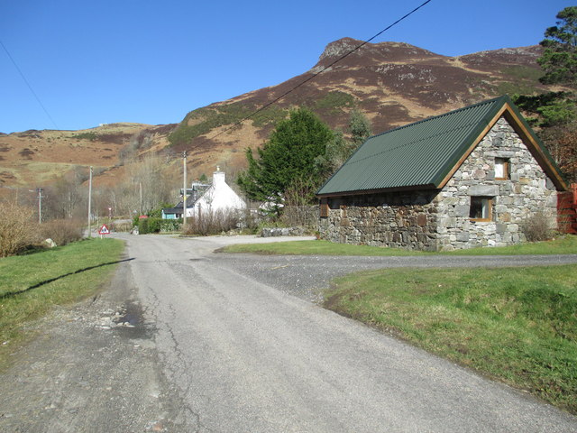
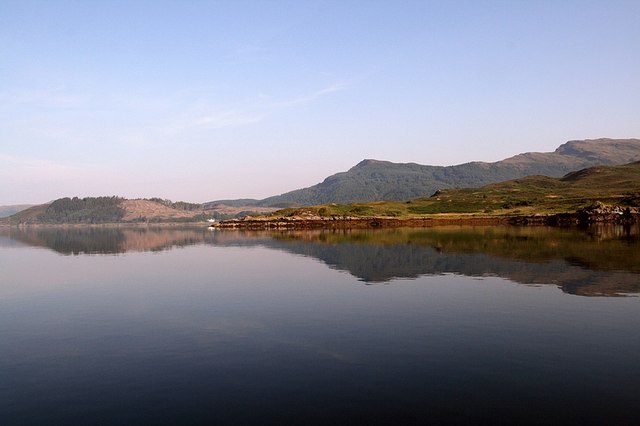
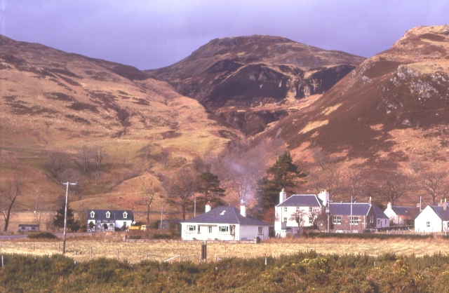
Nostie Islands Images

Images are sourced within 2km of 57.277638/-5.5608737 or Grid Reference NG8526. Thanks to Geograph Open Source API. All images are credited.

A87 at Nostie Bridge
A87 near Ardelve
A87 near Ardelve
Minor road to Ardelve
Westbound A87 near to Nostie The A87 is a primary route  in the Highland region of Scotland. It runs west for 99 miles from its junction with the A82 at Invergarry, along the north shores of Loch Garry and Loch Cluanie, then through Glen Shiel and along Loch Duich to Kyle of Lochalsh before crossing the Skye Bridge to Kyleakin, Broadford, and Portree, before terminating at Uig in the north of the Isle of Skye.
Westbound A87 near to Nostie
The A87 is a primary route in the Highland region of Scotland. It runs west for 99 miles from its junction with the A82 at Invergarry, along the north shores of Loch Garry and Loch Cluanie, then through Glen Shiel and along Loch Duich to Kyle of Lochalsh before crossing the Skye Bridge to Kyleakin, Broadford, and Portree, before terminating at Uig in the north of the Isle of Skye.
A87 at Nostie Bridge
A87 approaching Junction with A890 The A87 is a primary route  in the Highland region of Scotland. It runs west for 99 miles from its junction with the A82 at Invergarry, along the north shores of Loch Garry and Loch Cluanie, then through Glen Shiel and along Loch Duich to Kyle of Lochalsh before crossing the Skye Bridge to Kyleakin, Broadford, and Portree, before terminating at Uig in the north of the Isle of Skye.
A87 approaching Junction with A890
The A87 is a primary route in the Highland region of Scotland. It runs west for 99 miles from its junction with the A82 at Invergarry, along the north shores of Loch Garry and Loch Cluanie, then through Glen Shiel and along Loch Duich to Kyle of Lochalsh before crossing the Skye Bridge to Kyleakin, Broadford, and Portree, before terminating at Uig in the north of the Isle of Skye.
A87, Auchtertyre The A87 is a primary route  in the Highland region of Scotland. It runs west for 99 miles from its junction with the A82 at Invergarry, along the north shores of Loch Garry and Loch Cluanie, then through Glen Shiel and along Loch Duich to Kyle of Lochalsh before crossing the Skye Bridge to Kyleakin, Broadford, and Portree, before terminating at Uig in the north of the Isle of Skye.
A87, Auchtertyre
The A87 is a primary route in the Highland region of Scotland. It runs west for 99 miles from its junction with the A82 at Invergarry, along the north shores of Loch Garry and Loch Cluanie, then through Glen Shiel and along Loch Duich to Kyle of Lochalsh before crossing the Skye Bridge to Kyleakin, Broadford, and Portree, before terminating at Uig in the north of the Isle of Skye.
A890 above Auchtertyre After leaving the A87 at Auchtertyre, the A890 rises steeply through the rocky terrain.
A890 above Auchtertyre
After leaving the A87 at Auchtertyre, the A890 rises steeply through the rocky terrain.
A890, Gleann Udalain The A890 is a non-primary cross-country route in sparsely populated, mountainous terrain from Lochalsh and Skye on the west coast of the Highlands to Achnasheen where it joins the A832 to Inverness. Like many Highland roads, the A890 was entirely single track until the 1960s, but road improvements in recent years (along with improvements on the A832) have made it increasingly popular as an alternative route between Inverness and the Isle of Skye, avoiding the A82 along Loch Ness. It is also an important route for residents of the Lochalsh, Applecross and Strathcarron areas, connecting them to the services of  Kyle of Lochalsh , as well as the High School in Plockton.
A890, Gleann Udalain
The A890 is a non-primary cross-country route in sparsely populated, mountainous terrain from Lochalsh and Skye on the west coast of the Highlands to Achnasheen where it joins the A832 to Inverness. Like many Highland roads, the A890 was entirely single track until the 1960s, but road improvements in recent years (along with improvements on the A832) have made it increasingly popular as an alternative route between Inverness and the Isle of Skye, avoiding the A82 along Loch Ness. It is also an important route for residents of the Lochalsh, Applecross and Strathcarron areas, connecting them to the services of Kyle of Lochalsh , as well as the High School in Plockton.
A87 at Auchtertyre
A87 at Auchtertyre
The A890 near Loch Alsh. 1966 Then a single carriageway road, photographed from a Passing place whilst waiting for a vehicle coming up hill. Note the white post near the centre of the picture, this marks the next passing place.
The A890 near Loch Alsh. 1966
Then a single carriageway road, photographed from a Passing place whilst waiting for a vehicle coming up hill. Note the white post near the centre of the picture, this marks the next passing place.
Loch Alsh from Avernish
Nostie Bay
Nostie Bay
Village of Auchtertyre Telephoto of Auchtertyre and the trading estate from the south flank of Maol Beag
Village of Auchtertyre
Telephoto of Auchtertyre and the trading estate from the south flank of Maol Beag
Loch Alsh in early morning light
Caisteal Grugaig Ruins of an Iron Age broch with Loch Duig beyond
Caisteal Grugaig
Ruins of an Iron Age broch with Loch Duig beyond
Caisteal Grugaig Entrance to Caisteal Grugaig broch <a title="https://www.geograph.org.uk/photo/5580350" href="https://www.geograph.org.uk/photo/5580350">Link</a>
Caisteal Grugaig
Entrance to Caisteal Grugaig broch Link
Show me another place!

Nostie Islands is located at Grid Ref: NG8526 (Lat: 57.277638, Lng: -5.5608737)

Unitary Authority: Highland

Police Authority: Highlands and Islands

What 3 Words

///clincher.elaborate.film. Near Glenelg, Highland

Related Wikis

Nostie

Nostie (Scottish Gaelic: Ceann na Mòna) is a small remote hamlet, lying on Nostie Bay, an inlet at the northeastern end of the sea loch, Loch Alsh in the...

Ardelve

Ardelve (Scottish Gaelic: Àird Eilbh) is a village in Highland, Scotland, on Loch Alsh. It overlooks the Eilean Donan Castle, which is in Dornie, also...

Avernish

Avernish (Scottish Gaelic: Abhairnis) is a small, scenic, rural community located in the Highlands of Scotland. Nearby attractions include The Eilean...

Auchtertyre

Auchtertyre (Scottish Gaelic: Uachdar Thìre, "Upper Land") is a village, lying half a mile from the north shore of Loch Alsh near Kyle of Lochalsh, in...

Nearby Amenities

Located within 500m of 57.277638,-5.5608737
Created By: almien_coastlines
Source: PGS
Lat/Long: 57.275838/-5.567986
Created By: almien_coastlines
Source: PGS
Lat/Long: 57.275867/-5.56657
Created By: almien_coastlines
Source: PGS
Lat/Long: 57.276384/-5.56637
Created By: almien_coastlines
Source: PGS
Lat/Long: 57.276516/-5.566142
Created By: almien_coastlines
Source: PGS
Lat/Long: 57.276649/-5.565916
Created By: almien_coastlines
Source: PGS
Lat/Long: 57.277677/-5.56575
Created By: almien_coastlines
Source: PGS
Lat/Long: 57.277706/-5.564334
Created By: almien_coastlines
Source: PGS
Lat/Long: 57.278222/-5.564134
Created By: almien_coastlines
Source: PGS
Lat/Long: 57.278355/-5.563906
Created By: almien_coastlines
Source: PGS
Lat/Long: 57.278488/-5.563679
Created By: almien_coastlines
Source: PGS
Lat/Long: 57.27862/-5.563451
Created By: almien_coastlines
Source: PGS
Lat/Long: 57.278753/-5.563225
Created By: almien_coastlines
Source: PGS
Lat/Long: 57.279269/-5.563024
Source: PGS
Lat/Long: 57.2796263/-5.5621693
Source: PGS
Lat/Long: 57.2799121/-5.5609865
Source: PGS
Lat/Long: 57.2800417/-5.5596159
Source: PGS
Lat/Long: 57.2790069/-5.5594919
Source: PGS
Lat/Long: 57.2780995/-5.5608895
Created By: almien_coastlines
Source: PGS
Lat/Long: 57.277635/-5.561492
Created By: almien_coastlines
Source: PGS
Lat/Long: 57.277399/-5.560529
Created By: almien_coastlines
Source: PGS
Lat/Long: 57.277291/-5.559576
Created By: almien_coastlines
Source: PGS
Lat/Long: 57.277797/-5.559849
Source: PGS
Lat/Long: 57.2781648/-5.559192
Source: PGS
Lat/Long: 57.2779239/-5.5586182
Source: PGS
Lat/Long: 57.2774169/-5.5584561
Created By: almien_coastlines
Source: PGS
Lat/Long: 57.27721/-5.557206
Created By: almien_coastlines
Source: PGS
Lat/Long: 57.277088/-5.556962
Created By: almien_coastlines
Source: PGS
Lat/Long: 57.276964/-5.556716
Created By: almien_coastlines
Source: PGS
Lat/Long: 57.276728/-5.555754
Created By: almien_coastlines
Source: PGS
Lat/Long: 57.276757/-5.554337
Created By: almien_coastlines
Source: PGS
Lat/Long: 57.276766/-5.553865
The data included in this document is from www.openstreetmap.org. The data is made available under ODbL.

Have you been to Nostie Islands?

Leave your review of Nostie Islands below (or comments, questions and feedback).