Sgeir an t-Sàilein

Island in Argyllshire

Scotland

Sgeir an t-Sàilein

B8045, Lismore
B8045, Lismore Credit: Richard Webb

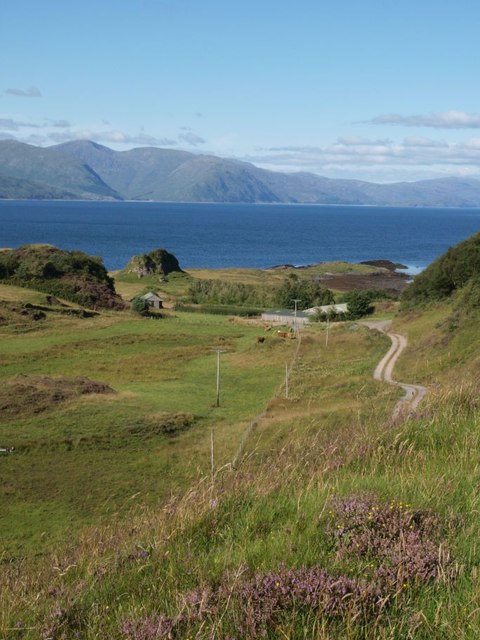
Sgeir an t-Sàilein is a small, uninhabited island located off the west coast of Scotland in Argyllshire. It is situated in the Sound of Mull, between the mainland and the Isle of Mull. The island is approximately 1 kilometer long and 500 meters wide, with a total area of around 25 hectares.

Sgeir an t-Sàilein is characterized by its rugged and rocky landscape, with cliffs rising up to 50 meters in height. The island is predominantly composed of basalt and has a distinct volcanic origin. Its name translates to "the island skerry" in English, referencing its rocky nature.

The island is known for its rich biodiversity, particularly in terms of birdlife. It serves as an important nesting and breeding ground for various seabird species, including razorbills, guillemots, and kittiwakes. In addition, the surrounding waters are home to a variety of marine animals, such as seals and porpoises.

Due to its remote location and lack of human presence, Sgeir an t-Sàilein offers a peaceful and undisturbed environment for wildlife. It is often visited by birdwatchers and nature enthusiasts, who come to appreciate its natural beauty and observe the diverse range of species that inhabit the island.

Access to Sgeir an t-Sàilein is primarily by boat, and visitors are advised to take precautions and respect the fragile ecosystem while exploring the island. It is a protected area, designated as a Site of Special Scientific Interest, ensuring the preservation and conservation of its unique natural features.

If you have any feedback on the listing, please let us know in the comments section below.

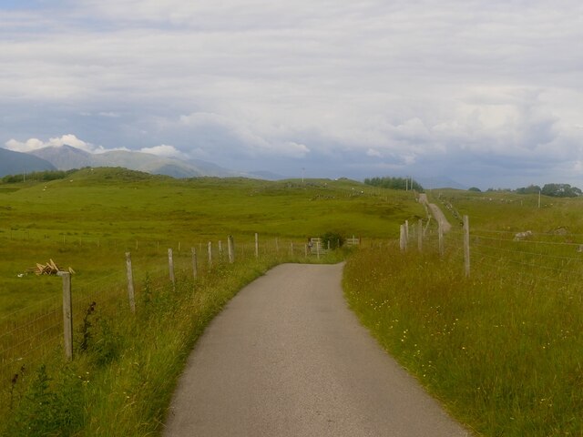
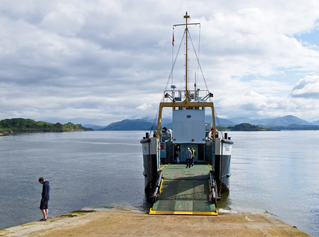
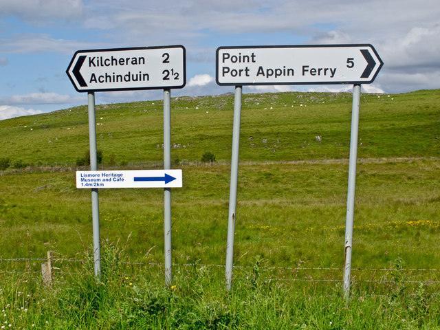
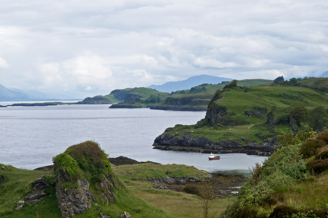
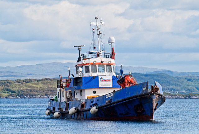
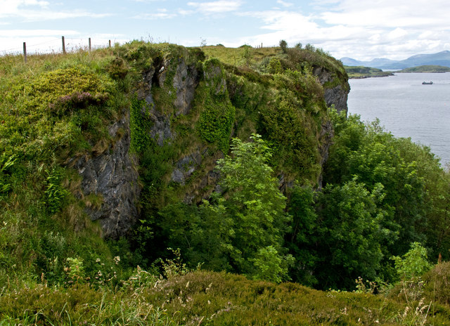
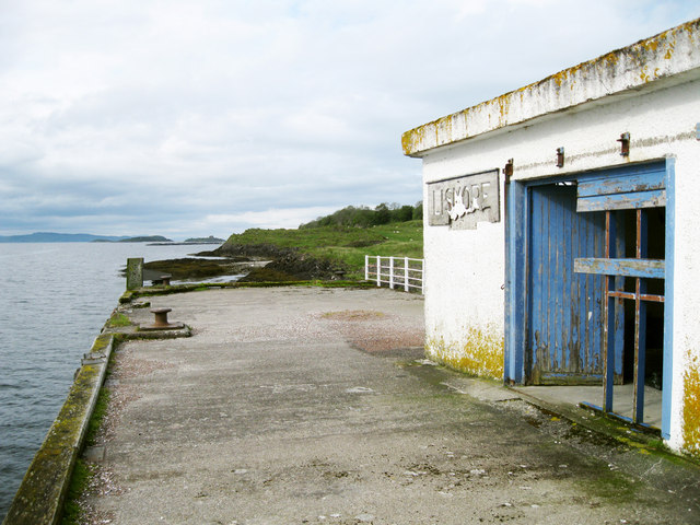
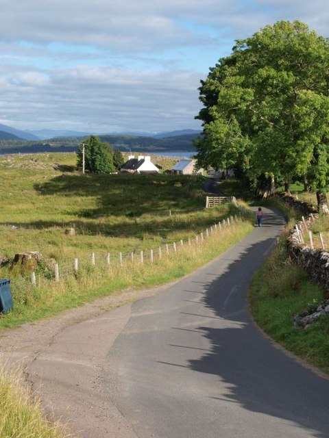
Sgeir an t-Sàilein Images

Images are sourced within 2km of 56.519774/-5.514574 or Grid Reference NM8341. Thanks to Geograph Open Source API. All images are credited.

B8045, Lismore
B8045, Lismore
Calmac ferry MV Eigg at Achnacroish The Calmac ferry Eigg at Achnacroish, Lismore after unloading vehicles and passengers from an Oban sailing. The Eigg was launched in 1974, and has provided a ferry service to the Isle of Lismore for many years.
Calmac ferry MV Eigg at Achnacroish
The Calmac ferry Eigg at Achnacroish, Lismore after unloading vehicles and passengers from an Oban sailing. The Eigg was launched in 1974, and has provided a ferry service to the Isle of Lismore for many years.
Road signs, Lismore
Road signs, Lismore
Lismore western coastline A view over the western coastline of the Island of Lismore. Largely composed of Dalradian limestone, Lismore is surrounded by raised beaches backed by cliffs. The island overlies the Great Glen fault line, and earth tremors occur here occasionally.
Lismore western coastline
A view over the western coastline of the Island of Lismore. Largely composed of Dalradian limestone, Lismore is surrounded by raised beaches backed by cliffs. The island overlies the Great Glen fault line, and earth tremors occur here occasionally.
The Headcorn at Achnacroish harbour The Headcorn (Clovelly Class A 1766), a work/dive boat approaching the pier at Achnacroish, Lismore. Headcorn is 24.4 metres in length and was launched in 1972.
The Headcorn at Achnacroish harbour
The Headcorn (Clovelly Class A 1766), a work/dive boat approaching the pier at Achnacroish, Lismore. Headcorn is 24.4 metres in length and was launched in 1972.
Cliffs on the Isle of Lismore
Old steamer pier, Achnacroish The old pier, with its faded 'Lismore' sign, is no longer used; the car ferry from Oban uses the adjacent slipway. According to a plaque on the wall, it was built in 1880 by contractors A & K Macdonald and J Goodwin & Co, with John Strainge as engineer.
Old steamer pier, Achnacroish
The old pier, with its faded 'Lismore' sign, is no longer used; the car ferry from Oban uses the adjacent slipway. According to a plaque on the wall, it was built in 1880 by contractors A & K Macdonald and J Goodwin & Co, with John Strainge as engineer.
Achnacroish harbour, Lismore The slipway for the Oban ferry is at the left. The disused pier seen in other images (e.g. <a href="https://www.geograph.org.uk/photo/951880">NM8540 : Approaching Achnacroish pier</a>) is just off the right of the picture. In the distance one sees mountains on the mainland: Ben Starav, Beinn a'Bheitheir and summits between.
Achnacroish harbour, Lismore
The slipway for the Oban ferry is at the left. The disused pier seen in other images (e.g. NM8540 : Approaching Achnacroish pier) is just off the right of the picture. In the distance one sees mountains on the mainland: Ben Starav, Beinn a'Bheitheir and summits between.
Road to Achnacroish The picture looks east along the road that runs from the 'main' road along the spine of Lismore, to the terminal for the Oban ferry at Achnacroish.
Road to Achnacroish
The picture looks east along the road that runs from the 'main' road along the spine of Lismore, to the terminal for the Oban ferry at Achnacroish.
Road to Balnagown The 'main' road, that runs the length of Lismore, runs left to right across the picture. To the left side we see the junction with the road that runs to Balnagown (and comes to an end there). The photo was taken from just in front of the cafe at the Lismore historical museum.
Road to Balnagown
The 'main' road, that runs the length of Lismore, runs left to right across the picture. To the left side we see the junction with the road that runs to Balnagown (and comes to an end there). The photo was taken from just in front of the cafe at the Lismore historical museum.
Road to Salen The track to the right-hand side goes to Salen, where a disused limestone quarry lies just out of sight.
Road to Salen
The track to the right-hand side goes to Salen, where a disused limestone quarry lies just out of sight.
Wooded ridge Many rocky ridges run along the length of Lismore, this one covered in trees.
Wooded ridge
Many rocky ridges run along the length of Lismore, this one covered in trees.
Monument to Waverley Arthur Cameron On the east coast of Lismore this monument commemorates the drowning of Waverley Arthur Cameron in a yachting accident off the shore here on 4 June 1891. It was erected by his father, Duncan Cameron, founder of the Oban Times. Waverley Cameron was editor of the Oban Times at the time of the accident.
Monument to Waverley Arthur Cameron
On the east coast of Lismore this monument commemorates the drowning of Waverley Arthur Cameron in a yachting accident off the shore here on 4 June 1891. It was erected by his father, Duncan Cameron, founder of the Oban Times. Waverley Cameron was editor of the Oban Times at the time of the accident.
Lismore east coast The picture looks along the line of low cliffs with Appin in the distance on the mainland. Such low cliffs are typical of the east coast of Lismore.
Lismore east coast
The picture looks along the line of low cliffs with Appin in the distance on the mainland. Such low cliffs are typical of the east coast of Lismore.
Lismore Heritage Centre Unfortunately closed for the winter, the centre was opened in 2007.  Further information is available here: <span class="nowrap"><a title="http://www.celm.org.uk/index.htm" rel="nofollow ugc noopener" href="http://www.celm.org.uk/index.htm">Link</a><img style="margin-left:2px;" alt="External link" title="External link - shift click to open in new window" src="https://s1.geograph.org.uk/img/external.png" width="10" height="10"/></span>
Lismore Heritage Centre
Unfortunately closed for the winter, the centre was opened in 2007. Further information is available here: LinkExternal link
Boggy Ground A patch of roadside marshland near Balliveolan.
Boggy Ground
A patch of roadside marshland near Balliveolan.
A Small Plantation A small Larch plantation at Baligrundle.
A Small Plantation
A small Larch plantation at Baligrundle.
Loch Baile a'Ghobhainn
Show me another place!

Sgeir an t-Sàilein is located at Grid Ref: NM8341 (Lat: 56.519774, Lng: -5.514574)

Unitary Authority: Argyll and Bute

Police Authority: Argyll and West Dunbartonshire

What 3 Words

///organist.edgy.upcoming. Near Oban, Argyll & Bute

Related Wikis

Lismore, Scotland

Lismore (Scottish Gaelic: Lios Mòr, pronounced [ʎis̪ ˈmoːɾ] possibly meaning "great enclosure" or "garden") is an island of some 2,351 hectares (9.1 square...

Achnacroish

Achnacroish (Scottish Gaelic: Achadh na Croise) is a hamlet on the Scottish island of Lismore. The harbour serves the ferry between Lismore and Oban.The...

Castle Coeffin

Castle Coeffin is a ruin on the island of Lismore, an island in Loch Linnhe, in Argyll, on the west coast of Scotland. It stands on a promontory on the...

St Moluag's Cathedral, Lismore

St Moluag's Cathedral is located on the Scottish island of Lismore just off the coast of Oban. As a congregation of the Church of Scotland, which is Presbyterian...

Tirefour Castle

Tirefour Castle, (or Tirefour Broch, also spelled Tirfuir and Tirrefour) is an Iron Age broch located 4 kilometres north of Achnacroish on the island of...

Lismore Seminary

Lismore Seminary was situated in Kilcheran House on the island of Lismore in the Inner Hebrides part of Argyll, Scotland. It served as a seminary for the...

Creag Island

Creag Island is an island in Scotland. It is located in Argyll and Bute council area, in the northwestern part of the country, 600 km northwest of the...

Achanduin Castle

Achanduin Castle, (also known as Achadun Castle and Acha-Dun), is a castle, now in ruins, located about 5.0 kilometres (3.1 mi) west of Achnacroish on...

Nearby Amenities

Located within 500m of 56.519774,-5.514574
Balliveolan
Name Gd: Baile Bheòlain
Place: hamlet
Lat/Long: 56.5193175/-5.5082637
Sloc Mnài Mhic-a-Mhir
Natural: bay
Lat/Long: 56.5216989/-5.5102991
Sgeir an t-Sàilein
Natural: cape
Lat/Long: 56.5194854/-5.5152558
The data included in this document is from www.openstreetmap.org. The data is made available under ODbL.

Have you been to Sgeir an t-Sàilein?

Leave your review of Sgeir an t-Sàilein below (or comments, questions and feedback).