Sgeir an Teampuill

Island in Argyllshire

Scotland

Sgeir an Teampuill

Limestone and flowers, Druim Mòr A long limestone ridge at the south end of Lismore.
Limestone and flowers, Druim Mòr Credit: Richard Webb

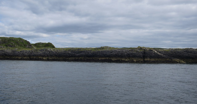
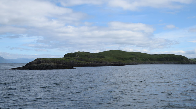
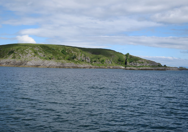
Sgeir an Teampuill is a small uninhabited island located off the coast of Argyllshire, Scotland. Also known as "The Rock of the Church", this island holds significant historical and archaeological value.

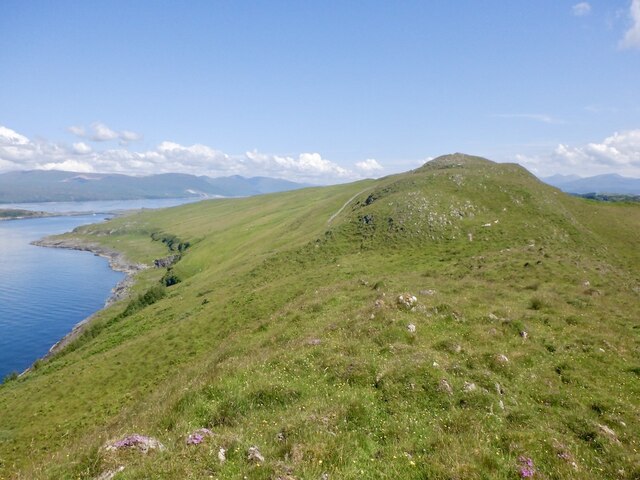
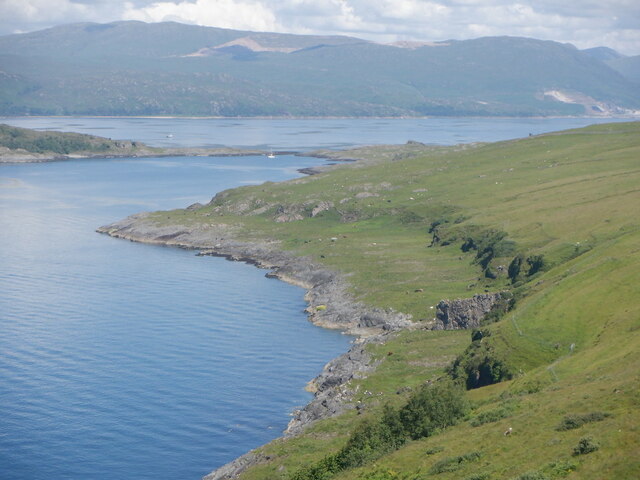
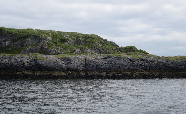
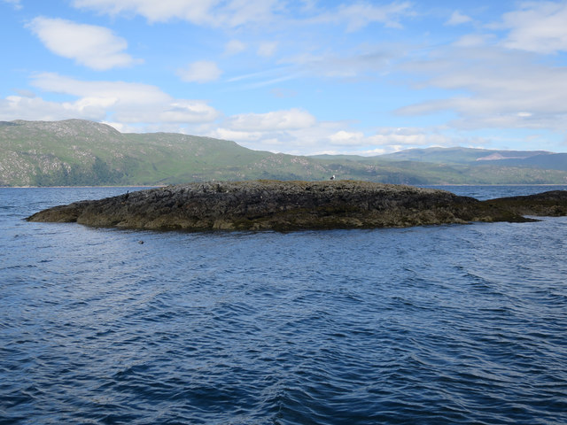
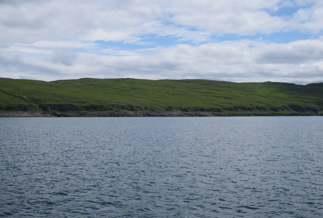
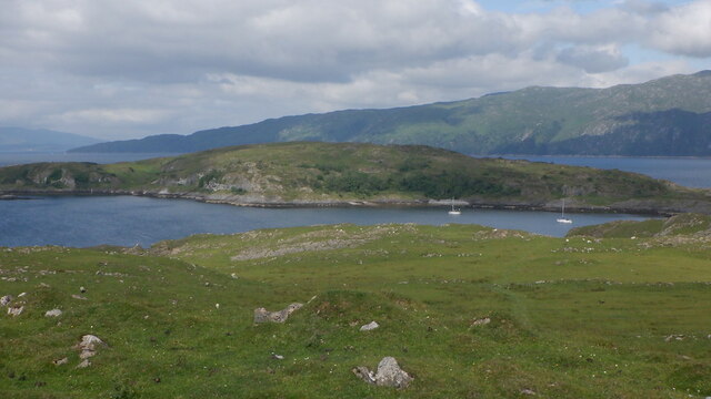
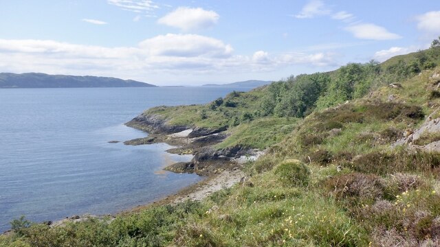
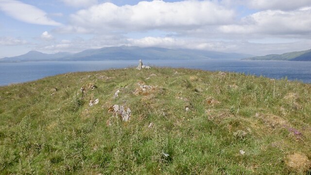
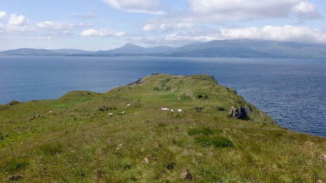
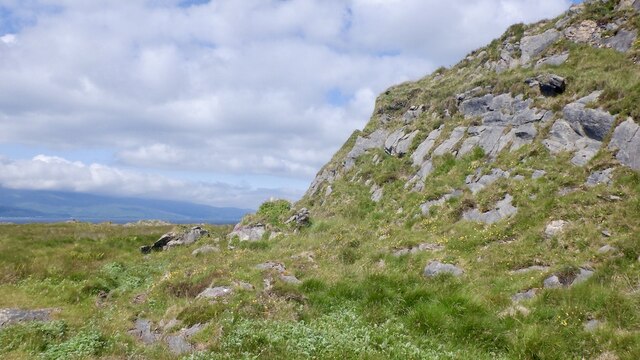
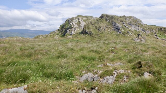
The island covers an area of approximately 1.5 acres and is situated about 200 meters from the mainland. It is accessible by boat or during low tide by foot. Sgeir an Teampuill is renowned for its ancient chapel ruins, which date back to the early Christian period. These ruins consist of a small stone structure with remnants of walls and a central altar area.

Archaeological investigations have revealed that the chapel was likely built between the 7th and 9th centuries. It is believed to have served as a place of worship for the local Christian community during that time. The island's name, "The Rock of the Church," directly relates to this historical significance.

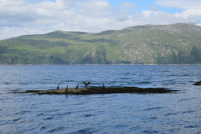
Apart from the chapel ruins, Sgeir an Teampuill is also home to a diverse range of seabirds and marine life. The surrounding waters are known for their rich biodiversity, attracting birdwatchers and nature enthusiasts. Visitors to the island can experience breathtaking views of the rugged coastal landscape and enjoy the tranquility of this remote location.

Due to its historical and ecological importance, Sgeir an Teampuill has been designated as a protected site under Scottish law. This ensures the preservation and conservation of its cultural and natural heritage for future generations to appreciate and enjoy.

If you have any feedback on the listing, please let us know in the comments section below.

Sgeir an Teampuill Images

Images are sourced within 2km of 56.491601/-5.5832807 or Grid Reference NM7939. Thanks to Geograph Open Source API. All images are credited.

Limestone and flowers, Druim Mòr A long limestone ridge at the south end of Lismore.
Limestone and flowers, Druim Mòr
A long limestone ridge at the south end of Lismore.
Cnoc Sneachdach, Lismore The high (by Lismore standards) ridge running along the south of the island.
Cnoc Sneachdach, Lismore
The high (by Lismore standards) ridge running along the south of the island.
Bàgh Clach an Dobhrain The west side of Lismore in part of the island depopulated by clearance. This is a very good example of a raised beach. 
The Glensanda quarry is visible beyond the anchorage and Bernera Island.
Bàgh Clach an Dobhrain
The west side of Lismore in part of the island depopulated by clearance. This is a very good example of a raised beach. The Glensanda quarry is visible beyond the anchorage and Bernera Island.
Bernera Island Tidally connected to Lismore, with one of several igneous intrusions.
Bernera Island
Tidally connected to Lismore, with one of several igneous intrusions.
South end of Bernera Island Tidally connected to Lismore.
South end of Bernera Island
Tidally connected to Lismore.
Bernera Island Tidally connected to Lismore.
Bernera Island
Tidally connected to Lismore.
Bernera Island Small cove on the northwest side.
Bernera Island
Small cove on the northwest side.
Bernera Island Tidally connected to Lismore.
Bernera Island
Tidally connected to Lismore.
Rubha Croinn Shags drying their wings between feeding dives. Looking across the deep part of Loch Linnhe, which we were using to test our kit.
Rubha Croinn
Shags drying their wings between feeding dives. Looking across the deep part of Loch Linnhe, which we were using to test our kit.
Rubha Croinn With a Grey seal, Shag and Great Black-backed Gull.
Rubha Croinn
With a Grey seal, Shag and Great Black-backed Gull.
Coast of Lismore On the left, a dry stone wall merges with a protruding igneous dyke, which finishes the job down to the coast.
Coast of Lismore
On the left, a dry stone wall merges with a protruding igneous dyke, which finishes the job down to the coast.
Bernera, Lismore A tidal island off Lismore.
Bernera, Lismore
A tidal island off Lismore.
Coast of Bernera Some rough going on raised beaches.
Coast of Bernera
Some rough going on raised beaches.
Summit, Bernera There is a sheep path up to here from the tidal crossing. The island is grazed.
Summit, Bernera
There is a sheep path up to here from the tidal crossing. The island is grazed.
Westward view, Bernera Mull in the background.
Westward view, Bernera
Mull in the background.
Gully, Bernera Possibly due to a dyke from the Mull or Ardnamurchan volcanic complexes. Bernera, like Lismore is mostly limestone. View towards Morvern.
Gully, Bernera
Possibly due to a dyke from the Mull or Ardnamurchan volcanic complexes. Bernera, like Lismore is mostly limestone. View towards Morvern.
West end of Bernera A prow of limestone above an old wave cut platform.
West end of Bernera
A prow of limestone above an old wave cut platform.
Limestone prows, Bernera Former sea cliffs rise above a wave cut platform.
Limestone prows, Bernera
Former sea cliffs rise above a wave cut platform.
Show me another place!

Sgeir an Teampuill is located at Grid Ref: NM7939 (Lat: 56.491601, Lng: -5.5832807)

Unitary Authority: Argyll and Bute

Police Authority: Argyll and West Dunbartonshire

What 3 Words

///pinging.gazed.scariest. Near Craignure, Argyll & Bute

Related Wikis

Bernera Island

Bernera Island (Scottish Gaelic: Beàrnaraigh) or simply Bernera is a tidal island off Lismore, in Argyll, Scotland. == History == In the 6th century, Bernera...

Achanduin Castle

Achanduin Castle, (also known as Achadun Castle and Acha-Dun), is a castle, now in ruins, located about 5.0 kilometres (3.1 mi) west of Achnacroish on...

Lismore Seminary

Lismore Seminary was situated in Kilcheran House on the island of Lismore in the Inner Hebrides part of Argyll, Scotland. It served as a seminary for the...

Creag Island

Creag Island is an island in Scotland. It is located in Argyll and Bute council area, in the northwestern part of the country, 600 km northwest of the...

Nearby Amenities

Located within 500m of 56.491601,-5.5832807
Bernera Bay
Natural: bay
Lat/Long: 56.4916915/-5.5790081
The data included in this document is from www.openstreetmap.org. The data is made available under ODbL.

Have you been to Sgeir an Teampuill?

Leave your review of Sgeir an Teampuill below (or comments, questions and feedback).