Sgeirean Gobhlach

Island in Inverness-shire

Scotland

Sgeirean Gobhlach

White sand at Gortenachullish White sand beach at the road end from Back of Keppoch.
White sand at Gortenachullish Credit: Gordon Hatton

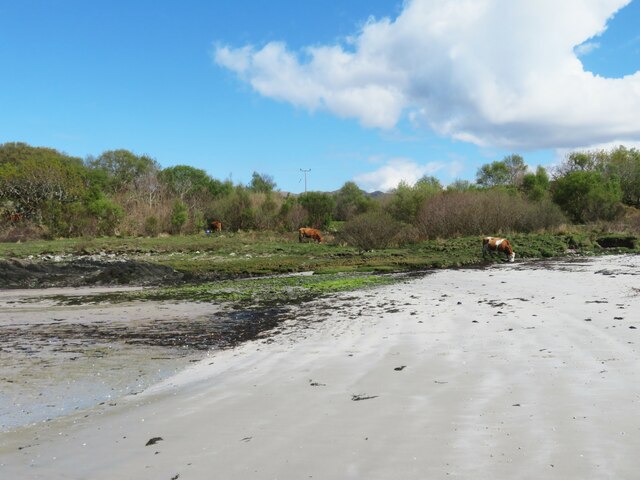
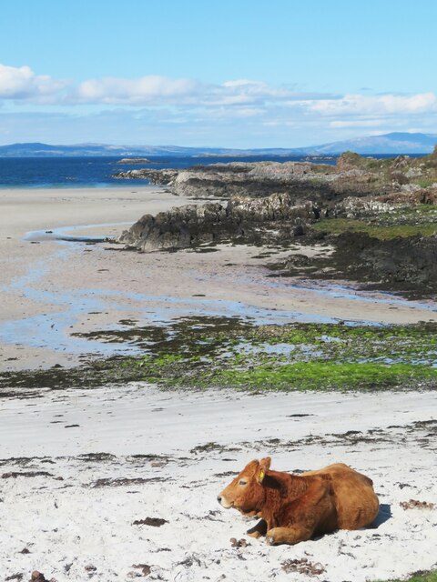
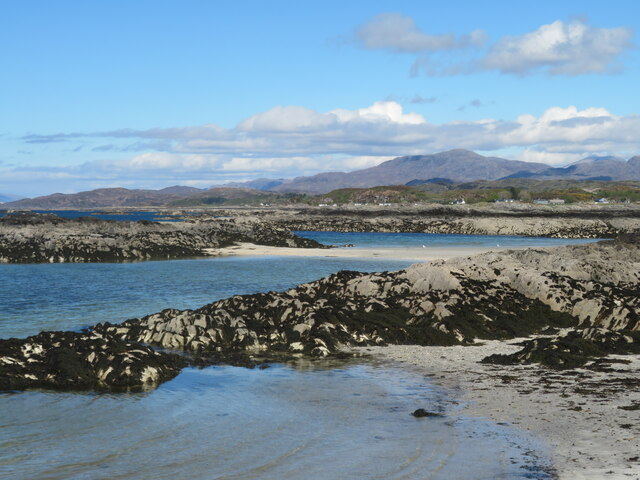
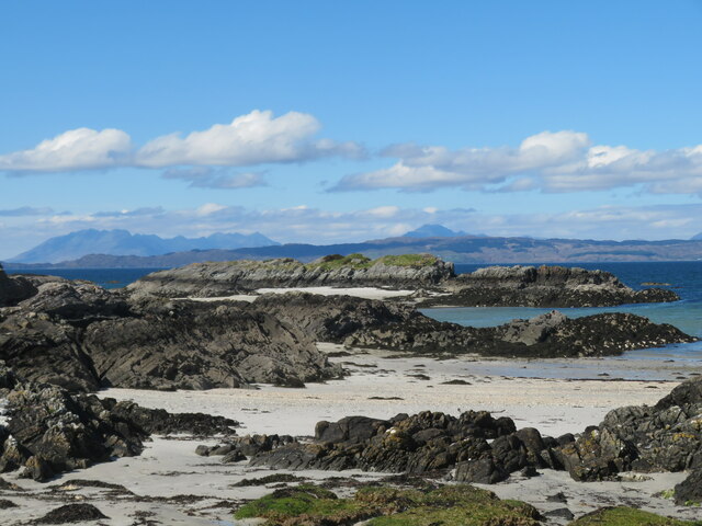
Sgeirean Gobhlach, located in Inverness-shire, is a group of small islands off the coast of Scotland. These islands are known for their rugged and rocky terrain, with steep cliffs and jagged rocks jutting out of the sea. The name "Sgeirean Gobhlach" translates to "stony skerries" in Gaelic, which accurately describes the landscape of the islands.

The islands are uninhabited and are primarily used by seabirds for nesting and breeding. Species such as puffins, guillemots, and razorbills can be found on the islands, making them a popular spot for birdwatchers and wildlife enthusiasts.

Access to Sgeirean Gobhlach is limited due to the rough seas and treacherous conditions surrounding the islands. Visitors must be experienced sailors or book a tour with a local guide to safely explore the area.

Overall, Sgeirean Gobhlach offers a unique and remote experience for those looking to immerse themselves in the natural beauty of the Scottish coastline and observe a diverse range of seabirds in their natural habitat.

If you have any feedback on the listing, please let us know in the comments section below.

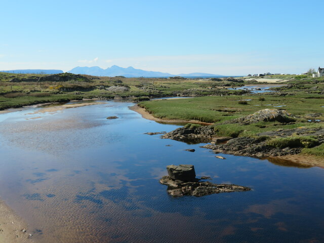
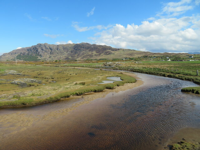
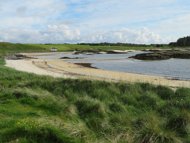
Sgeirean Gobhlach Images

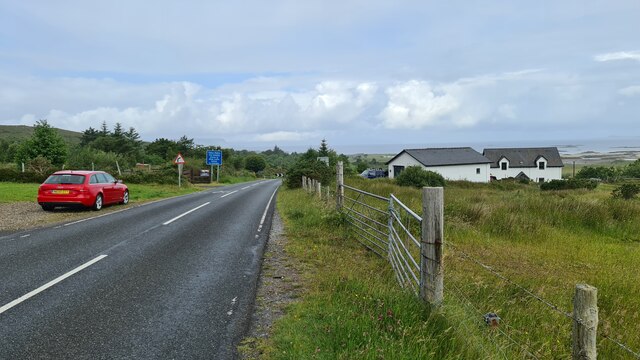
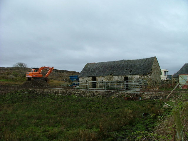
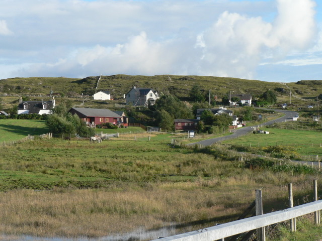
Images are sourced within 2km of 56.935799/-5.8814871 or Grid Reference NM6389. Thanks to Geograph Open Source API. All images are credited.

White sand at Gortenachullish White sand beach at the road end from Back of Keppoch.
White sand at Gortenachullish
White sand beach at the road end from Back of Keppoch.
Beach bovine Just lazing on the beach and soaking up the spring sunshine at Gortenachullish.
Beach bovine
Just lazing on the beach and soaking up the spring sunshine at Gortenachullish.
Mini camping Mini enthusiasts with mini tents at Back of Keppoch.
Mini camping
Mini enthusiasts with mini tents at Back of Keppoch.
Coastline near Port Ban A fretted coastline of small sandy bays and rocky reefs.
Coastline near Port Ban
A fretted coastline of small sandy bays and rocky reefs.
Shoreline near Gortenchullish One can work one's way around the shoreline here at low tide, but further progress towards Eilean Ighe wasn't possible on this occasion via the shore, whilst any landward route has plenty of 'Private Keep Out' notices.
Shoreline near Gortenchullish
One can work one's way around the shoreline here at low tide, but further progress towards Eilean Ighe wasn't possible on this occasion via the shore, whilst any landward route has plenty of 'Private Keep Out' notices.
Allt Cam Carach heading seawards The last few metres of this burn which by this point has brackish waters. The mountains of Rum can be seen on the horizon.
Allt Cam Carach heading seawards
The last few metres of this burn which by this point has brackish waters. The mountains of Rum can be seen on the horizon.
Upstream along  Allt Cam Carach A slow and sluggish burn which drains a large area of low lying bog and scrubland known as Mointeach Mhor.
Upstream along Allt Cam Carach
A slow and sluggish burn which drains a large area of low lying bog and scrubland known as Mointeach Mhor.
Lòn Liath - one of the Traigh beaches at Arisaig Never mind that Traigh is the Gaelic word for beach.
Lòn Liath - one of the Traigh beaches at Arisaig
Never mind that Traigh is the Gaelic word for beach.
Back of Keppoch
Back of Keppoch
Looking out to the Sound of Sleat from Sunnyside Croft Touring & Camping Site, 2 Bunacaimb
Sunnyside Croft Touring & Camping Site, 2 Bunacaimb
Newly born lambs at Bunacaimb
Dilapidated building at Bunacaimb The green posts in the foreground are electric hook-up points for touring caravans.
Dilapidated building at Bunacaimb
The green posts in the foreground are electric hook-up points for touring caravans.
Newly built caravan site building At Bunacaimb.
Newly built caravan site building
At Bunacaimb.
Old and new Farm buildings at Bunacaimb.
Old and new
Farm buildings at Bunacaimb.
Port Bàn Viewed from the road at Gortenachullish.
Port Bàn
Viewed from the road at Gortenachullish.
Gortenachullish Farm
Old farm building at Keppoch Looking like it may be refurbished very soon.
Old farm building at Keppoch
Looking like it may be refurbished very soon.
Show me another place!

Sgeirean Gobhlach is located at Grid Ref: NM6389 (Lat: 56.935799, Lng: -5.8814871)

Unitary Authority: Highland

Police Authority: Highlands and Islands

What 3 Words

///violinist.form.estimate. Near Arisaig, Highland

Related Wikis

Eilean Ighe

Eilean Ighe is a small tidal island near Arisaig in the Inner Hebrides of Scotland. The area is popular for sea kayaking and a challenge for larger boats...

Portnaluchaig

Portnaluchaig is a coastal hamlet, located 2 miles north of Arisaig in the Highlands of Scotland and is also in the council area of Highland. The Small...

Back of Keppoch

Back of Keppoch (Gaelic: Cùl na Ceapaich) is a small coastal settlement in the northwest Scottish Highlands, 40 miles (65 kilometres) west of Fort William...

Glenancross

Glenancross is a settlement on the west coast of Scotland, overlooking the Sound of Sleat south of Mallaig, Lochaber, in the Scottish Highlands and is...

Have you been to Sgeirean Gobhlach?

Leave your review of Sgeirean Gobhlach below (or comments, questions and feedback).