Sgeir an Eich Bhuidhe
Island in Argyllshire
Scotland
Sgeir an Eich Bhuidhe
Sgeir an Eich Bhuidhe is a small uninhabited island located off the west coast of Scotland in Argyllshire. It is situated in the Firth of Lorn, approximately 8 miles south of Oban. The island covers an area of about 5 acres and has a rocky terrain with a few patches of vegetation.
The name "Sgeir an Eich Bhuidhe" translates to "yellow horse skerry" in English, which is believed to refer to a yellowish-colored rock formation on the island. This rocky outcrop is a prominent feature of the island, rising steeply from the surrounding sea.
The island is a popular destination for wildlife enthusiasts and birdwatchers. It is home to a variety of seabirds, including guillemots, razorbills, and puffins. Seals can often be seen basking on the rocks or swimming in the waters around the island. Dolphins and porpoises are also occasionally spotted in the area.
Due to its remote location and lack of facilities, Sgeir an Eich Bhuidhe is not typically visited by tourists. However, it can be reached by boat from Oban or other nearby coastal towns. The island offers stunning views of the surrounding coastline and is a peaceful retreat for those seeking solitude and an opportunity to connect with nature.
Overall, Sgeir an Eich Bhuidhe is a picturesque and wildlife-rich island, providing a glimpse into the natural beauty of the Scottish coast.
If you have any feedback on the listing, please let us know in the comments section below.
Sgeir an Eich Bhuidhe Images
Images are sourced within 2km of 56.682132/-5.9375416 or Grid Reference NM5861. Thanks to Geograph Open Source API. All images are credited.
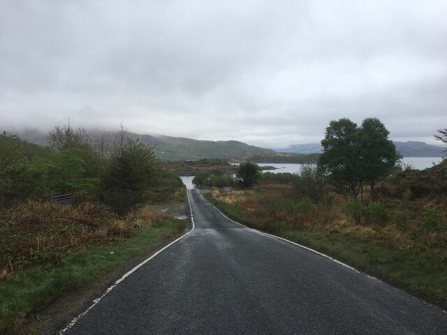
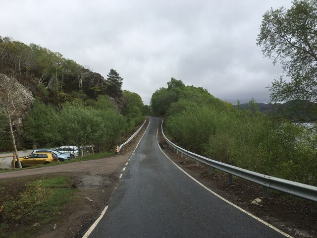
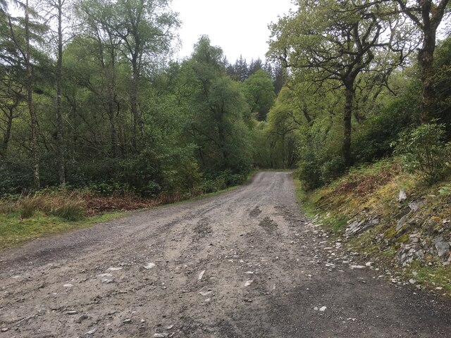


![Loch Sunart Off the B8006 near Glenbeg (on the road to the Kilchoan Ferry). I
believe the low-lying island of Oronsay is in the middle ground with the
western part of Morvern and Beinn Bhuide behind.
[Thanks to Penny Mayes for assistance in locating this image]](https://s3.geograph.org.uk/geophotos/02/49/30/2493051_8020412c.jpg)
Sgeir an Eich Bhuidhe is located at Grid Ref: NM5861 (Lat: 56.682132, Lng: -5.9375416)
Unitary Authority: Highland
Police Authority: Highlands and Islands
What 3 Words
///hired.velocity.arranges. Near Drimnin, Highland
Related Wikis

Glenmore Bay
Glenmore Bay is a remote, tidal, 150° orientated, coastal embayment, located on the southern coastline of the west to east orientated Ardnamurchan peninsula...

Eilean Mòr, Loch Sunart
Eilean Mòr is an uninhabited, tidal island opposite Oronsay at the entrance to Loch Sunart, an arm of the sea on the west coast of Scotland. At low tide...

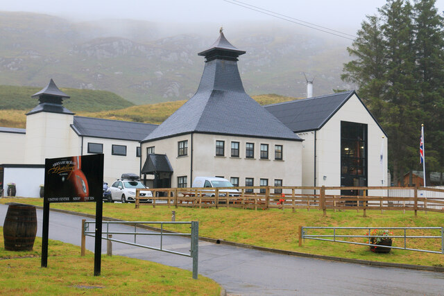
Ardnamurchan distillery
Ardnamurchan distillery is a Scotch whisky distillery on the Ardnamurchan peninsula of Lochaber in the Highlands, Scotland. The distillery is considered...

Glenborrodale Bay
Glenborrodale Bay is a remote tidal, 200° orientated, coastal embayment, located on the southern coastline of the west to east orientated Ardnamurchan...
Nearby Amenities
Located within 500m of 56.682132,-5.9375416Have you been to Sgeir an Eich Bhuidhe?
Leave your review of Sgeir an Eich Bhuidhe below (or comments, questions and feedback).