Lydden
Settlement in Kent Thanet
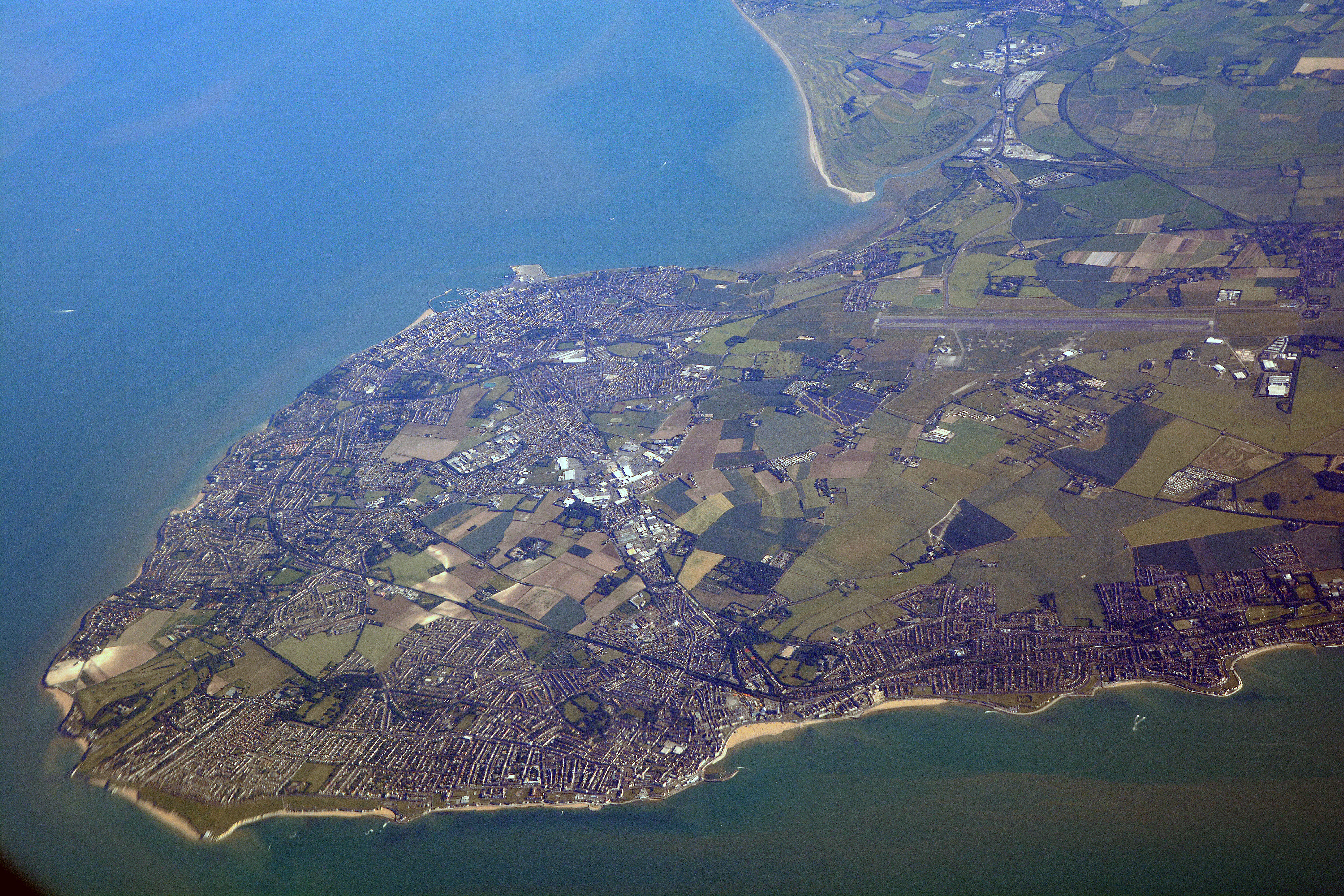
England
Lydden

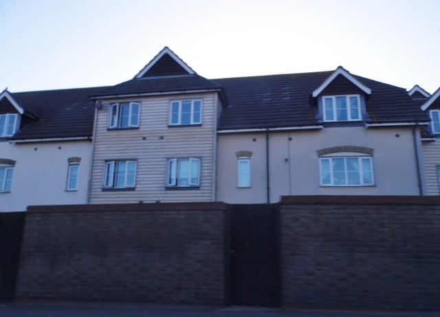
Lydden is a small village located in the county of Kent, in southeastern England. Situated approximately 10 miles east of Canterbury, it is nestled in the beautiful countryside of the Dover district. With a population of around 400 people, Lydden is a tight-knit community that offers a peaceful and idyllic lifestyle.
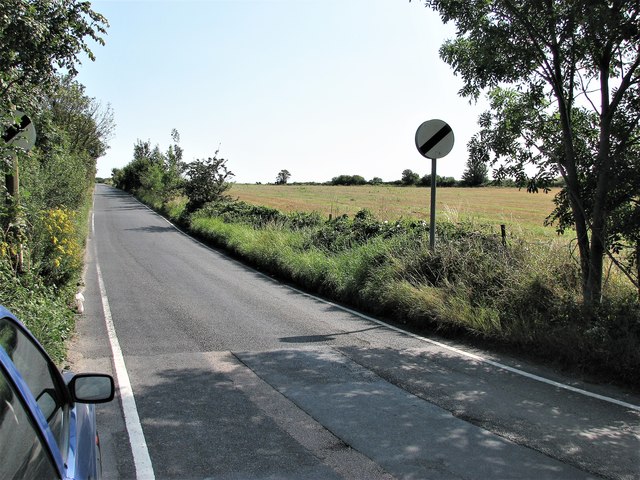
The village is known for its picturesque surroundings, with rolling green hills, charming country lanes, and stunning views of the Kent Downs. It is a paradise for nature enthusiasts, offering ample opportunities for walking, hiking, and exploring the nearby woodlands. Moreover, Lydden is in close proximity to the renowned White Cliffs of Dover, a national icon and a popular tourist attraction.
Despite its small size, Lydden has a rich history. The village dates back to Roman times, and remnants of the past can still be seen in the form of ancient buildings and historical landmarks. Notably, Lydden Church, dedicated to St. Mary the Virgin, is a prominent feature of the village. This beautiful church, with its distinctive architecture, has stood for centuries and serves as a reminder of Lydden's heritage.
While Lydden may be a tranquil rural village, it is conveniently located near major transportation routes. The A2 road passes through the village, connecting it to Canterbury and Dover, making it easily accessible for commuters and visitors alike.
In conclusion, Lydden is a charming village in Kent, offering a peaceful and picturesque setting for its residents. With its natural beauty, historical heritage, and convenient location, it is a place that combines the best of both worlds - a tranquil countryside escape with easy access to nearby towns and cities.
If you have any feedback on the listing, please let us know in the comments section below.
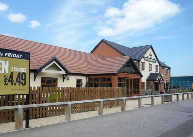
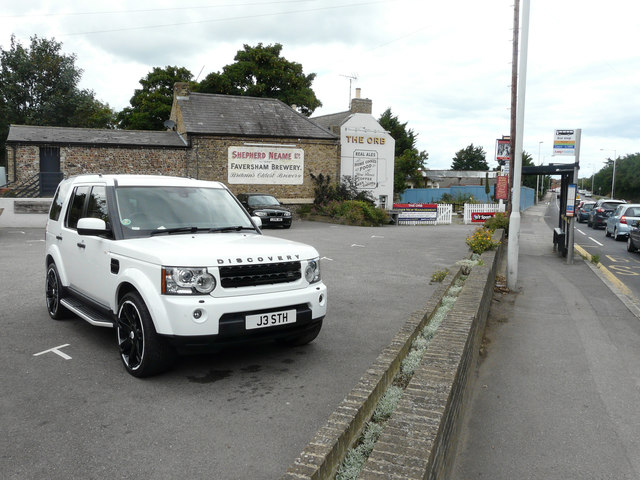
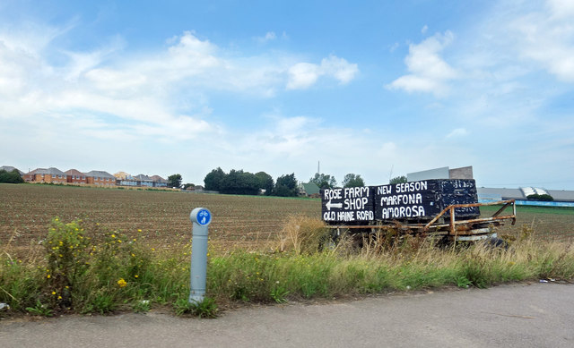
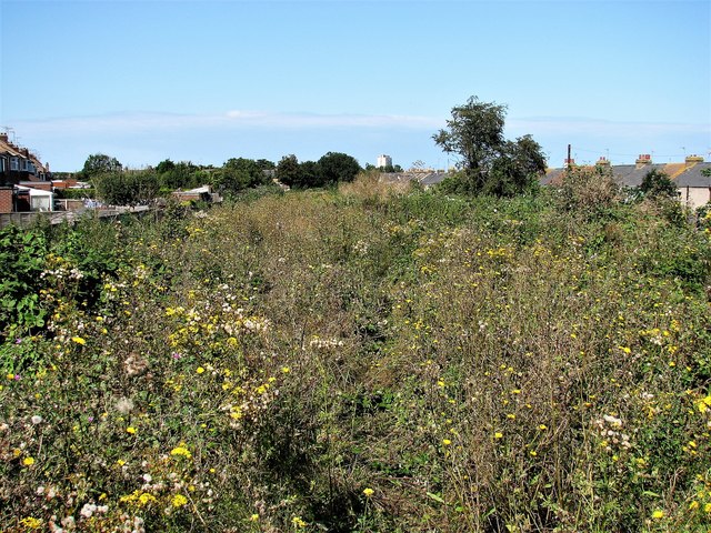
Lydden Images
Images are sourced within 2km of 51.360284/1.377822 or Grid Reference TR3567. Thanks to Geograph Open Source API. All images are credited.


Lydden is located at Grid Ref: TR3567 (Lat: 51.360284, Lng: 1.377822)
Administrative County: Kent
District: Thanet
Police Authority: Kent
What 3 Words
///rust.shapes.diner. Near Margate, Kent
Nearby Locations
Related Wikis
Flete
Flete is a hamlet 3 km southwest of Margate in Kent, United Kingdom. It is in the Thanet local government district. At the 2011 census the population of...

Thanet District
Thanet is a local government district in Kent, England. The council is based in Margate and the district also contains the towns of Broadstairs, Ramsgate...

Thanet West (UK Parliament constituency)
Thanet West was a British parliamentary constituency in the Isle of Thanet, in Kent. It was created for the February 1974 general election, when the former...
Isle of Thanet
The Isle of Thanet () is a peninsula forming the easternmost part of Kent, England. While in the past it was separated from the mainland by the 600-metre...

Westwood, Kent
Westwood is a village and retail estate in Thanet district of Kent, England, and 1.9 miles (3.1 km) south of Margate. == History == Westwood developed...

A254 road
The A254 is a short road running northwest–southeast on the Isle of Thanet in East Kent. The whole length of the road is within Thanet District Council...

Academy FM (Thanet)
Academy FM (Thanet) is a Charity community 24-hour local radio station based in Ramsgate, Kent, England, which broadcasts to the Isle of Thanet. It launched...
The Royal Harbour Academy
The Royal Harbour Academy is a coeducational secondary school and sixth form located over two sites in Ramsgate in the English county of Kent.The school...
Related Videos


British OpenParamotor Chamionships 2023 Pre-Flight.
My reversed launch @ BOPC2023. This flight was one day before the championships. Due to the weather i chose to stay on the ...


Nearby Amenities
Located within 500m of 51.360284,1.377822Have you been to Lydden?
Leave your review of Lydden below (or comments, questions and feedback).