Ardtoe Island
Island in Argyllshire
Scotland
Ardtoe Island

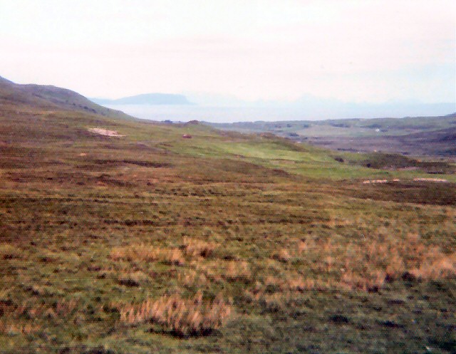
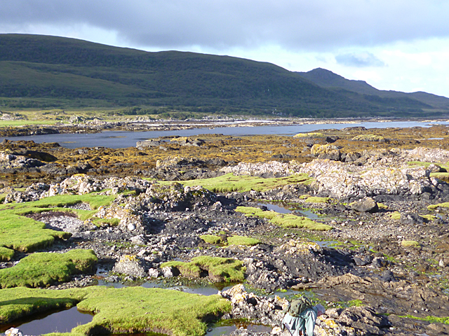
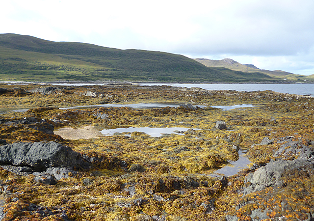
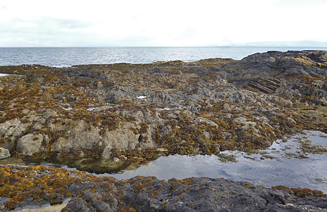
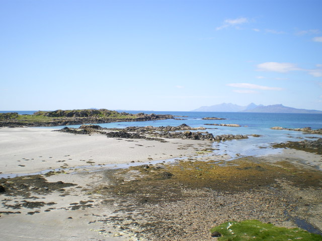
Ardtoe Island, located in Argyllshire, Scotland, is a small uninhabited island situated off the west coast of the Scottish mainland. The island is part of the Ardtoe peninsula, which is known for its stunning natural beauty and rugged landscapes. Ardtoe Island is accessible by boat and is a popular destination for nature enthusiasts and birdwatchers.
Measuring approximately 1.5 hectares, Ardtoe Island is characterized by its rocky coastline and diverse wildlife. The island is home to a variety of bird species, including puffins, guillemots, and razorbills, making it an important breeding ground and a designated Site of Special Scientific Interest (SSSI). Visitors to the island can observe these birds in their natural habitat, as well as enjoy the breathtaking coastal scenery.
In addition to its wildlife, Ardtoe Island offers visitors the opportunity to explore its rich history. Ruins of an ancient chapel, believed to date back to the 7th century, can be found on the island, providing a glimpse into its past. This historical significance adds to the island's charm and allure.
While there are no facilities or accommodations on Ardtoe Island, visitors can find nearby amenities on the mainland. The island’s remote location and unspoiled natural environment make it an ideal spot for those seeking tranquility and a connection with nature.
Overall, Ardtoe Island in Argyllshire is a hidden gem in the Scottish Highlands, offering visitors a chance to immerse themselves in the region’s captivating wildlife, rich history, and awe-inspiring landscapes.
If you have any feedback on the listing, please let us know in the comments section below.
Ardtoe Island Images
Images are sourced within 2km of 56.767704/-6.0498858 or Grid Reference NM5271. Thanks to Geograph Open Source API. All images are credited.


Ardtoe Island is located at Grid Ref: NM5271 (Lat: 56.767704, Lng: -6.0498858)
Unitary Authority: Highland
Police Authority: Highlands and Islands
What 3 Words
///moods.firewall.verbs. Near Kilchoan, Highland
Nearby Locations
Related Wikis
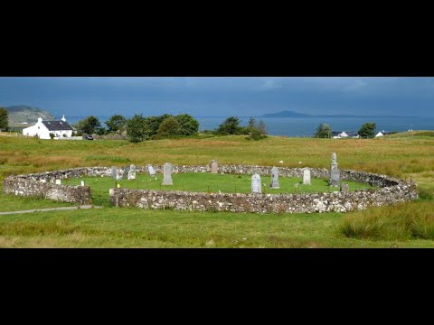
Kilmory, Ardnamurchan
Kilmory (Cill Mhoire in Gaelic meaning "Mary's Cell" or "Church of Mary") is a small crofting (township) hamlet on the north coast of Ardnamurchan, western...

Achateny
Achateny (Scottish Gaelic: Ach/Achadh an Teine) is a hamlet in Argyll on Ardnamurchan in the Scottish Highlands. It is in the Scottish council area of...

Port an Eilean Mhòir boat burial
The Port an Eilean Mhòir boat burial is a Viking boat burial site in Ardnamurchan, Scotland, the most westerly point on the island of Great Britain. Dated...

Ockle
Ockle (Scottish Gaelic: Ocal) is a remote hamlet, situated on the northcoast of the Ardnamurchan peninsula, Scottish Highlands and is in the Scottish council...
Related Videos
Graveyard With Music At Kilmory On History Visit To Ardnamurchan Scotland
Tour Scotland short 4K travel video clip, with Scottish music, of the graveyard at Kilmory on ancestry, genealogy, family history visit ...
Have you been to Ardtoe Island?
Leave your review of Ardtoe Island below (or comments, questions and feedback).