Luzley Brook
Settlement in Lancashire
England
Luzley Brook
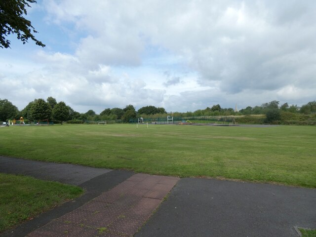
Luzley Brook is a charming village located in the county of Lancashire, England. Situated in the picturesque Ribble Valley, Luzley Brook offers a tranquil and idyllic setting for residents and visitors alike. The village is nestled amidst rolling green hills, with the brook itself meandering through the heart of the community.
Historically, Luzley Brook was primarily an agricultural village, with farming playing a significant role in its economy. However, in recent years, it has also seen a rise in tourism due to its attractive countryside and proximity to popular tourist attractions.
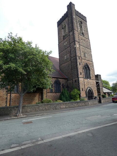
The village boasts a close-knit and friendly community, with a range of amenities to cater to the needs of its residents. These include a local primary school, a village hall, and a quaint parish church, which serves as a focal point for religious and social gatherings.
Nature enthusiasts are drawn to Luzley Brook for its stunning landscapes and the opportunity to explore the surrounding countryside. Walking trails and cycling routes are abundant, allowing visitors to fully immerse themselves in the natural beauty of the area. The brook itself is a popular spot for fishing, attracting anglers from far and wide.
For those seeking a taste of history, nearby attractions such as Clitheroe Castle and Whalley Abbey provide a glimpse into Lancashire's rich past. The village is also within easy reach of the bustling market town of Clitheroe, offering a wide range of shops, restaurants, and entertainment options.
In summary, Luzley Brook is a delightful village in Lancashire, offering a peaceful retreat in a beautiful rural setting. Its strong sense of community, stunning scenery, and proximity to local attractions make it a highly sought-after destination for both residents and visitors.
If you have any feedback on the listing, please let us know in the comments section below.
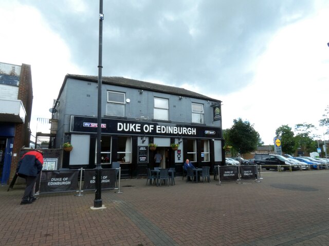
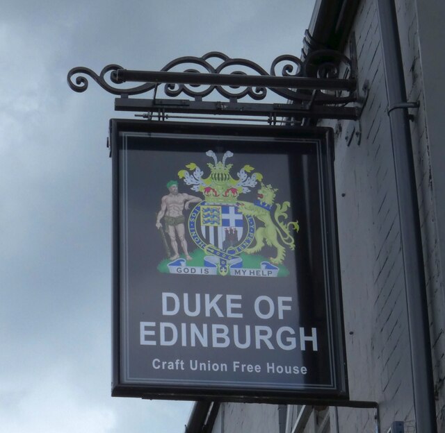
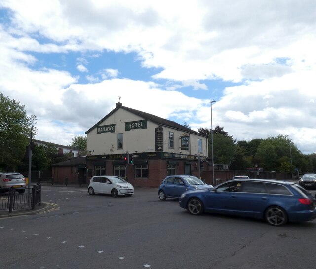
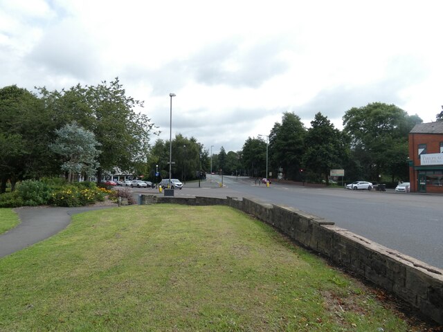
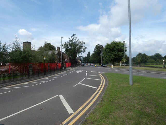
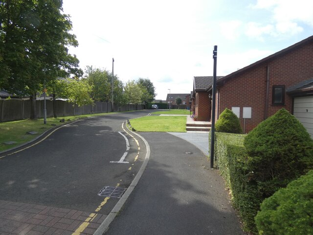
Luzley Brook Images
Images are sourced within 2km of 53.567206/-2.107172 or Grid Reference SD9307. Thanks to Geograph Open Source API. All images are credited.


Luzley Brook is located at Grid Ref: SD9307 (Lat: 53.567206, Lng: -2.107172)
Unitary Authority: Oldham
Police Authority: Greater Manchester
What 3 Words
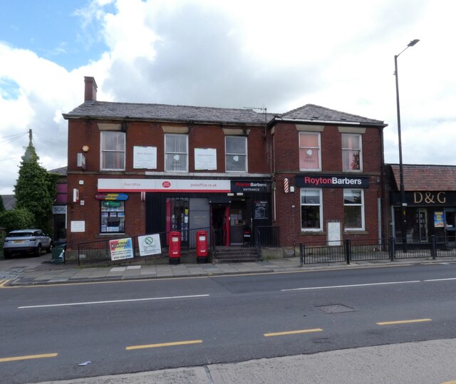
///blunt.eggs.news. Near Royton, Manchester
Nearby Locations
Related Wikis

E-ACT Royton and Crompton Academy
E-ACT Royton and Crompton Academy is a coeducational, secondary academy school for 11- to 16-year-olds in the Metropolitan Borough of Oldham, Greater Manchester...
Royton branch
The Royton Branch was a mile-long Lancashire & Yorkshire Railway built double track branch railway line in Greater Manchester, England, that ran from Royton...
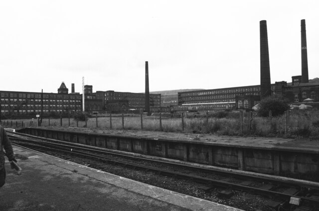
Royton railway station
Royton railway station served the town of Royton, England. It opened on 21 March 1864, and was at the end of a short branch line from Royton Junction railway...

Royton
Royton is a town in the Metropolitan Borough of Oldham, Greater Manchester, England, with a population of 21,284 in 2011. Close to the source of the River...

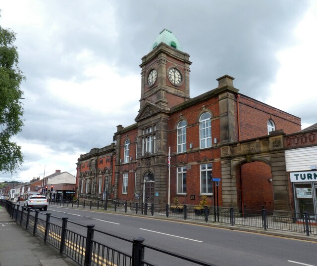
Royton Town Hall
Royton Town Hall is a municipal building in Rochdale Road, Royton, Greater Manchester, England. The town hall was the headquarters of Royton Urban District...
Cop Road tram stop
Cop Road is a proposed tram stop on the Oldham and Rochdale Line of Greater Manchester's Metrolink light rail system. It is to be located between Derker...
Our Lady's Roman Catholic High School, Royton
Our Lady's R.C. High School was a Roman Catholic high school and sixth form for 11- to 18-year-olds, located in Royton, in the Metropolitan Borough of...
Dawn Mill, Shaw
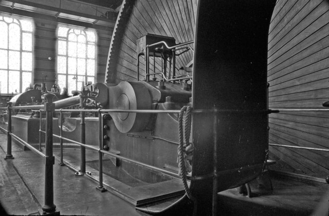
Dawn Mill, Shaw was a cotton spinning mill in Shaw and Crompton, Oldham, Greater Manchester. It was built on the site of Shaw Mill at the "dawn" of the...
Nearby Amenities
Located within 500m of 53.567206,-2.107172Have you been to Luzley Brook?
Leave your review of Luzley Brook below (or comments, questions and feedback).