Sgeir an Fhèidh

Island in Argyllshire

Scotland

Sgeir an Fhèidh

Building at Ruantallain Ruantallain - 25th.April,2015.
Building at Ruantallain Credit: Rab McMurdo

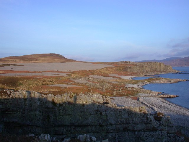
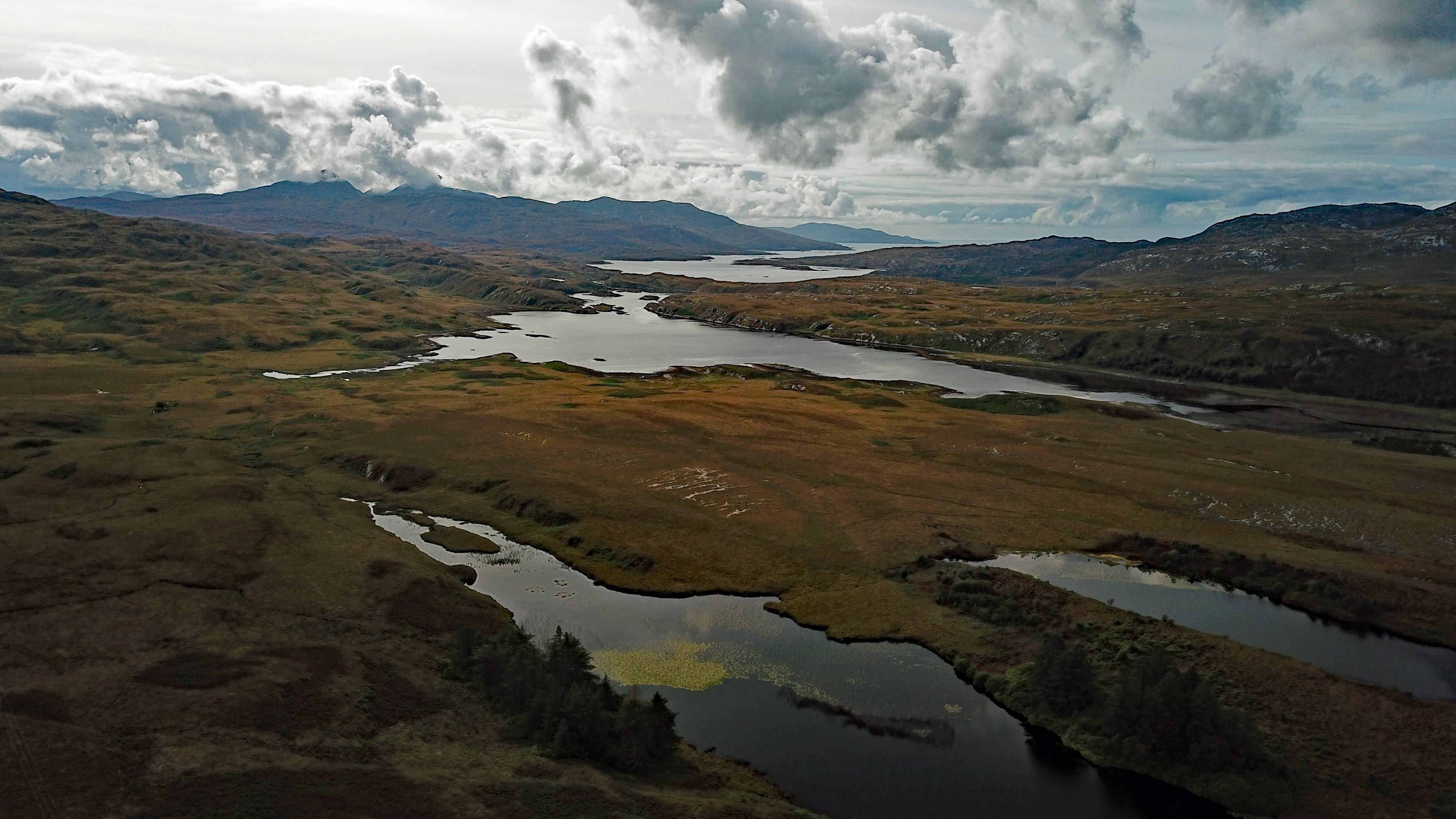
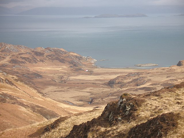
Sgeir an Fhèidh is a small island located in Argyllshire, Scotland. It is situated off the west coast of the mainland, near the village of Craobh Haven. The island is uninhabited and is known for its rugged and rocky terrain, as well as its picturesque views of the surrounding sea and coastline.

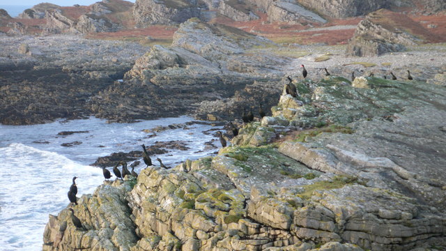
Sgeir an Fhèidh is a popular spot for birdwatching, with a variety of seabirds nesting on the cliffs and rocks around the island. Visitors can also spot seals and other marine wildlife in the waters surrounding the island.

Access to Sgeir an Fhèidh is primarily by boat, with several tour operators offering trips to the island for sightseeing and wildlife watching. The island is a peaceful and remote destination, perfect for those looking to escape the hustle and bustle of everyday life and immerse themselves in the natural beauty of the Scottish coast.

Overall, Sgeir an Fhèidh is a unique and stunning island destination in Argyllshire, offering visitors the chance to experience the rugged beauty of Scotland's west coast in a tranquil and unspoiled setting.

If you have any feedback on the listing, please let us know in the comments section below.

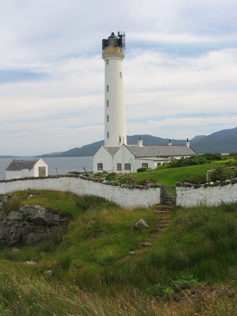
Sgeir an Fhèidh Images

Images are sourced within 2km of 55.982236/-6.0050084 or Grid Reference NR5083. Thanks to Geograph Open Source API. All images are credited.

Building at Ruantallain Ruantallain - 25th.April,2015.
Building at Ruantallain
Ruantallain - 25th.April,2015.
Uamh Righ Crosses marked on the walls of Uamh Righ - April,2015.
Uamh Righ
Crosses marked on the walls of Uamh Righ - April,2015.
Na h-Ursainnan Taken from the 177m summit of this small hill on a days giving great views across Loch Tarbet to the hills on the southern part of Jura. The land round here is covered in deer and there are also many lochs used for fishing.
Na h-Ursainnan
Taken from the 177m summit of this small hill on a days giving great views across Loch Tarbet to the hills on the southern part of Jura. The land round here is covered in deer and there are also many lochs used for fishing.
Rocks on west coast of Jura Luckily the tide was fairly low, so was able to get into the square to take the photo, but there's not much land in this square.
Rocks on west coast of Jura
Luckily the tide was fairly low, so was able to get into the square to take the photo, but there's not much land in this square.
West Loch Tarbert from Ruantallain Looking into West Loch Tarbert from Ruantallain. Excellent raised beach is in the background.
West Loch Tarbert from Ruantallain
Looking into West Loch Tarbert from Ruantallain. Excellent raised beach is in the background.
Raised beach, West Loch Tarbert. Raised beach, East of Ruantallain, West Loch Tarbert on Jura.
Raised beach, West Loch Tarbert.
Raised beach, East of Ruantallain, West Loch Tarbert on Jura.
Loch a'Mhile Loch a'Mhile - another loch in this area of flattish, wide open spaces.
Loch a'Mhile
Loch a'Mhile - another loch in this area of flattish, wide open spaces.
Raised beach Looking south along a raised beach. The southern part of the island can be seen across the entrance to Loch Tarbet, with the tops of two of the paps just visible. Islay is the island to the right.
Raised beach
Looking south along a raised beach. The southern part of the island can be seen across the entrance to Loch Tarbet, with the tops of two of the paps just visible. Islay is the island to the right.
Sunset looking towards Colonsay from rocks beneath Ceannaiche Mor
Looking towards the bothy at Rubh an t-Sailien The coastline north and west of Rubh an t-Sailien (Ruantallain) has many caves, raised beaches, wave-cut platforms and rock stacks, which are features caused by the west coast of Jura 'rebounding' after the receding of the ice cap at the end of the Devensian glacial period.
Looking towards the bothy at Rubh an t-Sailien
The coastline north and west of Rubh an t-Sailien (Ruantallain) has many caves, raised beaches, wave-cut platforms and rock stacks, which are features caused by the west coast of Jura 'rebounding' after the receding of the ice cap at the end of the Devensian glacial period.
Rock Stack to the South of Brein Phort A favourite haunt for cormorants and shags. The beach at Brein Phort attracts an inordinate volume of flotsam and jetsam.
Rock Stack to the South of Brein Phort
A favourite haunt for cormorants and shags. The beach at Brein Phort attracts an inordinate volume of flotsam and jetsam.
Basalt Dyke Basalt dyke at Rubh an t-Sailein
Basalt Dyke
Basalt dyke at Rubh an t-Sailein
Fishing in Loch Tarbert Fishing in Loch Tarbert from the Rubh an t-Sailein headland with the Beinn Shiantaidh in the centre of the image.
Fishing in Loch Tarbert
Fishing in Loch Tarbert from the Rubh an t-Sailein headland with the Beinn Shiantaidh in the centre of the image.
Show me another place!

Sgeir an Fhèidh is located at Grid Ref: NR5083 (Lat: 55.982236, Lng: -6.0050084)

Unitary Authority: Argyll and Bute

Police Authority: Argyll and West Dunbartonshire

What 3 Words

///spurted.decanter.width. Near Scalasaig, Argyll & Bute

Related Wikis

Loch Tarbert, Jura

Loch Tarbert is a sea loch on the west coast of Jura, an island in Scotland. As the name Tarbert suggests, it comes close to cutting the island in half...

Battle of the Western Isles

The Battle of the Western Isles was a series of conflicts in 1585 and 1586 on the islands of Jura, Islay, Mull and Tiree, Scotland as well as the peninsula...

Beinn an Òir

Beinn an Òir (Gaelic for "mountain of gold") is the highest peak of the Paps of Jura on the island of Jura, Scotland. It is the highest peak on the island...

Ruvaal Lighthouse

The Ruvaal, Rhuvaal, or Rubh'a' Mhàil Lighthouse is a listed 19th-century lighthouse located at the north-eastern end of the island of Islay, in the Inner...

Nearby Amenities

Located within 500m of 55.982236,-6.0050084
Brein Phort
Natural: bay
Source: OS_OpenData_StreetView
Lat/Long: 55.9817003/-6.0009552
The data included in this document is from www.openstreetmap.org. The data is made available under ODbL.

Have you been to Sgeir an Fhèidh?

Leave your review of Sgeir an Fhèidh below (or comments, questions and feedback).