Sgeir Tràighe
Island in Argyllshire
Scotland
Sgeir Tràighe

The requested URL returned error: 429 Too Many Requests
If you have any feedback on the listing, please let us know in the comments section below.
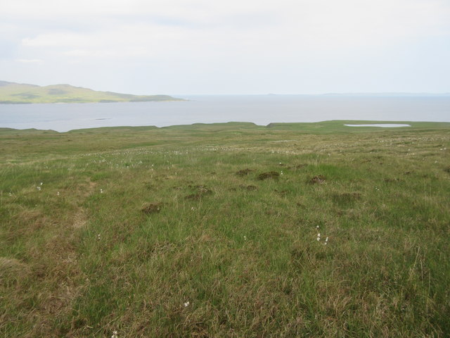
Sgeir Tràighe Images
Images are sourced within 2km of 55.916528/-6.0774247 or Grid Reference NR4576. Thanks to Geograph Open Source API. All images are credited.


Sgeir Tràighe is located at Grid Ref: NR4576 (Lat: 55.916528, Lng: -6.0774247)
Unitary Authority: Argyll and Bute
Police Authority: Argyll and West Dunbartonshire
What 3 Words
///regretted.thank.acclaim. Near Port Askaig, Argyll & Bute
Nearby Locations
Related Wikis
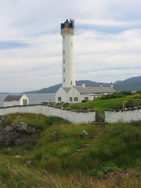
Ruvaal Lighthouse
The Ruvaal, Rhuvaal, or Rubh'a' Mhàil Lighthouse is a listed 19th-century lighthouse located at the north-eastern end of the island of Islay, in the Inner...

Bunnahabhain distillery
Bunnahabhain distillery (Scottish Gaelic: Taigh-staile Bun na h-Abhainne, [t̪əˈs̪t̪alə punəˈhavɪɲ]) was founded in 1881 near Port Askaig on Islay. The...

Beinn a' Chaolais
Beinn a' Chaolais (Gaelic: mountain of the sound or strait) is the lowest peak of the Paps of Jura on the island of Jura, Scotland.It stands at 733 metres...

Beinn an Òir
Beinn an Òir (Gaelic for "mountain of gold") is the highest peak of the Paps of Jura on the island of Jura, Scotland. It is the highest peak on the island...
Have you been to Sgeir Tràighe?
Leave your review of Sgeir Tràighe below (or comments, questions and feedback).