Sgeir Port na Gainmhich

Island in Argyllshire

Scotland

Sgeir Port na Gainmhich

Loch an t-Sailean A sea loch, with an irregular outline, famed for seal and birdlife.
Loch an t-Sailean Credit: Andrew Wood

The requested URL returned error: 429 Too Many Requests

If you have any feedback on the listing, please let us know in the comments section below.

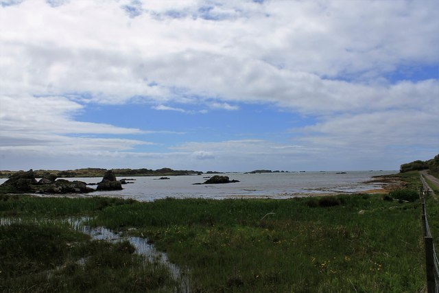
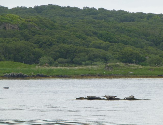
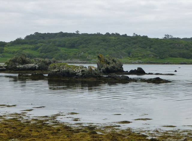
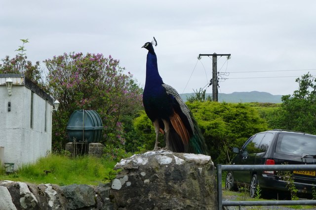
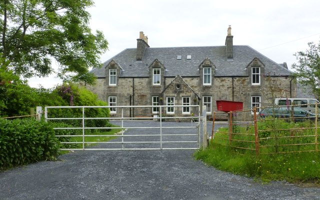
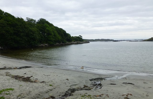
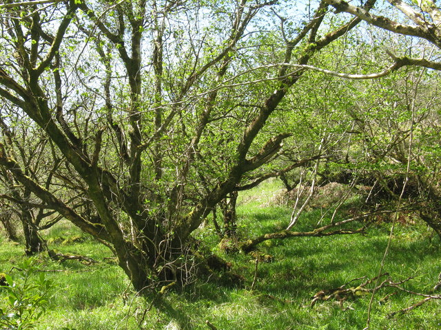
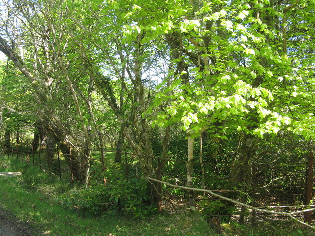
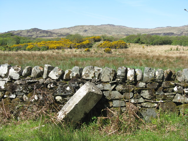
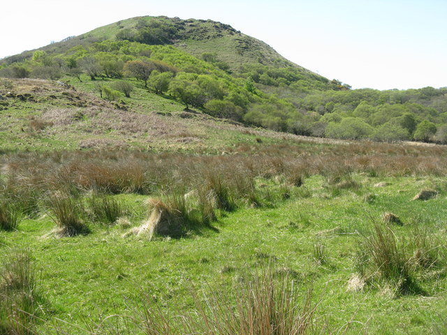
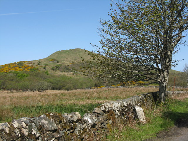
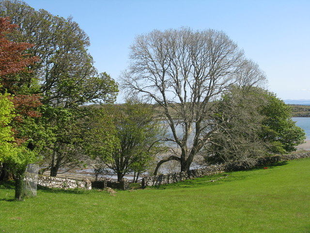
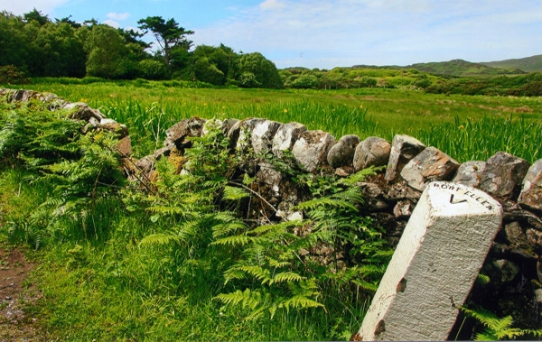
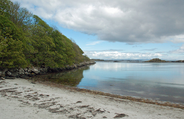
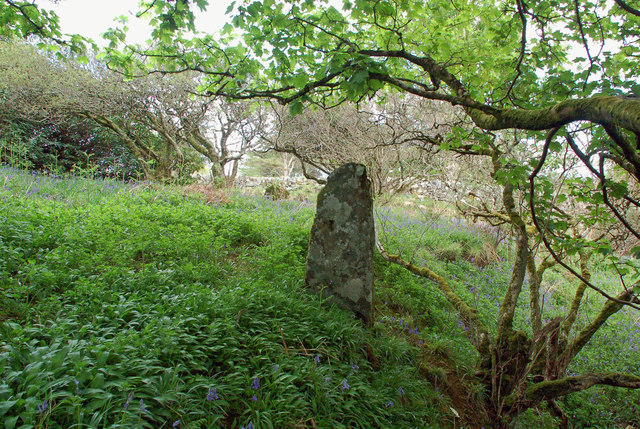
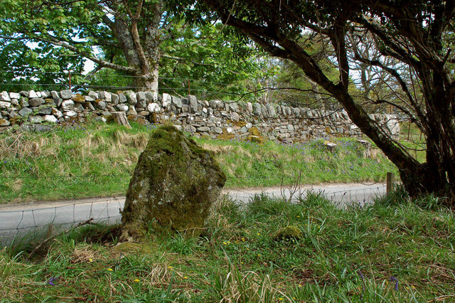
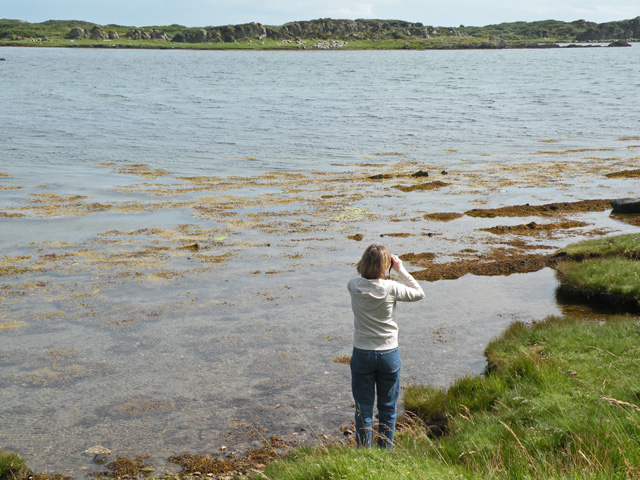
Sgeir Port na Gainmhich Images

Images are sourced within 2km of 55.646687/-6.0718784 or Grid Reference NR4346. Thanks to Geograph Open Source API. All images are credited.

Loch an t-Sailean A sea loch, with an irregular outline, famed for seal and birdlife.
Loch an t-Sailean
A sea loch, with an irregular outline, famed for seal and birdlife.
Seals on the rocks In Loch an t-Sàilein.
Seals on the rocks
In Loch an t-Sàilein.
Rocks at Rubha Buidhe In Loch an t-Sàilein.
Rocks at Rubha Buidhe
In Loch an t-Sàilein.
Local resident at Tigh- Na- Croitean Near Kildalton House.
Local resident at Tigh- Na- Croitean
Near Kildalton House.
House backing onto Loch a' Chnuic
Traigh Liath Rubha Thorrnish on the left.
Traigh Liath
Rubha Thorrnish on the left.
Hazel Coppice at Torr Mhuilinn Such woodland occurs extensively along the road to Ardtalla.
Hazel Coppice at Torr Mhuilinn
Such woodland occurs extensively along the road to Ardtalla.
Beech coming into leaf near Kildalton House
Milestone on the road to Ardtalla Slightly tipsy, but it reads 'PORT ELLEN V' on the top.
Milestone on the road to Ardtalla
Slightly tipsy, but it reads 'PORT ELLEN V' on the top.
Cnoc Rhaonastil With deciduous woodland and rough grazing.
Cnoc Rhaonastil
With deciduous woodland and rough grazing.
Milestone at Kildalton With Cnoc Rhaonastil beyond.
Milestone at Kildalton
With Cnoc Rhaonastil beyond.
Overlooking Ardilistry Bay From the road to Ardtalla from Port Ellen.
Overlooking Ardilistry Bay
From the road to Ardtalla from Port Ellen.
Old Milestone north of red Cottage, Kildalton and Oa parish Stone post by the UC road, in parish of Kildalton and Oa (Islay District), between woods, on verge by stone wall, Northwest side of road.

Inscription reads:-
PORT ELLEN
V

Surveyed

Milestone Society National ID: AB_IPEAT05
Old Milestone north of red Cottage, Kildalton and Oa parish
Stone post by the UC road, in parish of Kildalton and Oa (Islay District), between woods, on verge by stone wall, Northwest side of road. Inscription reads:- PORT ELLEN V Surveyed Milestone Society National ID: AB_IPEAT05
Old Milestone north of Loch an t-Sailein Milestone by the UC road, in parish of Kildalton and Oa (Islay District), by bay in Loch an t-Sailein, on verge.

Inscription reads:-
PORT ELLEN
IV

Surveyed

Milestone Society National ID: AB_IPEAT04
Old Milestone north of Loch an t-Sailein
Milestone by the UC road, in parish of Kildalton and Oa (Islay District), by bay in Loch an t-Sailein, on verge. Inscription reads:- PORT ELLEN IV Surveyed Milestone Society National ID: AB_IPEAT04
Loch a’ Chnuic A lovely wee inlet on Islay's south-east coast. The Gaelic name is Anglicised into Knock Bay.
Loch a’ Chnuic
A lovely wee inlet on Islay's south-east coast. The Gaelic name is Anglicised into Knock Bay.
Princess Ile's Stone Islay is said to have taken its name from the Danish Princess Ile (or Yule or Iula) who drowned just off shore here. According to the legend, her grave is marked by a standing stone above Knock Bay (Loch a' Chnuic) and anyone trying to open the grave will go mad.
The Canmore website confirms that the two standing stones at Clachan Ceann Ile do appear to be an ancient grave site but are probably not of prehistoric date. 
The taller and more imposing stone, 1.4m high, is situated on the edge of slope which must have provided a stunning view over Loch a' Chnuic before the trees grew there. It’s roughly pointed in shape, covered with moss and lichen and seems to have no carvings.
The smaller stone, 0.7m high, is located on the edge of the woodland next to the road. It's visible in the background of this shot.
Princess Ile's Stone
Islay is said to have taken its name from the Danish Princess Ile (or Yule or Iula) who drowned just off shore here. According to the legend, her grave is marked by a standing stone above Knock Bay (Loch a' Chnuic) and anyone trying to open the grave will go mad. The Canmore website confirms that the two standing stones at Clachan Ceann Ile do appear to be an ancient grave site but are probably not of prehistoric date. The taller and more imposing stone, 1.4m high, is situated on the edge of slope which must have provided a stunning view over Loch a' Chnuic before the trees grew there. It’s roughly pointed in shape, covered with moss and lichen and seems to have no carvings. The smaller stone, 0.7m high, is located on the edge of the woodland next to the road. It's visible in the background of this shot.
Standing Stone At Clachan Ceann Ile The Canmore website confirms that the two standing stones at Clachan Ceann Ile appear to be an ancient grave site but are probably not of prehistoric date. The smaller stone, 0.7m high, is located on the edge of the woodland next to the road. You’d be excused for driving past without noticing it. 
The taller and more imposing stone is located a few metres away in the woodland. <a href="https://www.geograph.org.uk/photo/6146337">NR4348 : Princess Ile's Stone</a> According to the legend, this one marks the grave of the Danish Princess Ile who gave her name to Islay.
Standing Stone At Clachan Ceann Ile
The Canmore website confirms that the two standing stones at Clachan Ceann Ile appear to be an ancient grave site but are probably not of prehistoric date. The smaller stone, 0.7m high, is located on the edge of the woodland next to the road. You’d be excused for driving past without noticing it. The taller and more imposing stone is located a few metres away in the woodland. NR4348 : Princess Ile's Stone According to the legend, this one marks the grave of the Danish Princess Ile who gave her name to Islay.
Loch nan Digl The area to the east of this loch has benefited from the clearance of rhododendron bushes.
Loch nan Digl
The area to the east of this loch has benefited from the clearance of rhododendron bushes.
Show me another place!

Sgeir Port na Gainmhich is located at Grid Ref: NR4346 (Lat: 55.646687, Lng: -6.0718784)

Unitary Authority: Argyll and Bute

Police Authority: Argyll and West Dunbartonshire

What 3 Words

///slider.goals.finishers. Near Port Ellen, Argyll & Bute

Related Wikis

Kildalton Castle

Kildalton Castle is a ruined Victorian country house near Port Ellen on the island of Islay in the Inner Hebrides, Argyll, Scotland. It was built in ashlar...

Loch an t-Sailein

Loch an t-Sailein is a sea loch at the southeast coast of Islay, Scotland. European seals frequently visit the shallow waters of this loch. A number of...

Ardilistry

Ardilistry is a settlement in Argyll and Bute, Scotland. == References ==

Ardbeg distillery

Ardbeg distillery (Scottish Gaelic: Taigh-staile na h-Àirde Bige) is a Scotch whisky distillery in Ardbeg on the south coast of the isle of Islay, Argyll...

Have you been to Sgeir Port na Gainmhich?

Leave your review of Sgeir Port na Gainmhich below (or comments, questions and feedback).