Sgeir a' Mharaich

Island in Ross-shire

Scotland

Sgeir a' Mharaich

Loch Dubh at Cromore
Loch Dubh at Cromore Credit: Alan Reid

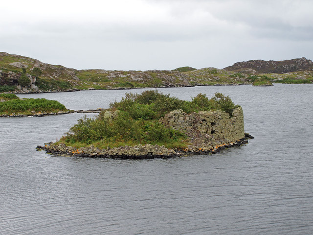
Sgeir a' Mharaich is a small uninhabited island located off the coast of Ross-shire in the Scottish Highlands. Situated in the Inner Sound, it lies approximately 1.5 kilometers west of the village of Plockton. The island is also known by its English name, "the Merchant's Skerry."

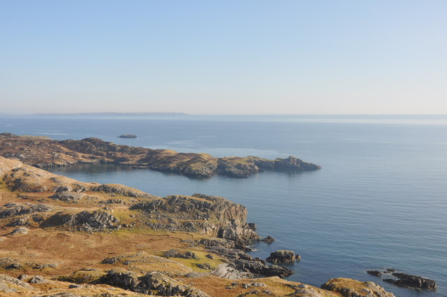
Covering an area of around 0.6 hectares, Sgeir a' Mharaich is primarily made up of exposed rock with little vegetation. The island is characterized by its rugged and rocky coastline, which is home to various seabird species, including guillemots and razorbills. The surrounding waters are rich in marine life, attracting seals and porpoises.

Access to the island is limited due to its remote location and lack of infrastructure. However, it can be reached by boat, and many visitors are drawn to its natural beauty and tranquility. It offers stunning panoramic views of the surrounding seascape and the nearby mainland.

Sgeir a' Mharaich is steeped in history, with archaeological remains indicating human presence in the area dating back to prehistoric times. The island's name suggests a connection to ancient trade routes, giving rise to speculation about its potential role as a trading point in the past.

Overall, Sgeir a' Mharaich is a picturesque and historically significant island, offering visitors a chance to explore its rugged coastline, observe wildlife, and immerse themselves in the natural beauty of the Scottish Highlands.

If you have any feedback on the listing, please let us know in the comments section below.

Sgeir a' Mharaich Images

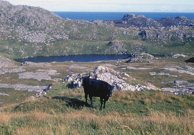
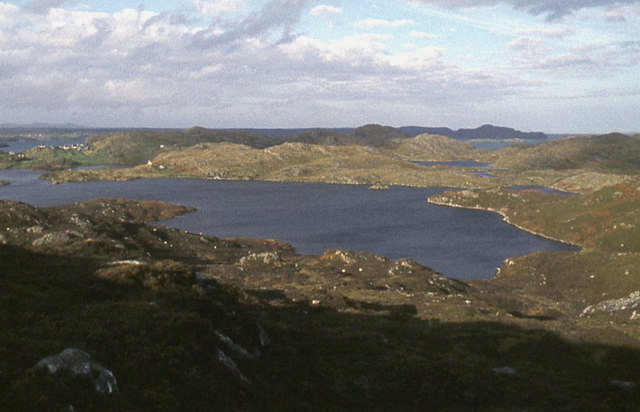
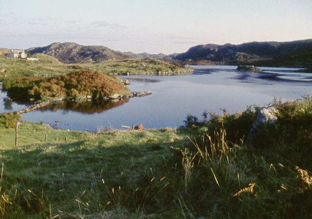
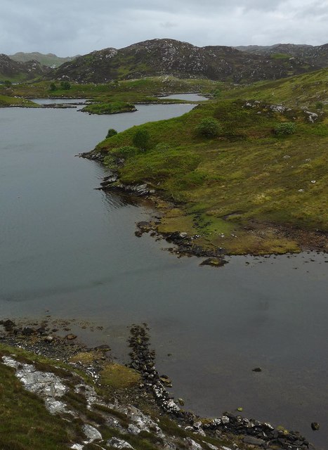
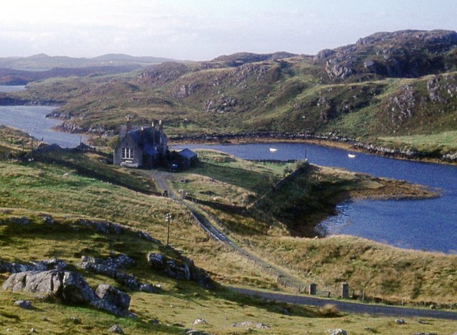
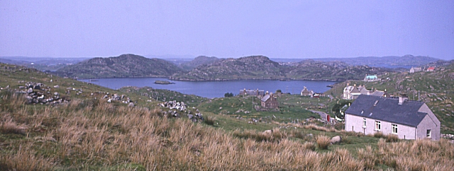
Images are sourced within 2km of 58.09181/-6.3904007 or Grid Reference NB4119. Thanks to Geograph Open Source API. All images are credited.
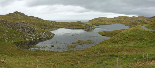
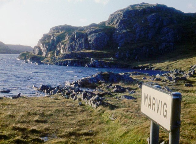
Loch Dubh at Cromore
Loch Chromor
Loch Chromor
Loch Chromor
Loch Chromor
Wall, Loch nam Bodach, Isle of Lewis From <span class="nowrap"><a title="https://canmore.org.uk/site/336071/ecc-41-loch-nam-bodach" rel="nofollow ugc noopener" href="https://canmore.org.uk/site/336071/ecc-41-loch-nam-bodach">Link</a><img style="margin-left:2px;" alt="External link" title="External link - shift click to open in new window" src="https://s1.geograph.org.uk/img/external.png" width="10" height="10"/></span> :"Situated on the north-western shore of Loch nam Bodach the remains of this wall run for 9 metres from west to east before turning south and running out into the loch for a further 3 metres. They are constructed entirely of stone, but terminate by a wooden post that might provide an aid for a person boarding a boat or for mooring a boat to a jetty".
Wall, Loch nam Bodach, Isle of Lewis
From LinkExternal link :"Situated on the north-western shore of Loch nam Bodach the remains of this wall run for 9 metres from west to east before turning south and running out into the loch for a further 3 metres. They are constructed entirely of stone, but terminate by a wooden post that might provide an aid for a person boarding a boat or for mooring a boat to a jetty".
Dun Cromore There is a significant portion of wall still standing.
Dun Cromore
There is a significant portion of wall still standing.
Loch na Buaile Duibhe The sea can just be seen in the distance.
Loch na Buaile Duibhe
The sea can just be seen in the distance.
Telephone Box, Marvig (Marbhig) In case you don't recognize the classic bright red K6 telephone box for what it is, there is a splendid enamelled sign with a wrought iron frame to make sure you do !
Telephone Box, Marvig (Marbhig)
In case you don't recognize the classic bright red K6 telephone box for what it is, there is a splendid enamelled sign with a wrought iron frame to make sure you do !
Loch Mharabhig from Rubha na h-Easgainn, Marvig Loch Mharabhig forms a natural harbour for the community of Marvig (Marbhig), the "capital" of the Lochs area of southeastern Lewis. The little islet which can be seen in the loch is Sgeir a' Bhuic.
Loch Mharabhig from Rubha na h-Easgainn, Marvig
Loch Mharabhig forms a natural harbour for the community of Marvig (Marbhig), the "capital" of the Lochs area of southeastern Lewis. The little islet which can be seen in the loch is Sgeir a' Bhuic.
Loch Mharabhig from the south This view into Loch Mharabhig is effectively out to sea, though there are various islands, islets and channels to navigate around to exit this natural harbour.
The nearest islet is Sgeir a'Bhuic while the slightly more distant one is Sgeir Ghlas
Loch Mharabhig from the south
This view into Loch Mharabhig is effectively out to sea, though there are various islands, islets and channels to navigate around to exit this natural harbour. The nearest islet is Sgeir a'Bhuic while the slightly more distant one is Sgeir Ghlas
Islet with purple flowers I thought at first that the purple flowers adding a dash of colour to this tiny islet in the middle of Loch a' Ghruagaich just south of Marvig (Marbhig) were rhododendrons - but on closer inspection I'm not so sure. They almost look like giant heather ... [Edit] Now confirmed - they are heather ... very healthy specimens !
Islet with purple flowers
I thought at first that the purple flowers adding a dash of colour to this tiny islet in the middle of Loch a' Ghruagaich just south of Marvig (Marbhig) were rhododendrons - but on closer inspection I'm not so sure. They almost look like giant heather ... [Edit] Now confirmed - they are heather ... very healthy specimens !
Mol nam Braithrean Looking towards the South Entrance of Loch Marvig. "Mol" is Gaelic for shingle and "braithrean" is brothers. People in the village talk of "going for a walk to the mol".
Mol nam Braithrean
Looking towards the South Entrance of Loch Marvig. "Mol" is Gaelic for shingle and "braithrean" is brothers. People in the village talk of "going for a walk to the mol".
Loch na Buaile Duibhe
Bench and pier on Loch Chaitiosbhal
West boundary of Marvig at Loch Caitiosbhal
Loch side road outside Marvig
Rough moor above Loch Mharabhig
The Old School, Cromore
Marbhig A sheltered sea-loch on the east coast of Lewis.
Marbhig
A sheltered sea-loch on the east coast of Lewis.
Show me another place!

Sgeir a' Mharaich is located at Grid Ref: NB4119 (Lat: 58.09181, Lng: -6.3904007)

Unitary Authority: Na h-Eileanan an Iar

Police Authority: Highlands and Islands

What 3 Words

///looked.skirting.enough. Near Leurbost, Na h-Eileanan Siar

Related Wikis

Cromore

Cromore (Scottish Gaelic: Crò Mòr) is a crofting township on the Isle of Lewis in the district of Pairc, in the Outer Hebrides, Scotland. The settlement...

Calbost

Calbost (Scottish Gaelic: Calabost) is a village on the Isle of Lewis in the Outer Hebrides, Scotland. Calbost is within the parish of Lochs, and within...

Eilean Chaluim Chille

Eilean Chaluim Chille (Gaelic: island of Saint Columba, Calum Cille) is an unpopulated island in the Outer Hebrides. It lies off the east coast of Lewis...

Cabharstadh

Cabharstadh or Caversta (Scottish Gaelic: Cabharstaigh) is a village on the Isle of Lewis in the Outer Hebrides, Scotland. Caversta is situated in the...

Nearby Amenities

Located within 500m of 58.09181,-6.3904007
Turning Circle
Lat/Long: 58.0883874/-6.3867308
Power: pole
Lat/Long: 58.0883369/-6.3864706
Power: pole
Lat/Long: 58.0879891/-6.3864248
Loch Mharabhaig
Alt Name: Loch Mharabhig
Natural: bay
Lat/Long: 58.0891763/-6.3926507
The data included in this document is from www.openstreetmap.org. The data is made available under ODbL.

Have you been to Sgeir a' Mharaich?

Leave your review of Sgeir a' Mharaich below (or comments, questions and feedback).