Sgeir na Comh-Stri

Island in Argyllshire

Scotland

Sgeir na Comh-Stri

Above Croig Beach We are just above Croig beach - a sandy beach with rocky outcrops.
Above Croig Beach Credit: Malcolm Neal

Sgeir na Comh-Stri is a small uninhabited island located off the west coast of Scotland, in Argyllshire. It is part of the Inner Hebrides archipelago and sits in the Sound of Mull, between the mainland and the Isle of Mull. The island covers an area of approximately 0.1 hectares and is predominantly rocky and rugged.

The name Sgeir na Comh-Stri translates to "rock of the battle" in Gaelic, which reflects the island's historical significance. It is believed to have been a gathering point for fierce battles between rival clans in ancient times.

The island's main feature is a prominent rocky outcrop, rising to a height of about 25 meters. This outcrop is surrounded by smaller rocks and is visible from the surrounding waters, making it an important navigational landmark for ships passing through the Sound of Mull.

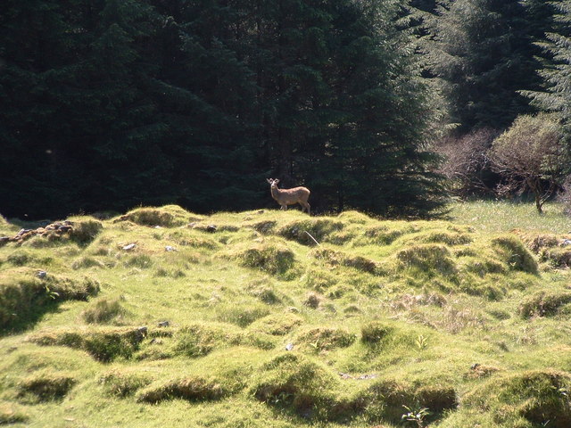
Due to its small size and lack of vegetation, Sgeir na Comh-Stri does not support any significant wildlife or plant species. However, it is occasionally visited by seabirds, including gulls and cormorants, which use the rocky outcrop for nesting and resting.

Access to Sgeir na Comh-Stri is limited, as it is not served by any regular ferry or boat services. However, it can be viewed from nearby locations on the Isle of Mull or from boats passing through the Sound of Mull, offering visitors a glimpse of its rugged beauty and historical significance.

If you have any feedback on the listing, please let us know in the comments section below.

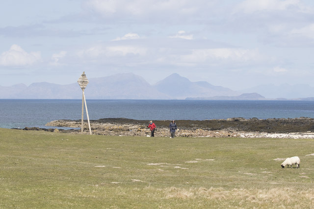
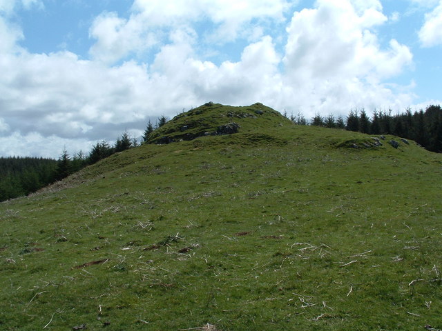
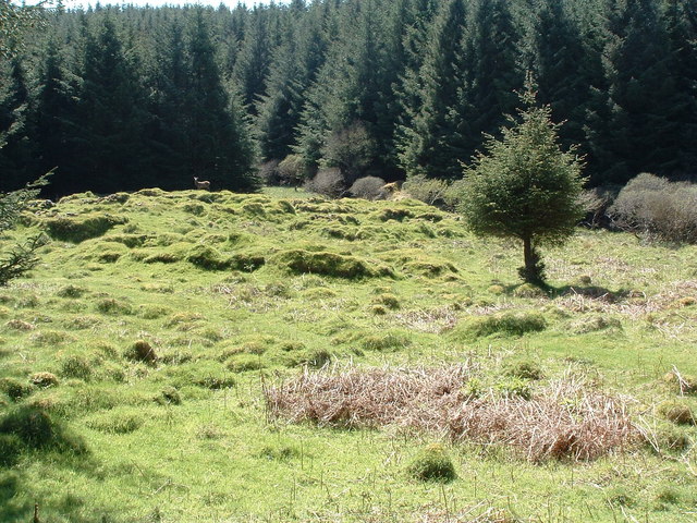
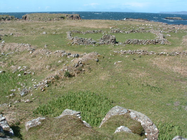
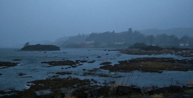
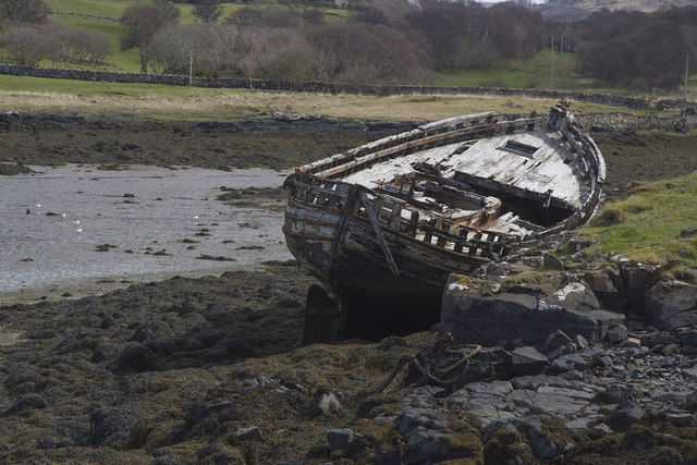
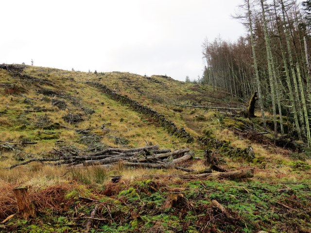
Sgeir na Comh-Stri Images

Images are sourced within 2km of 56.598442/-6.2161784 or Grid Reference NM4153. Thanks to Geograph Open Source API. All images are credited.

Above Croig Beach We are just above Croig beach - a sandy beach with rocky outcrops.
Above Croig Beach
We are just above Croig beach - a sandy beach with rocky outcrops.
Dun Mhadaidh Not much evidence of any sort of habitation but the hill itself.
Dun Mhadaidh
Not much evidence of any sort of habitation but the hill itself.
Kildavie Remains of settlement now surrounded by forestry. I'd wandered around for a bit then found a bit of higher ground to take the picture from, only then did I realise I wasn't alone.
Kildavie
Remains of settlement now surrounded by forestry. I'd wandered around for a bit then found a bit of higher ground to take the picture from, only then did I realise I wasn't alone.
My deer friend After a minute or so, long enough to get this shot, it turned and wandered off through the trees.
My deer friend
After a minute or so, long enough to get this shot, it turned and wandered off through the trees.
Dun Guaidhre Remains of the fort NW of Croig.
Dun Guaidhre
Remains of the fort NW of Croig.
View Across the Fields Towards Rubha Mor And the Quinish peninsula beyond across the entrance to the approached to Croig.
View Across the Fields Towards Rubha Mor
And the Quinish peninsula beyond across the entrance to the approached to Croig.
Am Birlinn restaurant On the B8073 near Penmore Mill.
Am Birlinn restaurant
On the B8073 near Penmore Mill.
The B8073 near Penmore Mill
Croig inlet, Mull Winter storm blowing in to Croig inlet, North-West Mull.
Croig inlet, Mull
Winter storm blowing in to Croig inlet, North-West Mull.
Wind-swept Loch a' Chumhainn, Dervaig Strong winds and driving rain across Loch a' Chumhainn, Dervaig
Wind-swept Loch a' Chumhainn, Dervaig
Strong winds and driving rain across Loch a' Chumhainn, Dervaig
Dead boat at Croig
Dead boat at Croig
Am Birlinn
Am Birlinn
The view from Croig The foreground is Mull but in the distance you can see the mainland on the right, and the Island of Skye behind that about 40+ miles away and on the left side Muck and Rhum.
The view from Croig
The foreground is Mull but in the distance you can see the mainland on the right, and the Island of Skye behind that about 40+ miles away and on the left side Muck and Rhum.
An abandoned boat A little way south of Croig this wooden boat is slowly rotting away.
An abandoned boat
A little way south of Croig this wooden boat is slowly rotting away.
Am Birlinn The impressive wooden structure of Am Birlinn seafood restaurant.
Am Birlinn
The impressive wooden structure of Am Birlinn seafood restaurant.
Old boundary wall in Dervaig Forest
Clearfell in Dervaig Forest below Beinn nan Dearcag
Old Milestone by the B8073, west of Dervaig Mull granite by the B8073, in parish of Kilfinichen and Kilvickeon (Mull District), over hill West of Dervaig, near entrance to Rowan Trees.

Inscription not known. 

Surveyed

Milestone Society National ID: AB_MLTMCL09
Old Milestone by the B8073, west of Dervaig
Mull granite by the B8073, in parish of Kilfinichen and Kilvickeon (Mull District), over hill West of Dervaig, near entrance to Rowan Trees. Inscription not known. Surveyed Milestone Society National ID: AB_MLTMCL09
Show me another place!

Sgeir na Comh-Stri is located at Grid Ref: NM4153 (Lat: 56.598442, Lng: -6.2161784)

Unitary Authority: Argyll and Bute

Police Authority: Argyll and West Dunbartonshire

What 3 Words

///vocab.press.bordering. Near Dervaig, Argyll & Bute

Related Wikis

Dervaig

Dervaig (Scottish Gaelic: Dearbhaig) is a small village on the Isle of Mull off the west coast of Scotland. The village is within the parish of Kilninian...

Eas Fors

Eas Fors is a waterfall on the island of Mull in Scotland. It is situated on the Ardow Burn south of Dervaig. There is another Eas Fors on the Allt an...

Calgary, Mull

Calgary is a hamlet on the northwest coast of the Isle of Mull, in Argyll and Bute, Scotland, United Kingdom. The hamlet is within the parish of Kilninian...

Calgary Castle

Calgary Castle, also known as Calgary House, is a 19th-century castellated Gothic mansion at Calgary on the Isle of Mull, Scotland. The mansion faces Calgary...

Nearby Amenities

Located within 500m of 56.598442,-6.2161784
Source: PGS
Lat/Long: 56.6003326/-6.2167232
Source: PGS
Lat/Long: 56.6005539/-6.2170161
Source: PGS
Lat/Long: 56.6006877/-6.2170086
Source: PGS
Lat/Long: 56.6005535/-6.2166254
Source: PGS
Lat/Long: 56.6003172/-6.2165428
Source: PGS
Lat/Long: 56.5998454/-6.2230485
Source: PGS
Lat/Long: 56.5993422/-6.2228238
Source: PGS
Lat/Long: 56.5991443/-6.2219997
Source: PGS
Lat/Long: 56.5988318/-6.22079
Source: PGS
Lat/Long: 56.599433/-6.2202916
Source: PGS
Lat/Long: 56.5992103/-6.2188532
Source: PGS
Lat/Long: 56.5979235/-6.2189431
Source: PGS
Lat/Long: 56.5976513/-6.2179842
Source: PGS
Lat/Long: 56.5970162/-6.2170253
Source: PGS
Lat/Long: 56.5971317/-6.2149576
Power: pole
Lat/Long: 56.5985196/-6.2241142
Power: pole
Lat/Long: 56.5983596/-6.2231744
Power: pole
Lat/Long: 56.5981872/-6.2221955
Power: pole
Lat/Long: 56.5977436/-6.2208766
Power: pole
Lat/Long: 56.5974055/-6.2199183
Power: pole
Lat/Long: 56.597157/-6.2191599
Power: pole
Lat/Long: 56.5968666/-6.2183418
Power: pole
Lat/Long: 56.5965364/-6.2173629
The data included in this document is from www.openstreetmap.org. The data is made available under ODbL.

Have you been to Sgeir na Comh-Stri?

Leave your review of Sgeir na Comh-Stri below (or comments, questions and feedback).