An Stac

Island in Argyllshire

Scotland

An Stac

Laggan Point Trig Point Flush Bracket S9000
Laggan Point Trig Point Flush Bracket S9000 Credit: thejackrustles

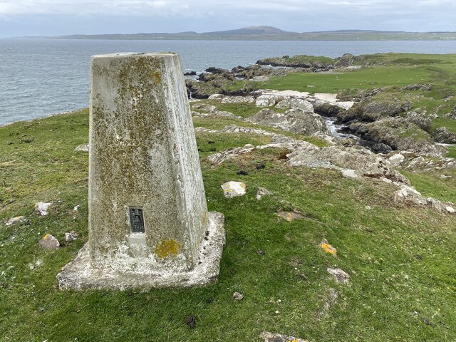
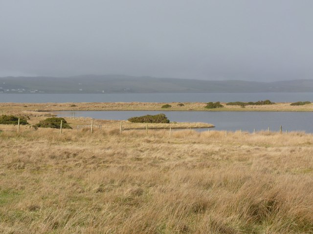
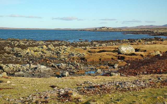
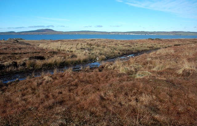
An Stac is a small island located in Argyllshire, Scotland. It is situated in the Inner Hebrides, specifically within the Sound of Jura. The island is part of a group of islands known as the Garvellachs, which also includes Eileach an Naoimh and Garbh Eileach. An Stac covers an area of approximately 43 hectares and has a maximum elevation of 104 meters.

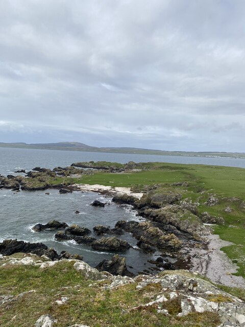
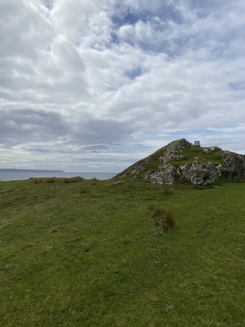
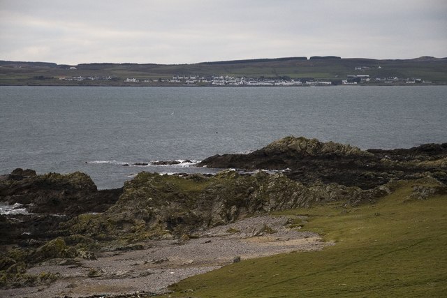
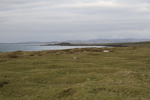
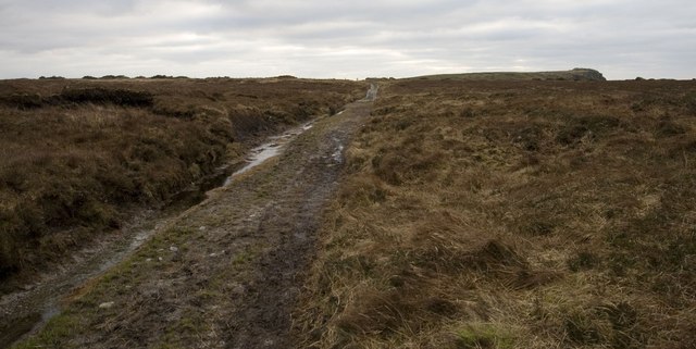
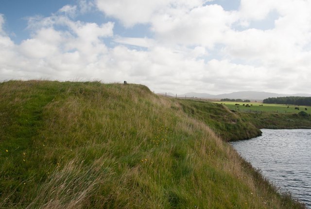
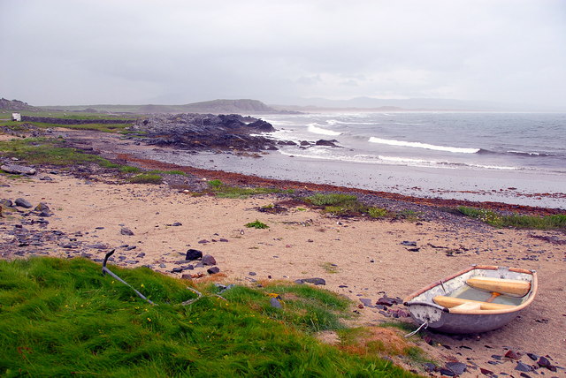
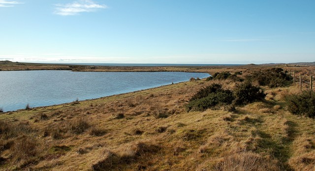
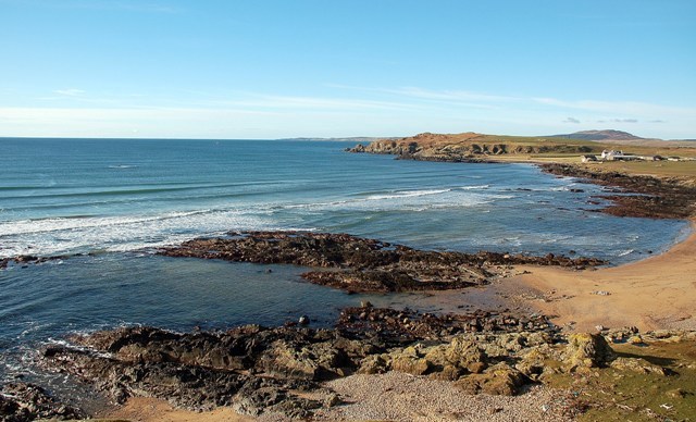
The island is known for its rugged and rocky terrain, with steep cliffs and hills dominating the landscape. It is mostly uninhabited and lacks any permanent structures, making it a popular destination for nature enthusiasts and outdoor adventurers. The island is home to a variety of wildlife, including seabirds such as puffins, guillemots, and razorbills.

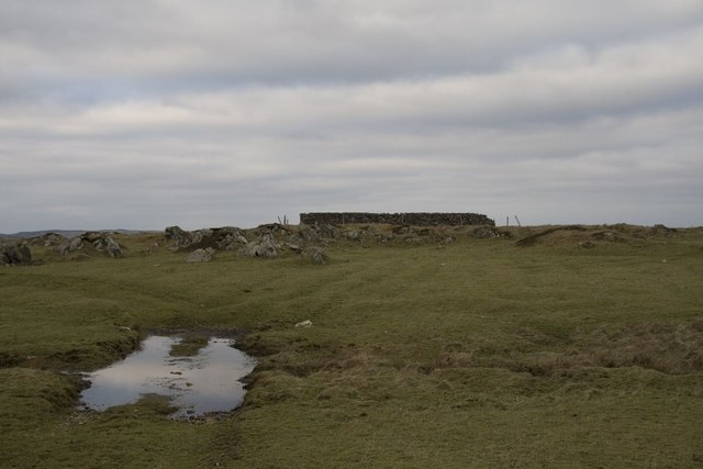
An Stac is also of historical and archaeological significance. The island is believed to have been a religious site in the past, with ruins of a medieval chapel and burial grounds still present. These remnants provide insight into the island's historical importance and religious practices of the time.

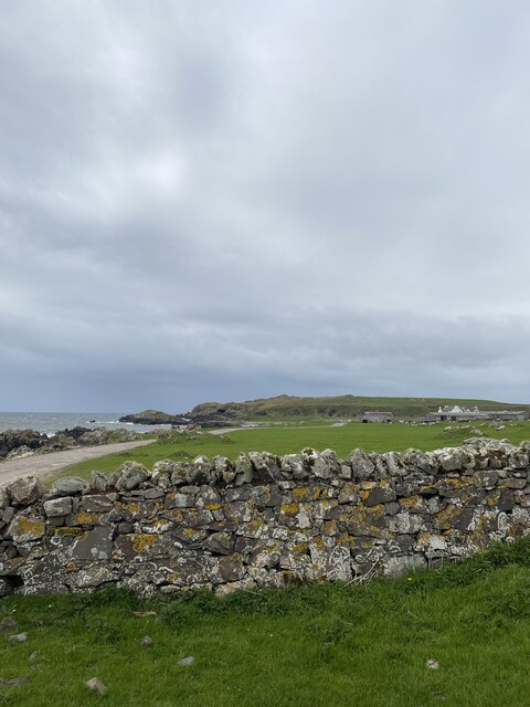
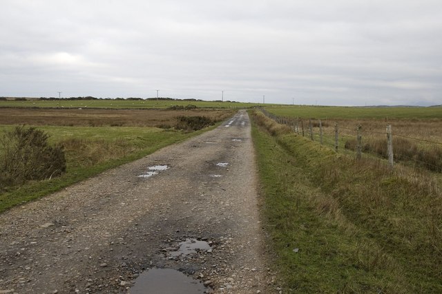
Access to An Stac is primarily by boat, with visitors often arriving from nearby Oban or other ports in the region. It is a popular spot for boat trips and excursions, allowing visitors to explore the island's natural beauty and historical sites. Due to its remote location and limited facilities, visitors are advised to come prepared with appropriate clothing, food, and equipment for their visit.

If you have any feedback on the listing, please let us know in the comments section below.

An Stac Images

Images are sourced within 2km of 55.717371/-6.3414862 or Grid Reference NR2755. Thanks to Geograph Open Source API. All images are credited.

Laggan Point Trig Point Flush Bracket S9000
Lovely coastal views
Location of Laggan Point Trig Point
View to Laggan Farm
View to Laggan Farm
The west end of Lochan na Nigheadaireachd, Islay With Loch Indaal and Port Charlotte village and lighthouse just visible in the distance.
The west end of Lochan na Nigheadaireachd, Islay
With Loch Indaal and Port Charlotte village and lighthouse just visible in the distance.
Looking across Loch Indaal to Port Charlotte, Islay
Lazy beds near Laggan, Islay
Old building and ford near Laggan, Islay
Rough grazing near Gartbreck, Islay
Track near Laggan, Islay Looking towards Laggan Point
Track near Laggan, Islay
Looking towards Laggan Point
Laggan Track, Islay
Laggan Track, Islay
Burial ground by River Laggan, Islay This burial ground was last used to bury a sailor washed ashore about 1840. It has gradually been eroded and probably much of the site, which once contained an old chapel, is under the River Laggan. A cross-shaft and incised slab from this site are preserved in the Museum of Islay Life at Port Charlotte.

For more information, visit: <span class="nowrap"><a title="http://canmore.rcahms.gov.uk/en/site/37297/details/islay+laggan/" rel="nofollow ugc noopener" href="http://canmore.rcahms.gov.uk/en/site/37297/details/islay+laggan/">Link</a><img style="margin-left:2px;" alt="External link" title="External link - shift click to open in new window" src="https://s1.geograph.org.uk/img/external.png" width="10" height="10"/></span>
Burial ground by River Laggan, Islay
This burial ground was last used to bury a sailor washed ashore about 1840. It has gradually been eroded and probably much of the site, which once contained an old chapel, is under the River Laggan. A cross-shaft and incised slab from this site are preserved in the Museum of Islay Life at Port Charlotte. For more information, visit: LinkExternal link
Port Ghillebride, Laggan, Islay Looking towards Laggan Bay on a wet and windy day.
Port Ghillebride, Laggan, Islay
Looking towards Laggan Bay on a wet and windy day.
Fionn Phort This lovely little sandy bay lies on the coastal path between Bowmore and Laggan, on the island of Islay.  Viewed on a fine but chilly February morning.
Fionn Phort
This lovely little sandy bay lies on the coastal path between Bowmore and Laggan, on the island of Islay. Viewed on a fine but chilly February morning.
Towards Gartbreck Looking along the Islay coastline towards Gartbreck Farm, in another square.
Towards Gartbreck
Looking along the Islay coastline towards Gartbreck Farm, in another square.
Ford On The Coastal Path The Explorer map shows this wet area as a ford on the track between Bowmore and Laggan.  Port Charlotte, on the other side of Loch Indaal, is visible in the distance.
Ford On The Coastal Path
The Explorer map shows this wet area as a ford on the track between Bowmore and Laggan. Port Charlotte, on the other side of Loch Indaal, is visible in the distance.
Lochan na Nigheadaireachd The western end of Lochan na Nigheadaireachd, with Loch Indaal visible in the background.
Lochan na Nigheadaireachd
The western end of Lochan na Nigheadaireachd, with Loch Indaal visible in the background.
One Of Islay's Finest Views Looking towards Laggan Point from the Iron Age hill fort on Cnoc Ebric.  Viewed on a beautiful February day, this must be one of Islay's finest views.  Laggan Farm, on the right-hand side of this shot, lies in the next square.
One Of Islay's Finest Views
Looking towards Laggan Point from the Iron Age hill fort on Cnoc Ebric. Viewed on a beautiful February day, this must be one of Islay's finest views. Laggan Farm, on the right-hand side of this shot, lies in the next square.
Show me another place!

An Stac is located at Grid Ref: NR2755 (Lat: 55.717371, Lng: -6.3414862)

Unitary Authority: Argyll and Bute

Police Authority: Argyll and West Dunbartonshire

What 3 Words

///structure.boil.variety. Near Port Charlotte, Argyll & Bute

Related Wikis

River Laggan

The River Laggan is a small river on the Scottish island of Islay. Having gathered the waters of the Kilennan River, Barr River and Duich River / Torra...

Clark Cottage

Clark Cottage is a residential building in the Scottish village of Port Charlotte on the island of Islay. The building is on the eastern side of Main Street...

Port Charlotte, Islay

Port Charlotte (Scottish Gaelic: Port Sgioba) is a village on the island of Islay in the Inner Hebrides, Scotland. It was founded in 1828. In 1991 it...

Port Charlotte distillery

Port Charlotte distillery (also known as Rhins distillery and Lochindaal distillery) was a Scotch whisky distillery on the island of Islay, off the west...
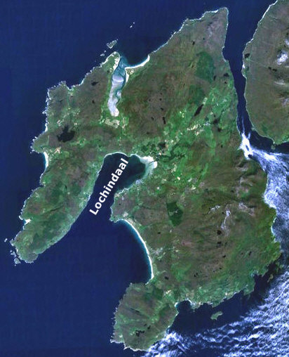
Loch Indaal

Loch Indaal (or Lochindaal) is a sea loch on Islay, the southernmost island of the Hebrides, off the west coast of Scotland. Together with Loch Gruinart...

A847 road

The A847 road is one of the two principal roads of Islay in the Inner Hebrides off the west coast of mainland Scotland. It connects Bridgend, at a junction...

Nerabus

Nerabus (otherwise Nereabolls) is a hamlet in the west of the isle of Islay in Scotland. The vicinity is noted for its scenic qualities and diverse birdlife...

Eilean na Muice Duibhe

Eilean na Muice Duibhe, also known as Duich Moss, is an area of low-level blanket mire on the island of Islay, off the west coast of Scotland. Located...

Nearby Amenities

Located within 500m of 55.717371,-6.3414862
Laggan Point
Natural: cape
Lat/Long: 55.716579/-6.3407407
The data included in this document is from www.openstreetmap.org. The data is made available under ODbL.

Have you been to An Stac?

Leave your review of An Stac below (or comments, questions and feedback).