Achadh an t-Suidhe
Settlement in Ross-shire
Scotland
Achadh an t-Suidhe
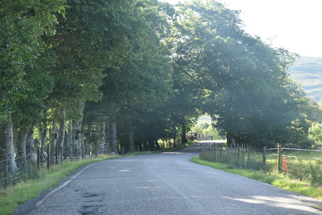
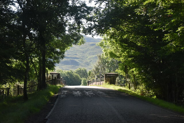
Achadh an t-Suidhe is a small village located in Ross-shire, a historic county in the Scottish Highlands. Situated in the northern part of the county, Achadh an t-Suidhe is surrounded by stunning natural beauty, with rolling hills, lush green fields, and breathtaking views of the nearby Loch Carron.
The village itself consists of a handful of traditional stone houses, giving it a quaint and charming atmosphere. The population is relatively small, with around 100 residents, creating a tight-knit community where neighbors are familiar faces.
Achadh an t-Suidhe is known for its peaceful and tranquil ambiance, making it an ideal retreat for those seeking solace in nature. The area is perfect for outdoor enthusiasts, offering various activities such as hiking, fishing, and wildlife spotting. The nearby loch attracts anglers from all over, as it is renowned for its abundance of trout and salmon.
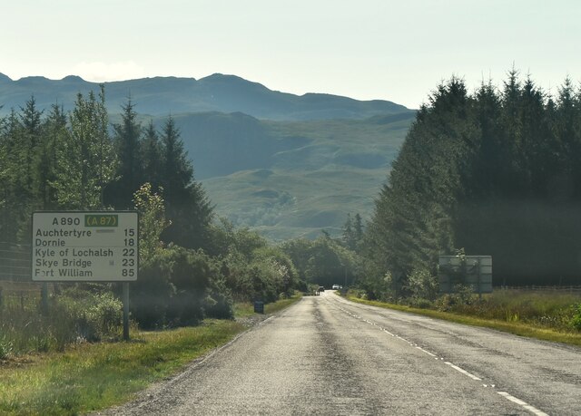
Although Achadh an t-Suidhe is a secluded village, it is conveniently located within easy reach of larger towns and cities. The town of Kyle of Lochalsh is approximately 10 miles to the west, providing amenities such as shops, restaurants, and transportation links. Additionally, the iconic Isle of Skye can be accessed via the Skye Bridge, just a short drive away.
In summary, Achadh an t-Suidhe provides a tranquil haven amidst the picturesque Scottish Highlands. Its natural beauty, friendly community, and proximity to amenities make it an appealing destination for those seeking a peaceful escape.
If you have any feedback on the listing, please let us know in the comments section below.
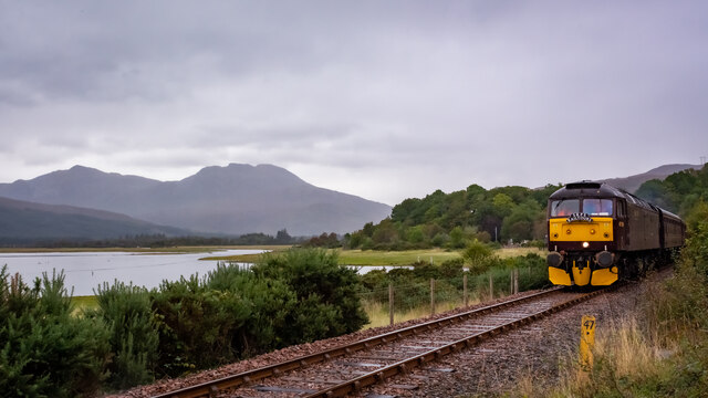
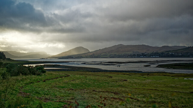
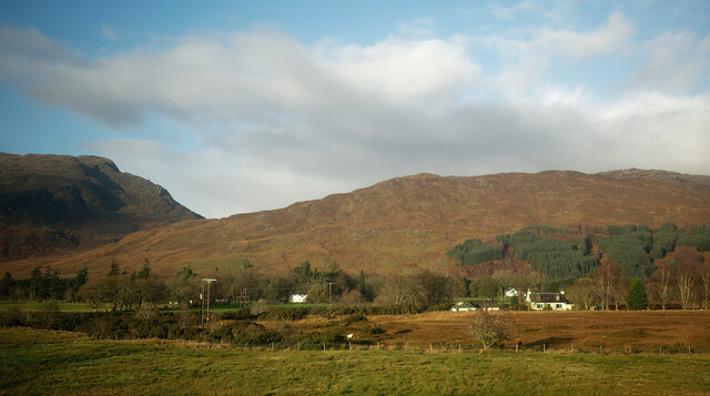
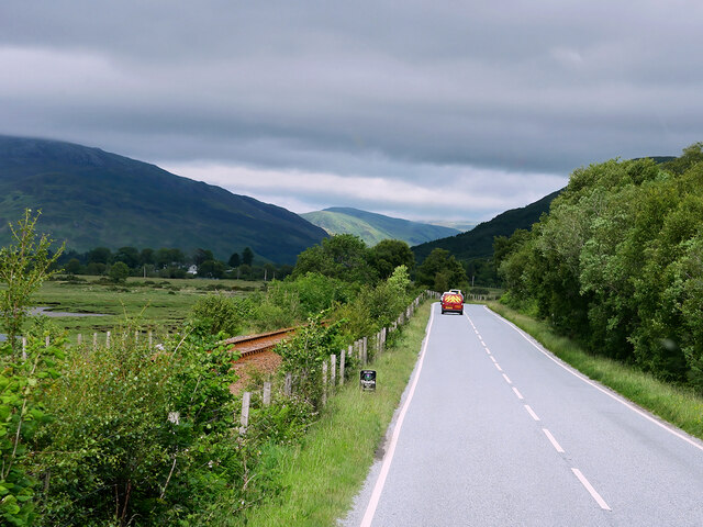
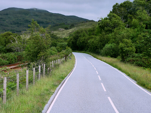
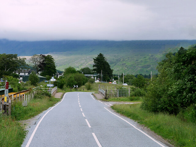
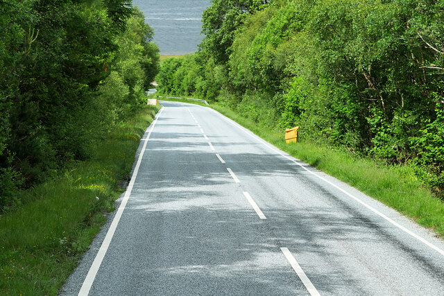
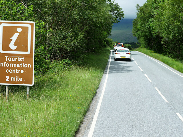
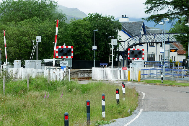
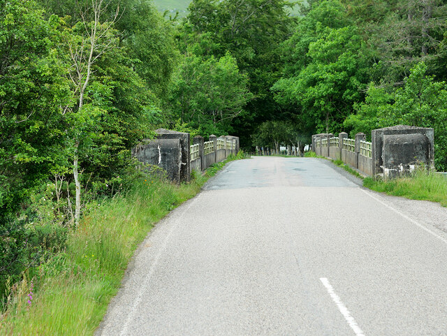
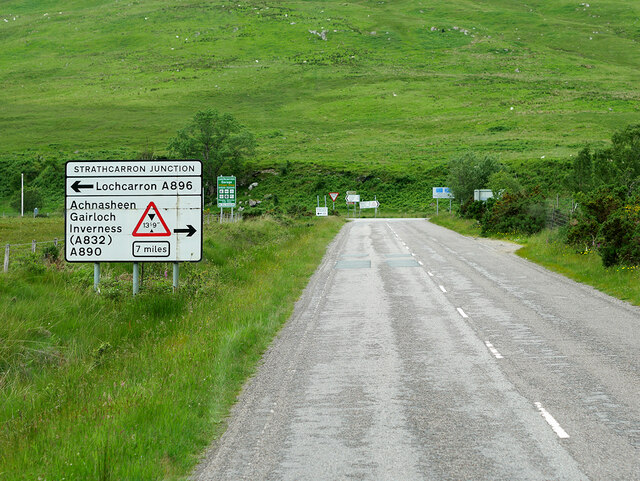
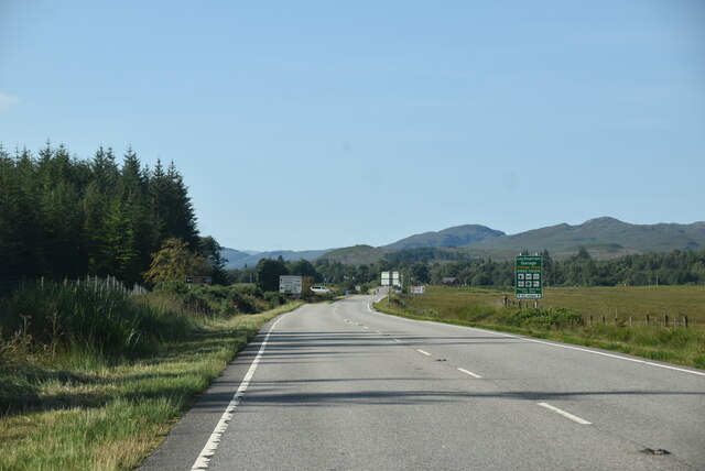
Achadh an t-Suidhe Images
Images are sourced within 2km of 57.41892/-5.429289 or Grid Reference NG9441. Thanks to Geograph Open Source API. All images are credited.

Achadh an t-Suidhe is located at Grid Ref: NG9441 (Lat: 57.41892, Lng: -5.429289)
Unitary Authority: Highland
Police Authority: Highlands and Islands
Also known as: Achintee
What 3 Words
///choppers.wired.fabric. Near Lochcarron, Highland
Nearby Locations
Related Wikis

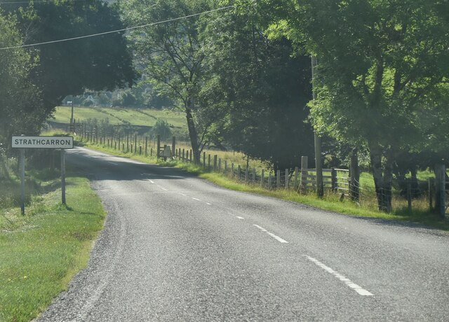
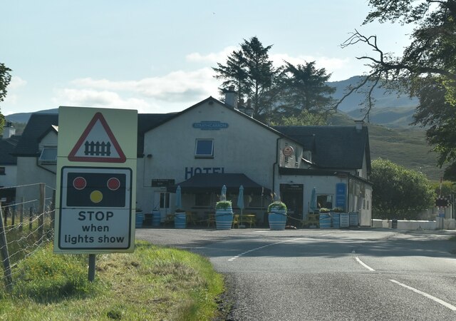
Strathcarron railway station
Strathcarron railway station is a remote railway station on the Kyle of Lochalsh Line, serving the small village of Strathcarron and the larger village...

Strathcarron, Highland
Strathcarron (Scottish Gaelic: Srath Carrann) is a hamlet, in the Highland council area of Scotland. == Geography == It is situated at the head of the...

River Carron, Wester Ross
River Carron (Scottish Gaelic: Carrann, pronounced [ˈkʰaᵲən̴̪]) is a west coast river in Wester Ross, in the Highlands of Scotland. The river rises in...
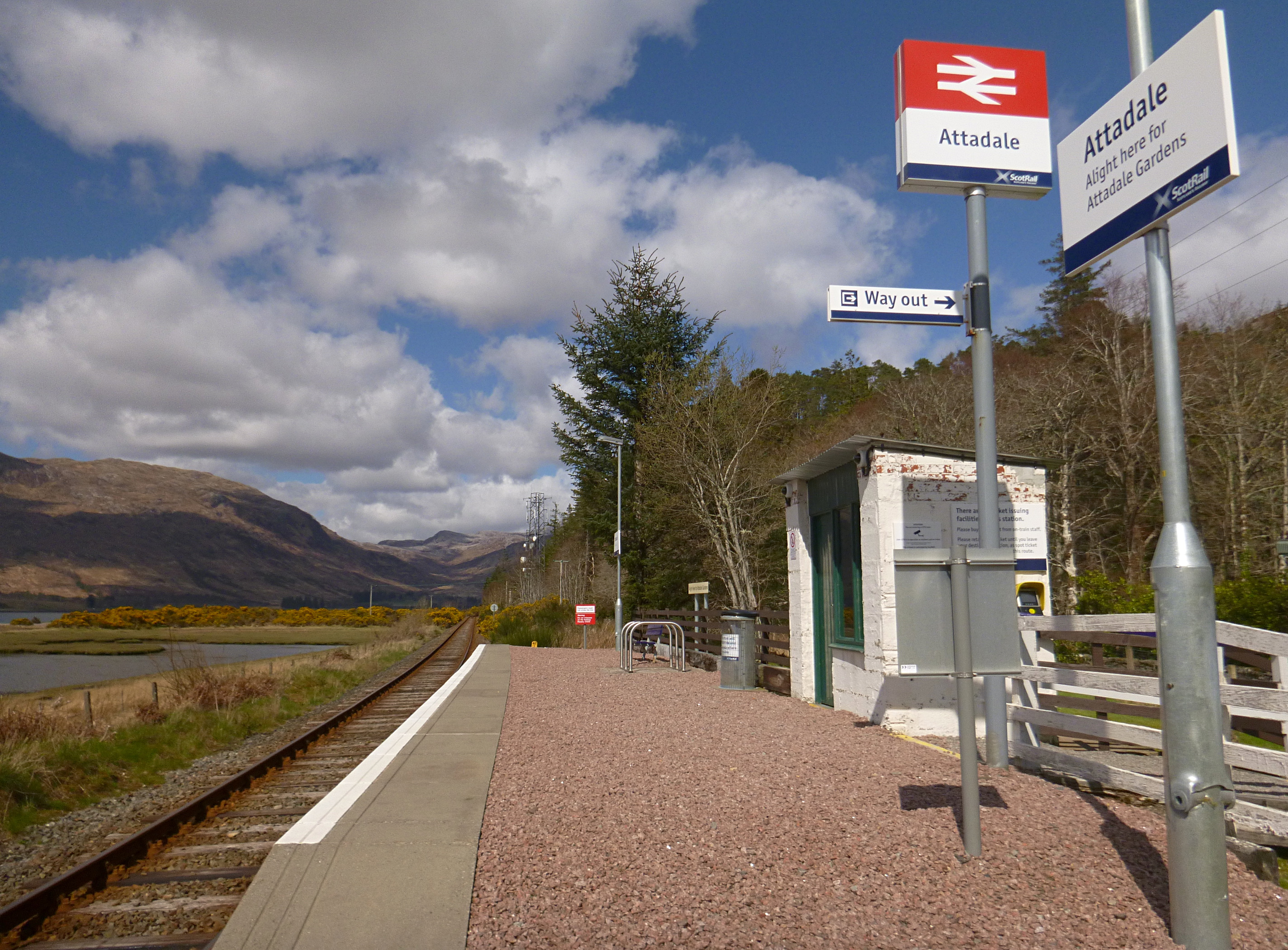
Attadale railway station
Attadale railway station is a remote railway station on the Kyle of Lochalsh Line, serving the village of Attadale on Loch Carron in the Highlands, northern...

Attadale, Scotland
Attadale (Gaelic: Attadal ) is a settlement and estate in Wester Ross, in the Highland council area of Scotland. It is on the southern shore of Loch Carron...

Coulags
Coulags (Scottish Gaelic: Na Cùileagan) is a small hamlet in Glen Carron in Strathcarron, west Ross-shire, Scottish Highlands and is in the Scottish...

Lochcarron
Lochcarron (Scottish Gaelic: Loch Carrann) is a village, community and civil parish in the Wester Ross area of Highland, Scotland. It has a population...

Balnacra
Balnacra (Scottish Gaelic: Beul-àtha na Crà) is a village in Strathcarron, Ross-Shire, Scotland, roughly seven miles from the village of Lochcarron. It...
Nearby Amenities
Located within 500m of 57.41892,-5.429289Have you been to Achadh an t-Suidhe?
Leave your review of Achadh an t-Suidhe below (or comments, questions and feedback).