An Carraigean

Island in Argyllshire

Scotland

An Carraigean

Looking south from Ceann Fasachd Looking due south, and the next bit of land is Islay.
Looking south from Ceann Fasachd Credit: Gordon Brown

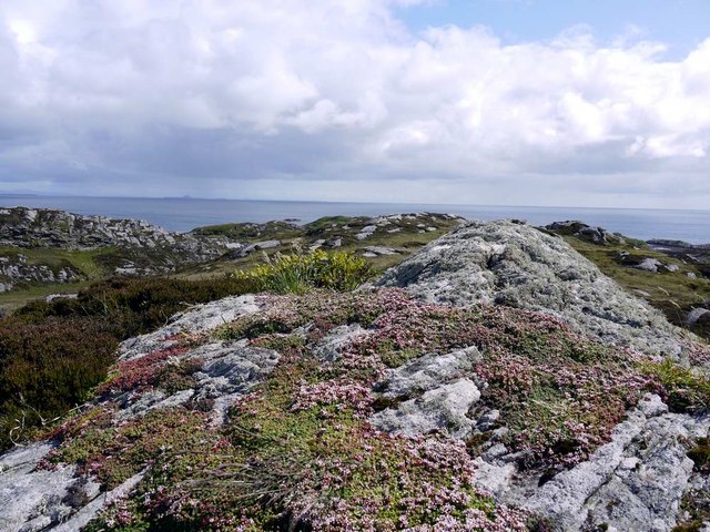
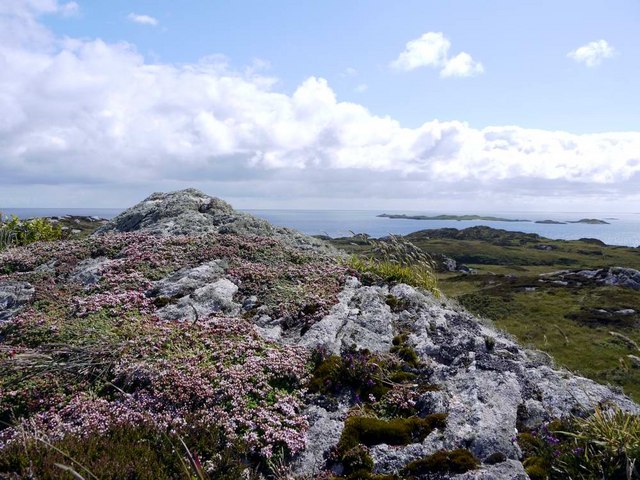
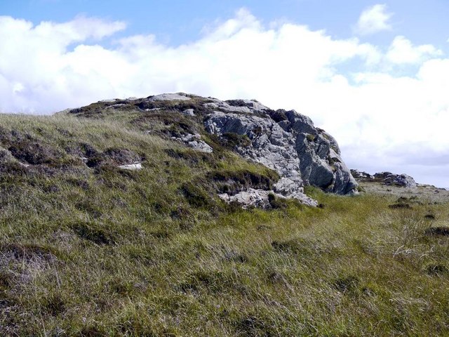
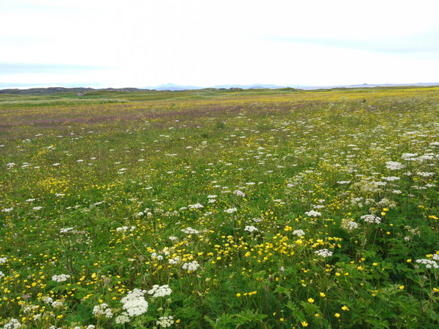
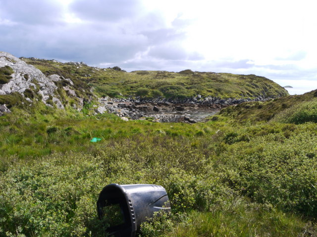
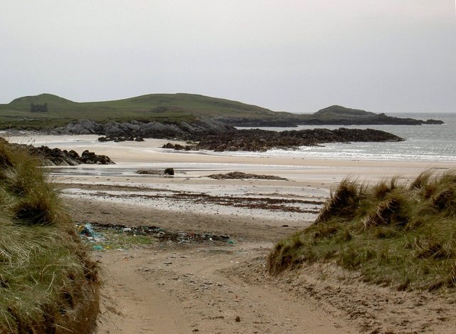
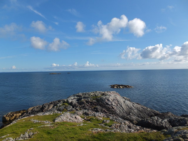
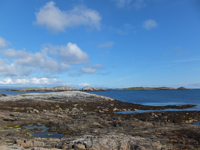
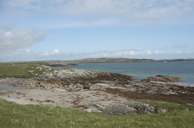
An Carraigean is a small island located in Argyllshire, Scotland. It is situated off the west coast of Scotland, near the larger island of Mull. The island is known for its rugged and picturesque landscapes, with steep cliffs and rocky shores.

Covering an area of approximately 5 square kilometers, An Carraigean is sparsely populated, with only a handful of residents. The island is primarily used for agricultural purposes, with some sheep farming and limited arable land.

The climate on An Carraigean is typical of the Scottish west coast, characterized by mild temperatures and high levels of rainfall throughout the year. The island experiences strong winds and often cloudy skies, adding to its wild and untamed charm.

Visitors to An Carraigean can enjoy exploring its natural beauty, with opportunities for hiking and birdwatching. The island is home to a variety of bird species, including puffins, gannets, and guillemots, making it a popular destination for bird enthusiasts.

Access to An Carraigean is mainly by boat, with regular ferry services connecting the island to the mainland and nearby islands. The island has limited amenities, with no shops or restaurants, so visitors are advised to bring their own supplies.

Overall, An Carraigean offers a peaceful and unspoiled escape for those seeking a remote and rugged island experience in the beautiful region of Argyllshire.

If you have any feedback on the listing, please let us know in the comments section below.

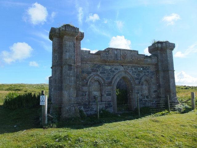
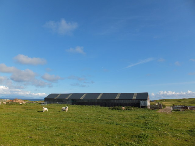
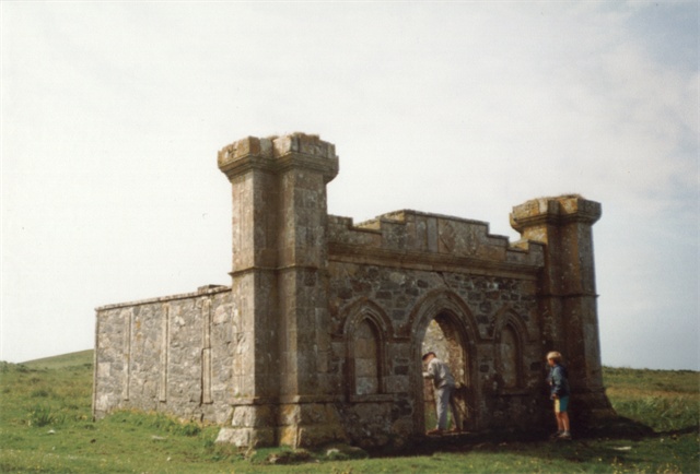
An Carraigean Images

Images are sourced within 2km of 56.569777/-6.628449 or Grid Reference NM1551. Thanks to Geograph Open Source API. All images are credited.

Looking south from Ceann Fasachd Looking due south, and the next bit of land is Islay.
Looking south from Ceann Fasachd
Looking due south, and the next bit of land is Islay.
Looking south-west from Ceann Fasachd The island of Soa and outlying skerries in the distance.
Looking south-west from Ceann Fasachd
The island of Soa and outlying skerries in the distance.
Small rock outcrop on Ceann Fasachd
There's a corncrake in there somewhere! Coll's machair in full bloom, and the haunting rasp of the corncrake calling.  It's in there somewhere but this elusive bird cannot be seen in the long vegetation.  The island of Bac Mor (Dutchman's Cap) in the right distance.
There's a corncrake in there somewhere!
Coll's machair in full bloom, and the haunting rasp of the corncrake calling. It's in there somewhere but this elusive bird cannot be seen in the long vegetation. The island of Bac Mor (Dutchman's Cap) in the right distance.
Inlet at the east side of Loch Breachacha
Traigh Chrossapol
Traigh Chrossapol
Rocky outcrop on Eilean Tomulam
Looking over to Soa
Looking over to Soa
Standing stone by Breachacha
Tràigh Chrossapol
Tràigh Chrossapol
Maclean Burial Ground, Isle of Coll According to the RCAHMS Canmore website, this small burial-enclosure of the MacLean family standing above the east shore of Crossapol Bay was commissioned by Alexander Maclean, 15th of Coll in 1835 on the death of his wife. He, his wife and a family friend were all interred here.
Maclean Burial Ground, Isle of Coll
According to the RCAHMS Canmore website, this small burial-enclosure of the MacLean family standing above the east shore of Crossapol Bay was commissioned by Alexander Maclean, 15th of Coll in 1835 on the death of his wife. He, his wife and a family friend were all interred here.
Farm building at Ardnish, Isle of Coll
Coll - Breachacha - Standing Stone Situated 1km (0.6 miles) SW of Breachacha Castle on the eastern side of the track to Crossapol Bay, stands to a height of c. 1.5m with cross section of c. 1m x 0.6m
It has a rounded top and leans at about 12°
Coll - Breachacha - Standing Stone
Situated 1km (0.6 miles) SW of Breachacha Castle on the eastern side of the track to Crossapol Bay, stands to a height of c. 1.5m with cross section of c. 1m x 0.6m It has a rounded top and leans at about 12°
Track to Crossapol Very sandy access road to farmland in the west of Coll, via the beach.
Track to Crossapol
Very sandy access road to farmland in the west of Coll, via the beach.
Tràigh Chrossapol The eastern end of the long beach.
Tràigh Chrossapol
The eastern end of the long beach.
Loch Breachacha This is a similar view over the loch as the castles would have enjoyed.
Loch Breachacha
This is a similar view over the loch as the castles would have enjoyed.
Burial Place A small burial chamber in the style of a small castle at the east end of Crossapol Bay.
Burial Place
A small burial chamber in the style of a small castle at the east end of Crossapol Bay.
Beach near Port-na-Luing, Coll Looking northeastwards at small Hebridean beach in the south of map square and typical of this stretch of coastline in southern Coll. Beyond lies the mouth of the sea loch Breachacha.
Beach near Port-na-Luing, Coll
Looking northeastwards at small Hebridean beach in the south of map square and typical of this stretch of coastline in southern Coll. Beyond lies the mouth of the sea loch Breachacha.
Show me another place!

An Carraigean is located at Grid Ref: NM1551 (Lat: 56.569777, Lng: -6.628449)

Unitary Authority: Argyll and Bute

Police Authority: Argyll and West Dunbartonshire

What 3 Words

///frost.melt.overlaps. Near Arinagour, Argyll & Bute

Related Wikis

Breachacha crannog

The Breachacha crannog is a crannog located near Loch Breachacha, on the Inner Hebridean island of Coll. The crannog is recognised in the United Kingdom...

Breachacha Castle

Breachacha Castle (also spelled Breacachadh) is either of two structures on the shore of Loch Breachacha, on the Inner Hebridean island of Coll, Scotland...

Coll Airport

Coll Island Airport (IATA: COL, ICAO: EGEL) (Scottish Gaelic: Port-adhair Cholla) is located 5 NM (9.3 km; 5.8 mi) west southwest of Arinagour on the island...

Dùn an Achaidh

Dùn an Achaidh, sometimes Anglicised as Dun Acha, is a dun located near the village of Acha on the Inner Hebridean island of Coll. It is considered the...

Acha, Coll

Acha (Gaelic: An t-Achadh, tranlsating to "The Field") is a small hamlet on the Scottish island of Coll. == References == == See also == Dùn an Achaidh...

Dùn Beic

Dùn Beic is a dun located on the Inner Hebridean island of Coll. It is located at grid reference NM15495644 and is thought to date to between 1000 BCE...

Gunna, Scotland

Gunna (Gaelic: Gunnaigh) is an island in the Inner Hebrides of Scotland. == Geography and geology == Gunna lies between Coll and Tiree, closer to Coll...

Totamore dun

Totamore Dun is a dun located at grid reference NM17625713; near the settlement of Totamore, on the Inner Hebridean island of Coll. It occupies the summit...

Nearby Amenities

Located within 500m of 56.569777,-6.628449
Natural: rock
Source: OS7
Tidal: yes
Lat/Long: 56.5697892/-6.6280753
The data included in this document is from www.openstreetmap.org. The data is made available under ODbL.

Have you been to An Carraigean?

Leave your review of An Carraigean below (or comments, questions and feedback).