Eilean a' Mhùrain

Island in Argyllshire

Scotland

Eilean a' Mhùrain

McNeil's Bay, Gunna
McNeil's Bay, Gunna Credit: Graham Taylor

Eilean a' Mhùrain, also known as Island of the Dead, is a small uninhabited island located in Argyllshire, Scotland. Situated in Loch Leven, the island is approximately 2 miles southeast of Ballachulish village.

The island gets its name from the ancient graveyard that occupies much of its land. The graveyard is believed to have been in use since the 7th century and contains the remains of several notable figures from Scottish history. The island is considered a place of great historical and cultural significance.

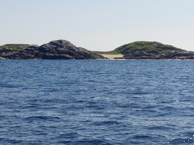
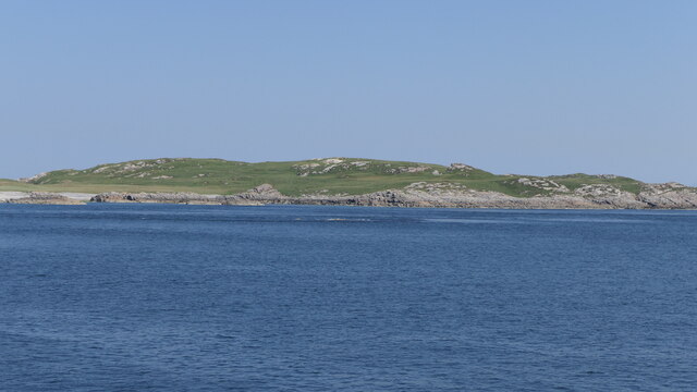
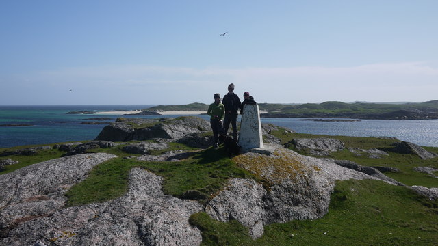
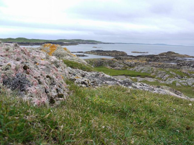
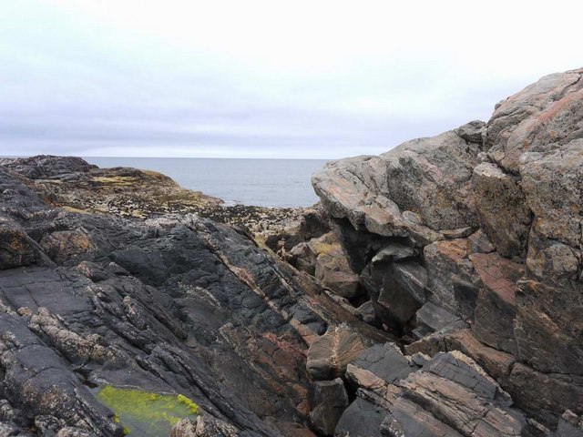
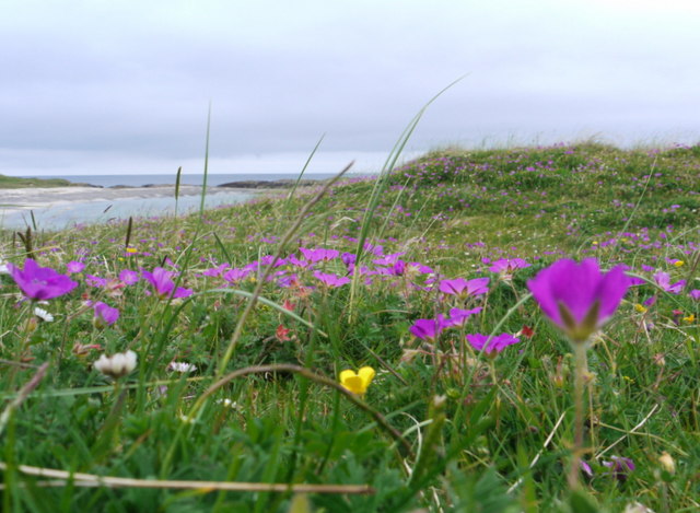
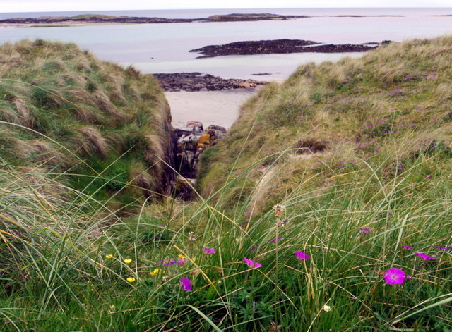
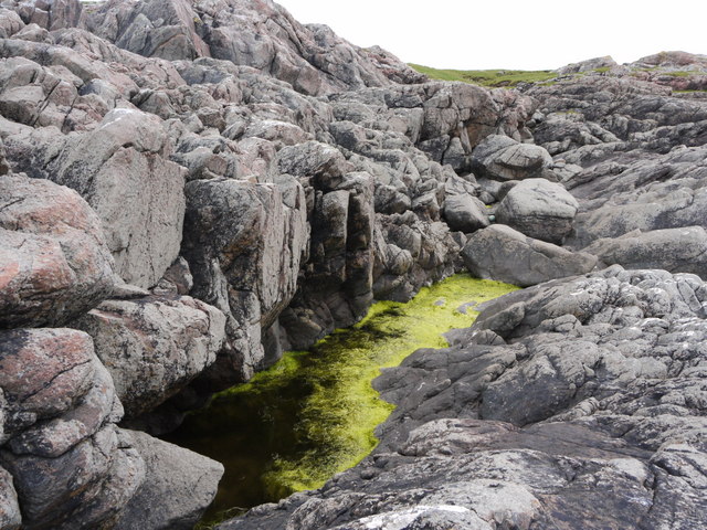
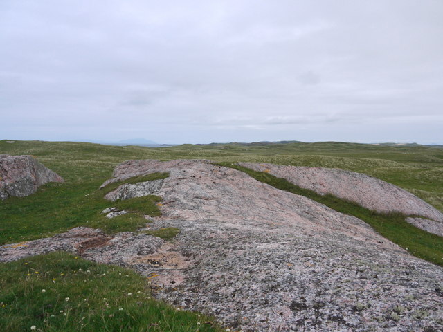
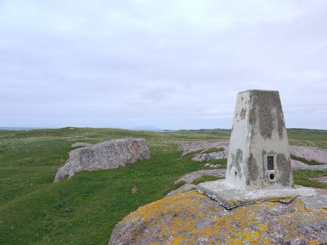
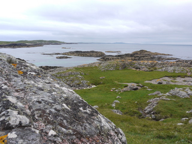
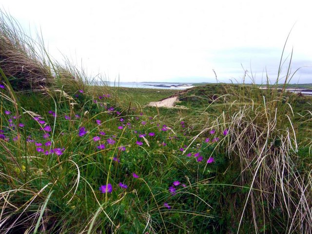
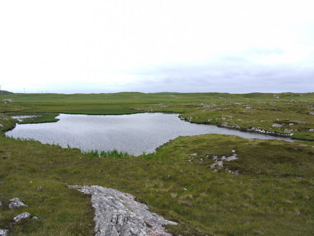
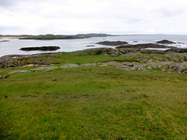
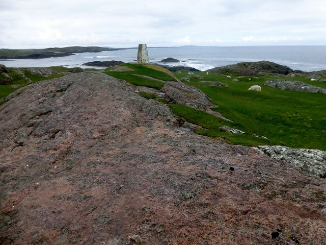
Eilean a' Mhùrain is surrounded by stunning natural beauty, with its rugged coastline, rocky cliffs, and lush vegetation. The island is accessible by boat, and visitors are often drawn to its peaceful and serene atmosphere.

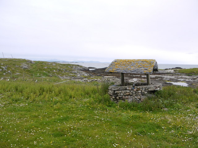
Aside from the graveyard, there are few structures on the island. The ruins of a small chapel, dedicated to St. Fintan, can be found near the center of the island. This chapel is believed to have been built in the 13th century and served as a place of worship for the local population.

Today, Eilean a' Mhùrain remains a popular destination for history enthusiasts, nature lovers, and those seeking a tranquil retreat. Visitors can explore the island's rich history, enjoy breathtaking views, and experience a sense of calm in this remote and picturesque location.

If you have any feedback on the listing, please let us know in the comments section below.

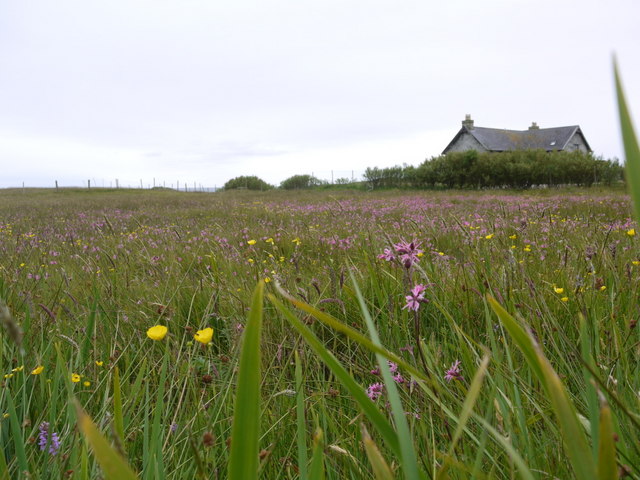
Eilean a' Mhùrain Images

Images are sourced within 2km of 56.566054/-6.7051913 or Grid Reference NM1151. Thanks to Geograph Open Source API. All images are credited.

McNeil's Bay, Gunna
McNeil's Bay, Gunna
Gunna The 36m highpoint of the island at the west end.
Gunna
The 36m highpoint of the island at the west end.
West end of Gunna
West end of Gunna
Trig point at Calgary Point
Calgary Point Looking over to Gunna
Calgary Point
Looking over to Gunna
Rock outcrops near Calgary Point
The machair in bloom at Traigh Halum
Rocky inlet at Traigh Halum Bloody cranesbill, daisies and buttercups in bloom in the machair.
Rocky inlet at Traigh Halum
Bloody cranesbill, daisies and buttercups in bloom in the machair.
Weedy tide-pool near Calgary Point
Exposed rock at Calgary Point The hills of Rum just visible in the distance.
Exposed rock at Calgary Point
The hills of Rum just visible in the distance.
The trig at Calgary Point The hills of Rum visible in the distance.
The trig at Calgary Point
The hills of Rum visible in the distance.
Calgary Point Looking over to the island of Gunna and, beyond that, Tiree.
Calgary Point
Looking over to the island of Gunna and, beyond that, Tiree.
Bloody cranesbill and dunes at Traigh nan Siolag Tiree in the distance.
Bloody cranesbill and dunes at Traigh nan Siolag
Tiree in the distance.
Lochan a' Chuirn
Lochan a' Chuirn
Well at Coales House Known by this name on the OS 50,000 mapping, but named "Walkers Cottage" on the 25,000 version.  This well has what appears to be a pump and waterpipe emerging so is not merely decorative.  Caoles House appears to be derelict.
Well at Coales House
Known by this name on the OS 50,000 mapping, but named "Walkers Cottage" on the 25,000 version. This well has what appears to be a pump and waterpipe emerging so is not merely decorative. Caoles House appears to be derelict.
Caoles House (aka Walkers Cottage) Seen over the machair in full bloom.
Caoles House (aka Walkers Cottage)
Seen over the machair in full bloom.
View Towards Gunna A view towards Gunna from Calgary Point.
View Towards Gunna
A view towards Gunna from Calgary Point.
Calgary Point Trig A view towards Calgary Point trig and across to Gunna
Calgary Point Trig
A view towards Calgary Point trig and across to Gunna
Show me another place!

Eilean a' Mhùrain is located at Grid Ref: NM1151 (Lat: 56.566054, Lng: -6.7051913)

Unitary Authority: Argyll and Bute

Police Authority: Argyll and West Dunbartonshire

What 3 Words

///tank.nuptials.unfair. Near Scarinish, Argyll & Bute

Related Wikis

Gunna, Scotland

Gunna (Gaelic: Gunnaigh) is an island in the Inner Hebrides of Scotland. == Geography and geology == Gunna lies between Coll and Tiree, closer to Coll...

Breachacha crannog

The Breachacha crannog is a crannog located near Loch Breachacha, on the Inner Hebridean island of Coll. The crannog is recognised in the United Kingdom...

Breachacha Castle

Breachacha Castle (also spelled Breacachadh) is either of two structures on the shore of Loch Breachacha, on the Inner Hebridean island of Coll, Scotland...

Dùn Beic

Dùn Beic is a dun located on the Inner Hebridean island of Coll. It is located at grid reference NM15495644 and is thought to date to between 1000 BCE...

Coll Airport

Coll Island Airport (IATA: COL, ICAO: EGEL) (Scottish Gaelic: Port-adhair Cholla) is located 5 NM (9.3 km; 5.8 mi) west southwest of Arinagour on the island...

Dun Mor Vaul

Dun Mor Vaul (or simply Dun Mor; Scottish Gaelic: Dùn Mòr) is an iron-age broch located on the north coast of the island of Tiree, in Scotland. ��2�...

Dùn an Achaidh

Dùn an Achaidh, sometimes Anglicised as Dun Acha, is a dun located near the village of Acha on the Inner Hebridean island of Coll. It is considered the...

Acha, Coll

Acha (Gaelic: An t-Achadh, tranlsating to "The Field") is a small hamlet on the Scottish island of Coll. == References == == See also == Dùn an Achaidh...

Nearby Amenities

Located within 500m of 56.566054,-6.7051913
Natural: rock
Source: OS7
Tidal: yes
Lat/Long: 56.5700299/-6.7083559
Natural: rock
Source: OS7
Tidal: yes
Lat/Long: 56.5697076/-6.7071233
Natural: rock
Source: OS7
Tidal: yes
Lat/Long: 56.569242/-6.7064098
Natural: rock
Source: OS7
Tidal: yes
Lat/Long: 56.5701373/-6.702323
Natural: rock
Source: OS7
Tidal: yes
Lat/Long: 56.5693495/-6.7019986
Natural: rock
Source: OS7
Tidal: yes
Lat/Long: 56.56849/-6.7021284
Natural: rock
Source: OS7
Tidal: yes
Lat/Long: 56.5679887/-6.6999877
Natural: rock
Source: OS7
Tidal: yes
Lat/Long: 56.5699224/-6.7056962
Natural: rock
Source: OS7
Tidal: yes
Lat/Long: 56.5661622/-6.6995337
Natural: rock
Source: OS7
Tidal: yes
Lat/Long: 56.5628323/-6.7045756
Natural: rock
Source: OS7
Tidal: yes
Lat/Long: 56.5624071/-6.7021186
Natural: rock
Source: OS7
Tidal: yes
Lat/Long: 56.5625043/-6.7065479
Natural: rock
Source: OS7
Tidal: yes
Lat/Long: 56.5630437/-6.7070077
Natural: rock
Source: OS7
Tidal: yes
Lat/Long: 56.5633716/-6.7075058
Natural: rock
Source: OS7
Tidal: yes
Lat/Long: 56.5632976/-6.7054368
Natural: rock
Source: OS7
Tidal: yes
Lat/Long: 56.5637736/-6.7095365
Caolas Ban
Natural: strait
Lat/Long: 56.5683507/-6.7027235
The data included in this document is from www.openstreetmap.org. The data is made available under ODbL.

Have you been to Eilean a' Mhùrain?

Leave your review of Eilean a' Mhùrain below (or comments, questions and feedback).