Creag Lag Stidhegeadh
Island in Ross-shire
Scotland
Creag Lag Stidhegeadh

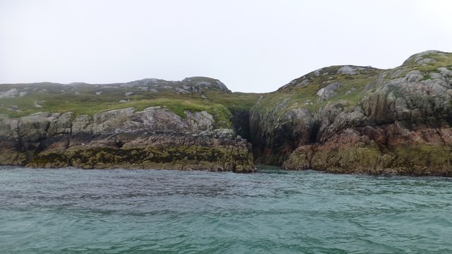
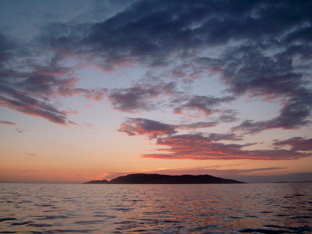
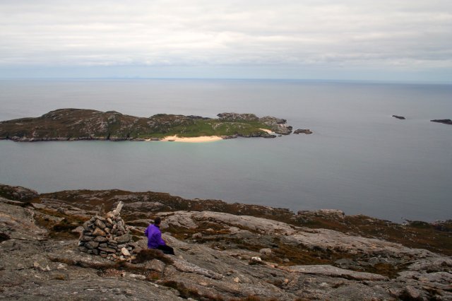
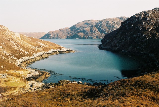
Creag Lag Stidhegeadh is a small, uninhabited island located in Ross-shire, Scotland. Situated on the northwest coast of the country, this picturesque island is part of a group of islands known as the Summer Isles. With an area of approximately 10 hectares, Creag Lag Stidhegeadh is characterized by its rugged cliffs, rocky shoreline, and stunning natural beauty.
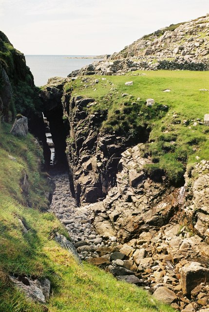
The island is predominantly composed of basalt rocks, which give it a unique geological structure. The cliffs on the western side of Creag Lag Stidhegeadh rise steeply from the sea, providing a dramatic backdrop against the turquoise waters of the surrounding ocean. The eastern side of the island features a more gentle slope, covered in lush vegetation and wildflowers during the summer months.
Despite its small size, Creag Lag Stidhegeadh boasts a rich variety of wildlife. The island is home to a diverse range of bird species, including puffins, razorbills, and guillemots, making it a popular destination for birdwatchers. Seals and otters can also be spotted in the waters surrounding the island, adding to its natural charm.
Visitors to Creag Lag Stidhegeadh can explore the island's rugged terrain and enjoy breathtaking views of the surrounding landscape. The absence of human habitation makes it a peaceful and tranquil oasis, perfect for those seeking solitude and a connection with nature. Access to the island is primarily by boat, with several local tour operators offering trips to explore this hidden gem of Ross-shire.
If you have any feedback on the listing, please let us know in the comments section below.
Creag Lag Stidhegeadh Images
Images are sourced within 2km of 58.069224/-7.0922694 or Grid Reference NA9920. Thanks to Geograph Open Source API. All images are credited.


Creag Lag Stidhegeadh is located at Grid Ref: NA9920 (Lat: 58.069224, Lng: -7.0922694)
Unitary Authority: Na h-Eileanan an Iar
Police Authority: Highlands and Islands
What 3 Words
///nurtures.usages.reputable. Near Tarbert, Na h-Eileanan Siar
Related Wikis

Eilean Mhealasta
Eilean Mhealasta (Mealista Island) is an uninhabited island off the west coast of Lewis in the Outer Hebrides of Scotland. It takes its name from Mealista...

Game pieces of the Lewis chessmen hoard
Game pieces of the Lewis chessmen hoard include the ninety-three game pieces of the Lewis chessmen hoard found on the Isle of Lewis in the Outer Hebrides...

Mealista
Mealista (Scottish Gaelic: Mealasta) was a township in the west of the Isle of Lewis. It is currently largely uninhabited due to the Highland Clearances...

Scarp, Scotland
Scarp (Scottish Gaelic: An Sgarp) is an uninhabited island in the Outer Hebrides of Scotland, west of Hushinish on Harris. Once inhabited, the island was...
Nearby Amenities
Located within 500m of 58.069224,-7.0922694Have you been to Creag Lag Stidhegeadh?
Leave your review of Creag Lag Stidhegeadh below (or comments, questions and feedback).