Eilean Chòdam

Island in Inverness-shire

Scotland

Eilean Chòdam

Dubh Sgeir This small skerry with its red-and-black striped beacon is also popular with seabirds.
Dubh Sgeir Credit: Anne Burgess

Eilean Chòdam is a small island located in the county of Inverness-shire, Scotland. It is situated in Loch Ness, one of the most famous and mysterious bodies of water in the world. The island is approximately 250 meters long and 100 meters wide, with a total land area of around 2.5 hectares.

Eilean Chòdam is known for its rich history and folklore, which is closely tied to the legends and myths surrounding Loch Ness. The island is believed to have been inhabited since ancient times, and there are remnants of old structures and burial sites on its shores. It is said to have been a sacred place for the Celts, who believed it was a gateway to the spirit world.

In the 12th century, a small chapel was built on the island, dedicated to Saint Columba. The chapel served as a place of worship and pilgrimage for many centuries, but it fell into ruins over time. Today, only a few stone walls and the remains of a graveyard can be seen on Eilean Chòdam.

The island is accessible by boat, and it attracts visitors who are interested in the mysteries of Loch Ness and its legendary monster, the Loch Ness Monster or Nessie. Many tourists come to Eilean Chòdam to explore the island, take in the stunning views of the surrounding loch and mountains, and perhaps catch a glimpse of Nessie.

Overall, Eilean Chòdam is a fascinating and historically significant island in Inverness-shire, offering visitors a chance to immerse themselves in the rich folklore and natural beauty of Loch Ness.

If you have any feedback on the listing, please let us know in the comments section below.

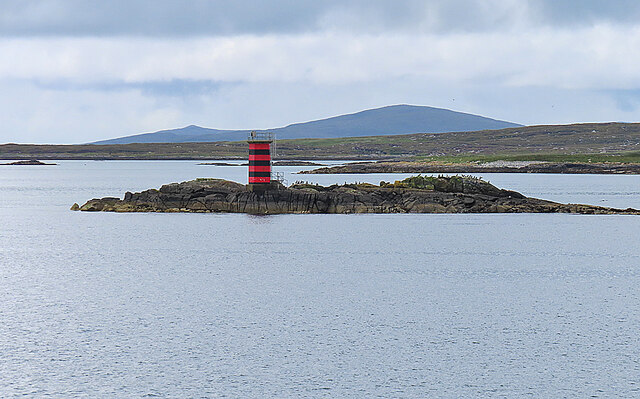
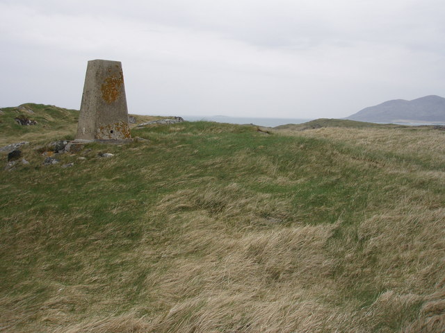
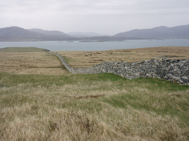
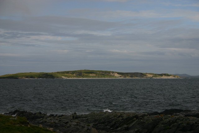
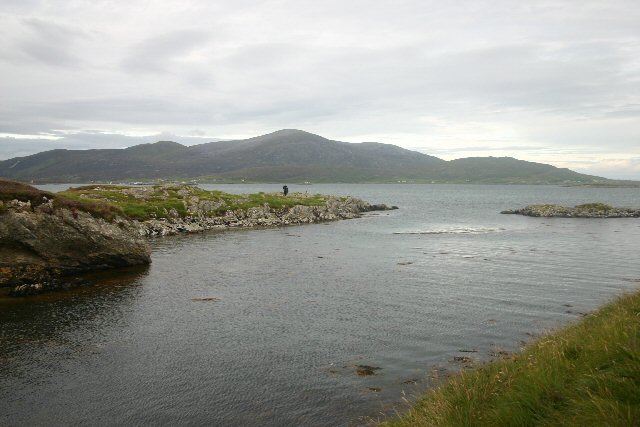
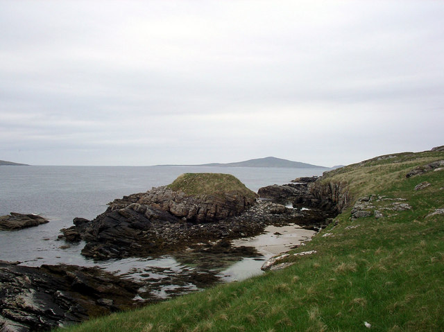
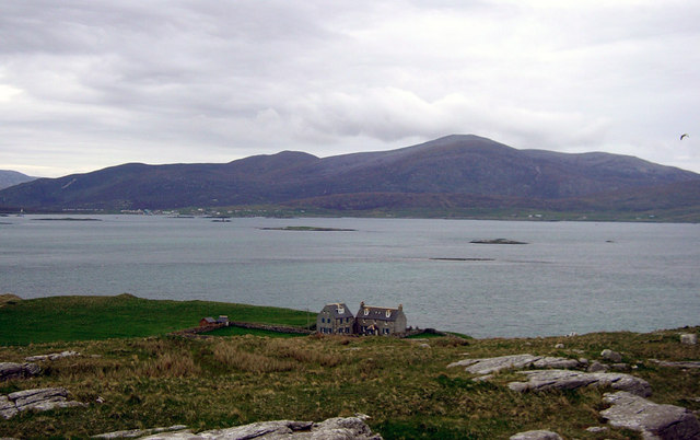
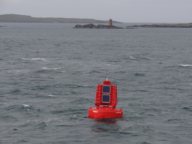
Eilean Chòdam Images

Images are sourced within 2km of 57.748238/-7.0625262 or Grid Reference NF9884. Thanks to Geograph Open Source API. All images are credited.

Dubh Sgeir This small skerry with its red-and-black striped beacon is also popular with seabirds.
Dubh Sgeir
This small skerry with its red-and-black striped beacon is also popular with seabirds.
Highest point on Ensay The trig point is at 49m. Looking towards Killegray.
Highest point on Ensay
The trig point is at 49m. Looking towards Killegray.
Wall on Ensay Well built wall, just south of Ensay House
Wall on Ensay
Well built wall, just south of Ensay House
Killegray island, from Ensay An uninhabited island, south-west of Ensay.
Killegray island, from Ensay
An uninhabited island, south-west of Ensay.
Shunndabhaig, Ensay Looking south along Ensay's west coast.
Shunndabhaig, Ensay
Looking south along Ensay's west coast.
Boundary wall, Ensay This wall extends across the width of the island.
Boundary wall, Ensay
This wall extends across the width of the island.
Summit of Ensay Looking east from the shoreline towards Ensay's highest point.
Summit of Ensay
Looking east from the shoreline towards Ensay's highest point.
Southern tip of Ensay With islands in the Sound of Harris behind.
Southern tip of Ensay
With islands in the Sound of Harris behind.
Sgairidh, Ensay The southern tip of Ensay.
Sgairidh, Ensay
The southern tip of Ensay.
Jetty in Ensay Bay At spring high tide, this stone jetty is under water, but can still be clearly seen.
Jetty in Ensay Bay
At spring high tide, this stone jetty is under water, but can still be clearly seen.
Ensay Bay A small inlet containing a stone jetty.  The hills of South Harris, behind Leverburgh, can be seen in the distance.
Ensay Bay
A small inlet containing a stone jetty. The hills of South Harris, behind Leverburgh, can be seen in the distance.
Otternish, Ensay On Ensay's east coast.
Otternish, Ensay
On Ensay's east coast.
Dunan Ruadh Dunan Ruadh on the isle of Killegray.
Dunan Ruadh
Dunan Ruadh on the isle of Killegray.
Killegray House Killegray House as seen from the summit of the island.
Killegray House
Killegray House as seen from the summit of the island.
The Chanais Peninsula: Isle of Killegray A view of the Chanais peninsula on the east side of Killegray. In the foreground is a fenced platform used for loading livestock onto boats at high tide.
The Chanais Peninsula: Isle of Killegray
A view of the Chanais peninsula on the east side of Killegray. In the foreground is a fenced platform used for loading livestock onto boats at high tide.
Easaigh and skerries Islands in the Sound of Harris. The rigs of former arable land can be seen on the island of Easaigh (Ensay). Skerries include: Dubh Sgeir (with light, left), behind is Dubh-sgeir Ensay and the right central island is Suam.
Easaigh and skerries
Islands in the Sound of Harris. The rigs of former arable land can be seen on the island of Easaigh (Ensay). Skerries include: Dubh Sgeir (with light, left), behind is Dubh-sgeir Ensay and the right central island is Suam.
Stumbles Port Lateral Buoy This red buoy emits two red flashes every ten seconds at night.  This buoy also doubles up as an Automatic Identification System (AIS) transmitter <span class="nowrap"><a title="https://en.wikipedia.org/wiki/Automatic_Identification_System" rel="nofollow ugc noopener" href="https://en.wikipedia.org/wiki/Automatic_Identification_System">Link</a><img style="margin-left:2px;" alt="External link" title="External link - shift click to open in new window" src="https://s1.geograph.org.uk/img/external.png" width="10" height="10"/></span>.
Stumbles Port Lateral Buoy
This red buoy emits two red flashes every ten seconds at night. This buoy also doubles up as an Automatic Identification System (AIS) transmitter LinkExternal link.
Dubh Sgeir Red and black navigation pillar which emits two quick flashes every five seconds at night.
Dubh Sgeir
Red and black navigation pillar which emits two quick flashes every five seconds at night.
Show me another place!

Eilean Chòdam is located at Grid Ref: NF9884 (Lat: 57.748238, Lng: -7.0625262)

Unitary Authority: Na h-Eileanan an Iar

Police Authority: Highlands and Islands

What 3 Words

///massing.bluffing.perkily. Near Leverburgh, Na h-Eileanan Siar

Nearby Locations

Eilean Chòdam

Related Wikis

Killegray

Killegray is an island in the Sound of Harris in the Outer Hebrides of Scotland. == Geography == Situated in the Sound of Harris, a channel of water between...

Ensay (Outer Hebrides)

Ensay (Gaelic Easaigh) is a currently unpopulated and privately owned island in the Outer Hebrides of Scotland. The island lies in the Sound of Harris...

Outer Hebrides

The Outer Hebrides ( HEB-rid-eez) or Western Isles (Scottish Gaelic: na h-Eileanan Siar [nə ˈhelanən ˈʃiəɾ] , na h-Eileanan an Iar [nə ˈhelanən əɲ ˈiəɾ...

Leverburgh

Leverburgh (Scottish Gaelic: An t-Òb [ən̪ˠ ˈt̪ɔːp]) is the second largest village, after Tarbert, in Harris in the Outer Hebrides of Scotland. Leverburgh...

Have you been to Eilean Chòdam?

Leave your review of Eilean Chòdam below (or comments, questions and feedback).