Sgeir Ghlas

Island in Inverness-shire

Scotland

Sgeir Ghlas
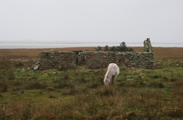
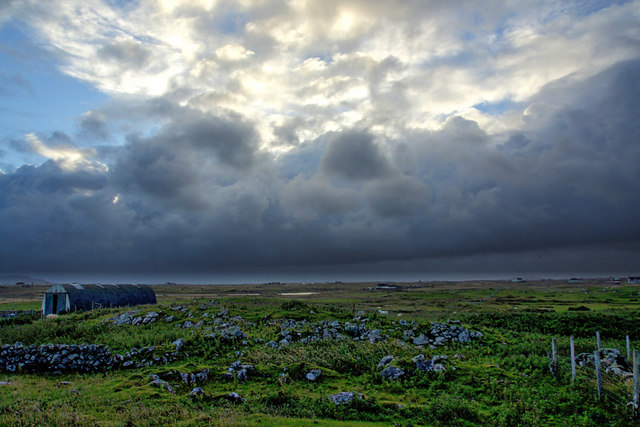
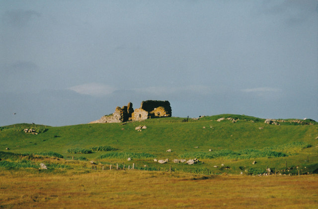
Pony and ruin, Carinish
Pony and ruin, Carinish Credit: Hugh Venables

Sgeir Ghlas is a small uninhabited island located off the coast of Inverness-shire, Scotland. Also known as Green Skerry, it is situated in the Inner Moray Firth, about 10 kilometers northeast of Inverness. The island is part of the Scottish Highlands and is accessible only by boat.

With an area of approximately 0.5 hectares, Sgeir Ghlas is a rocky outcrop surrounded by the waters of the North Sea. It is characterized by its rugged and wild landscape, consisting of low-lying vegetation and rocky cliffs. The island is home to a variety of seabirds, including gulls, fulmars, and cormorants, which use the island for nesting and foraging purposes.

While Sgeir Ghlas lacks permanent human residents, it has historical significance. The island is believed to have served as a navigational marker for ships traveling in the Moray Firth for centuries. In addition, it has been marked on nautical charts since the 18th century.

Today, Sgeir Ghlas attracts occasional visitors who are interested in exploring its unique natural beauty. However, due to its remote location and lack of facilities, it is not a popular tourist destination. Nevertheless, its isolation and untouched scenery make it a haven for nature enthusiasts and birdwatchers.

In summary, Sgeir Ghlas is a small, uninhabited island off the coast of Inverness-shire, Scotland. Known for its rugged landscape and abundant seabirds, the island offers a glimpse into the wild beauty of the Scottish Highlands.

If you have any feedback on the listing, please let us know in the comments section below.

Sgeir Ghlas Images

Images are sourced within 2km of 57.508987/-7.2950517 or Grid Reference NF8358. Thanks to Geograph Open Source API. All images are credited.
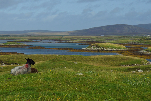
Pony and ruin, Carinish
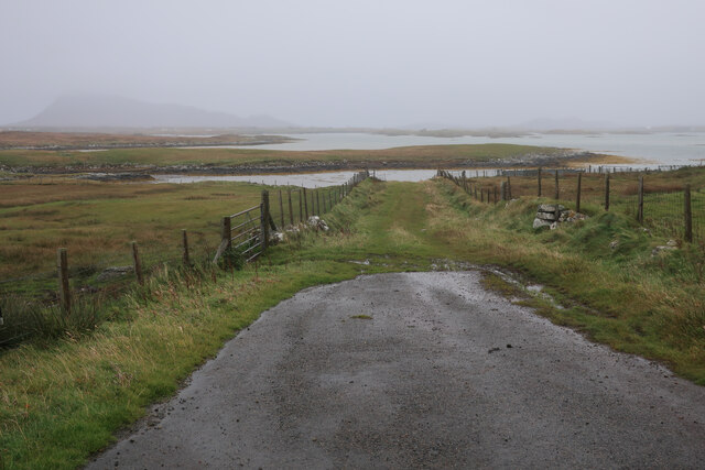
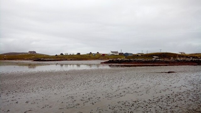
End of the road at Àird Mhòr
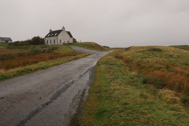
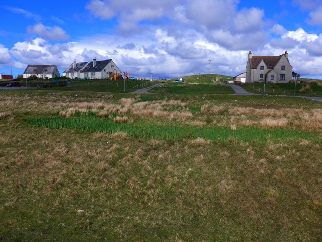
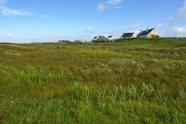
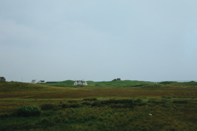
House at Carinish
House at Carinish
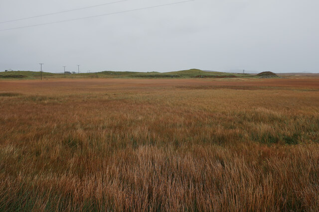
Marshy area at Carinish Seemingly a naturally infilled loch.
Marshy area at Carinish
Seemingly a naturally infilled loch.
Blar Chairinis Site of battle in 1601.
Blar Chairinis
Site of battle in 1601.
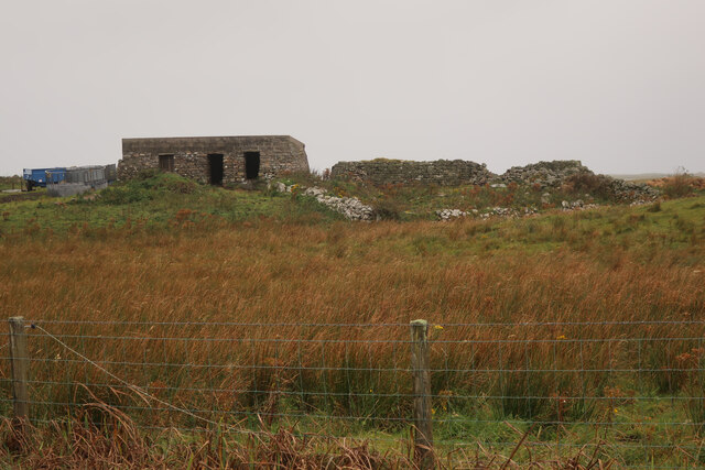
Stone barn at Carinish
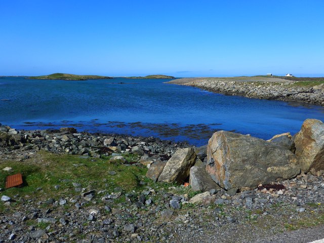
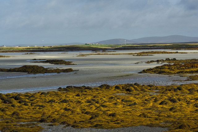
Ocean on the west side of the causeway to North Uist
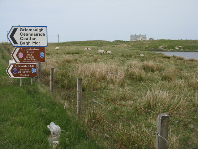
Signpost on Grimsay The house beyond the end of Loch an Fhaing is marked as a Post Office on the map, but the may not be up to date information.
Signpost on Grimsay
The house beyond the end of Loch an Fhaing is marked as a Post Office on the map, but the may not be up to date information.
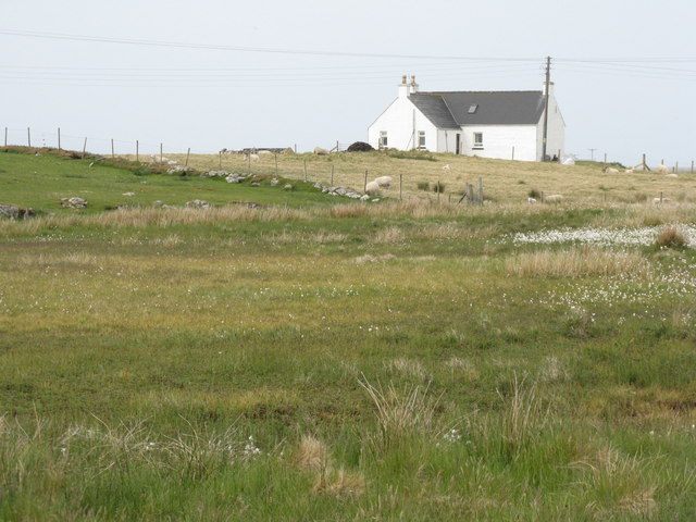
House on Grimsay Looking across Bog Cotton from the A865.
House on Grimsay
Looking across Bog Cotton from the A865.
Gairbh-eilean
Gairbh-eilean
Oitir Mhòr
Oitir Mhòr
Moorcroft Campsite at low tide
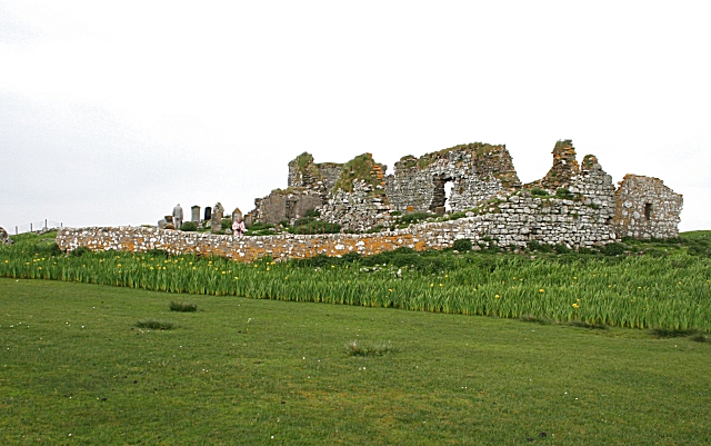
The ruins of Trinity Temple (Teampull na Trianaid) According to the plaque "Medieval monastery and college of European significance, founded by Beathag, daughter of Somhairle (Somerled).  Enlarged about 1350 to 1390 by Amie Mic Ruarie, first wife of John, Lord of the Isles.  Reconstructed in the 16th century.  Destroyed after the reformation.  Later restored in the 19th century by Dotair Ban."
The ruins of Trinity Temple (Teampull na Trianaid)
According to the plaque "Medieval monastery and college of European significance, founded by Beathag, daughter of Somhairle (Somerled). Enlarged about 1350 to 1390 by Amie Mic Ruarie, first wife of John, Lord of the Isles. Reconstructed in the 16th century. Destroyed after the reformation. Later restored in the 19th century by Dotair Ban."
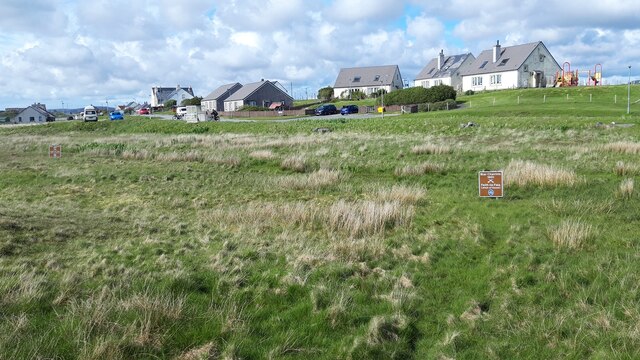
Field and houses at Carinish And also the site of Feith na Fala (The ditch of blood) - a battle waged in 1601 between the MacLeods and the MacDonalds.
Field and houses at Carinish
And also the site of Feith na Fala (The ditch of blood) - a battle waged in 1601 between the MacLeods and the MacDonalds.
Bagh a’ Ghriasaiche
Bagh a’ Ghriasaiche
Fèithe na Fala - The ditch of blood
View from Temple View Hotel Teampull na Trionaid is a ruined 13th-century church and seminary at Carinish, North Uist, Scotland. Amie mac Ruari is said to have rebuilt the church in the 14th century after her divorce from John of Islay, Lord of the Isles. The ruins are protected as a scheduled monument.
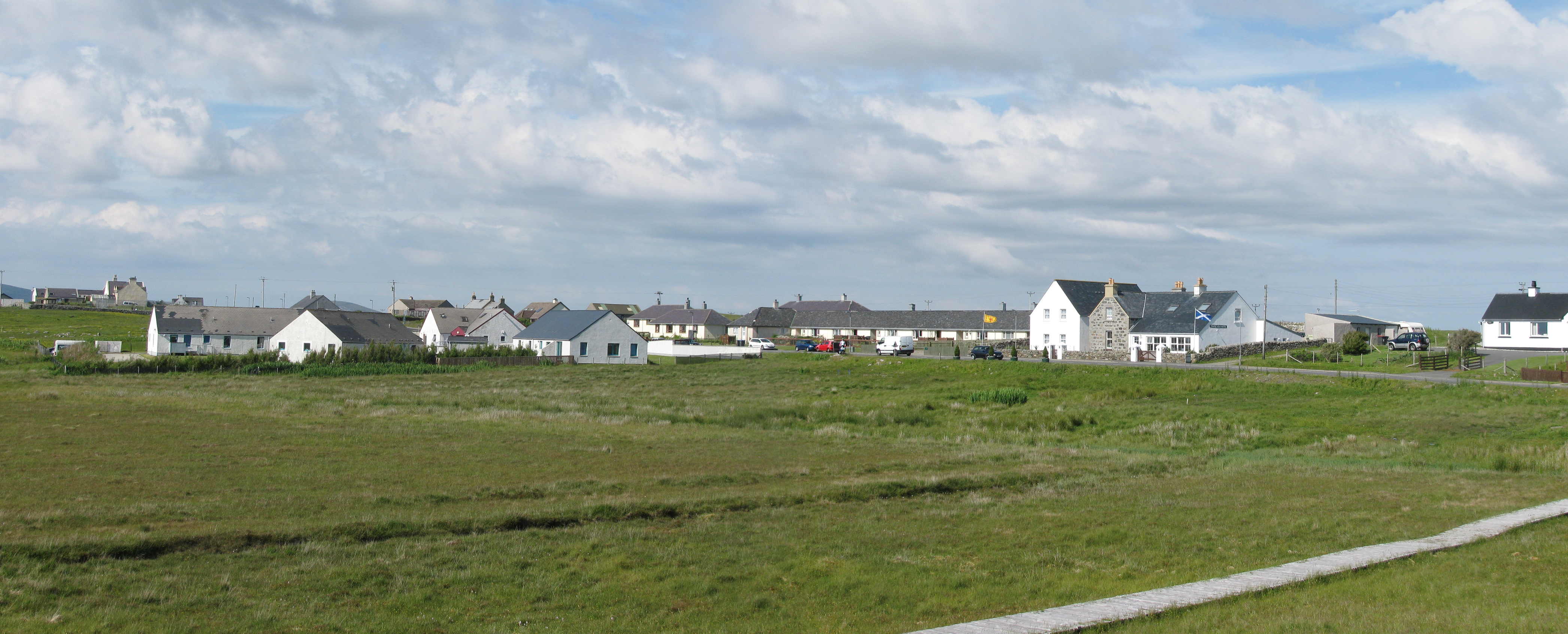
View from Temple View Hotel
Teampull na Trionaid is a ruined 13th-century church and seminary at Carinish, North Uist, Scotland. Amie mac Ruari is said to have rebuilt the church in the 14th century after her divorce from John of Islay, Lord of the Isles. The ruins are protected as a scheduled monument.
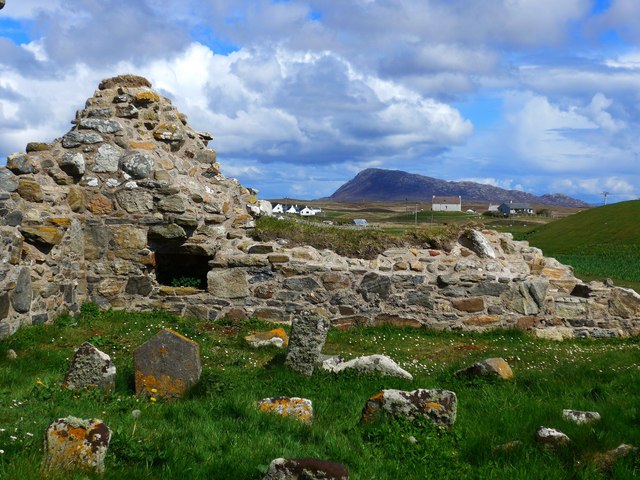
Closer to the temple The ruins of Trinity Temple (Teampull na Trianaid)
Closer to the temple
The ruins of Trinity Temple (Teampull na Trianaid)
Show me another place!

Sgeir Ghlas is located at Grid Ref: NF8358 (Lat: 57.508987, Lng: -7.2950517)

Unitary Authority: Na h-Eileanan an Iar

Police Authority: Highlands and Islands

What 3 Words

///duck.screaming.excusing. Near Balivanich, Na h-Eileanan Siar

Related Wikis

Bail' Iochdrach

Bail' Iochdrach or Baliochrach (Scottish Gaelic: Am Baile Ìochdrach) is a village on Benbecula in the Outer Hebrides, Scotland. Baliochrach is within the...

Carinish

Carinish (Scottish Gaelic: Càirinis), is a hamlet on North Uist, in the Outer Hebrides, Scotland. It is in the south of the island, about two miles (three...

Battle of Carinish

The Battle of Carinish was a Scottish clan battle fought in North Uist in 1601. It was part of a year of feuding between Clan MacLeod of Dunvegan and the...

Teampull na Trionaid

Teampull na Trionaid ("trinity church") is a ruined 13th-century Augustinian nunnery at Carinish, on North Uist, in the Outer Hebrides of Scotland. �...

Have you been to Sgeir Ghlas?

Leave your review of Sgeir Ghlas below (or comments, questions and feedback).