Na Dubh-sgeirean

Island in Inverness-shire

Scotland

Na Dubh-sgeirean
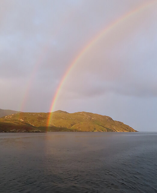
Evening Rainbow A double rainbow making landfall on the north side of Loch Aineort.
Evening Rainbow Credit: Anne Burgess

The requested URL returned error: 429 Too Many Requests

If you have any feedback on the listing, please let us know in the comments section below.

Na Dubh-sgeirean Images

Images are sourced within 2km of 57.214248/-7.2630358 or Grid Reference NF8226. Thanks to Geograph Open Source API. All images are credited.
Evening Rainbow A double rainbow making landfall on the north side of Loch Aineort.
Evening Rainbow
A double rainbow making landfall on the north side of Loch Aineort.
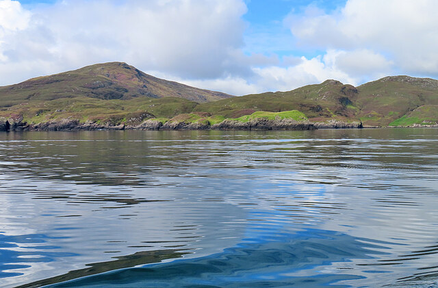
Cleit a' Ghlinn Mhòir Cleit a' Ghlinn Mhòir is the rocky peninsula with the bright green vegetation on it. The name means 'rock of the big glen'.
Cleit a' Ghlinn Mhòir
Cleit a' Ghlinn Mhòir is the rocky peninsula with the bright green vegetation on it. The name means 'rock of the big glen'.
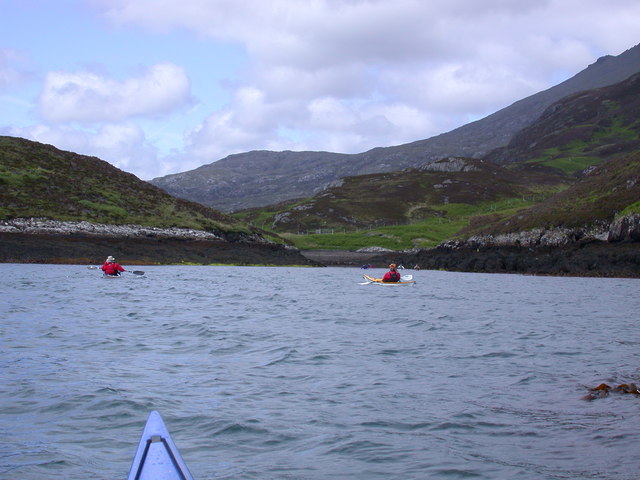
Sloc Dubh na Thabhann, Loch Eynort South Uist Entering Sloc Dubh na Thabhann, from Loch Eynort South Uist
Sloc Dubh na Thabhann, Loch Eynort South Uist
Entering Sloc Dubh na Thabhann, from Loch Eynort South Uist
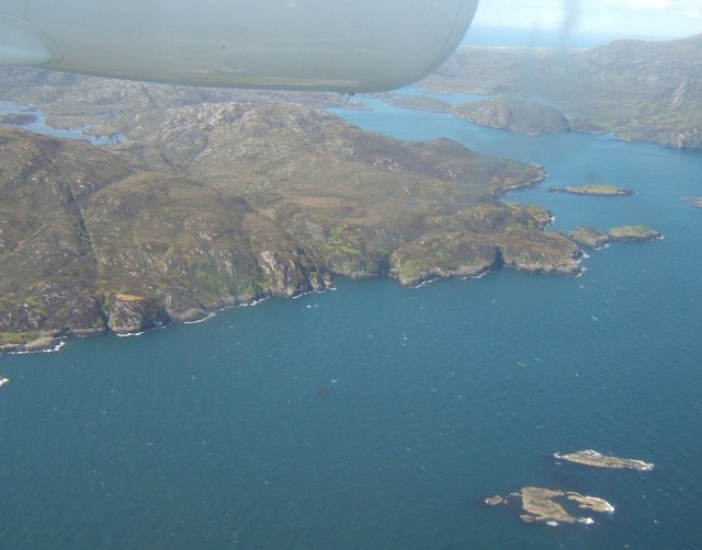
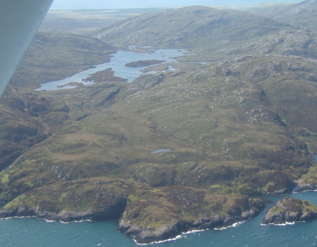
Bun an Amair The skerries in the foreground are those to the north of Stulaig. On the right is the mouth of Loch Aineort; on the left, beyond the lower slopes of Stulabhal, is Loch Snigiscleit.
Bun an Amair
The skerries in the foreground are those to the north of Stulaig. On the right is the mouth of Loch Aineort; on the left, beyond the lower slopes of Stulabhal, is Loch Snigiscleit.
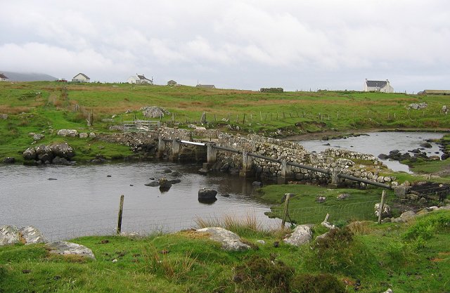
Rubha na Gibhte Looking west over Loch Snigiscleit towards Airnebhal <a href="https://www.geograph.org.uk/photo/15970">NF7825 : On Airneabhal</a>.
Rubha na Gibhte
Looking west over Loch Snigiscleit towards Airnebhal NF7825 : On Airneabhal.
Show me another place!

Na Dubh-sgeirean is located at Grid Ref: NF8226 (Lat: 57.214248, Lng: -7.2630358)

Unitary Authority: Na h-Eileanan an Iar

Police Authority: Highlands and Islands

What 3 Words

///tumble.absent.nightcap. Near Lochboisdale, Na h-Eileanan Siar

Nearby Locations

Na Dubh-sgeirean

Related Wikis

Stuley

Stuley is an island lying to the east of South Uist in the Outer Hebrides, Scotland. It lies off the section of coastline between Loch Eynort and Loch...

Beinn Mhòr (South Uist)

Beinn Mhòr is a mountain on the island of South Uist in the Outer Hebrides of Scotland. With a height of 620 metres (2,034 ft), it is the highest point...

Auratote

Auratote (Scottish Gaelic: Oratobht) is a location on South Uist in the Outer Hebrides, Scotland. Auratote is within the parish of South Uist. == References... ==

Beinn Ruigh Choinnich

Beinn Ruigh Choinnich is a hill which overlooks the port of Lochboisdale on the east coast of the island of South Uist in the Outer Hebrides Scotland....

Have you been to Na Dubh-sgeirean?

Leave your review of Na Dubh-sgeirean below (or comments, questions and feedback).