An Laogh
Island in Inverness-shire
Scotland
An Laogh
![Some of the southern Outer Hebrides From Sandray [lower left] through Vatersay, Barra and Fuday to South Uist [upper right]](https://s2.geograph.org.uk/geophotos/05/37/64/5376446_1f6063ba.jpg)
An Laogh is a small island located in Loch Eil, in the county of Inverness-shire, Scotland. The island is approximately 1.5 miles long and 0.5 miles wide, with a total area of around 200 acres.
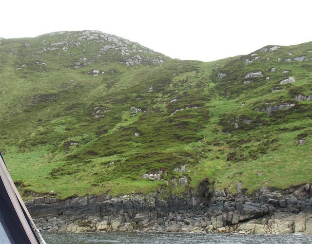
An Laogh is known for its rugged and rocky terrain, with steep cliffs and rocky beaches surrounding the island. The island is largely uninhabited, with only a few scattered cottages and farm buildings present.
Despite its remote location, An Laogh is a popular destination for tourists and outdoor enthusiasts looking to explore the natural beauty of the Scottish Highlands. The island offers stunning views of the surrounding mountains and lochs, making it a picturesque spot for hiking, birdwatching, and wildlife spotting.
Access to An Laogh is limited, with boat or kayak being the primary means of reaching the island. Visitors can also take a ferry from nearby towns such as Fort William or Oban to reach the island.
Overall, An Laogh is a peaceful and secluded destination for those looking to escape the hustle and bustle of everyday life and immerse themselves in the stunning natural beauty of the Scottish Highlands.
If you have any feedback on the listing, please let us know in the comments section below.
An Laogh Images
Images are sourced within 2km of 56.922542/-7.4394536 or Grid Reference NL6994. Thanks to Geograph Open Source API. All images are credited.


![Maol Dòmhnaich Fifth new island Marilyn of a calm damp day on the Boy James boat.
Name: Maol Dòmhnaich [Muldoanich]
Hill number: 1635
Height: 154m / 505ft
Area: 24D: Barra to Barra Head
Class: Ma,1
Grid ref: NL 68901 94007
Summit feature: rock 1m S of trig point
Drop: 154m
Col: Sea](https://s0.geograph.org.uk/geophotos/03/98/01/3980172_90ca2882.jpg)

An Laogh is located at Grid Ref: NL6994 (Lat: 56.922542, Lng: -7.4394536)
Unitary Authority: Na h-Eileanan an Iar
Police Authority: Highlands and Islands
What 3 Words
///picked.shorter.multiples. Near CastleBay, Na h-Eileanan Siar
Nearby Locations
Related Wikis
Muldoanich
Muldoanich is an uninhabited island in the Barra Isles archipelago at the southern extremity of the larger island chain of the Outer Hebrides in Scotland...

Kisimul Castle
Kisimul Castle (Scottish Gaelic: Caisteal Chiosmuil) and also known as Kiessimul Castle, is a medieval castle located on a small island off Castlebay,...

Brevig, Barra
Brevig (Scottish Gaelic: Brèibhig) is a village on the island of Barra, in the Outer Hebrides, Scotland. The settlement is situated on the A888, which...
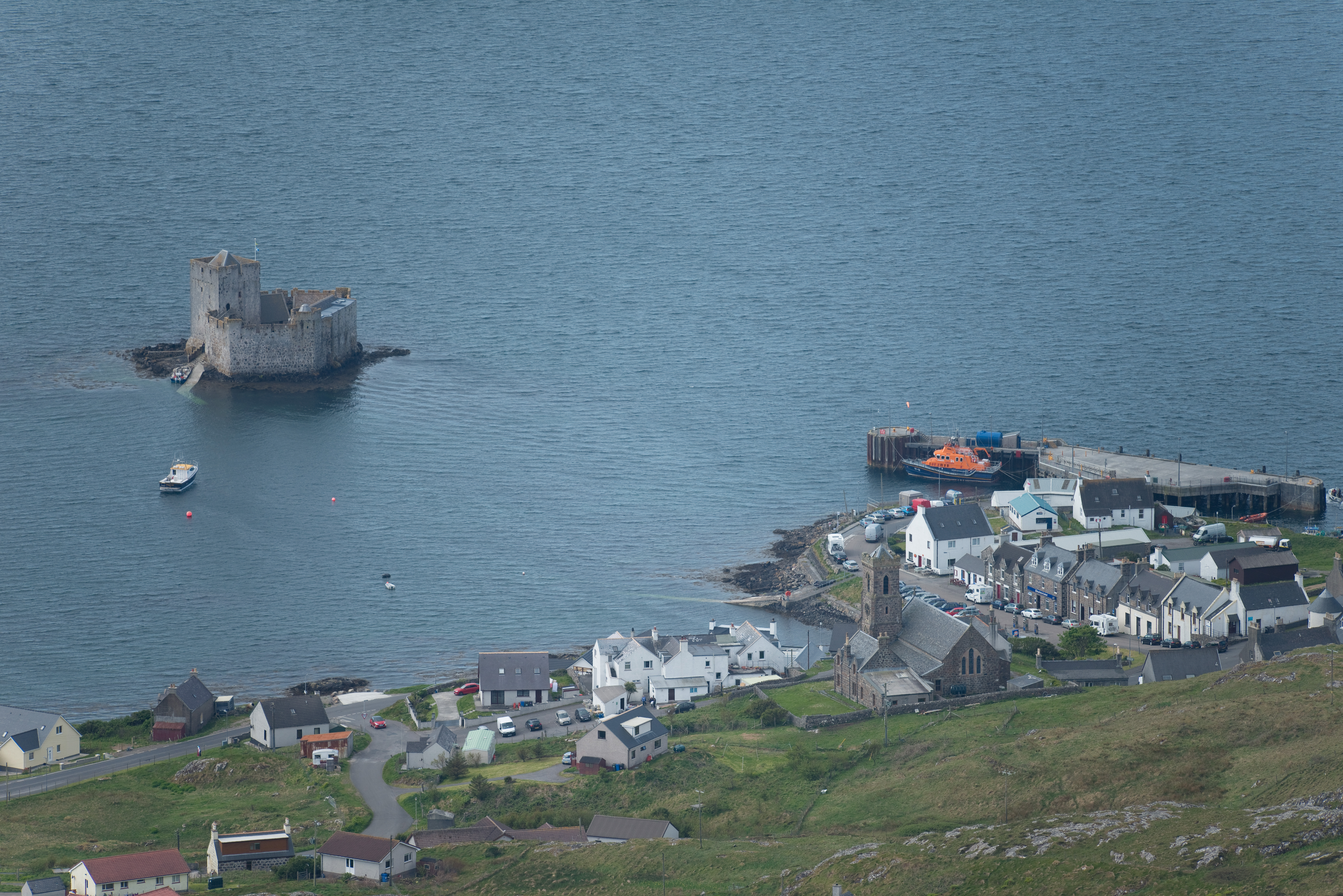
Castlebay
Castlebay (Scottish Gaelic: Bàgh a' Chaisteil [baːɣ ə ˈxaʃtʲɪl]) is the main village and a community council area on the island of Barra in the Outer Hebrides...
Have you been to An Laogh?
Leave your review of An Laogh below (or comments, questions and feedback).