Cae Pant
Corrie (Glacial Valley) in Monmouthshire
Wales
Cae Pant

Cae Pant is a stunning glacial valley located in Monmouthshire, Wales. Also known as Corrie, it is a prime example of the geological features left behind by the retreat of glaciers during the last Ice Age. The valley is situated within the Brecon Beacons National Park, offering visitors breathtaking views of the surrounding landscape.
The main feature of Cae Pant is its U-shaped valley, which was carved out by the movement of glaciers thousands of years ago. The valley is characterized by steep, rocky sides and a flat bottom, created by the erosive power of the ice. This unique shape is a testament to the immense power and force of the glacial movement.
The valley is now home to a diverse range of flora and fauna, making it a popular destination for nature enthusiasts. Visitors can expect to see a variety of plant species, including heather, gorse, and bracken, as well as a range of birdlife and small mammals.
Cae Pant offers numerous opportunities for outdoor activities, such as hiking, birdwatching, and photography. The trails within the valley provide stunning views of the surrounding mountains and valleys, making it a hiker's paradise. Additionally, the peaceful and serene atmosphere of the area makes it an ideal location for relaxation and nature appreciation.
Overall, Cae Pant is a magnificent glacial valley in Monmouthshire, offering visitors a glimpse into the powerful forces of nature that shaped the landscape thousands of years ago. Its natural beauty and diverse ecosystem make it a must-visit destination for nature lovers and outdoor enthusiasts alike.
If you have any feedback on the listing, please let us know in the comments section below.
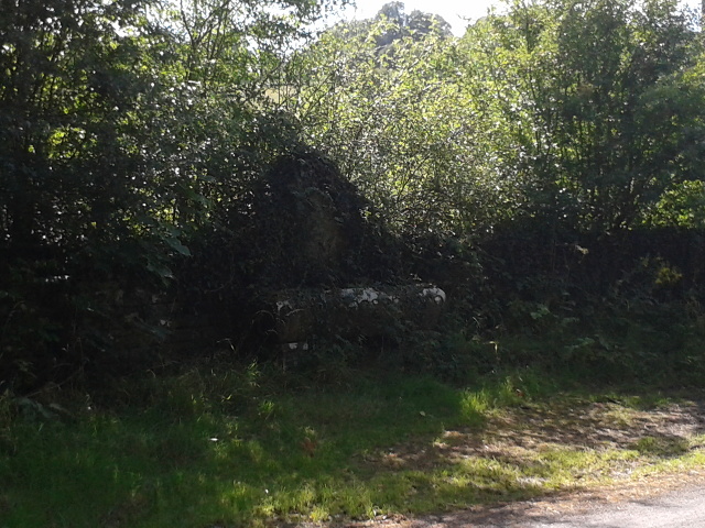
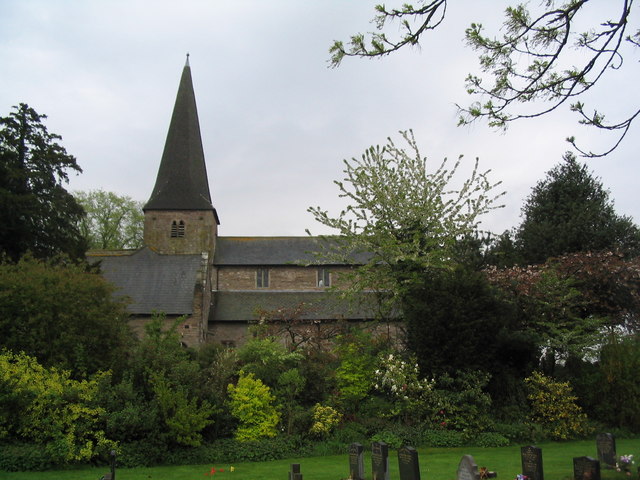
Cae Pant Images
Images are sourced within 2km of 51.840859/-2.8463842 or Grid Reference SO4116. Thanks to Geograph Open Source API. All images are credited.


Cae Pant is located at Grid Ref: SO4116 (Lat: 51.840859, Lng: -2.8463842)
Unitary Authority: Monmouthshire
Police Authority: Gwent
What 3 Words
///nobody.scariest.discount. Near Llanrothal, Herefordshire
Nearby Locations
Related Wikis

Tal-y-coed Court
Tal-y-coed Court,, Llanvihangel-Ystern-Llewern, Monmouthshire, Wales, is a Victorian country house. Constructed in 1881–1883, it was built for the Monmouthshire...

Maerdy Farmhouse, Llanvihangel-Ystern-Llewern
Maerdy Farmhouse (The Maerdy), Llanvihangel-Ystern-Llewern, Monmouthshire is a farmhouse dating from about 1700. Extended later in the 18th century, it...

The Pant, Llanvihangel-Ystern-Llewern
The Pant, Llanvihangel-Ystern-Llewern, Monmouthshire is a hall-house dating from the 16th century with an attached 17th century Quaker meeting house. It...
St Teilo's Church, Llantilio Crossenny
The Church of St Teilo is the parish church of Llantilio Crossenny, Monmouthshire, Wales. "An unusually grand cruciform church", with an Early English...
Have you been to Cae Pant?
Leave your review of Cae Pant below (or comments, questions and feedback).