Corrie Finnie
Corrie (Glacial Valley) in Angus
Scotland
Corrie Finnie
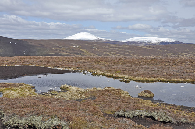
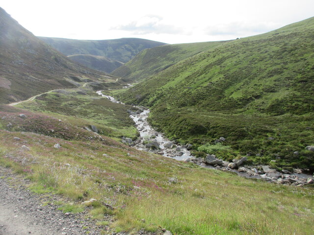
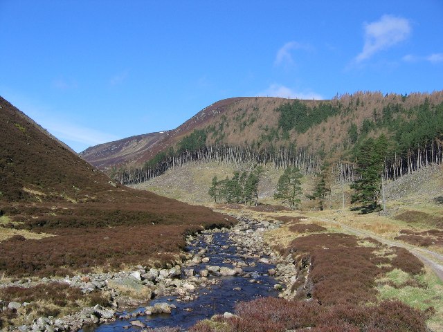
Corrie Finnie, also known as Angus or Corrie (Glacial Valley), is a geographic feature located in the Scottish Highlands. A corrie, sometimes referred to as a cirque or a cwm, is a concave-shaped hollow found on mountainsides, usually formed by glacial erosion. Corrie Finnie is one such corrie, situated in the picturesque Glacial Valley.
This stunning corrie is characterized by its steep, almost vertical, walls that encircle a bowl-shaped depression. It is nestled amidst the rugged beauty of the Scottish landscape, surrounded by towering peaks and lush greenery. The corrie is often described as being of considerable size, with the walls reaching impressive heights.
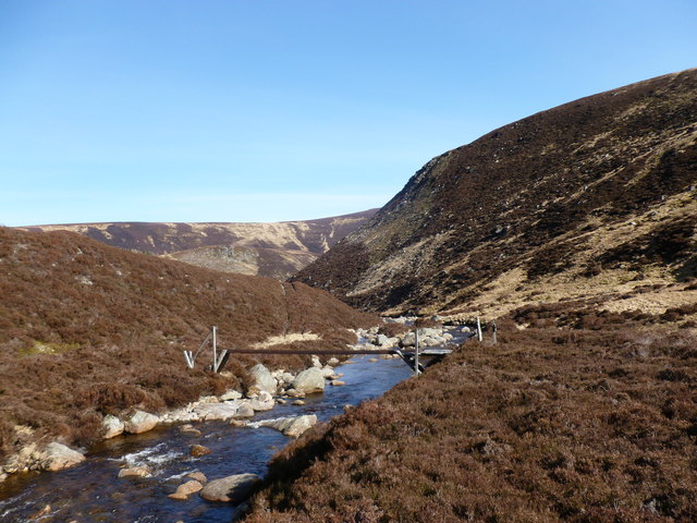
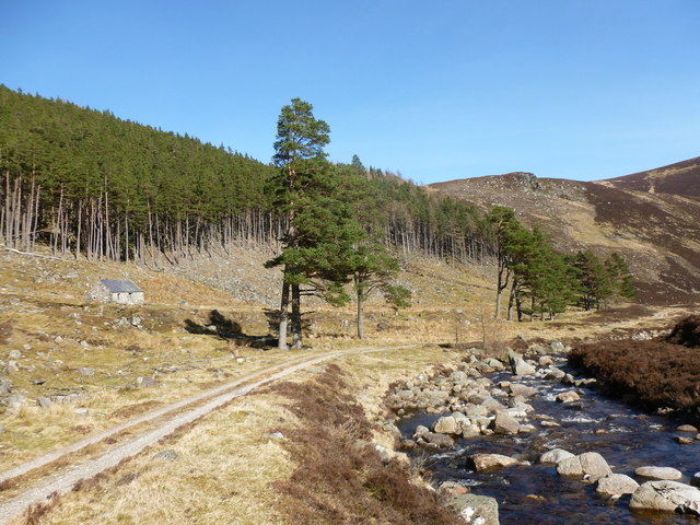
Corrie Finnie is a popular destination for hikers and mountaineers due to its scenic allure and challenging terrain. Its unique shape and breathtaking views make it an ideal spot for nature lovers and photographers as well. The corrie offers a sense of tranquility and isolation, allowing visitors to immerse themselves in the raw beauty of the natural surroundings.
As a result of its glacial origins, Corrie Finnie is often home to small lakes or tarns, which add to its overall charm. These bodies of water, nestled within the corrie, are often surrounded by vibrant vegetation and provide a haven for various flora and fauna.
In conclusion, Corrie Finnie, Angus (Corrie (Glacial Valley)) is a captivating geographical feature located in the Scottish Highlands. Its awe-inspiring walls, picturesque setting, and serene atmosphere make it a must-visit destination for outdoor enthusiasts and nature lovers.
If you have any feedback on the listing, please let us know in the comments section below.
Corrie Finnie Images
Images are sourced within 2km of 56.935669/-3.0092465 or Grid Reference NO3883. Thanks to Geograph Open Source API. All images are credited.


Corrie Finnie is located at Grid Ref: NO3883 (Lat: 56.935669, Lng: -3.0092465)
Unitary Authority: Angus
Police Authority: Tayside
What 3 Words
///imply.claw.extremes. Near Ballater, Aberdeenshire
Nearby Locations
Related Wikis

Falls of Unich
Falls of Unich is a waterfall of Scotland. == See also == Waterfalls of Scotland == References == Media related to Falls of Unich at Wikimedia Commons

Glen Mark
Glen Mark is a glen in northern Angus, eastern Scotland, through which the Water of Mark flows. Near the mouth of the glen, at Auchronie, the Water of...

Falls of Damff
Falls of Damff is a waterfall in Cairngorms National Park in Scotland. == See also == Waterfalls of Scotland == References ==

Mount Keen
Mount Keen (Scottish Gaelic: Monadh Caoin) is a 939-metre-high (3,081 ft) mountain in Scotland and the most easterly Munro. It can be accessed from several...

Loch Lee
National grid reference NO431800 Loch Lee is a loch in Angus, Scotland south of the Grampian Mountains that is fed by the Water of Lee and the Water of...

Invermark Lodge
Invermark Lodge is a hunting lodge which was built near Invermark Castle in 1852 for John Ramsay, 13th Earl of Dalhousie. It is now a listed building...

Invermark Castle
Invermark Castle is an oblong tower house dating from the 16th century, at the east of Loch Lee, Angus, Scotland. It is near the head of Glen Esk. ��2...
Linn of Muick
Linn of Muick is a waterfall on the river Muick, Aberdeenshire, Scotland. == See also == Waterfalls of Scotland Media related to Linn of Muick at Wikimedia...
Have you been to Corrie Finnie?
Leave your review of Corrie Finnie below (or comments, questions and feedback).