Corrie of Clova
Corrie (Glacial Valley) in Angus
Scotland
Corrie of Clova

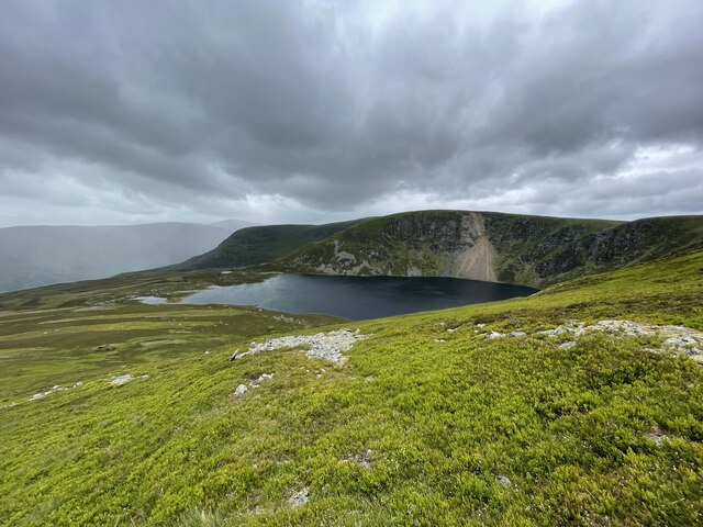
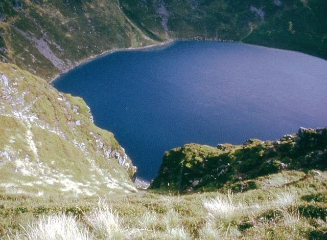
Corrie of Clova, located in Angus, Scotland, is a glacial valley or corrie formed by the retreat of glaciers during the last ice age. It is a popular destination for nature enthusiasts, hikers, and climbers due to its stunning beauty and diverse wildlife.
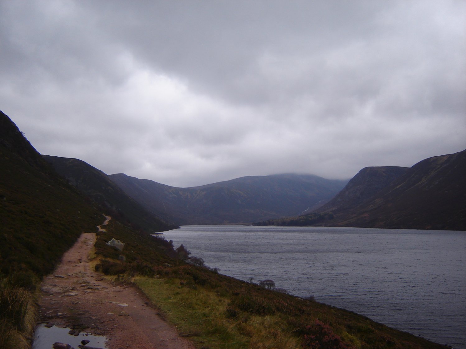
The corrie is nestled within the Cairngorms National Park, one of the largest and most spectacular protected areas in the United Kingdom. It is surrounded by towering mountains, including the prominent Lochnagar and Mount Keen, which provide a breathtaking backdrop to the valley. The landscape is characterized by steep cliffs, rugged terrain, and a U-shaped valley floor formed by glacial erosion.
The corrie boasts a unique ecosystem that supports a variety of plant and animal species. Visitors may encounter red deer, mountain hares, and golden eagles, among other wildlife. The area is also home to several rare and protected plant species, including the alpine saxifrage and mountain avens.
Hiking and mountaineering are popular activities in Corrie of Clova, with numerous trails and routes catering to all levels of experience. The Corrie Fee Nature Reserve, managed by Scottish Natural Heritage, offers well-maintained paths that lead visitors through the corrie and its surroundings, providing opportunities for stunning views and encounters with nature.
Overall, Corrie of Clova is a remarkable glacial valley that offers visitors a chance to immerse themselves in the beauty of the Scottish Highlands, explore its unique geological features, and appreciate its rich biodiversity.
If you have any feedback on the listing, please let us know in the comments section below.
Corrie of Clova Images
Images are sourced within 2km of 56.864767/-3.1057845 or Grid Reference NO3275. Thanks to Geograph Open Source API. All images are credited.


Corrie of Clova is located at Grid Ref: NO3275 (Lat: 56.864767, Lng: -3.1057845)
Unitary Authority: Angus
Police Authority: Tayside
What 3 Words
///grow.potions.gilding. Near Ballater, Aberdeenshire
Nearby Locations
Related Wikis

Clova, Angus
Clova is a village in Glen Clova, Angus, Scotland. It lies on the River South Esk, some 12 miles (19 km) north of Kirriemuir. During the 1745 Jacobite...

Ben Tirran
Ben Tirran (896 m) is a mountain in the Grampian Mountains of Scotland. It lies in the vast Mounth area of the eastern Highlands in Angus, on the northern...

Driesh
Driesh (Gaelic: Dris) is a mountain located in the Grampians of Scotland. Apart from Mount Keen (939 m/3,080 ft), it is the most easterly of the Munro...

Glen Doll
Glen Doll, also sometimes spelt Glendoll, lies within the Cairngorms National Park, Scotland, at the top of Glen Clova, in an area of steep hills, corries...

Falls of Damff
Falls of Damff is a waterfall in Cairngorms National Park in Scotland. == See also == Waterfalls of Scotland == References ==

Corrie Fee
Corrie Fee is a glacier-carved corrie situated at the head of Glen Clova in the Angus Glens of Scotland. It forms part of Corrie Fee National Nature Reserve...

Falls of Unich
Falls of Unich is a waterfall of Scotland. == See also == Waterfalls of Scotland == References == Media related to Falls of Unich at Wikimedia Commons
Loch Muick
Loch Muick (; Gaelic: Uisge Muice (pronounced [ɯʃkʲəˈmɯçkʲə])) is an upland, freshwater loch lying approximately 5 mi (8.0 km) south of Braemar, Scotland...
Nearby Amenities
Located within 500m of 56.864767,-3.1057845Have you been to Corrie of Clova?
Leave your review of Corrie of Clova below (or comments, questions and feedback).