Coire Breac
Corrie (Glacial Valley) in Banffshire
Scotland
Coire Breac

Coire Breac, located in Banffshire, Scotland, is a captivating glacial valley known for its breathtaking natural beauty. Nestled amidst the majestic Cairngorms National Park, this corrie offers visitors a unique and immersive experience of Scotland's rugged landscapes.
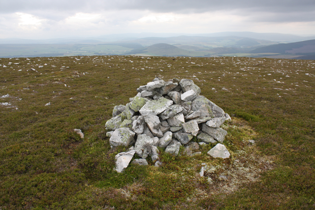
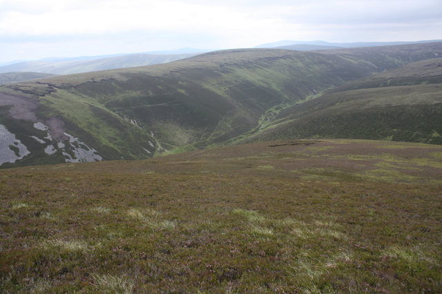
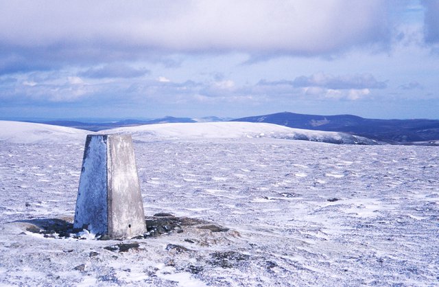
Coire Breac is situated at an elevation of around 850 meters above sea level, making it an ideal destination for adventure enthusiasts and nature lovers alike. The valley is surrounded by towering mountain peaks, with Ben Macdui, the second-highest summit in the UK, dominating the skyline. The corrie itself is characterized by steep and rocky slopes, carved out by glacial action over thousands of years.
The valley is a haven for wildlife, with a diverse range of flora and fauna flourishing in its picturesque surroundings. Visitors may encounter red deer, mountain hares, and golden eagles as they explore the area. The corrie is also home to several small lochs, adding to its charm and tranquility.
Hiking and mountaineering are popular activities in Coire Breac, with numerous trails catering to all levels of experience. The ascent to the corrie offers stunning panoramic views of the surrounding landscape, rewarding hikers with a sense of accomplishment and serenity.
Coire Breac is easily accessible from nearby towns such as Braemar and Aviemore, and there are ample parking facilities available for visitors. However, it is essential to come prepared with appropriate clothing, as the weather in the area can be unpredictable, with rapid changes in temperature and frequent rainfall.
In summary, Coire Breac is a captivating glacial valley in Banffshire, Scotland, offering visitors an unforgettable experience of Scotland's natural beauty. With its stunning landscapes, diverse wildlife, and ample outdoor activities, this corrie is a must-visit destination for nature enthusiasts and adventurers.
If you have any feedback on the listing, please let us know in the comments section below.
Coire Breac Images
Images are sourced within 2km of 57.277366/-3.1960989 or Grid Reference NJ2721. Thanks to Geograph Open Source API. All images are credited.


Coire Breac is located at Grid Ref: NJ2721 (Lat: 57.277366, Lng: -3.1960989)
Unitary Authority: Moray
Police Authority: North East
What 3 Words
///banks.elect.snowstorm. Near Dufftown, Moray
Nearby Locations
Related Wikis
Càrn Mòr (Ladder Hills)
Càrn Mòr (804 m) is the highest mountain of the Ladder Hills on the border of Aberdeenshire and Moray, Scotland. It is located northeast of the Cairngorm...

Ladder Hills
The Ladder Hills (Scottish Gaelic: Monadh an Fhàraidh) are a range of hills in northeast Scotland which straddle the border between Aberdeenshire and Moray...

Scalan
The Scalan was once a seminary and was one of the few places in Scotland where the Roman Catholic faith was kept alive during the troubled times of the...

Braeval distillery
Braeval distillery is a distiller of Scotch whisky in Chapeltown, Banffshire, Scotland. Founded in 1973 as Braes of Glenlivet, the distillery is owned...

Clashnoir
Clashnoir is a settlement in Glenlivet, Moray, Scotland, 92 miles north of Edinburgh and 25 miles south of Elgin.

West Aberdeenshire and Kincardine (UK Parliament constituency)
West Aberdeenshire and Kincardine is a county constituency of the House of Commons of the Parliament of the United Kingdom of Great Britain and Northern...

Badenyon
Badenyon (from Scottish Gaelic: Bad an Eòin - Knoll of the Birds) is a former clachan, or village, in Aberdeenshire, Scotland. The last farming inhabitant...

Badenyon Castle
Badenyon Castle was a castle, dating from the 13th century around 7.5 miles (12.1 km) west of Kildrummy, north of Coulins Burn, in Aberdeenshire, Scotland...
Have you been to Coire Breac?
Leave your review of Coire Breac below (or comments, questions and feedback).