Coire na Fuaraig

Corrie (Glacial Valley) in Banffshire

Scotland

Coire na Fuaraig

Farm track above Westertown Ben Rinnes in the distance.
Farm track above Westertown Credit: Steven Brown

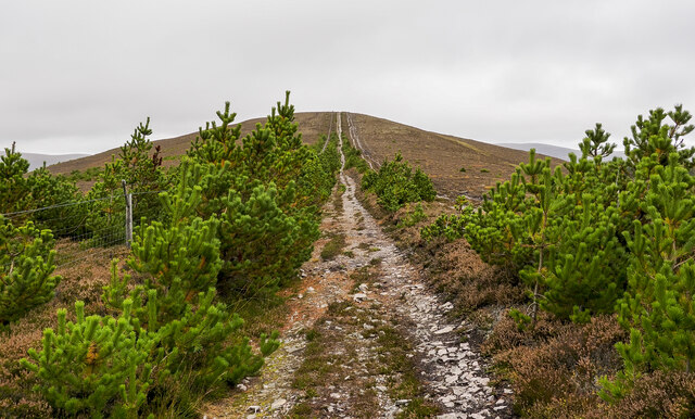
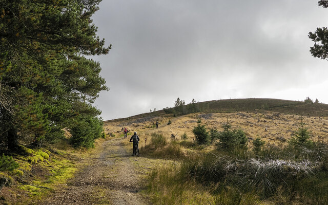
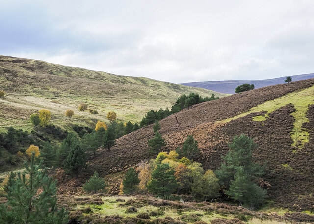
Coire na Fuaraig, located in Banffshire, Scotland, is a stunning glacial valley known for its breathtaking beauty and unique geological features. Nestled in the heart of the Cairngorms National Park, this corrie is surrounded by towering mountains, rugged cliffs, and lush vegetation, creating a picturesque landscape that attracts nature enthusiasts and outdoor adventurers alike.

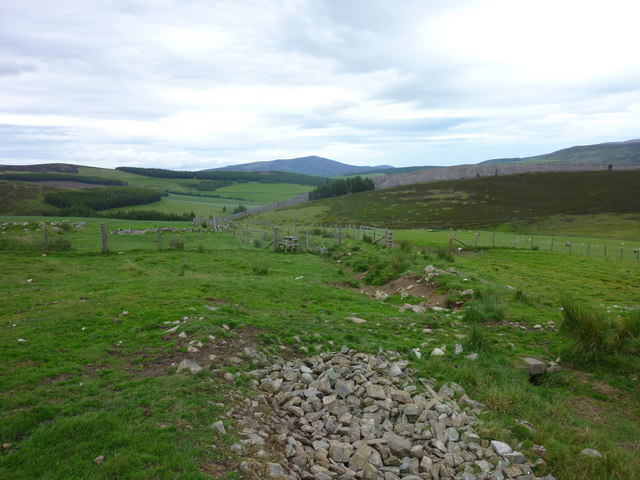
The corrie was formed during the last ice age, when glaciers carved out the valley and left behind a deep, bowl-shaped depression. At the bottom of Coire na Fuaraig, there is a tranquil loch, reflecting the surrounding peaks and offering a serene spot for visitors to relax and take in the scenery.

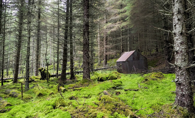
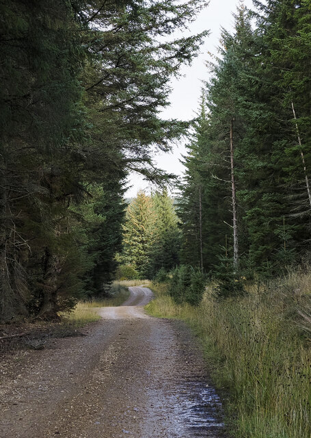
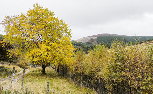
The corrie is home to a diverse range of flora and fauna, thanks to its varied topography and nutrient-rich soil. Heather, mosses, and grasses carpet the valley floor, while hardy alpine plants cling to the steep slopes. The area is also frequented by various bird species, including golden eagles and ptarmigans, adding to its natural charm.

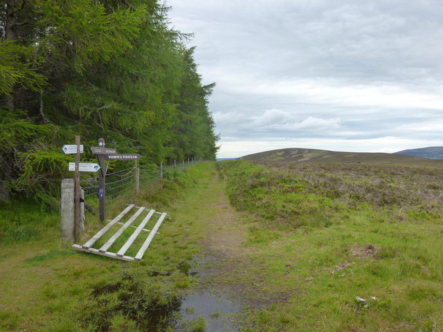
For outdoor enthusiasts, Coire na Fuaraig offers numerous hiking opportunities, with trails of varying difficulty weaving through the valley and up the surrounding mountains. These trails provide stunning panoramic views of the corrie and its surroundings, rewarding hikers with unforgettable vistas.

In conclusion, Coire na Fuaraig is a remarkable glacial valley in Banffshire, Scotland, offering visitors a chance to witness the raw beauty of nature. With its dramatic landscape, diverse flora and fauna, and ample outdoor activities, this corrie is undoubtedly a must-visit destination for anyone seeking an authentic Scottish experience.

If you have any feedback on the listing, please let us know in the comments section below.

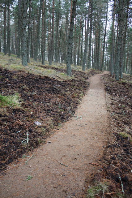
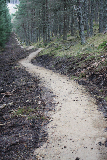
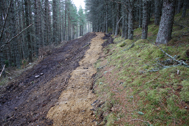
Coire na Fuaraig Images

Images are sourced within 2km of 57.311183/-3.3693715 or Grid Reference NJ1725. Thanks to Geograph Open Source API. All images are credited.

Farm track above Westertown Ben Rinnes in the distance.
Farm track above Westertown
Ben Rinnes in the distance.
Snow covered path towards Carn Daimh
Path on Carn Daimh
Path on Carn Daimh
Speyside Way near Carn Diamh
Path rising to summit of Carn Diamh The path is climbing from the south-east through something of an avenue of pine trees. Curiously, the route of the Speyside Way avoids the summit by contouring around the west side, yet it passes within thirty vertical metres of the top.
Path rising to summit of Carn Diamh
The path is climbing from the south-east through something of an avenue of pine trees. Curiously, the route of the Speyside Way avoids the summit by contouring around the west side, yet it passes within thirty vertical metres of the top.
Mountain bikers below summit of Carn Diamh The bikers are on the final stage of their climb though not all will necessarily visit the summit, even the rough track they're using passes close to the highest point and a branch of it does indeed go there.
Mountain bikers below summit of Carn Diamh
The bikers are on the final stage of their climb though not all will necessarily visit the summit, even the rough track they're using passes close to the highest point and a branch of it does indeed go there.
Coniferous plantation with cabin in Coire na Fuaraig The cabin is leaning and is presumably out of current use; it's on the north side of a forest ride with a thin but clear path.
Coniferous plantation with cabin in Coire na Fuaraig
The cabin is leaning and is presumably out of current use; it's on the north side of a forest ride with a thin but clear path.
Forest road climbing towards Coire na Fuaraig The road is on the north side of a minor hill, Tom a' Chor and is climbing to the east. It's clearly a forestry road and will probably have served as access for a gravel pit but its current major use must be by mountain bikers.
Forest road climbing towards Coire na Fuaraig
The road is on the north side of a minor hill, Tom a' Chor and is climbing to the east. It's clearly a forestry road and will probably have served as access for a gravel pit but its current major use must be by mountain bikers.
Valleys  merging north-west of Tom a' Chor The stream in the nearer valley originates in Coire na Fuaraig but is unnamed on OS maps, it joins the other valley where the drainage is by the Chabet Water.
Valleys merging north-west of Tom a' Chor
The stream in the nearer valley originates in Coire na Fuaraig but is unnamed on OS maps, it joins the other valley where the drainage is by the Chabet Water.
Prominent tree beside access road for Inverchor Inverchor is a remote house on the east side of the valley of the Chabet Water; in the image it's hidden by the lower trees.
The distant hill is Carn Diamh.
Prominent tree beside access road for Inverchor
Inverchor is a remote house on the east side of the valley of the Chabet Water; in the image it's hidden by the lower trees. The distant hill is Carn Diamh.
Carn Daimh track Approach to Carn Daimh along the track from Cairn Ellick.
Carn Daimh track
Approach to Carn Daimh along the track from Cairn Ellick.
Carn Daimh Track junction Several waymarked tracks meet just to the north of Carn Daimh summit.
Carn Daimh Track junction
Several waymarked tracks meet just to the north of Carn Daimh summit.
Looking to Carn Liath Carn Liath from the Speyside way.
Looking to Carn Liath
Carn Liath from the Speyside way.
Carn Daimh Climb Gate on the track up Carn Daimh from Tomnavoulin.
Carn Daimh Climb
Gate on the track up Carn Daimh from Tomnavoulin.
Carn Daimh Climb Looking across the fields toward Ben Rinnes from the well marked Carn Daimh circuit.
Carn Daimh Climb
Looking across the fields toward Ben Rinnes from the well marked Carn Daimh circuit.
New mountain bike trail, Glenlivet Estate The estate are building trails around Carn Meilich, Tom a' Chor and Carn Daimh.  Due to open August 2013, this is part of the blue (easy) route.
New mountain bike trail, Glenlivet Estate
The estate are building trails around Carn Meilich, Tom a' Chor and Carn Daimh. Due to open August 2013, this is part of the blue (easy) route.
Mountain bike trail, Tom a' Chor Glenlivet Estate are building new mountain bike trails, due to open August 2013.  This is part of the red route.
Mountain bike trail, Tom a' Chor
Glenlivet Estate are building new mountain bike trails, due to open August 2013. This is part of the red route.
Mountain bike trail under construction New trails on Glenlivet Estate, due to open August 2013. This is part of the red route.
Mountain bike trail under construction
New trails on Glenlivet Estate, due to open August 2013. This is part of the red route.
Show me another place!

Coire na Fuaraig is located at Grid Ref: NJ1725 (Lat: 57.311183, Lng: -3.3693715)

Unitary Authority: Moray

Police Authority: North East

What 3 Words

///ranks.cattle.automatic. Near Grantown-on-Spey, Highland

Nearby Locations

Coire na Fuaraig

Related Wikis

Tomintoul distillery

Tomintoul distillery is a distillery in Kirkmichael, between Ballindalloch and Tomintoul in the Speyside region of Scotland, producing malt whisky for...

Kirkmichael, Moray

Kirkmichael is a parish and hamlet in Moray, Scotland. Kirkmichael was historically part of Banffshire.The hamlet lies approximately 8 miles south of Ballindalloch...

Tamnavulin distillery

Tamnavulin distillery is a producer of single malt Scotch whisky that was founded in 1966. The distillery is operated by Whyte & Mackay, which Philippines...

Glenlivet Estate

The Glenlivet Estate is located in Glenlivet, Scotland in the Cairngorms National Park. It measures 58,000 acres (230 km2) and is part of The Crown Estate...

Blairfindy Castle

Blairfindy Castle is an L-plan tower house, dating from the 16th century, around 6.5 miles (10.5 km) north of Tomintoul, and west of the River Livet....

The Glenlivet distillery

The Glenlivet distillery is a distillery near Ballindalloch in Moray, Scotland that produces single malt Scotch whisky. It is the oldest legal distillery...

Church of The Incarnation, Tombae

The Church of The Incarnation was built between 1827 and 1829 as a Roman Catholic church, under the patronage of the Gordon family, in Banffshire, Scotland...

Auchnarrow

Auchnarrow (Scottish Gaelic: Achadh an Arbha) is a village in Moray, Scotland.

Have you been to Coire na Fuaraig?

Leave your review of Coire na Fuaraig below (or comments, questions and feedback).