Lowton

Settlement in Somerset Somerset West and Taunton

England

Lowton

Pitminster : Lowton Road Lowton Road off Blackdown Hill.
Pitminster : Lowton Road Credit: Lewis Clarke

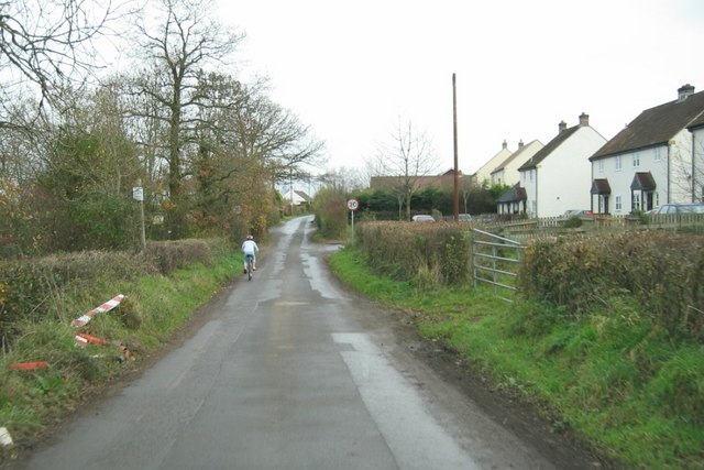
Lowton is a picturesque village located in the county of Somerset, England. It is situated within the Sedgemoor district, around 6 miles northwest of the bustling town of Bridgwater. With a population of approximately 1,000 residents, Lowton exudes a charming and tranquil atmosphere that attracts both locals and visitors alike.

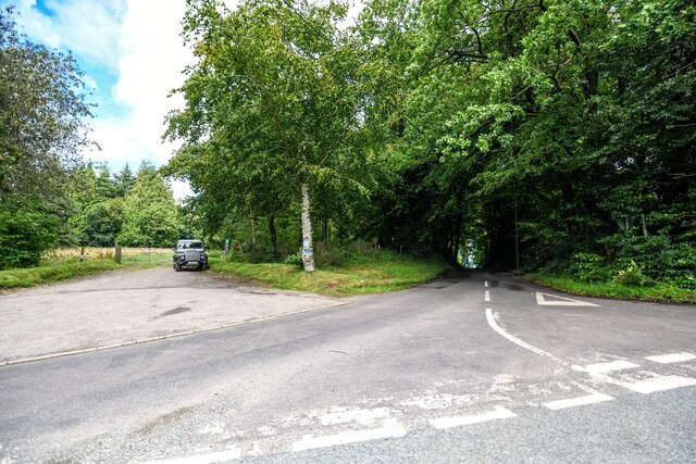
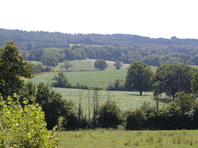
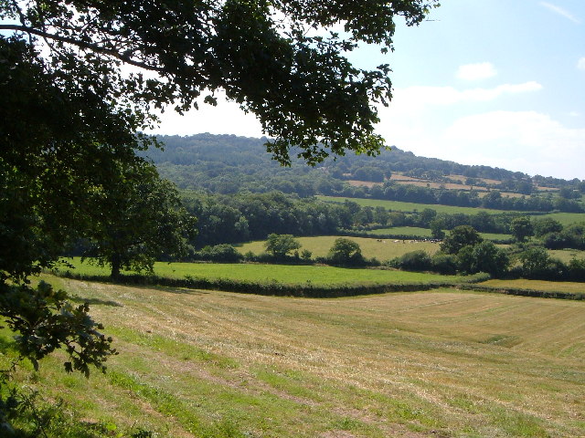
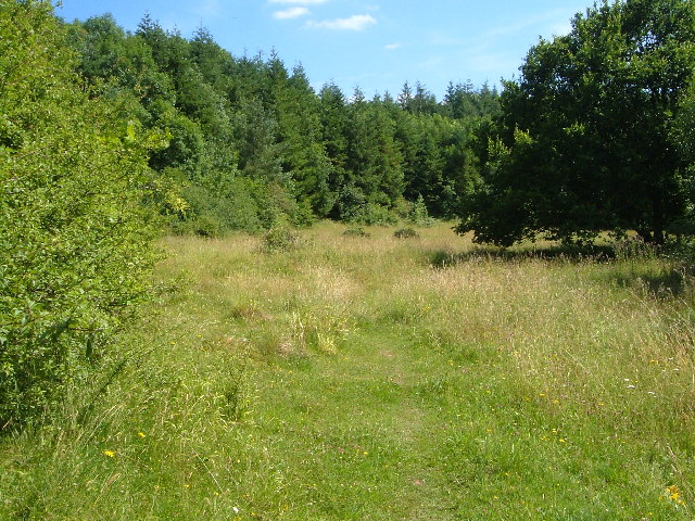
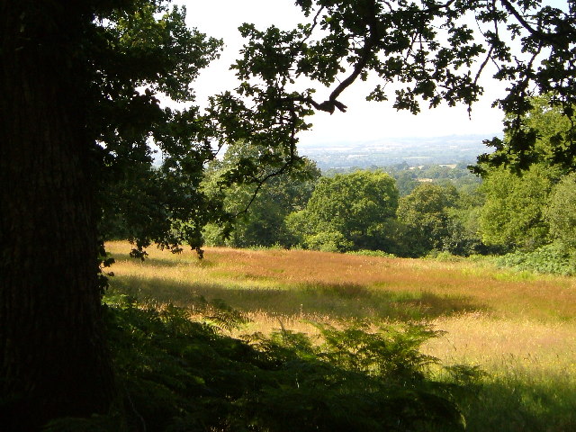
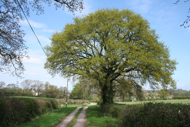
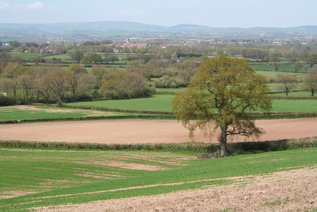
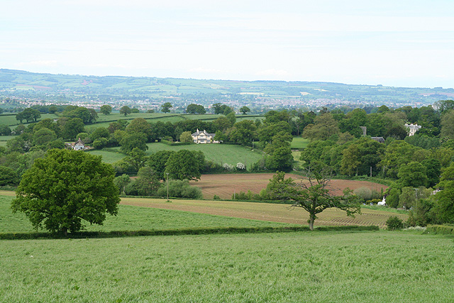
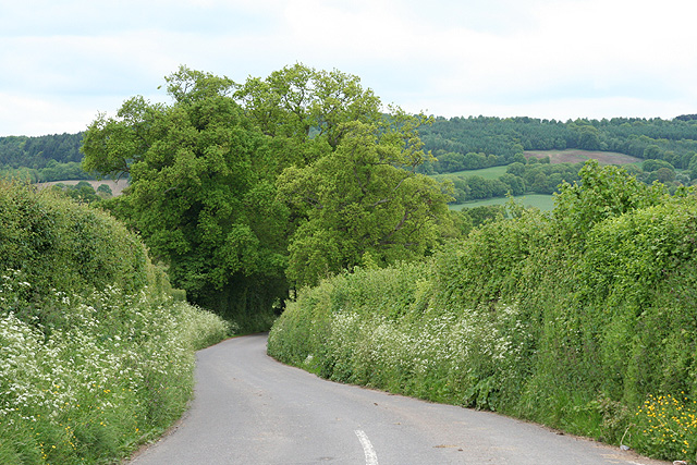
The village is characterized by its idyllic countryside setting, surrounded by rolling hills and lush green fields. It offers breathtaking views of the surrounding landscape, making it a popular destination for nature enthusiasts and hikers. The nearby River Parrett further enhances the village's natural beauty, providing residents with scenic walks along its banks.

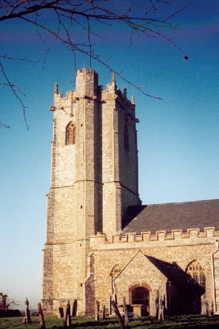
Lowton boasts a rich history, evident in its architecture and landmarks. The 12th-century St. Mary's Church stands proudly in the heart of the village, serving as a reminder of its long-standing heritage. The church's stunning stained-glass windows and intricate stonework are a testament to the village's historical significance.

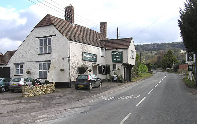
Despite its small size, Lowton offers a range of amenities for its residents. The village is home to a primary school, a community center, and a few local shops and businesses that cater to the needs of the community. Additionally, its close proximity to Bridgwater provides easy access to a wider array of services and facilities.

Overall, Lowton is a charming and picturesque village that offers a peaceful and close-knit community for its residents. With its stunning natural surroundings and rich history, it is a destination that truly captures the essence of rural Somerset.

If you have any feedback on the listing, please let us know in the comments section below.
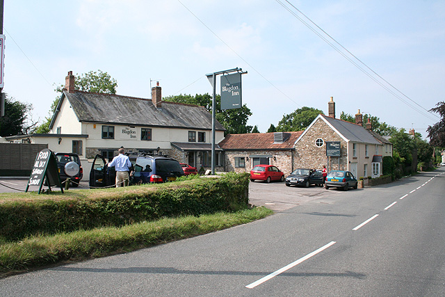
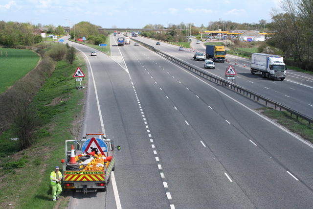
Lowton Images

Images are sourced within 2km of 50.959262/-3.144625 or Grid Reference ST1918. Thanks to Geograph Open Source API. All images are credited.

Pitminster : Lowton Road Lowton Road off Blackdown Hill.
Pitminster : Lowton Road
Lowton Road off Blackdown Hill.
Pitminster : Woodland Woodland seen off Blackdown Hill.
Pitminster : Woodland
Woodland seen off Blackdown Hill.
Pitminster : Blackdown Hill Looking along the road.
Pitminster : Blackdown Hill
Looking along the road.
Pitminster : Blackdown Hill Looking along Blackdown Hill.
Pitminster : Blackdown Hill
Looking along Blackdown Hill.
Pitminster : Track A track heading off Blackdown Hill to Sheep Wash.
Pitminster : Track
A track heading off Blackdown Hill to Sheep Wash.
Northern slopes of Blackdown Hills from Angersleigh Looking SSW from near Angersleigh church across farmland towards Leigh Hill
Northern slopes of Blackdown Hills from Angersleigh
Looking SSW from near Angersleigh church across farmland towards Leigh Hill
Farmland SE of Ruggin Looking WSW across the northern slopes of the Blackdown Hills, with Buckland Wood and Hill behind
Farmland SE of Ruggin
Looking WSW across the northern slopes of the Blackdown Hills, with Buckland Wood and Hill behind
Quants Nature Reserve Hidden within steep woods on the north-facing slopes of the Blackdown Hills, this meadow forms part of Quants SSSI, rich in plants indicative of ancient woodland, butterflies and other fauna
Quants Nature Reserve
Hidden within steep woods on the north-facing slopes of the Blackdown Hills, this meadow forms part of Quants SSSI, rich in plants indicative of ancient woodland, butterflies and other fauna
Woodland meadow near Farm Wood Bungalow Here the lower north-facing slopes of the Blackdown Hills form a patchwork of woods (here oak) and fields. Looking northwards, with a view across the Vale of Taunton Deane in the background.
Woodland meadow near Farm Wood Bungalow
Here the lower north-facing slopes of the Blackdown Hills form a patchwork of woods (here oak) and fields. Looking northwards, with a view across the Vale of Taunton Deane in the background.
The Lamb and Flag, Blagdon Hill
Blagdon Hill Entering the village from the Howleigh road.
Blagdon Hill
Entering the village from the Howleigh road.
West Buckland: the way to Buckland Farm The notice on the post indicates that this is a private road. With the oak tree just coming into leaf
West Buckland: the way to Buckland Farm
The notice on the post indicates that this is a private road. With the oak tree just coming into leaf
Pitminster: near Chelmsine Looking west-north-west over farmland. Wellington, with its church tower, can be seen in mid distance
Pitminster: near Chelmsine
Looking west-north-west over farmland. Wellington, with its church tower, can be seen in mid distance
Pitminster: cemetery at Chelmsine chapel Looking east-south-east with the Blackdown Hills beyond.
Pitminster: cemetery at Chelmsine chapel
Looking east-south-east with the Blackdown Hills beyond.
Pitminster: road by Mount Pleasant This route links Wellington with the A303 at Yarcombe and for much of its length runs in a series of straight sections. The bends at Mount Pleasant are untypical. Looking east-south-east
Pitminster: road by Mount Pleasant
This route links Wellington with the A303 at Yarcombe and for much of its length runs in a series of straight sections. The bends at Mount Pleasant are untypical. Looking east-south-east
Pitminster: towards Angersleigh Looking north-north-east on the road from Forches Corner (The Marry Harriers). Ahead The Glebe House stands by the road to Taunton. To the right the church of St Michael and All Angels and Leigh Court are half hidden by trees. Taunton lies in the distance
Pitminster: towards Angersleigh
Looking north-north-east on the road from Forches Corner (The Marry Harriers). Ahead The Glebe House stands by the road to Taunton. To the right the church of St Michael and All Angels and Leigh Court are half hidden by trees. Taunton lies in the distance
Pitminster: approaching Angersleigh Looking south on the road from Taunton with Leigh Hill on the Blackdowns providing the backdrop
Pitminster: approaching Angersleigh
Looking south on the road from Taunton with Leigh Hill on the Blackdowns providing the backdrop
Pitminster: The Blagdon Inn At Blagdon Hill. Looking north-north-west on the road to Taunton.
Pitminster: The Blagdon Inn
At Blagdon Hill. Looking north-north-west on the road to Taunton.
Show me another place!

Lowton is located at Grid Ref: ST1918 (Lat: 50.959262, Lng: -3.144625)

Administrative County: Somerset

District: Somerset West and Taunton

Police Authority: Avon and Somerset

What 3 Words

///smooth.gasping.tastings. Near Taunton, Somerset

Related Wikis

Nearby Amenities

Located within 500m of 50.959262,-3.144625
Lowton
Place: hamlet
Lat/Long: 50.9587039/-3.1436232
Angersleigh
Place: hamlet
Lat/Long: 50.962589/-3.1430193
The data included in this document is from www.openstreetmap.org. The data is made available under ODbL.

Have you been to Lowton?

Leave your review of Lowton below (or comments, questions and feedback).