An Garbh-choire
Corrie (Glacial Valley) in Inverness-shire
Scotland
An Garbh-choire

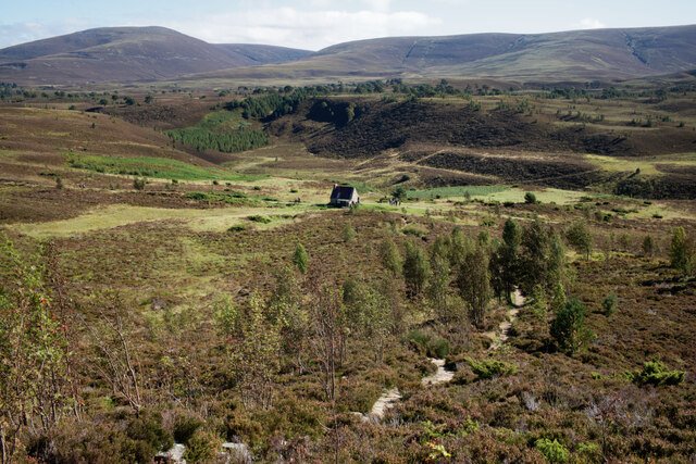
An Garbh-choire is a stunning corrie located in Inverness-shire, Scotland. A corrie, also known as a glacial valley, is a steep-walled, hollowed-out basin that was formed by the erosive action of a glacier during the last Ice Age.
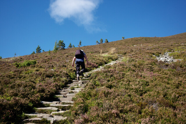
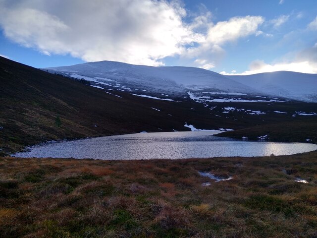
An Garbh-choire is surrounded by towering cliffs and is characterized by its U-shaped valley and moraine deposits. The corrie is situated in a remote and rugged landscape, making it a popular destination for hikers and outdoor enthusiasts looking to explore the natural beauty of the Scottish Highlands.
Visitors to An Garbh-choire can expect to see a variety of wildlife, including red deer, golden eagles, and ptarmigan. The corrie is also home to a number of rare plant species, adding to its ecological importance.
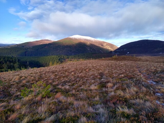
Overall, An Garbh-choire is a must-visit destination for those seeking a glimpse into the geological history of the Scottish Highlands and a chance to experience the breathtaking beauty of a glacial valley firsthand.
If you have any feedback on the listing, please let us know in the comments section below.
An Garbh-choire Images
Images are sourced within 2km of 57.172273/-3.6377983 or Grid Reference NJ0110. Thanks to Geograph Open Source API. All images are credited.


An Garbh-choire is located at Grid Ref: NJ0110 (Lat: 57.172273, Lng: -3.6377983)
Unitary Authority: Highland
Police Authority: Highlands and Islands
What 3 Words
///waking.dots.appealing. Near Aviemore, Highland
Nearby Locations
Related Wikis
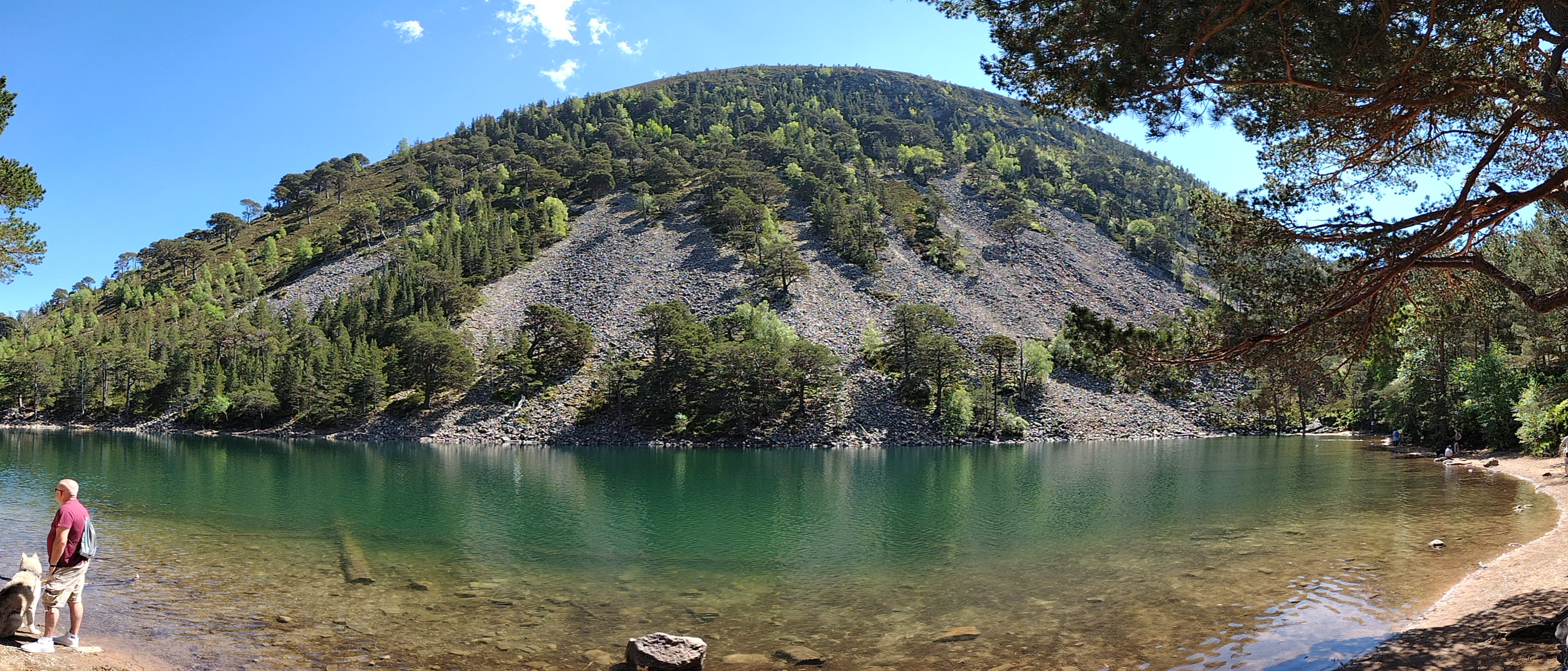
An Lochan Uaine
An Lochan Uaine is a small freshwater loch in the Highland council area of Scotland. == Etymology == Lochan Uaine can be translated from Scottish Gaelic...
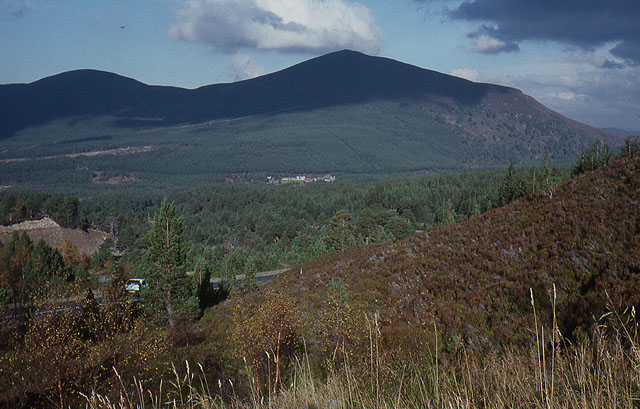
Meall a' Bhuachaille
Meall a' Bhuachaille is a mountain in the Cairngorms in Scotland. It is situated 10 km east of Aviemore, to the north of Loch Morlich and Glenmore Forest...
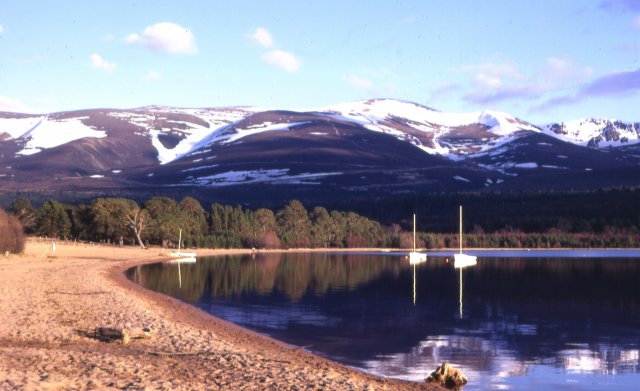
Loch Morlich
Loch Morlich (Scottish Gaelic, Loch Mhùrlaig) is a freshwater loch in the Badenoch and Strathspey area of Highland, Scotland near Aviemore. The loch is...

Glenmore Forest Park
Glenmore Forest Park is a remnant of the Caledonian Forest near Aviemore in the Badenoch and Strathspey district of Highland, Scotland. Owned and managed...
Have you been to An Garbh-choire?
Leave your review of An Garbh-choire below (or comments, questions and feedback).