Lowfields

Settlement in Yorkshire

England

Lowfields

Cargo Fleet Social Club Opposite the Roman Catholic Cemetery
Cargo Fleet Social Club Credit: Eirian Evans

Lowfields is a small village located in the county of Yorkshire, England. Situated in the northern part of the county, it is nestled amidst picturesque countryside and offers a tranquil and idyllic setting. The village is part of the larger administrative district of Harrogate.

Lowfields is known for its rich historical heritage, with records dating back to medieval times. The architecture of the village reflects its past, with charming stone-built cottages and traditional houses that have stood the test of time. The surrounding landscape is predominantly agricultural, with lush green fields and rolling hills. This makes it an ideal location for nature enthusiasts and outdoor activities such as hiking and cycling.

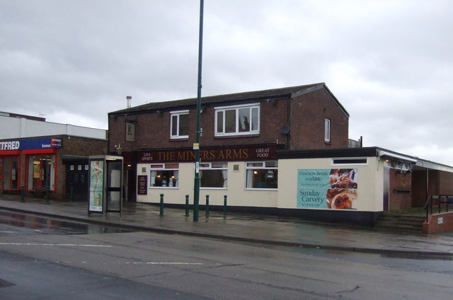
The village boasts a tight-knit community, with a population of around 500 residents. The community is known for its warmth and friendliness, and there is a strong sense of community spirit. Lowfields has a few essential amenities, including a local pub, a village hall, and a small shop that caters to the basic needs of the residents. For more extensive amenities, residents can easily access nearby towns and cities.

In terms of transportation, Lowfields is well-connected to the rest of Yorkshire. The village has good road links, with major highways and motorways in close proximity. Public transportation is also available, with regular bus services connecting the village to nearby towns and cities.

Overall, Lowfields offers a peaceful and picturesque place to live, with its rich history, beautiful countryside, and tight-knit community. It is a perfect destination for those seeking a serene and rural lifestyle amidst the stunning landscapes of Yorkshire.

If you have any feedback on the listing, please let us know in the comments section below.
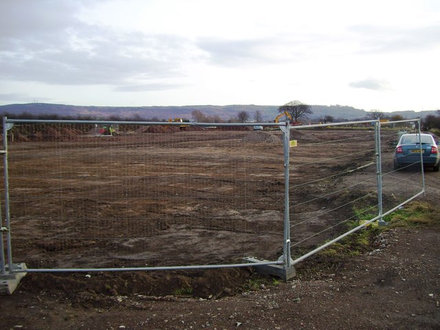
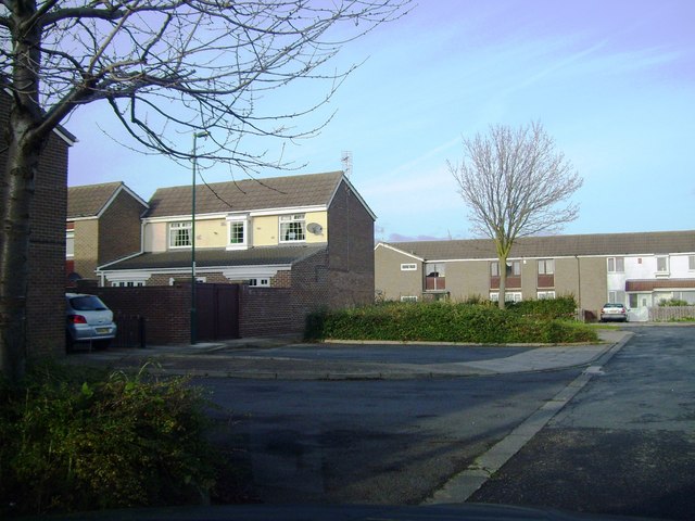
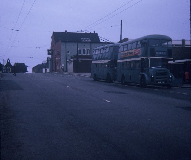
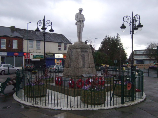
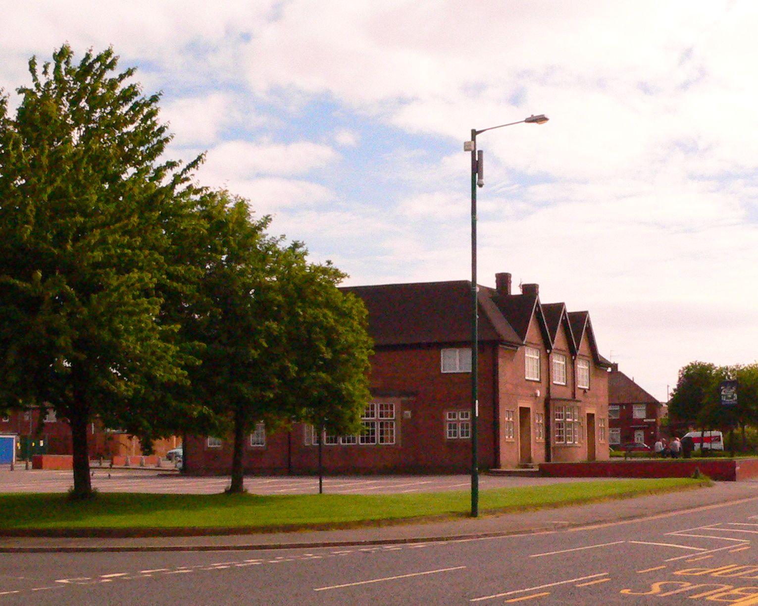
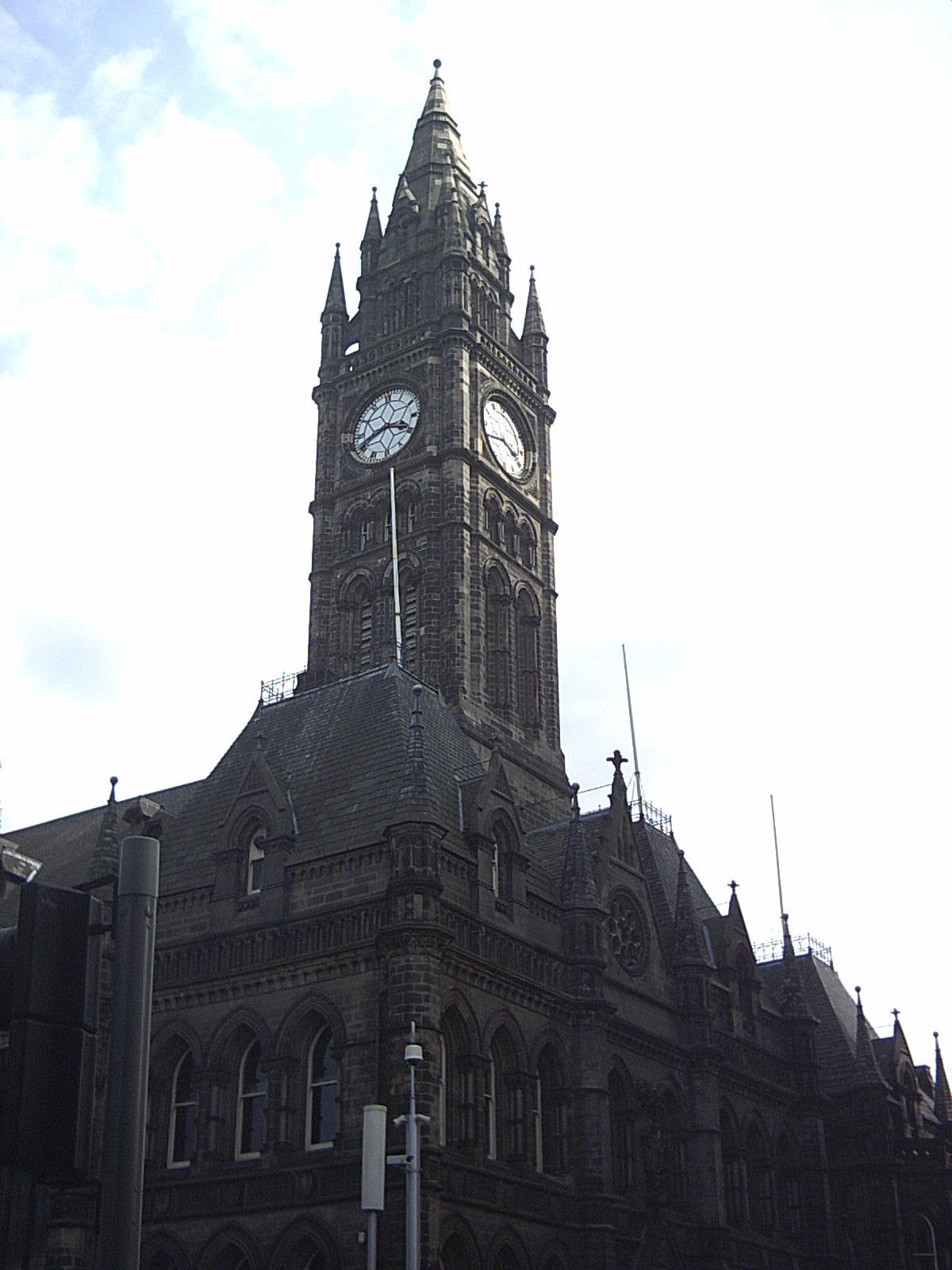
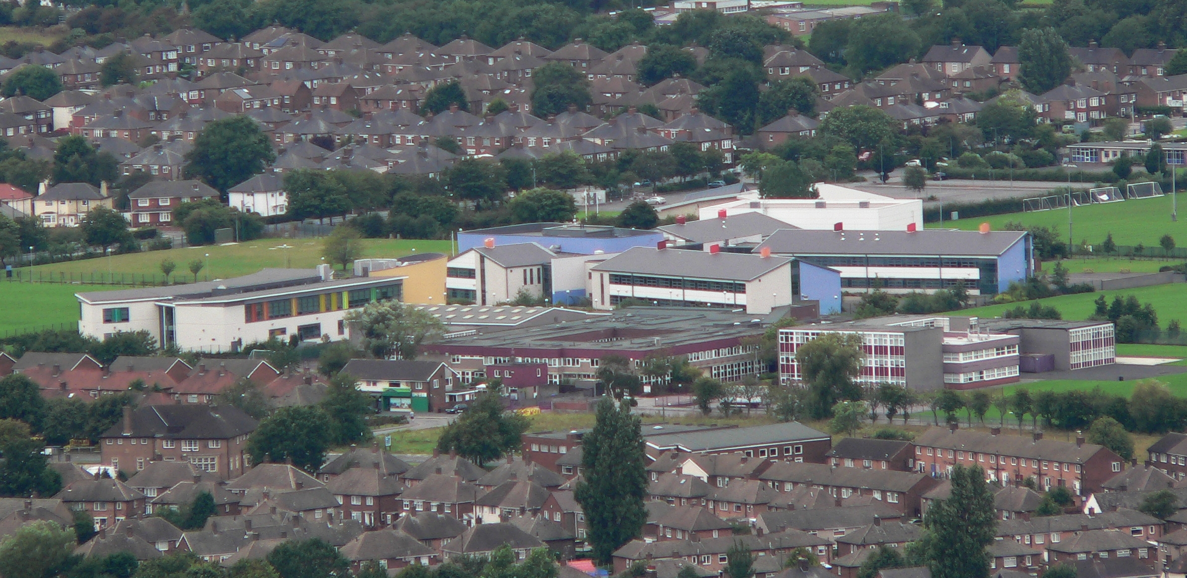
Lowfields Images

Images are sourced within 2km of 54.563357/-1.1664083 or Grid Reference NZ5419. Thanks to Geograph Open Source API. All images are credited.

Cargo Fleet Social Club Opposite the Roman Catholic Cemetery
Cargo Fleet Social Club
Opposite the Roman Catholic Cemetery
Ormesby, Church Lane The benchmark is cut into a 1st course stone on the bankside wall on the east side of the lane.
Ormesby, Church Lane
The benchmark is cut into a 1st course stone on the bankside wall on the east side of the lane.
Ormesby, Church Lane There is a benchmark cut into a 1st course stone on the bankside wall on the east side of the lane.
Ormesby, Church Lane
There is a benchmark cut into a 1st course stone on the bankside wall on the east side of the lane.
Crossroads, South Bank – 1971 Middlesbrough Road at Normanby Road. Today, this bit of Middlesbrough Road effectively no longer exists as a result of its replacement by the modern A66 <a title="https://www.geograph.org.uk/photo/145693" href="https://www.geograph.org.uk/photo/145693">Link</a> . All the buildings on the right hand side have been demolished. On the left the double doors are the entrance to the local Post Office and Savings Bank, built into what had been the Workers' Institute.

The view was taken on the last day of operation of trolleybuses on Teesside. Trolleybus T291 was one of 5 bought second-hand from Reading in 1969 to shore up the ageing fleet. It is a Sunbeam F4A with Burlingham bodywork, new in 1961.

This is one of a series of views featuring buses in the 60s, 70s, and 80s. <a title="https://www.geograph.org.uk/search.php?i=137652761" href="https://www.geograph.org.uk/search.php?i=137652761">Link</a>
Crossroads, South Bank – 1971
Middlesbrough Road at Normanby Road. Today, this bit of Middlesbrough Road effectively no longer exists as a result of its replacement by the modern A66 Link . All the buildings on the right hand side have been demolished. On the left the double doors are the entrance to the local Post Office and Savings Bank, built into what had been the Workers' Institute. The view was taken on the last day of operation of trolleybuses on Teesside. Trolleybus T291 was one of 5 bought second-hand from Reading in 1969 to shore up the ageing fleet. It is a Sunbeam F4A with Burlingham bodywork, new in 1961. This is one of a series of views featuring buses in the 60s, 70s, and 80s. Link
Middlesbrough Road, South Bank – 1971 This section of Middlesbrough Road has been completely obliterated by the construction of the current A66.

Classic South Bank ironworks scenery, including gasholder and blast furnace, with a Teesside trolleybus on the final day of trolleybus operation.

Trolleybus T291 was one of 5 bought second-hand from Reading in 1969 to shore up the ageing fleet. It is a Sunbeam F4A with Burlingham bodywork, new in 1961.

This is one of a series of views featuring buses in the 60s, 70s, and 80s. <a title="https://www.geograph.org.uk/search.php?i=137652761" href="https://www.geograph.org.uk/search.php?i=137652761">Link</a>
Middlesbrough Road, South Bank – 1971
This section of Middlesbrough Road has been completely obliterated by the construction of the current A66. Classic South Bank ironworks scenery, including gasholder and blast furnace, with a Teesside trolleybus on the final day of trolleybus operation. Trolleybus T291 was one of 5 bought second-hand from Reading in 1969 to shore up the ageing fleet. It is a Sunbeam F4A with Burlingham bodywork, new in 1961. This is one of a series of views featuring buses in the 60s, 70s, and 80s. Link
The Eston Hotel, Eston A Sam Smith's public house.
The Eston Hotel, Eston
A Sam Smith's public house.
The Eston Hotel, Eston A Sam Smith's public house.
The Eston Hotel, Eston
A Sam Smith's public house.
The Eston Hotel, Eston A Sam Smith's public house.
The Eston Hotel, Eston
A Sam Smith's public house.
The Eston Hotel, Eston A Sam Smith's public house.
The Eston Hotel, Eston
A Sam Smith's public house.
High Farm, Taylor Wimpey Development
Birch Tree Close, Ormesby
Thorntree RC Cemetery
Site of former Eston station View roughly SW: ex-NER terminus of a short branch from Flats Lane near Cargo Fleet, which had a passenger service only until 11/3/29, but was a goods terminal until 3/10/66. There was no sign of railway property in 1997.
Site of former Eston station
View roughly SW: ex-NER terminus of a short branch from Flats Lane near Cargo Fleet, which had a passenger service only until 11/3/29, but was a goods terminal until 3/10/66. There was no sign of railway property in 1997.
Two Buses in High Street, Eston Taken in July 1970, this photo shows two vehicles in the short lived livery of Teesside Municipal Transport, which existed from the 1st April 1968 to 31st March 1974. Previously, they were owned by the Tees-side Railless Traction Board and painted in the Board's dark green and cream livery. The front vehicle is 37 (FVN 37D) a Leyland Titan motorbus with Roe 61-seater bodywork working to North Ormesby via Grangetown, whilst the one behind it is a Sunbeam F4 trolleybus 4 (GAJ 14) with similar bodywork working on a private tour of the area's trolleybus system which closed nine months later in April 1971. The trolleybus overhead wiring seen in this photo was soon dismantled after that closure. Behind the two vehicles in High Street is the Eston Constitutional WMC with the clock fixed to it, whilst in the distance to the left of the photo is Eston Congregational Church.
Two Buses in High Street, Eston
Taken in July 1970, this photo shows two vehicles in the short lived livery of Teesside Municipal Transport, which existed from the 1st April 1968 to 31st March 1974. Previously, they were owned by the Tees-side Railless Traction Board and painted in the Board's dark green and cream livery. The front vehicle is 37 (FVN 37D) a Leyland Titan motorbus with Roe 61-seater bodywork working to North Ormesby via Grangetown, whilst the one behind it is a Sunbeam F4 trolleybus 4 (GAJ 14) with similar bodywork working on a private tour of the area's trolleybus system which closed nine months later in April 1971. The trolleybus overhead wiring seen in this photo was soon dismantled after that closure. Behind the two vehicles in High Street is the Eston Constitutional WMC with the clock fixed to it, whilst in the distance to the left of the photo is Eston Congregational Church.
The Miners Arms pub High Street, Eston.
The Miners Arms pub
High Street, Eston.
Service station on High Street
Police station on High Street
Eston War Memorial
Eston War Memorial
Show me another place!

Lowfields is located at Grid Ref: NZ5419 (Lat: 54.563357, Lng: -1.1664083)

Division: North Riding

Unitary Authority: Redcar and Cleveland

Police Authority: Cleveland

What 3 Words

///bleak.fully.crowds. Near South Bank, North Yorkshire

Nearby Locations

Lowfields

Related Wikis

Teesville

Teesville is an area in the borough of Redcar and Cleveland, North Yorkshire, England. A ward covering the area had a population of 6,517 at the 2011 census...

Cleveland (county)

Cleveland was a non-metropolitan county located in North East England which existed between 1974 and 1996. Cleveland was a two-tier county and had four...

Gillbrook Academy

Gillbrook Academy (formerly Gillbrook College) was a mixed academy and sixth form in Teesville, Redcar and Cleveland, North Yorkshire. It merged with neighbouring...

Outwood Academy Normanby

Outwood Academy Normanby (formerly Hillsview Academy) is a secondary school with academy status, located in the Teesville suburb of Middlesbrough, North...

Nearby Amenities

Located within 500m of 54.563357,-1.1664083
Traffic Signals
Lat/Long: 54.5632452/-1.1605114
Turning Circle
Lat/Long: 54.5632871/-1.1627048
Crossing
Crossing: traffic_signals
Lat/Long: 54.5631061/-1.1603766
Addr City: Middlesbrough
Addr Housenumber: 54
Addr Postcode: TS6 0DP
Addr Street: Sycamore Crescent
Addr Suburb: Eston
Addr Village: Teesville
Building: house
Lat/Long: 54.5664235/-1.1653956
Addr City: Middlesbrough
Addr Housenumber: 52
Addr Postcode: TS6 0DP
Addr Street: Sycamore Crescent
Addr Suburb: Eston
Addr Village: Teesville
Building: house
Lat/Long: 54.5663659/-1.1655029
Addr City: Middlesbrough
Addr Housenumber: 60
Addr Postcode: TS6 0DP
Addr Street: Sycamore Crescent
Addr Suburb: Eston
Addr Village: Teesville
Building: house
Lat/Long: 54.5666769/-1.1650629
Addr City: Middlesbrough
Addr Housenumber: 62
Addr Postcode: TS6 0DP
Addr Street: Sycamore Crescent
Addr Suburb: Eston
Addr Village: Teesville
Building: house
Lat/Long: 54.5667267/-1.1649797
Addr City: Middlesbrough
Addr Housenumber: 64
Addr Postcode: TS6 0DP
Addr Street: Sycamore Crescent
Addr Suburb: Eston
Addr Village: Teesville
Building: house
Lat/Long: 54.566806/-1.1648456
Addr City: Middlesbrough
Addr Housenumber: 56
Addr Postcode: TS6 0DP
Addr Street: Sycamore Crescent
Addr Suburb: Eston
Addr Village: Teesville
Building: house
Lat/Long: 54.5665199/-1.1652801
Addr City: Middlesbrough
Addr Housenumber: 58
Addr Postcode: TS6 0DP
Addr Street: Sycamore Crescent
Addr Suburb: Eston
Addr Village: Teesville
Building: house
Lat/Long: 54.5665929/-1.1651862
Crossing
Lat/Long: 54.5640004/-1.1720006
Stacie's Grrroomers
Addr City: Middlesbrough
Addr Housenumber: 15
Addr Postcode: TS6 0AT
Addr Street: Kingsway Avenue
Addr Suburb: Eston
Addr Village: Teesville
Shop: pet_grooming
Lat/Long: 54.5674792/-1.1686025
Direction: 145
Generator Method: photovoltaic
Generator Output Electricity: yes
Generator Solar Modules: 15
Generator Source: solar
Generator Type: solar_photovoltaic_panel
Location: roof
Power: generator
Lat/Long: 54.5652727/-1.1729679
Direction: 145
Generator Method: photovoltaic
Generator Output Electricity: yes
Generator Solar Modules: 15
Generator Source: solar
Generator Type: solar_photovoltaic_panel
Location: roof
Power: generator
Lat/Long: 54.5653007/-1.1728687
Direction: 145
Generator Method: photovoltaic
Generator Output Electricity: yes
Generator Solar Modules: 15
Generator Source: solar
Generator Type: solar_photovoltaic_panel
Location: roof
Power: generator
Lat/Long: 54.5648752/-1.1727292
Direction: 145
Generator Method: photovoltaic
Generator Output Electricity: yes
Generator Solar Modules: 8
Generator Source: solar
Generator Type: solar_photovoltaic_panel
Location: roof
Power: generator
Lat/Long: 54.5657457/-1.1718937
Direction: 235
Generator Method: photovoltaic
Generator Output Electricity: yes
Generator Solar Modules: 15
Generator Source: solar
Generator Type: solar_photovoltaic_panel
Location: roof
Power: generator
Lat/Long: 54.5656607/-1.1711908
Crossing
Lat/Long: 54.5632251/-1.171399
The data included in this document is from www.openstreetmap.org. The data is made available under ODbL.

Have you been to Lowfields?

Leave your review of Lowfields below (or comments, questions and feedback).