Coire Cam
Corrie (Glacial Valley) in Inverness-shire
Scotland
Coire Cam

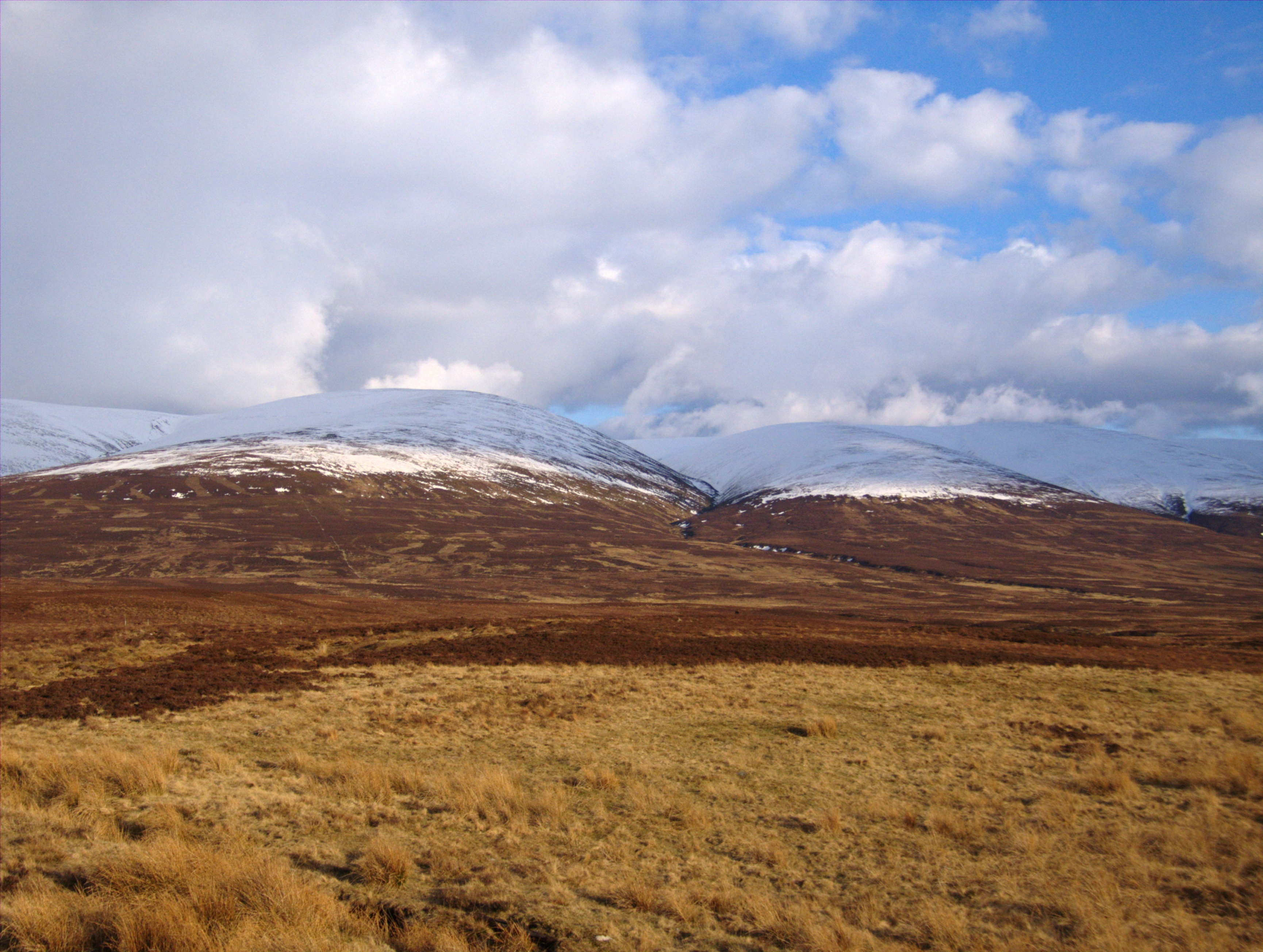
Coire Cam is a glacial valley located in Inverness-shire, Scotland. It is situated within the Cairngorms National Park, known for its stunning natural beauty and rugged landscapes. The name "Coire Cam" translates to "Crooked Corrie" in Gaelic, reflecting the unique shape of the valley.
The valley was formed during the last Ice Age, when glaciers carved out the steep-sided slopes that now characterize the area. Today, Coire Cam is a popular destination for hikers and climbers looking to explore the dramatic terrain and breathtaking views of the surrounding mountains.
The valley is home to a variety of plant and animal species, including rare alpine plants and birds of prey such as golden eagles and ptarmigans. The rugged terrain and remote location make Coire Cam a challenging but rewarding destination for outdoor enthusiasts seeking adventure and solitude in the Scottish Highlands.
Visitors to Coire Cam can enjoy a range of activities, including hiking, rock climbing, and wildlife spotting. The valley is also a great place for photography, with its dramatic landscapes and ever-changing weather creating stunning vistas at every turn.
If you have any feedback on the listing, please let us know in the comments section below.
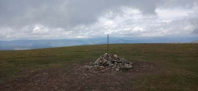
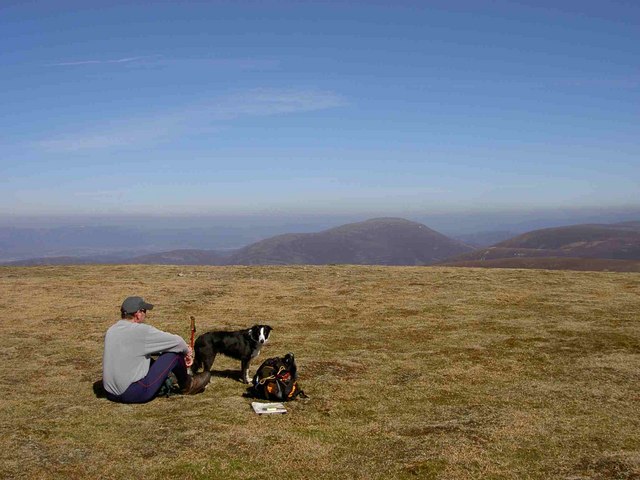
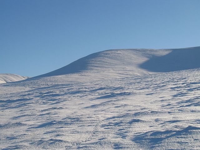
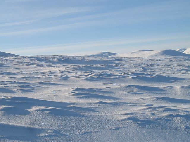
Coire Cam Images
Images are sourced within 2km of 56.919446/-4.1676688 or Grid Reference NN6882. Thanks to Geograph Open Source API. All images are credited.


Coire Cam is located at Grid Ref: NN6882 (Lat: 56.919446, Lng: -4.1676688)
Unitary Authority: Highland
Police Authority: Highlands and Islands
What 3 Words
///lavished.podcast.websites. Near Newtonmore, Highland
Nearby Locations
Related Wikis
Càrn na Caim
Carn na Caim (941 m) is a mountain in the Grampian Mountains of Scotland. It lies on the border of Highland and Perth and Kinross, east of the Pass of...

Dalwhinnie
Dalwhinnie ( dal-WHIN-ee; Scottish Gaelic: Dail Chuinnidh "meeting place") is a small village in the Scottish Highlands. Dalwhinnie is located at the head...
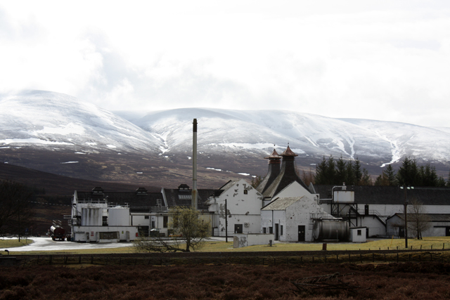
Dalwhinnie distillery
Dalwhinnie distillery, situated in the Highland village of Dalwhinnie in Scotland, produces single malt Scotch whisky. Whilst labelled as Highland, as...
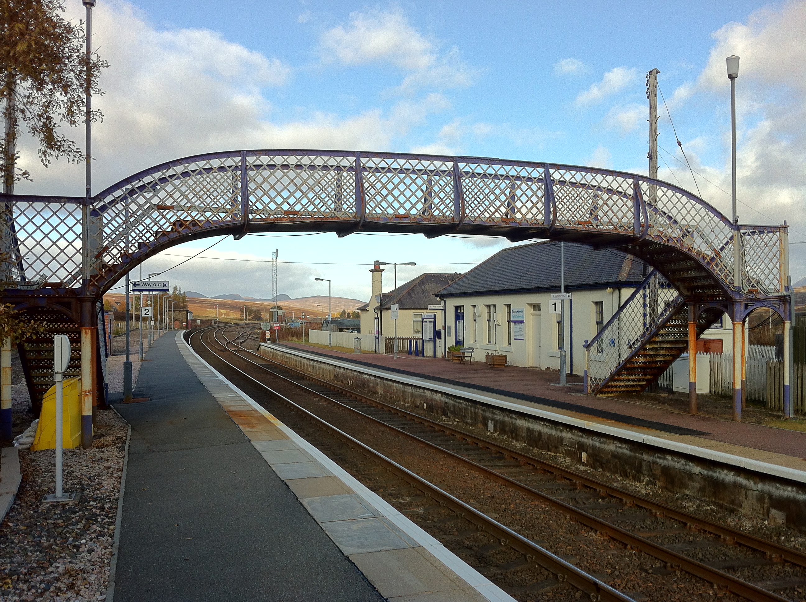
Dalwhinnie railway station
Dalwhinnie railway station is a railway station serving the village of Dalwhinnie, Highland, Scotland. The station is managed by ScotRail and is on the...
Have you been to Coire Cam?
Leave your review of Coire Cam below (or comments, questions and feedback).