Becontree
Settlement in Essex
England
Becontree

Becontree is a suburban area located in the London Borough of Barking and Dagenham, Essex, England. It is one of the largest housing estates in the world and was developed in the early 20th century to address the housing shortage in London.
The construction of Becontree began in the 1920s as part of the London County Council's ambitious plan to provide affordable housing for working-class families. The estate was designed to accommodate around 100,000 residents and consisted predominantly of semi-detached and terraced houses with spacious gardens. The layout of the estate was carefully planned, featuring wide tree-lined roads, green spaces, and community facilities.
Today, Becontree is a diverse and vibrant community with a population of approximately 100,000 people. The estate has evolved over the years, and apart from the original housing, there are now numerous apartment buildings, shops, schools, and recreational areas. The area benefits from excellent transport links, with several bus routes and Becontree Underground station providing easy access to central London.
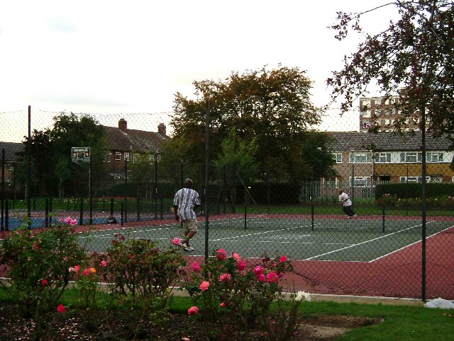
Becontree offers a range of amenities and services to its residents. The Parsloes Park is a popular local attraction, providing open green spaces, a lake, and facilities for sports and leisure activities. The area also has a number of primary and secondary schools, healthcare centers, and retail options, including the Becontree Heath Leisure Centre and the Becontree Retail Park.
Overall, Becontree is a thriving residential area that combines historical significance with modern amenities, making it an attractive place to live for families and individuals seeking a well-connected and community-oriented environment.
If you have any feedback on the listing, please let us know in the comments section below.
Becontree Images
Images are sourced within 2km of 51.548566/0.134048 or Grid Reference TQ4885. Thanks to Geograph Open Source API. All images are credited.


Becontree is located at Grid Ref: TQ4885 (Lat: 51.548566, Lng: 0.134048)
Unitary Authority: Barking and Dagenham
Police Authority: Metropolitan
What 3 Words
///nodded.sadly.cloud. Near Becontree, London
Nearby Locations
Related Wikis

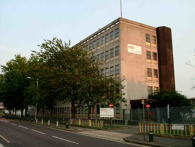
The Sydney Russell School
The Sydney Russell School is a coeducational secondary school and sixth form located in Dagenham, London, England. == Admissions == It is near the junction...
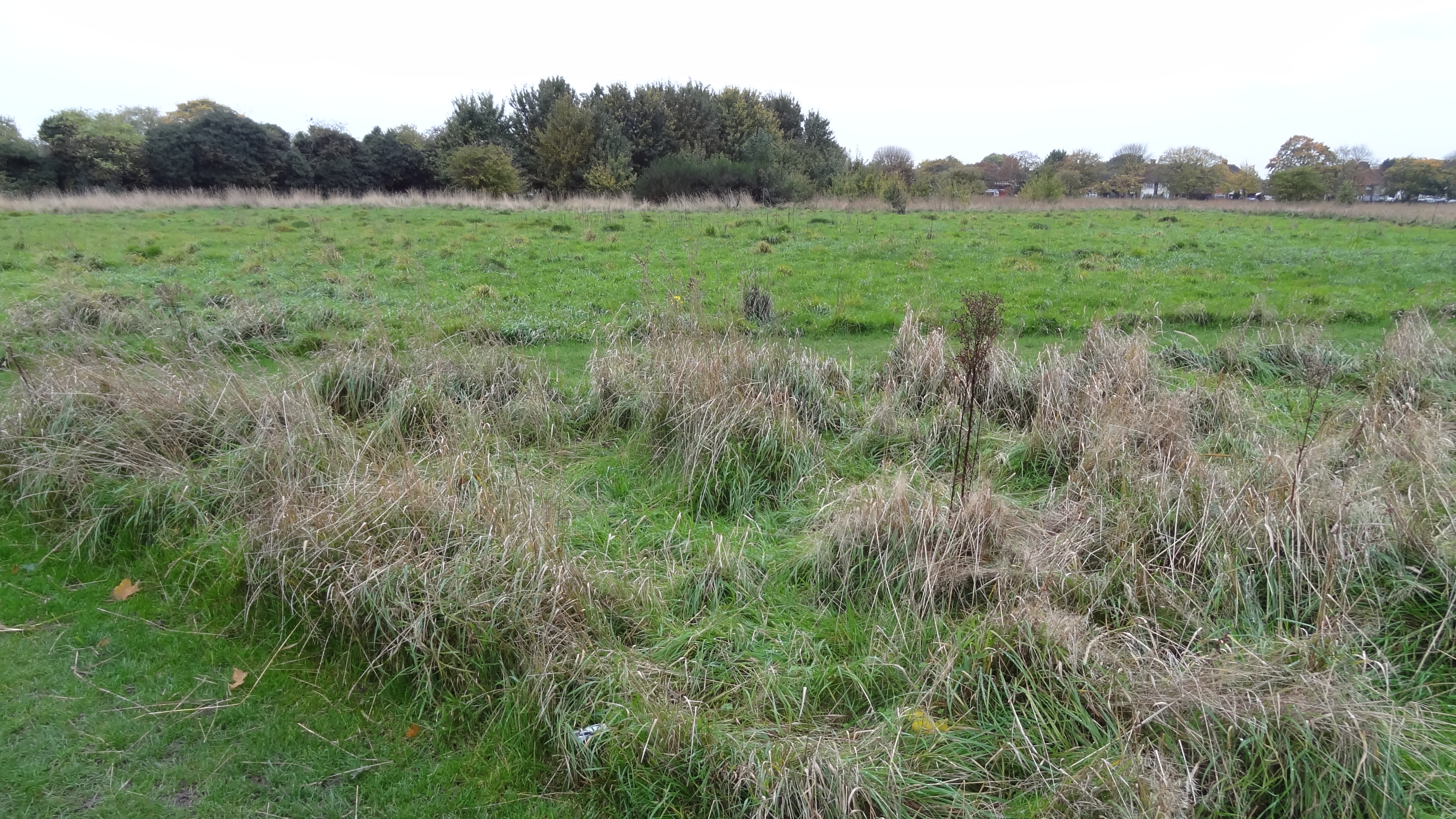
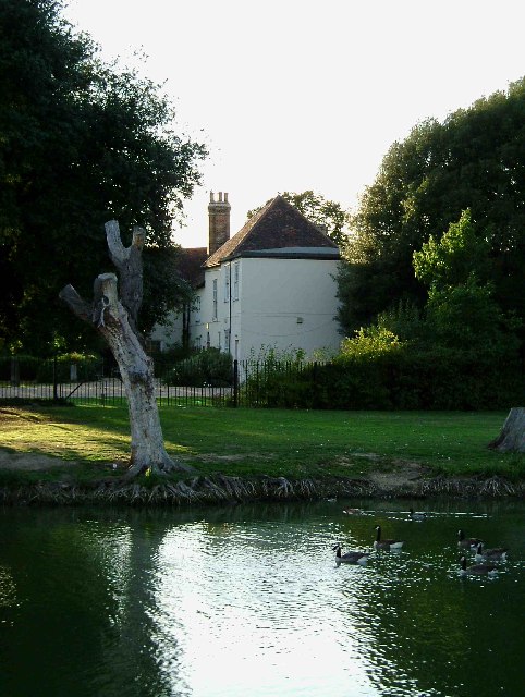
Parsloes Park
Parsloes Park is a 58 hectare public park in Dagenham in the London Borough of Barking and Dagenham. It is owned and managed by the borough council. A...
Parsloes Manor
Parsloes Manor was a manor house in what is now known as Parsloes Park in Dagenham in the London Borough of Barking and Dagenham. In 1585, it was described...

Becontree
Becontree or is an area of approximately 4 square miles (10 km2) in the London Borough of Barking and Dagenham. It is located 11 miles (17.7 km) east...
Nearby Amenities
Located within 500m of 51.548566,0.134048Have you been to Becontree?
Leave your review of Becontree below (or comments, questions and feedback).