Woodley, Lower
Settlement in Cornwall
England
Woodley, Lower

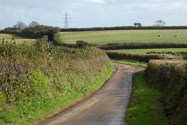
Woodley is a small village located in the civil parish of Lower, Cornwall, in the southwestern part of England. Nestled in the picturesque countryside, it is situated about 6 miles west of the market town of Liskeard. The village is surrounded by rolling hills and lush green fields, providing a stunning backdrop for its residents.
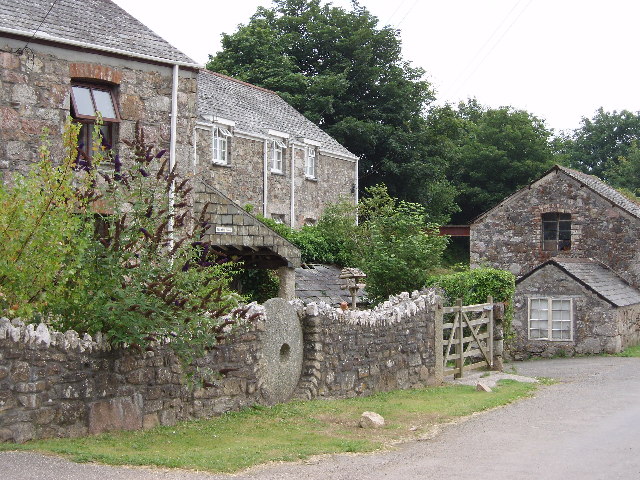
Woodley is known for its quaint and charming atmosphere, with a close-knit community that takes pride in preserving its rural character. The village is predominantly residential, with a scattering of traditional stone cottages and a few local amenities. The local pub is a popular gathering spot, offering a warm and friendly environment for locals and visitors alike.
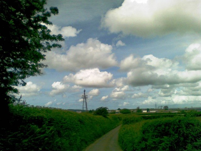
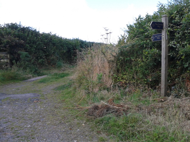
The village is surrounded by stunning natural beauty, making it an ideal location for outdoor enthusiasts. There are several walking trails and footpaths that wind through the countryside, providing opportunities for leisurely strolls and peaceful picnics. Woodley is also within easy reach of Bodmin Moor, a rugged and wild landscape that offers breathtaking scenery and fantastic hiking opportunities.
Despite its tranquil setting, Woodley is conveniently located near larger towns and cities. The bustling city of Plymouth is just a short drive away, offering a wide range of shopping, dining, and entertainment options. The nearby town of Liskeard provides residents with everyday amenities, including schools, medical facilities, and supermarkets.
In conclusion, Woodley is a picturesque village in Lower, Cornwall, that offers a peaceful and idyllic lifestyle. Its beautiful surroundings, close-knit community, and easy access to larger towns make it an attractive place to live for those seeking a rural retreat.
If you have any feedback on the listing, please let us know in the comments section below.
Woodley, Lower Images
Images are sourced within 2km of 50.451344/-4.7904538 or Grid Reference SX0265. Thanks to Geograph Open Source API. All images are credited.


Woodley, Lower is located at Grid Ref: SX0265 (Lat: 50.451344, Lng: -4.7904538)
Unitary Authority: Cornwall
Police Authority: Devon and Cornwall
What 3 Words
///corrosive.firepower.grew. Near Bodmin, Cornwall
Nearby Locations
Related Wikis

Tremore
Tremore is a small hamlet in the parish of Lanivet in Cornwall, England, United Kingdom. It is very close to the border of the parishes of Lanivet and...

Lower Woodley
Lower Woodley is a hamlet in the parish of Lanivet (where the population at the 2011 census was included.), Cornwall, England. Lower Woodley is approximately...
Mulberry Downs Quarry
Mulberry Downs Quarry is a disused opencast tin mine in Cornwall, England, UK. Today the site is described as a 'chasm' being a steep or sheer-sided pit...
Mulberry, Cornwall
Mulberry is a hamlet in the parish of Lanivet, Cornwall, England. == References ==
Lamorick
Lamorick is a hamlet in Cornwall, England. It is half a mile north of Lanivet {where the population for the 2011 census was included.} on the A30 main...
Withielgoose
Withielgoose or Withel-goose is a hamlet in Cornwall, England, UK. Withielgoose, from the Cornish gwyth (trees), yel (origin unknown) and coes (wood) suggests...
Rosehill, Cornwall
Rosehill Manor is a Grade II* listed country house at Penzance in west Cornwall, England, UK. The house was built in 1814 for Richard Oxnam (1768–1844...
Redtye
Redtye is a hamlet in mid Cornwall, England. Redtye is southwest of Lanivet on the A30 main road. == References ==
Nearby Amenities
Located within 500m of 50.451344,-4.7904538Have you been to Woodley, Lower?
Leave your review of Woodley, Lower below (or comments, questions and feedback).