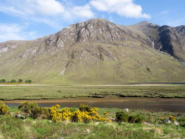
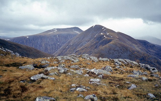
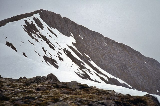
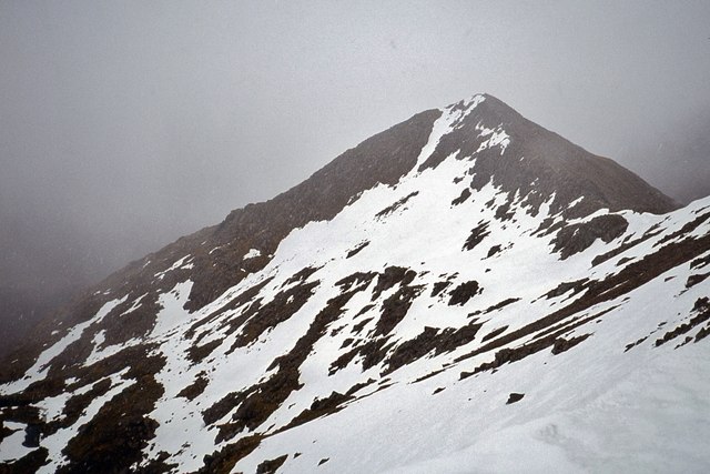
Coire Sgrìodain
Corrie (Glacial Valley) in Argyllshire
Scotland
Coire Sgrìodain
The requested URL returned error: 429 Too Many Requests
If you have any feedback on the listing, please let us know in the comments section below.
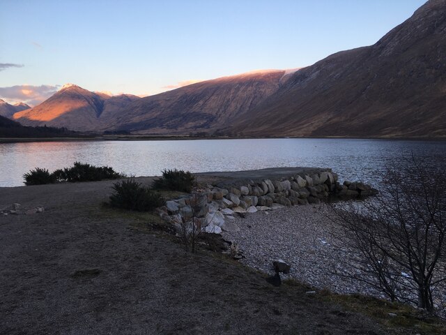
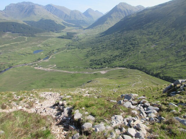
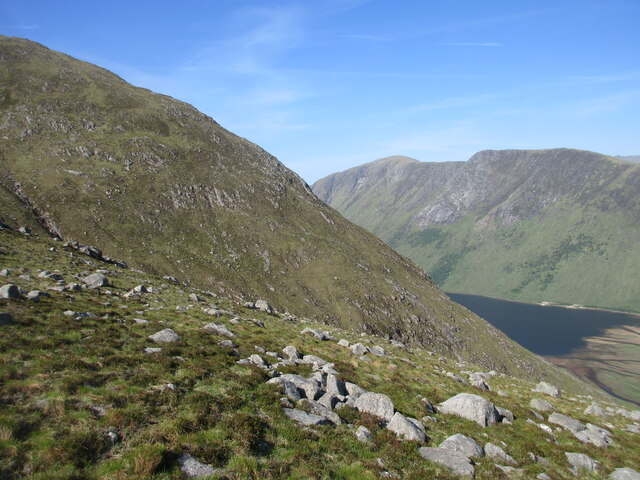
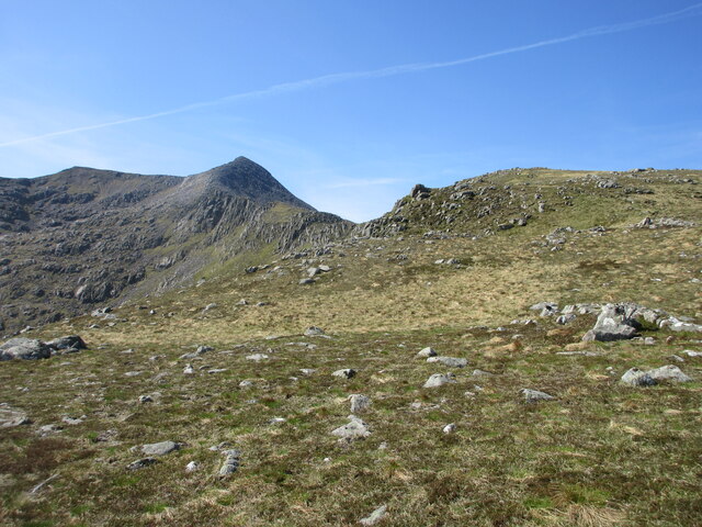
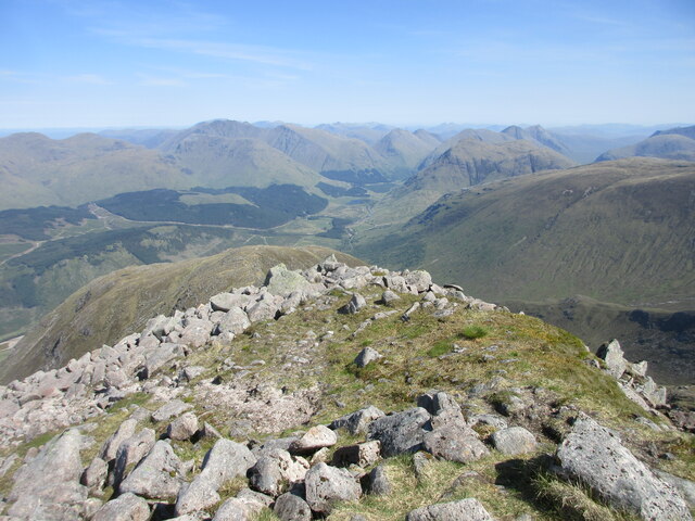
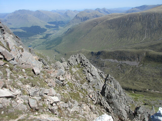
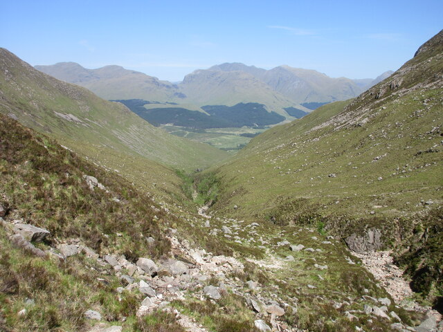
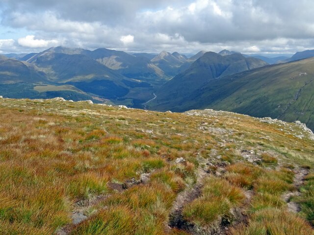
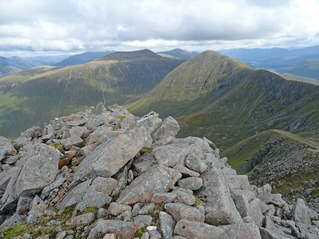
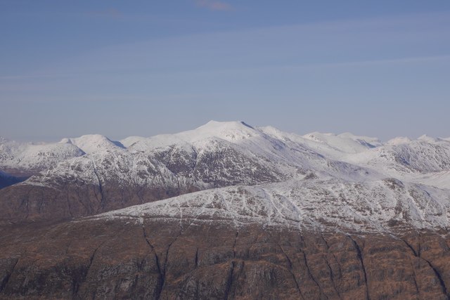
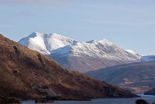
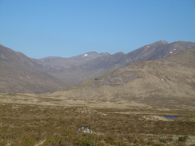
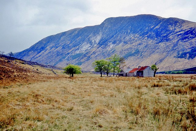
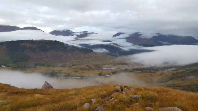
Coire Sgrìodain Images
Images are sourced within 2km of 56.545947/-5.0554558 or Grid Reference NN1243. Thanks to Geograph Open Source API. All images are credited.
Coire Sgrìodain is located at Grid Ref: NN1243 (Lat: 56.545947, Lng: -5.0554558)
Unitary Authority: Highland
Police Authority: Highlands and Islands
What 3 Words
///pelt.lights.ferried. Near Glencoe, Highland
Nearby Locations
Related Wikis

Ben Starav
Ben Starav (Scottish Gaelic: Beinn Starabh) is a mountain in the Lorn region of Argyll, in the Scottish Highlands. It is a Munro that rises 1,078 metres...

Glas Bheinn Mhòr (Munro)
Glas Bheinn Mhor (997 m) is a mountain in the Grampian Mountains of Scotland, south of Glen Etive. The Argyll and Bute and Highland border straddles its...

Beinn Trilleachan
Beinn Trilleachean (840 m) is a mountain in the Grampian Mountains, north of the village of Taynuilt at the head of Loch Etive. It lies on the border of...

Beinn nan Aighenan
Beinn nan Aighenan is a 960-metre (3,150 ft) high mountain in the Grampian Mountains of Scotland. It lies in Argyll and Bute, north of the village of Taynuilt...
Have you been to Coire Sgrìodain?
Leave your review of Coire Sgrìodain below (or comments, questions and feedback).