Coire a' Bhalachain
Corrie (Glacial Valley) in Inverness-shire
Scotland
Coire a' Bhalachain

The requested URL returned error: 429 Too Many Requests
If you have any feedback on the listing, please let us know in the comments section below.
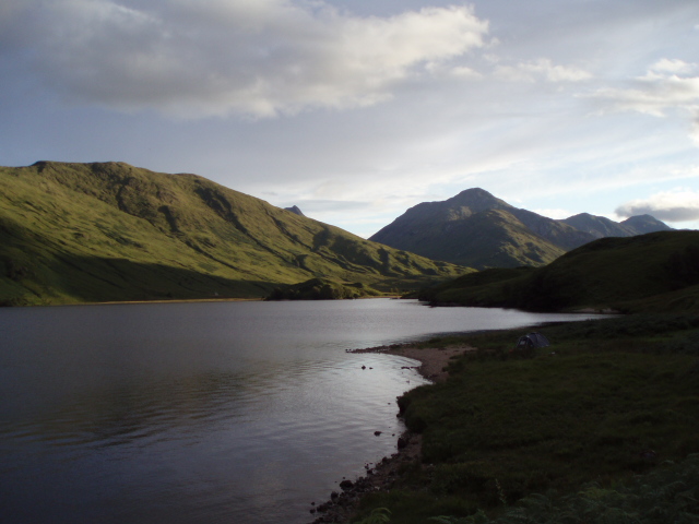
Coire a' Bhalachain Images
Images are sourced within 2km of 57.009529/-5.1481966 or Grid Reference NN0895. Thanks to Geograph Open Source API. All images are credited.


Coire a' Bhalachain is located at Grid Ref: NN0895 (Lat: 57.009529, Lng: -5.1481966)
Unitary Authority: Highland
Police Authority: Highlands and Islands
What 3 Words
///honeybees.machinery.darling. Near Gairlochy, Highland
Nearby Locations
Related Wikis
Loch Arkaig
Loch Arkaig (Scottish Gaelic: Loch Airceig) is a body of freshwater in Lochaber, Scotland, to the west of the Great Glen. It is approximately 12 miles...

Glen Kingie
Glen Kingie is a glen or valley in the Northwest Highlands of Scotland which opens onto Glen Garry at its north-eastern end at Kingie. It is drained by...

Ardechive
Ardechive (Scottish Gaelic: Àird Eachbhaidh) is a small crofting hamlet, located on the shores of Loch Arkaig, close to Achnasaul and Spean Bridge, county...

Gairich
Gairich, sometimes Sgurr Gairoch (Scottish Gaelic: Sgùrr Ghairich), is a mountain in Lochaber in the Northwest Highlands of Scotland. It is on the southern...
Have you been to Coire a' Bhalachain?
Leave your review of Coire a' Bhalachain below (or comments, questions and feedback).