Tuffley, Lower
Settlement in Gloucestershire Gloucester
England
Tuffley, Lower
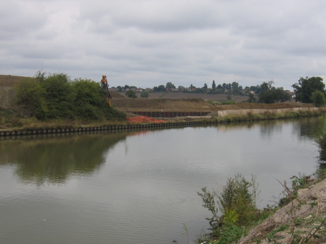
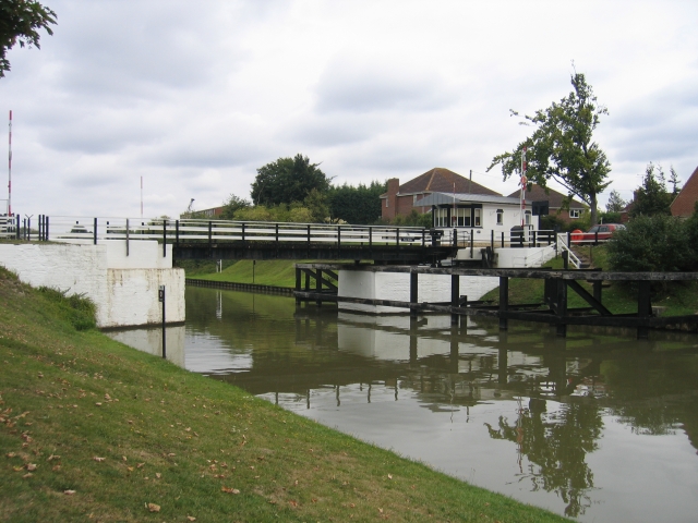
Tuffley is a small suburb located in the southern part of Gloucester, in the county of Gloucestershire, England. Situated about 2 miles south of the city center, Tuffley is bordered by the Gloucester and Sharpness Canal to the west, and the A38 road to the east.
The area is predominantly residential, with a mix of housing types including detached and semi-detached houses, as well as some bungalows and terraced properties. The architecture in Tuffley is varied, ranging from modern developments to more traditional buildings.
Tuffley benefits from several local amenities, including a primary school, a community center, and a small shopping precinct that offers a variety of shops, including a supermarket and convenience stores. The suburb also has a number of green spaces, such as Tuffley Park and the Tuffley Loop, which provide recreational opportunities for residents.
Transport links in Tuffley are well-established, with regular bus services connecting the area to Gloucester city center and other nearby towns. The M5 motorway is easily accessible, providing convenient connections to Bristol and Birmingham.
Overall, Tuffley offers a quiet and residential environment, with easy access to both urban amenities and the nearby countryside. Its proximity to Gloucester city center makes it an attractive location for families and individuals looking for a suburban lifestyle within reach of essential services.
If you have any feedback on the listing, please let us know in the comments section below.
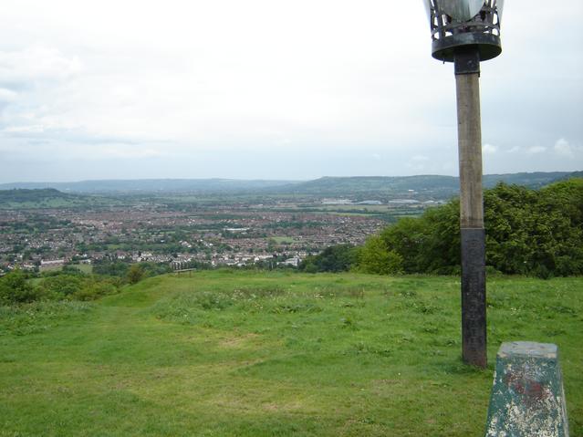
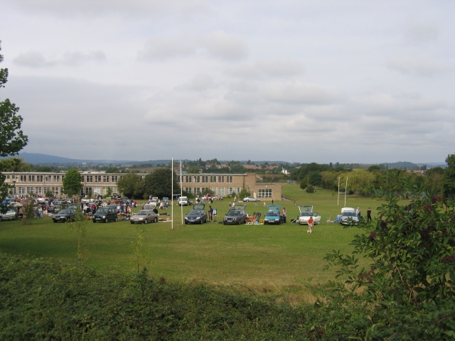
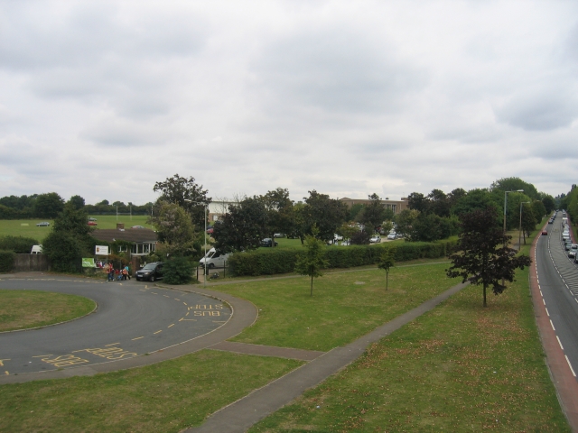
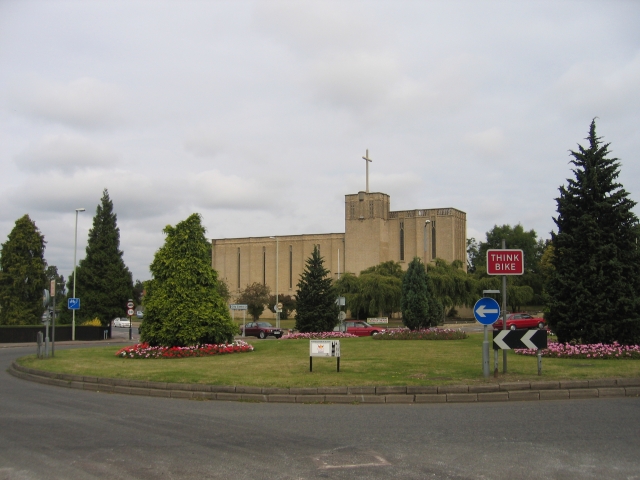
Tuffley, Lower Images
Images are sourced within 2km of 51.831224/-2.255232 or Grid Reference SO8214. Thanks to Geograph Open Source API. All images are credited.


Tuffley, Lower is located at Grid Ref: SO8214 (Lat: 51.831224, Lng: -2.255232)
Administrative County: Gloucestershire
District: Gloucester
Police Authority: Gloucestershire
What 3 Words
///claps.vast.ritual. Near Gloucester, Gloucestershire
Nearby Locations
Related Wikis
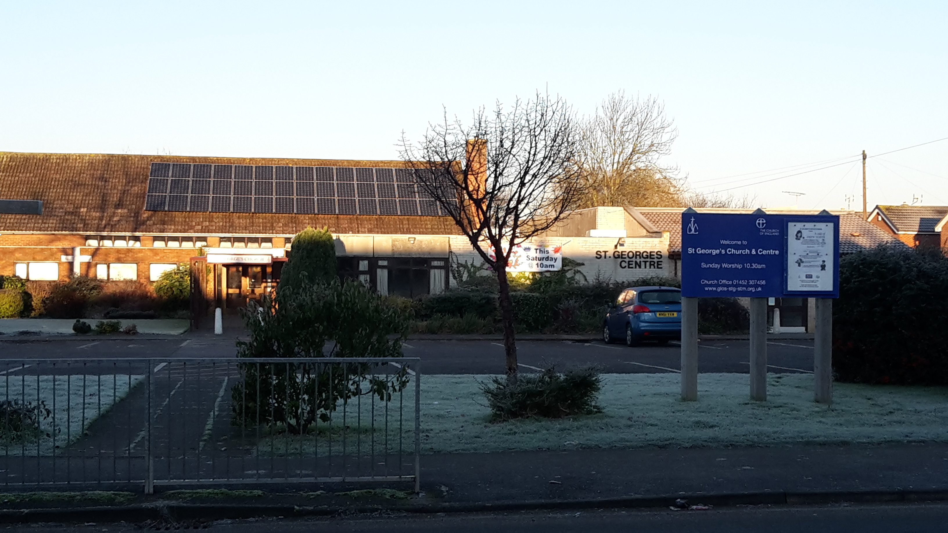
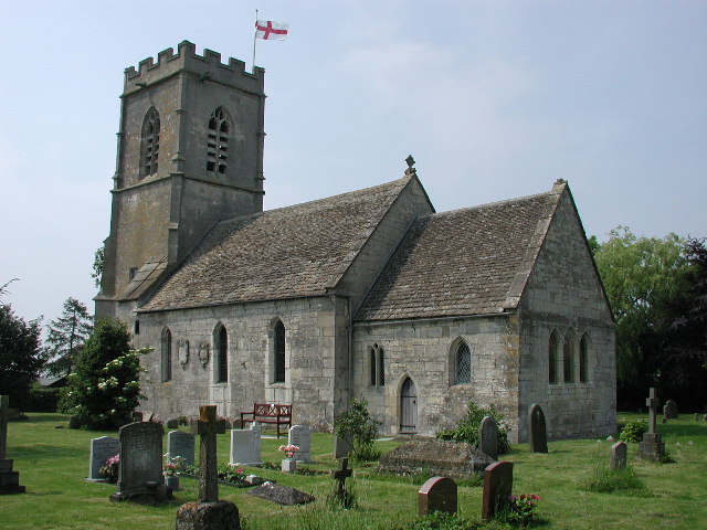
St George's Church, Gloucester
St George's Church is an Anglican church on Grange Road, Tuffley, Gloucestershire, England. Its worship style comprises common Anglican worship with seasonal...

Tuffley
Tuffley is a suburb in the city of Gloucester in Gloucestershire, England. The ward is unparished and situated near Robinswood Hill. == Origins == Tuffley...
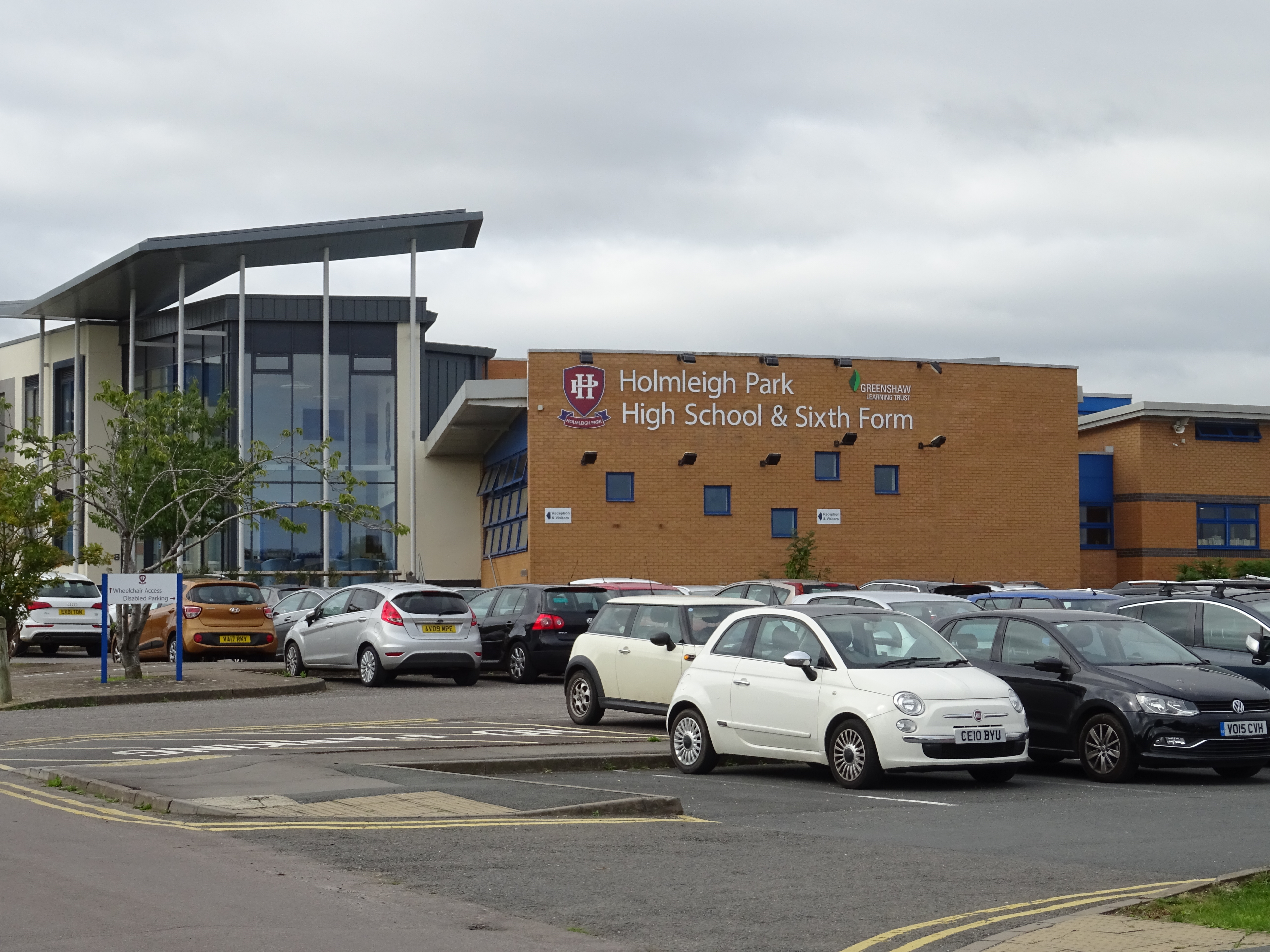
Holmleigh Park High School
Holmleigh Park High School is a co-educational secondary school and sixth form with academy status in Tuffley, Gloucester, Gloucestershire, England. The...

St Peter's High School, Gloucester
St Peter's High School and Sixth Form Centre is a Roman Catholic academy school and sixth form centre, on Stroud Road in the Tuffley area of Gloucester...

The Crypt School
The Crypt School is a grammar school with academy status for boys and girls located in the city of Gloucester. Founded in the 16th century, it was originally...
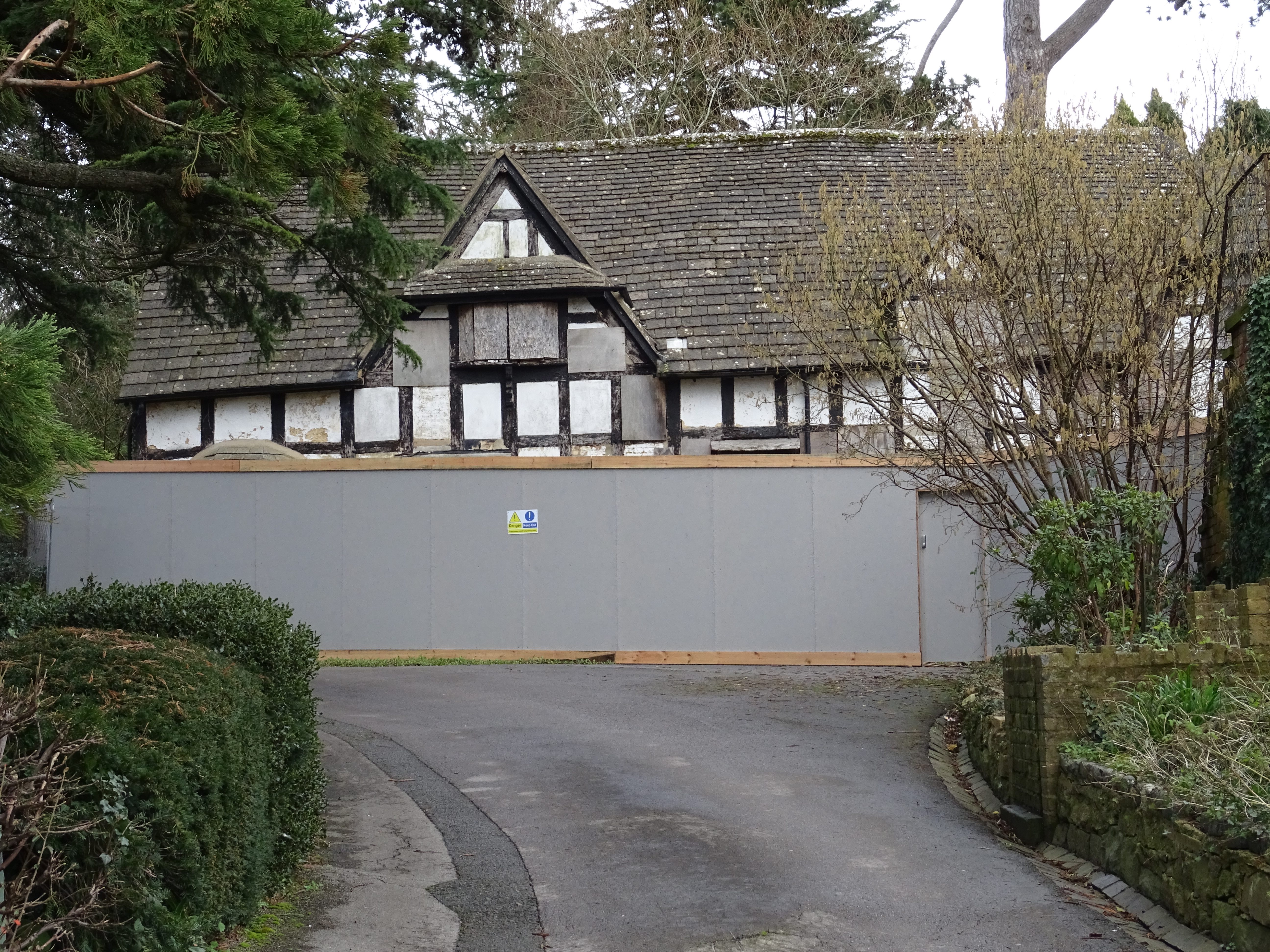
333 Stroud Road
333 Stroud Road is a former farmhouse on Stroud Road, Tuffley, Gloucester. It became a Grade II listed building on 12 March 1973. == History == It was...
Tuffley Rovers F.C.
Tuffley Rovers F.C. are a football club based in Tuffley in Gloucester, England. The club is playing in the Hellenic League Premier Division, the 9th...

Robin's Wood Hill Quarry
Robin's Wood Hill Quarry (grid reference SO836148) is a 1.67-hectare (4.1-acre) geological Site of Special Scientific Interest in Gloucestershire, on Robinswood...
Nearby Amenities
Located within 500m of 51.831224,-2.255232Have you been to Tuffley, Lower?
Leave your review of Tuffley, Lower below (or comments, questions and feedback).